
Where the pavement ends
4×4 and Jeep trails rated 1–10, with what each one takes, when it's open and who manages it. Drive to the trailhead with Nav, then follow the trail line on the map.
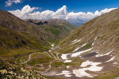 Difficult · 6/10
Abano Pass Road to Tusheti (Pshaveli–Omalo)
Kakheti – Tusheti, Georgia
42 mi · High-clearance 4x4; experienced mountain driver
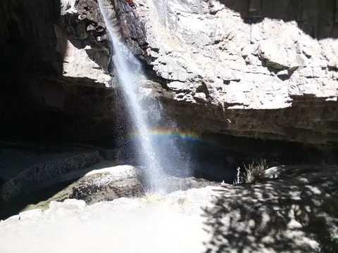 Moderate · 5/10
Abra Huayta: Orcopampa to Caylloma
Castilla & Caylloma provinces, Arequipa Region, Peru
61 mi · High-clearance 4x4 with low range, well acclimatised driver
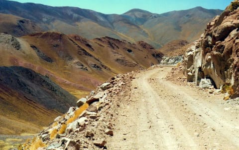 Moderate · 4/10
Abra del Acay (Ruta 40)
Salta Province, Puna / Valles Calchaquíes, Argentina
83 mi · High-clearance 4x4 recommended; turbo engines cope far better with the thin air
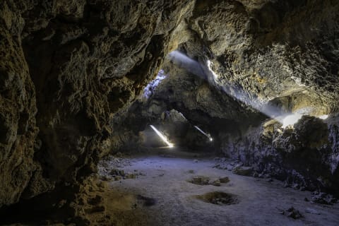 Easy · 2/10
Aiken Mine Road (Lava Tube)
Mojave National Preserve (Cima volcanic field), California
5 mi · Carefully driven 2WD when dry; high clearance helps
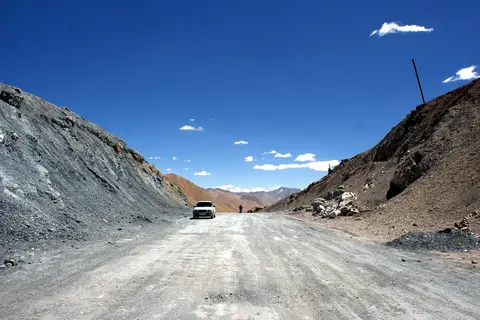 Moderate · 4/10
Ak-Baital Pass on the Pamir Highway (Karakul to Murghab)
Murghob District, Gorno-Badakhshan Autonomous Region, Tajikistan
78 mi · High-clearance 4x4; well-tuned engine for the altitude
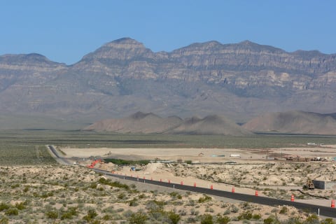 Moderate · 4/10
Alamo Road
Desert National Wildlife Refuge, Clark and Lincoln Counties, Nevada
70 mi · High-clearance 4x4
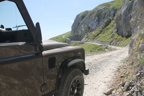 Moderate · 4/10
Alta Via del Sale (Limone–Monesi)
Ligurian Alps, Piedmont/Liguria (Italy–France border), Italy
19 mi · High-clearance 4x4 recommended; weight limits posted at the entrance
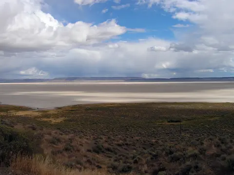 Easy · 1/10
Alvord Desert Playa (Frog Springs access)
Fields / East Steens, Harney County, Oregon
10 mi · Any high-clearance vehicle when the playa is completely dry
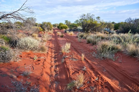 Difficult · 6/10
Anne Beadell Highway
Great Victoria Desert, South Australia to Western Australia, Australia
823 mi · Well-prepared 4x4 with long-range tanks, ideally two vehicles
 Difficult · 7/10
Antofagasta de la Sierra to Antofalla and Abra Antofalla
Puna de Atacama, Antofagasta de la Sierra, Catamarca, Argentina
125 mi · Equipped 4x4 with low range, sand recovery gear and long-range fuel; travel in convoy
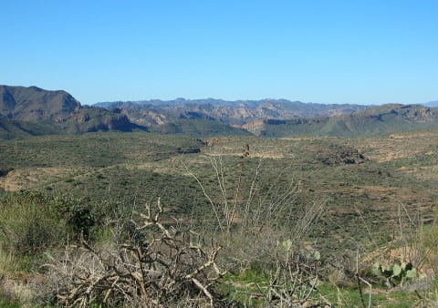 Easy · 3/10
Apache Trail (SR 88) — Tortilla Flat to Roosevelt Dam
Superstition Mountains / Phoenix, Arizona
25 mi · High-clearance 4WD or UTV required on the primitive segment (MP 222–227.6); no trailers
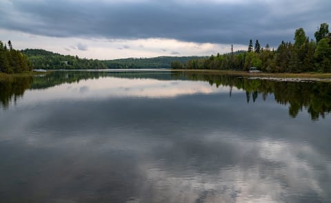 Easy · 1/10
Arrowhead Trail (Cook County Road 16)
Hovland, Cook County (Arrowhead), Minnesota
17 mi · Any high-clearance vehicle; wide graded gravel with steep grades in the north
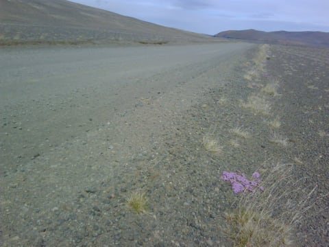 Moderate · 5/10
Askja road (F88)
Vatnajökull National Park — Askja, Iceland
99 mi · 4×4 with high clearance; river fords
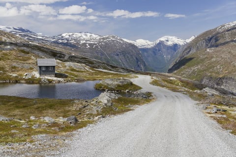 Easy · 2/10
Aursjøvegen
Sunndal and Molde, Møre og Romsdal, Norway
45 mi · Any car with care; not recommended for caravans, large motorhomes or buses
 Extreme · 8/10
Austrian Road (Burkhat and Alatay Passes)
East Kazakhstan Region (Katonkaragay / Kurshim districts), Kazakhstan
67 mi · High-clearance 4x4 with robust suspension; travel with a second vehicle
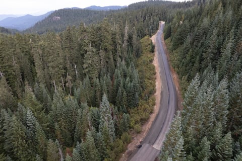 Easy · 2/10
Babyshoe Pass (Forest Road 23)
Randle to Trout Lake, west of Mount Adams, Washington
55 mi · High-clearance SUV or truck; careful passenger cars in dry conditions
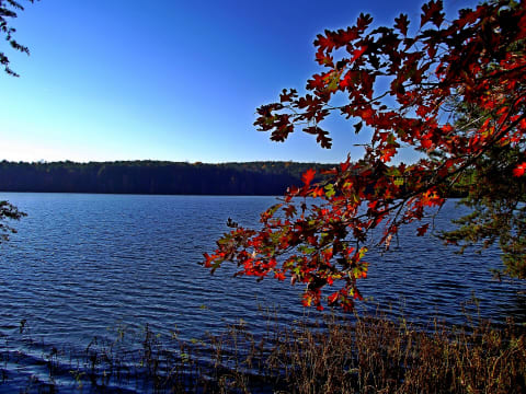 Moderate · 5/10
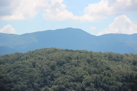
Badin Lake OHV Trail Complex
Troy / Eldorado, Montgomery County, North Carolina
17 mi · Stock 4x4 for the easy trails; lifted, locked rigs with armor for Dutch John, Dickey Bell, and Daniel
 Moderate · 4/10
Bald River Road (FR 126) & Waucheesi Mountain
Tellico Ranger District, Cherokee National Forest, Monroe County, Tennessee
9.6 mi · High clearance; 4WD or low range helpful on the steep summit spur. Street-legal, licensed vehicles only
 Easy · 2/10
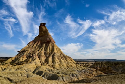
Bardenas Reales – La Blanca loop
Bardenas Reales Natural Park, Navarre, Spain
27 mi · Any sound car in dry weather; high clearance helps on ruts
 Easy · 3/10
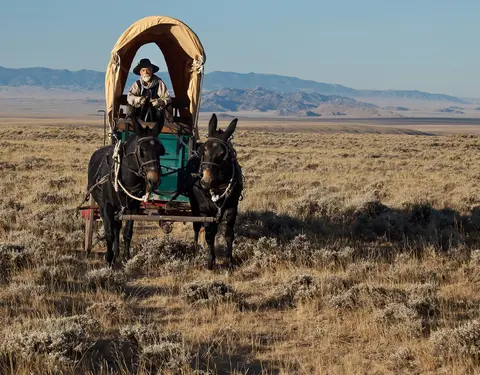
Barlow Road (Forest Road 3530)
Barlow Pass, Mt. Hood, Oregon
7 mi · High-clearance 4x4 or AWD; narrow and rocky, not for trailers
 Easy · 2/10
Barskoon Pass Road to the Arabel Plateau
Issyk-Kul Region, Kyrgyzstan
50 mi · Any high-clearance vehicle; 4x4 advised for side tracks on the plateau
 Difficult · 7/10
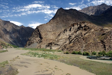
Bartang Valley Road
Gorno-Badakhshan (Rushon District), Tajikistan
80 mi · High-clearance 4x4 with low range; experienced driver
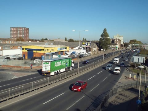 Moderate · 5/10
Bastervoetpad Pass
Elliot-Ugie, Eastern Cape, South Africa
30 mi · 4x4 with low range and high ground clearance required
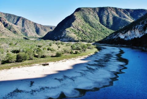 Moderate · 4/10
Baviaanskloof Road (Nuwekloof to Patensie)
Baviaanskloof, Eastern Cape, South Africa
105 mi · High-clearance 4x4 strongly encouraged inside the wilderness area; no trailers on Holgat Pass
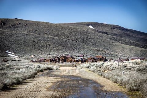 Easy · 3/10
Bayhorse Creek Road to Bayhorse Lakes
Challis, Idaho, Idaho
7 mi · High-clearance vehicle; trailers under 32 ft with caution
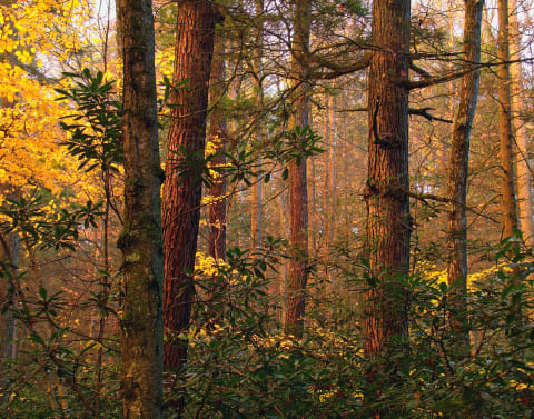 Easy · 1/10
Bear Meadows Road
Boalsburg / State College, Centre & Huntingdon counties, Pennsylvania
8 mi · Any street-legal vehicle; hairpins are tight for rigs over 30 ft. No ATVs.
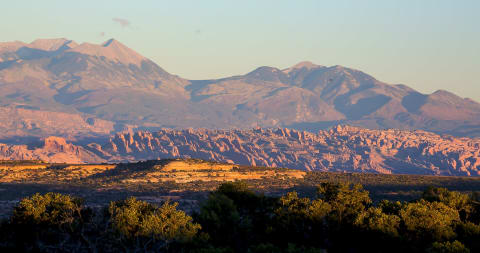 Difficult · 7/10
Behind the Rocks
Moab, Utah
14 mi · Modified 4×4 — lockers and 33"+ tires
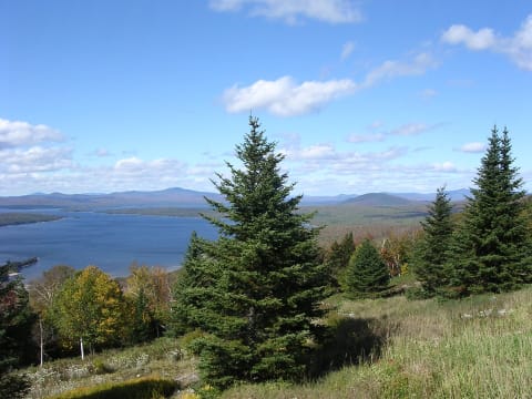 Easy · 3/10
Bemis Road
Rangeley Lakes, Maine
15 mi · High-clearance vehicle
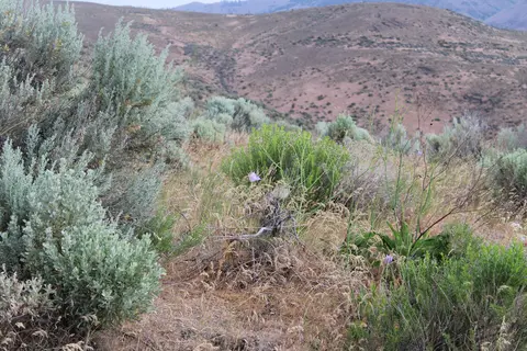 Easy · 2/10
Bethel Ridge Road (FR 1500)
Rimrock Lake to Nile, Yakima County, Washington
25 mi · Any high-clearance vehicle; the gravel is maintained
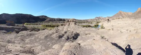 Easy · 2/10
Big Bend Ranch State Park Main Park Road (FM 170 to Sauceda and Fresno Vista)
Big Bend Ranch State Park, Presidio and Brewster counties, Texas
37 mi · Street-legal high-clearance SUV or truck; 4x4 recommended after rain; no side-by-sides, dirt bikes or trailers
 Easy · 3/10
Big Creek Baldy Lookout Road (FR 309)
Libby / Pipe Creek, Montana
6 mi · High-clearance vehicle; 4x4 with low range helps on the final mile
 Easy · 3/10
Big Creek Road via Profile Gap
Yellow Pine / Big Creek, Valley County, Idaho
25 mi · High-clearance 4x4 or SUV; narrow and rough, not for trailers
 Easy · 2/10
Big Ivy Road (FR 74) to Douglas Falls
Big Ivy / Coleman Boundary, Buncombe County (Barnardsville), North Carolina
8.6 mi · Most passenger cars in dry weather; higher clearance helps on the upper road
 Easy · 2/10
Big Sheep Creek Back Country Byway
Dell / Dillon, Montana
55 mi · High-clearance vehicle; 4WD only needed in mud season or after rain
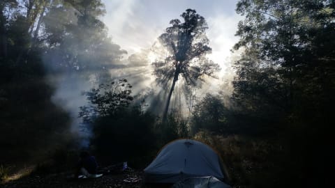 Difficult · 7/10
Billy Goat Bluff Track
Victorian High Country, Australia
5.2 mi · 4×4 with low range; experienced driver
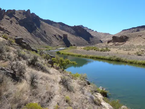 Moderate · 4/10
Birch Creek Road to Birch Creek Historic Ranch
Owyhee Canyonlands, Malheur County, Oregon
6 mi · High-clearance 4x4 with low range; trailers limited to 16 ft
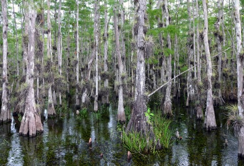 Easy · 1/10
Birdon Road
Big Cypress National Preserve, Florida
4.4 mi · Most vehicles in the dry season
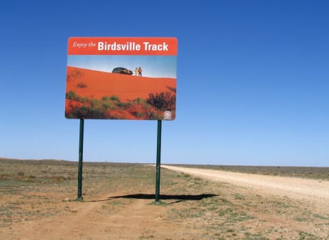 Easy · 3/10
Birdsville Track
Outback South Australia / Queensland, Australia
319 mi · High-clearance vehicle; 4×4 recommended
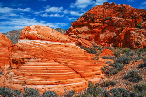 Moderate · 4/10
Bitter Springs Backcountry Byway
Muddy Mountains / Lake Mead (Overton–Las Vegas), Nevada
27 mi · High-clearance 4WD with good tires for rock and deep sand
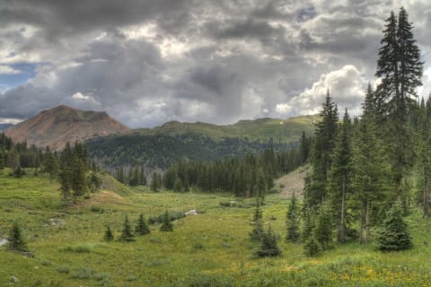 Difficult · 7/10
Black Bear Pass
Ouray / Telluride, Colorado
11 mi · Short-wheelbase, high-clearance 4×4 with low range and an experienced driver
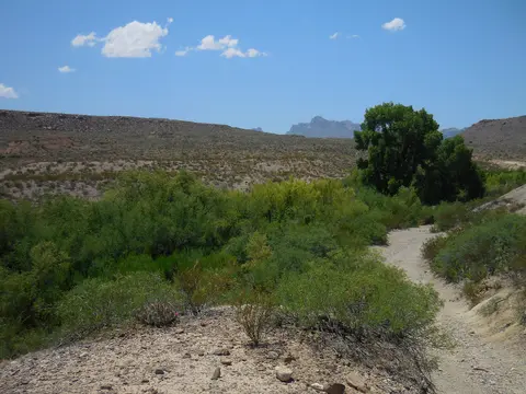 Moderate · 5/10
Black Gap Road (Big Bend National Park)
Big Bend National Park, Brewster County, Texas
8.5 mi · Street-legal high-clearance 4x4 with low range; small AWD crossovers will scrape or hang up
 Moderate · 4/10
Black Mountain Off-Road Adventure Area
Evarts / Harlan, Kentucky
150 mi · Registered stock 4x4 with good tires; some steep, rutted climbs
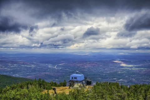 Easy · 3/10
Black Mountain Road (FR 16 / FR 222)
Dayton / Burgess Junction, Wyoming
4.2 mi · Any vehicle on FR 16 when dry; high-clearance 4WD on FR 222; ATV/UTV ≤50 in. on Trail #011
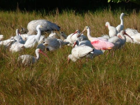 Easy · 1/10
Black Point Wildlife Drive
Merritt Island National Wildlife Refuge, Florida
6.3 mi · Any vehicle
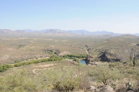 Easy · 3/10
Bloody Basin Road to Sheep Bridge (FR 269)
Agua Fria National Monument to the Verde River, north of Phoenix, Arizona
36 mi · High-clearance SUV; 4WD helpful on side spurs
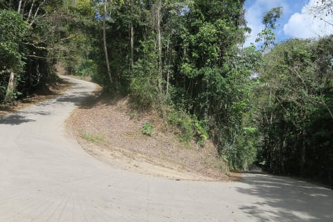 Easy · 3/10
Bloomfield Track
Daintree / Cape York Peninsula, Queensland, Australia
19 mi · 4WD only per council; no trailers, campervans or caravans
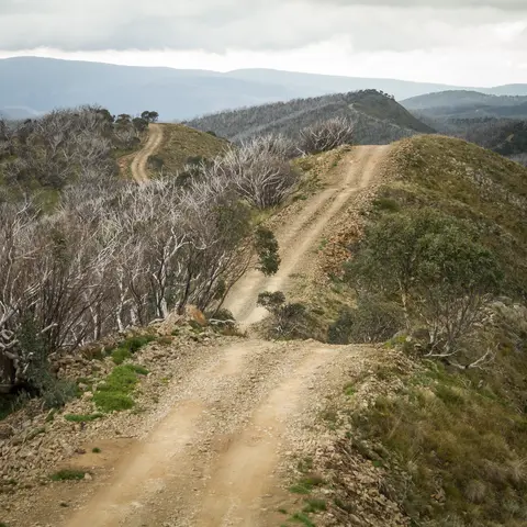 Difficult · 6/10
Blue Rag Range Track
Alpine National Park, Victorian High Country, Australia
10 mi · High-clearance 4WD with low range and good suspension; no trailers
 Moderate · 4/10
Blue Slide Road (NF-1020), Ahtanum
Ahtanum State Forest, west of Yakima / Tampico, Washington
14 mi · High-clearance 4x4
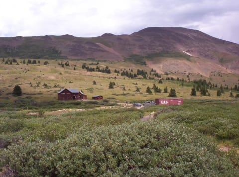 Easy · 1/10
Boreas Pass Road
Como / Breckenridge, Colorado
21 mi · Any passenger car or SUV in dry weather; highway-legal vehicles only
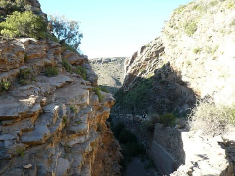 Moderate · 4/10
Bosluiskloof Pass
Klein Karoo, Western Cape, South Africa
14.9 mi · High-clearance 4x4 recommended; steep loose sections and no services
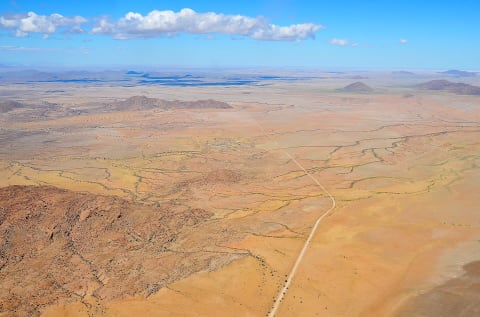 Easy · 3/10
Bosua Pass (C28 Windhoek to Swakopmund)
Khomas / Erongo, Namibia
198 mi · High-clearance vehicle, 4x4 recommended; no trailers or caravans
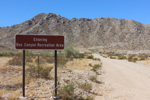 Moderate · 5/10
Box Canyon (Florence)
Florence Junction area, Pinal County, Arizona
High-clearance 4WD
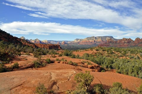 Difficult · 6/10
Broken Arrow Trail
Sedona, Arizona
3.7 mi · High-clearance 4WD with skid plates; street-legal only; not for extra-wide or extra-long rigs
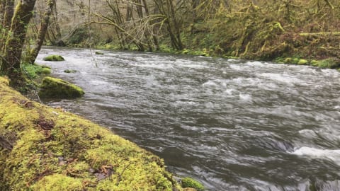 Difficult · 6/10
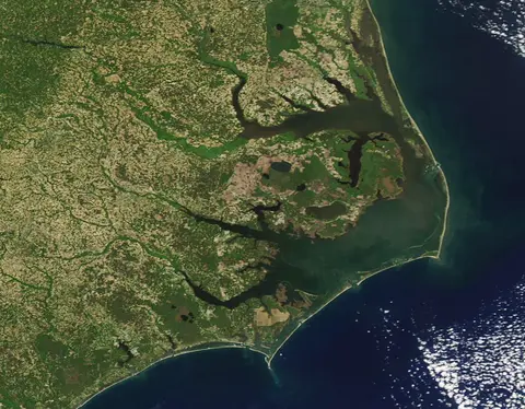
Browns Camp OHV Area & Firebreak 5 (Tillamook State Forest)
Gales Creek / Banks, Coast Range west of Portland, Washington & Tillamook counties, Oregon
10 mi · Modified 4x4 for Firebreak 5 (33-35 in. tires, lockers, winch); easier loops for stock high-clearance 4x4 and OHVs
 Easy · 3/10
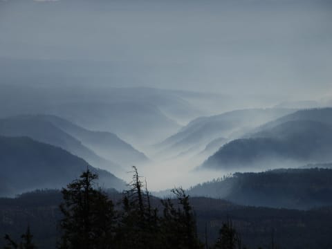
Burley Mountain Lookout Road (FR 7605)
Randle / Cispus River, Lewis County, Washington
22 mi · High-clearance 4x4 recommended; a mid-size SUV can usually make it in dry conditions
 Easy · 2/10
Bursum Road (NM 159)
Mogollon / Glenwood, New Mexico
16 mi · High-clearance 2WD in dry conditions; no long trailers or RVs
 Easy · 2/10
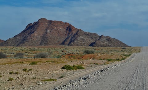
C14 Kuiseb Pass (Solitaire to Walvis Bay)
Khomas / Erongo Region, Namib-Naukluft Park, Namibia
143 mi · Any sound vehicle driven carefully; SUV or 4x4 preferred for comfort on corrugations
 Easy · 2/10
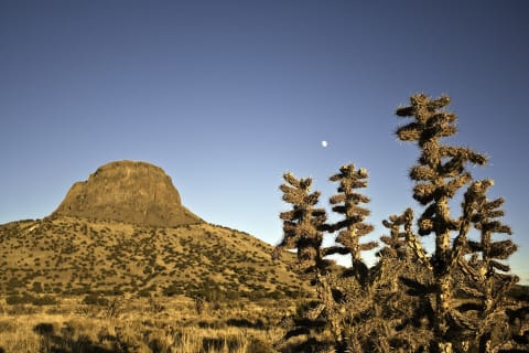
Cabezon Peak Road (CR 279 / BLM 1114)
Rio Puerco Valley, northwest of San Ysidro, New Mexico
15 mi · High-clearance 2WD when dry
 Easy · 3/10
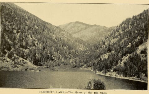
Cabresto Canyon & Lake Road (FR 134 / 134A)
Carson National Forest, Questa, New Mexico
8 mi · High-clearance 4x4 recommended for FR 134A
 Moderate · 4/10
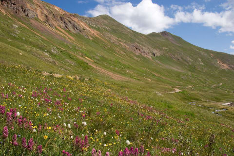
California Gulch
Animas Forks / Silverton, Colorado
5 mi · High-clearance 4×4 with low range
 Easy · 3/10
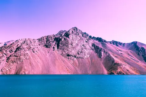
Camino Embalse El Yeso
Cajón del Maipo, Región Metropolitana, Chile
26 mi · Any car in dry summer conditions; 4WD for snow or the extension to Termas del Plomo
 Easy · 3/10
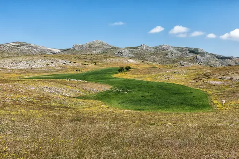
Campos de Hernán Perea
Sierra de Segura, Santiago-Pontones, Jaén (Andalusia), Spain
4x4 recommended. The surface is mostly gravel but rough in places, with no services on the plateau.
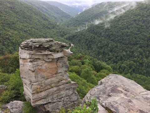 Moderate · 4/10
Canaan Loop Road
Canaan Mountain / Davis, West Virginia
14.5 mi · High-clearance 4x4; stock rigs on 33s get through with some pinstriping
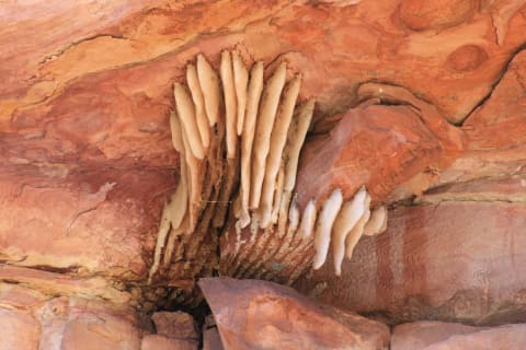 Extreme · 8/10
Canning Stock Route
Western Australian deserts, Australia
600 mi · Built, self-sufficient 4×4 — long-range fuel, recovery gear
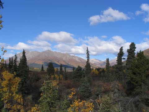 Easy · 3/10
Canol Road
Yukon, Canada
112 mi · High-clearance vehicle
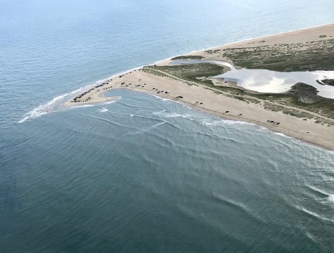 Easy · 3/10
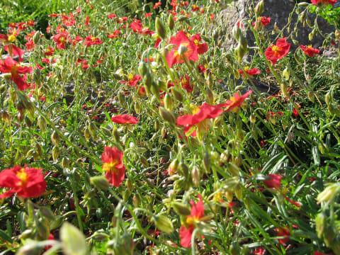
Cape Point via Ramps 43/44 (Cape Hatteras)
Buxton, Hatteras Island, North Carolina
4WD required for soft sand; air down to about 20 psi
 Moderate · 5/10
Carlisleshoekspruit Pass
Rhodes, Eastern Cape, South Africa
13 mi · 4x4 with low range recommended; normal cars only in stable dry conditions
 Easy · 2/10
Carova 4x4 Beach (Corolla to the Virginia Line)
Corolla / Carova Beach, Currituck Outer Banks, North Carolina
11 mi · Any 4WD vehicle aired down for soft sand; 2WD vehicles get stuck
 Easy · 3/10
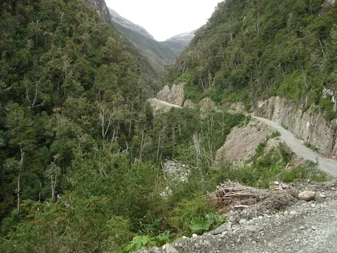
Carretera Austral South: Cochrane to Villa O'Higgins
Capitán Prat Province, Aysén Region, Chile
140 mi · Any high-clearance vehicle; 4x4 helpful in wet weather
 Easy · 3/10
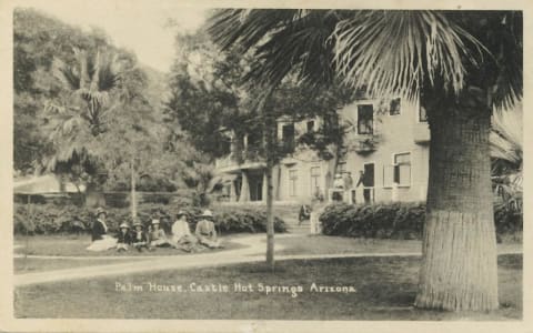
Castle Hot Springs Road
Lake Pleasant to Morristown, northwest of Phoenix, Arizona
26 mi · High-clearance SUV
 Easy · 3/10
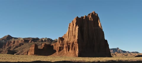
Cathedral Valley Loop (Hartnet & Cathedral Roads)
Capitol Reef National Park, Cathedral District (Caineville), Utah
57.6 mi · High-clearance vehicle; 4WD not strictly required when dry. No ATVs/UTVs (including street-legal) in the park
 Easy · 2/10
Cederberg Road via Uitkyk Pass
Cederberg, Western Cape, South Africa
85 mi · Most vehicles in dry weather; high clearance preferred for the gravel east section
 Easy · 2/10
Centennial Valley Road (Red Rock Pass Road)
Monida / Lakeview (Centennial Valley), Montana
53 mi · Any car or SUV when dry; 4WD only in mud season
 Moderate · 4/10
Central Kalahari: Deception Valley to Piper Pan
Ghanzi / Central District (Central Kalahari Game Reserve), Botswana
130 mi · 4x4 with low range; long-range fuel and water tanks
 Moderate · 4/10
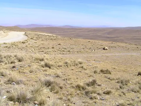
Chacaltaya Road (Ruta Chacaltaya)
Cordillera Real, Pedro Domingo Murillo Province, La Paz Department, Bolivia
22 mi · High-clearance 4x4 with good brakes; low range helps on the steep upper ramps
 Easy · 2/10
Chain of Craters Backcountry Byway (CR 42)
El Malpais National Conservation Area, near Grants, New Mexico
33 mi · High-clearance 2WD (4WD when wet)
 Difficult · 7/10
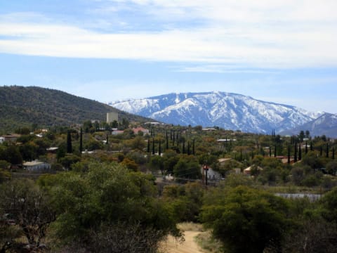
Charouleau Gap
Tucson / Oracle, Arizona
18 mi · Modified 4×4 — lockers and 33"+ tires
 Moderate · 4/10
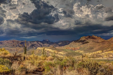
Cherry Creek Road (FR 203)
Sierra Ancha, between Globe and Young, Arizona
22 mi · High-clearance 4WD with full-size spare
 Easy · 1/10
Cherry Mountain Road
Jefferson / Twin Mountain, New Hampshire
3.9 mi · Most vehicles when open
 Easy · 3/10
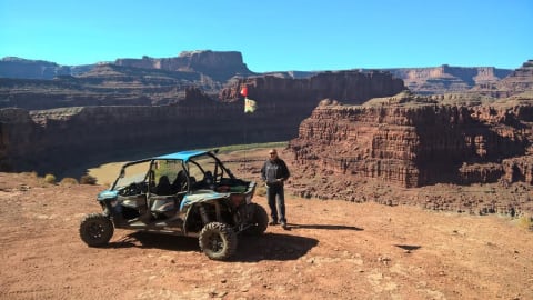
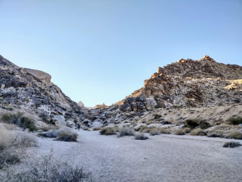
Chicken Corners
Moab — Kane Creek, Utah
4.6 mi · High-clearance 4×4
 Easy · 2/10
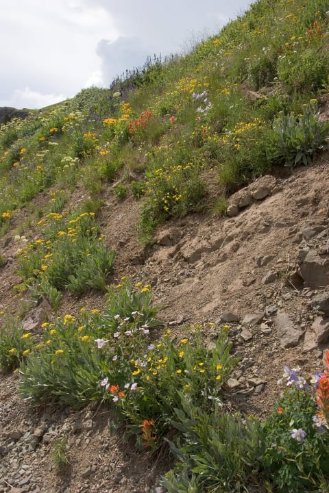
Christmas Tree Pass Road
Searchlight / Laughlin, Nevada
16.3 mi · Usually fine for careful 2WD; high clearance recommended after storms
 Moderate · 4/10
Cinnamon Pass
Silverton / Lake City (Alpine Loop), Colorado
20 mi · High-clearance 4×4 with low range
 Moderate · 5/10
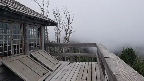
Cirque de Jaffar Piste (Tounfit to Midelt)
Midelt Province, Drâa-Tafilalet (Eastern High Atlas), Morocco
42 mi · Normal-sized high-clearance 4x4; slow going
 Easy · 2/10
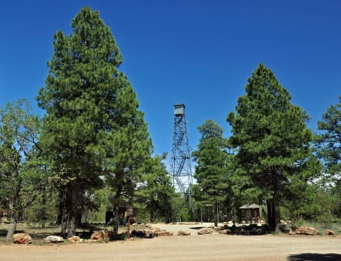
Cloud Cap Road (Forest Road 3512)
Cooper Spur / Mt. Hood north side, Hood River County, Oregon
10 mi · High-clearance SUV or 4x4; narrow, winding and rocky
 Easy · 3/10
Coconino Rim Road to Grandview Lookout (FR 302/310)
Kaibab Plateau, south of Grand Canyon's South Rim, Arizona
17 mi · High-clearance SUV or truck
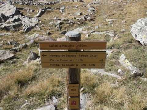 Easy · 3/10
Col de la Moutière to Restefond (Mercantour)
Haute-Tinée / Ubaye, Alpes-Maritimes & Alpes-de-Haute-Provence, France
10 mi · High-clearance car or 4x4; no caravans, camper vans or vehicles over 3.5 t
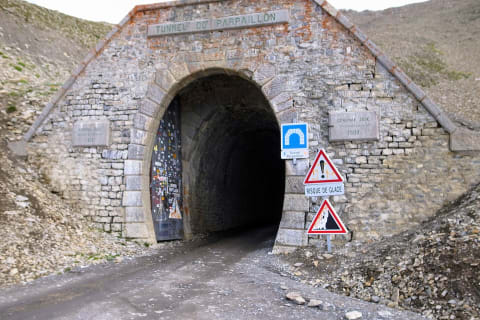 Moderate · 4/10
Col du Parpaillon
Embrun / Ubaye valley, France
7.1 mi · High-clearance vehicle; 4×4 helps
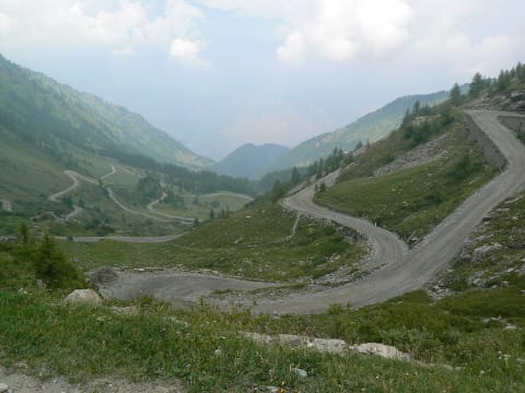 Easy · 3/10
Colle delle Finestre
Val di Susa and Val Chisone, Piedmont, Italy
22 mi · Any car with care when dry; the gravel is narrow with puncture risk; small vehicles preferred
 Easy · 3/10
Colockum Pass Road
Between Ellensburg/Kittitas and Wenatchee (Malaga), Washington
High-clearance 4x4 recommended
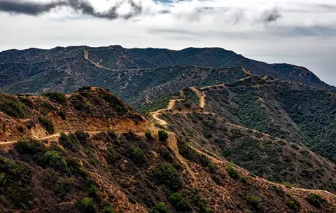 Easy · 3/10
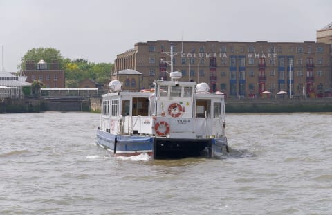
Cooper Mountain Road (FR 8020)
Chelan to Methow (Black Canyon), Washington
35 mi · High-clearance 4x4 recommended; narrow with few passing spots
 Easy · 2/10
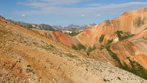
Copper Basin Loop Road
Copper Basin, between Sun Valley and Mackay, Idaho
44 mi · Any high-clearance vehicle in dry conditions
 Moderate · 4/10
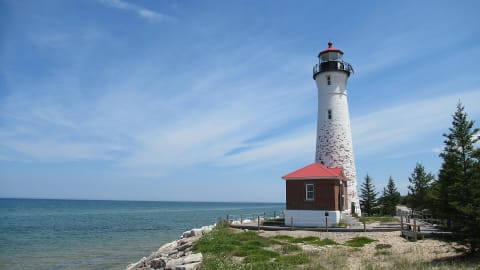
Corkscrew Gulch
Red Mountain / Ouray, Colorado
4.5 mi · High-clearance 4×4 with low range
 Easy · 2/10
County Road 412 to Crisp Point Light
Paradise / Newberry, Luce County (Upper Peninsula), Michigan
8 mi · High-clearance vehicle; sand sections not recommended for motorcycles
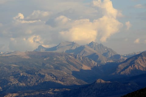 Moderate · 4/10
Coyote Flat Road
Bishop / Eastern Sierra, California
8.6 mi · Stock high-clearance 4x4
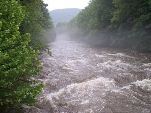 Easy · 2/10
Cranberry Backcountry Roads (FR 76 & FR 101)
Monongahela National Forest, Gauley Ranger District, West Virginia
17 mi · Any car in dry weather; high clearance helps
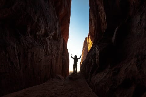 Easy · 3/10
Crazy Woman Canyon Road (Forest Road 33)
Buffalo / Big Horn Mountains, Wyoming
13 mi · High-clearance SUV or 4x4; nothing larger than an SUV
 Easy · 2/10
Crisman Hollow Road (FR 274)
Massanutten Mountain, between New Market Gap (US 211) and Camp Roosevelt (SR 675), Virginia
9 mi · Any car with reasonable clearance in dry conditions; SUV preferred
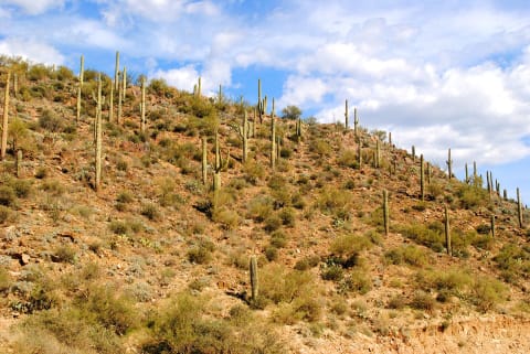 Easy · 3/10
Crown King Road via Cleator
Bumble Bee / Crown King, Arizona
18 mi · High-clearance vehicle
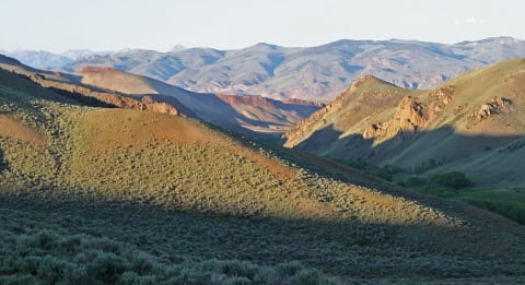 Easy · 3/10
Custer Motorway Adventure Road
Challis / Stanley, Land of the Yankee Fork, Idaho
43.6 mi · High-clearance 2WD or 4x4; not recommended for low-clearance cars or trailers
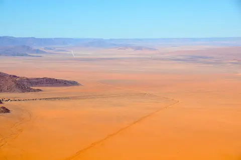 Easy · 3/10
D707 Scenic Route (Aus to Spes Bona)
//Karas Region, southern Namibia (Tiras Mountains / Namtib), Namibia
76 mi · 4x4 with good clearance recommended for the soft sand sections.
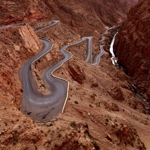 Moderate · 4/10
Dadès Gorges to Agoudal (R704 over Jebel Ouamenzri)
Tinghir Province, Drâa-Tafilalet (Central High Atlas), Morocco
76 mi · High-clearance 4x4; the paved lower gorge suits any car but the upper piste does not
 Moderate · 5/10
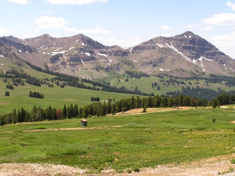
Daisy Pass & Lulu Pass Road
Cooke City, Montana
5 mi · High-clearance 4x4 or side-by-side
 Easy · 2/10
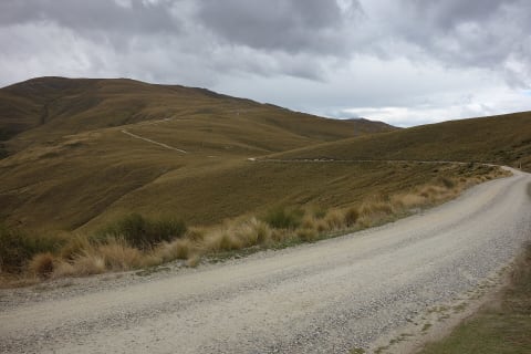
Danseys Pass Road
North Otago / Maniototo, New Zealand
Any high-clearance vehicle in the dry; 4WD recommended when wet or snowy
 Easy · 3/10
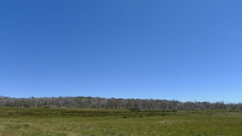
Dargo High Plains Road
Victorian High Country, Victoria, Australia
43 mi · High-clearance 2WD at low speed when dry; 4WD preferred; no caravans
 Moderate · 4/10
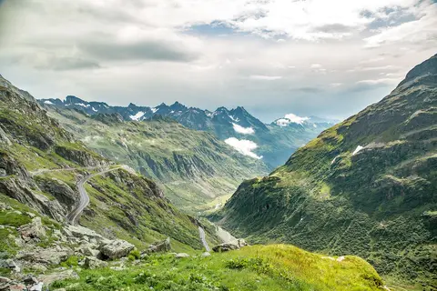
Darland Mountain via Middle Fork Ahtanum Road
Ahtanum State Forest, west of Yakima, Washington
10 mi · High-clearance 4x4 for the last 2 miles above Clover Flats; most vehicles can reach Clover Flats
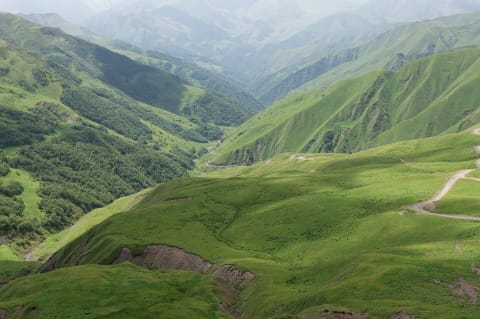 Moderate · 5/10
Datvisjvari Pass to Shatili (Barisakho–Shatili–Mutso)
Khevsureti, Dusheti Municipality, Mtskheta-Mtianeti, Georgia
38 mi · 4x4 with high clearance.
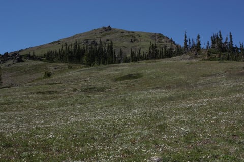 Easy · 2/10
Deer Park Road
Port Angeles, Washington
9 mi · Stock high-clearance vehicle recommended; no RVs or trailers
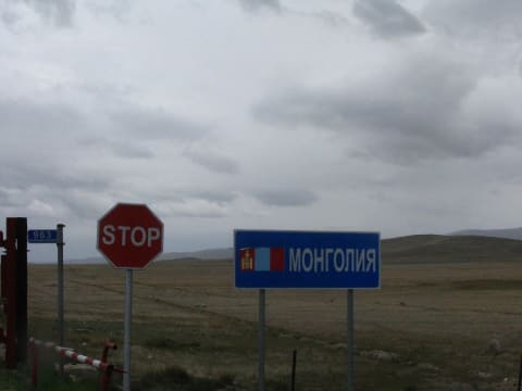 Moderate · 5/10
Delüün to Bulgan Altai Road
Bayan-Ölgii Province, Mongolia
78 mi · High-clearance 4x4 (mandatory)
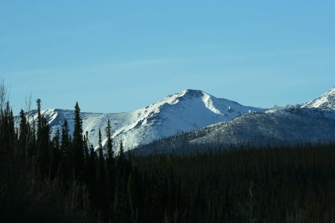 Easy · 3/10
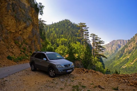
Dempster Highway
Yukon / Northwest Territories, Canada
334 mi · Any well-prepared vehicle; two spare tyres
 Easy · 3/10
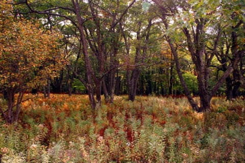
Dollarhide Summit (Warm Springs Road)
Ketchum to Featherville, Idaho
67.5 mi · High-clearance SUV or pickup in dry conditions
 Easy · 2/10
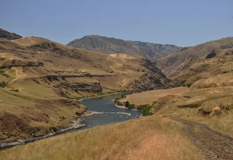
Dolly Sods Forest Roads 75 & 19
Dolly Sods, West Virginia
Any high-clearance vehicle; 2WD is fine when dry
 Moderate · 4/10
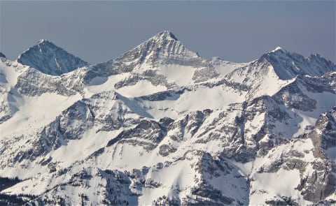
Dug Bar Road (Forest Road 4260)
Imnaha / Hells Canyon, Wallowa County, Oregon
31 mi · High-clearance 4x4; narrow single lane with steep grades, no trailers
 Easy · 2/10
Duncan Ridge Road (FS 39)
Suches / Blairsville (Cooper Creek WMA), Georgia
9 mi · High-clearance SUV or pickup; 4WD helpful when wet
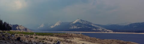 Extreme · 8/10
Dusy-Ershim Trail
Sierra National Forest, California
28 mi · Built 4×4 — lockers, 35"+ tires, armor
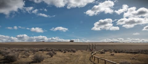 Moderate · 4/10
East Fort Rock OHV Trail System
Bend-Fort Rock Ranger District, southeast of Bend / east of La Pine, Deschutes County, Oregon
15 mi · ATV, UTV, dirt bike; 4x4 on designated routes
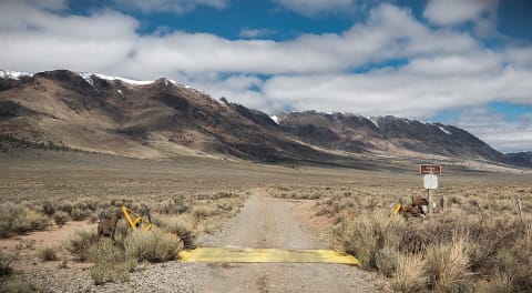 Easy · 2/10
East Steens Road
Fields / Alvord Desert, Oregon
Any vehicle with decent tires; high clearance helps on washboard and playa spurs
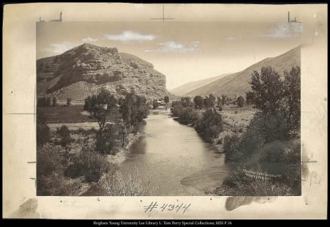 Moderate · 4/10
Echo Canyon Road (Inyo Mine)
Death Valley National Park (Furnace Creek), California
9.5 mi · High clearance for the first ~3 miles; 4WD beyond. Street-legal vehicles only
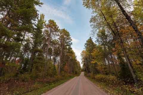 Easy · 2/10
Echo Trail (County Road 116)
Ely to Buyck, St. Louis County, Minnesota
36 mi · Any high-clearance or AWD vehicle in dry conditions
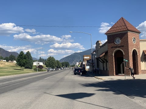 Easy · 3/10
Eddy Peak Road
Thompson Falls, Montana
11 mi · High-clearance 4x4 recommended
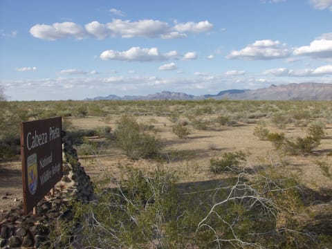 Moderate · 4/10
El Camino del Diablo
Ajo / Yuma, Arizona
131 mi · High-clearance 4WD required; groups of 4 vehicles max; no trailers
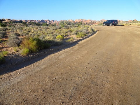 Extreme · 8/10
Elephant Hill
Canyonlands — Needles, Utah
6.5 mi · Built 4×4 — lockers, armor, short wheelbase helps
 Easy · 3/10
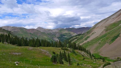
Elk City Wagon Road
Harpster / Elk City, Idaho County, Idaho
53 mi · High-clearance vehicle strongly recommended; no RVs
 Moderate · 4/10
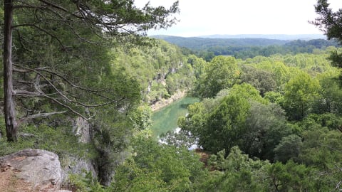
Engineer Pass
Ouray / Lake City, Colorado
30 mi · High-clearance 4×4 with low range (the Ouray side is the rough part)
 Easy · 3/10
Erbie Road (Erbie Campground Road)
Jasper / Harrison, Newton County, Arkansas
7 mi · High-clearance vehicle; 4WD recommended by NPS for the rough road and Buffalo River ford
 Moderate · 5/10
Eselbank Pass (Kerskop Pass)
Cederberg, Western Cape, South Africa
24.6 mi · 4x4 with low range and good clearance; not for normal cars
 Moderate · 4/10
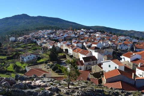
Estradão da Santinha (Folgosinho to N232)
Serra da Estrela, Guarda district, Portugal
9.3 mi · High-clearance 4x4 with low range
 Moderate · 5/10
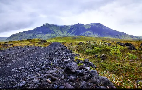
F210 Fjallabaksleið syðri (Keldur to Búland)
Fjallabak, Southern Highlands (Suðurland), Iceland
70 mi · High-clearance 4x4 (legally required on F-roads); a modified or larger jeep is better for the Hólmsá and Kaldaklofskvísl fords
 Difficult · 6/10
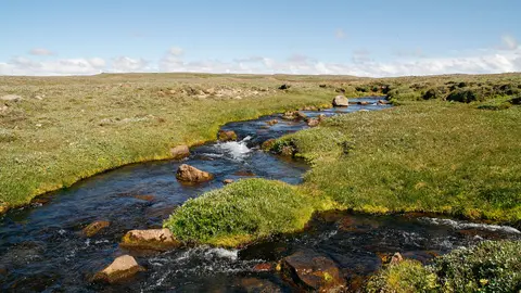
F578 Arnarvatnsheiði (Arnarvatnsvegur)
Arnarvatnsheiði, Western Highlands (Vesturland / Norðurland vestra), Iceland
49 mi · High-clearance 4x4 with good mud tyres; a modified jeep is better on the southern half
 Moderate · 5/10
F910 Austurleið (Askja to Fljótsdalur via Kárahnjúkar)
Northeast Highlands (Ódáðahraun to Fljótsdalur), Austurland, Iceland
105 mi · High-clearance 4x4 (legally required on F-roads); not low-clearance crossovers
 Easy · 2/10
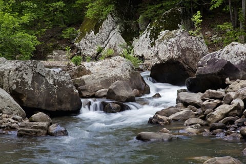
Falling Water Road (FR 1205)
Ben Hur / Witts Springs, Pope & Searcy Counties, Arkansas
10 mi · High-clearance vehicle recommended; no trailers
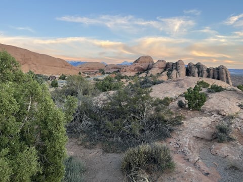 Moderate · 5/10
Fins N' Things
Moab — Sand Flats, Utah
6.4 mi · High-clearance 4×4; 33" tires help
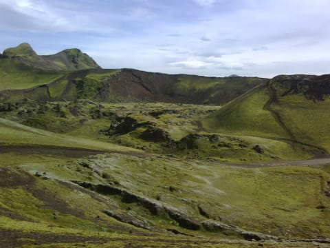 Moderate · 5/10
Fjallabaksleið nyrðri (F208)
Landmannalaugar, Iceland
48 mi · 4×4 with high clearance; experience with river fords
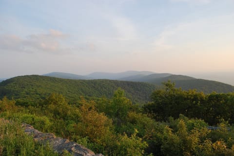 Moderate · 4/10
Flagpole Knob via Forest Road 85
Briery Branch / west of Harrisonburg, Virginia
3.6 mi · High-clearance 4x4. Ruts and rock get much worse in mud and snow.
 Extreme · 9/10
Fordyce Creek Trail
Tahoe National Forest, California
12 mi · Built 4×4 — lockers, 35"+ tires, winch
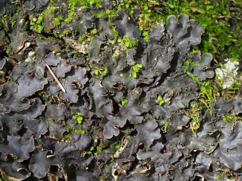 Easy · 1/10
Forest Road 500: Heflin to Coleman Lake
Heflin / Choccolocco Mountain, Alabama
15 mi · Any car or SUV in dry weather; high clearance helps after rain
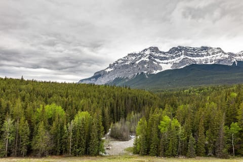 Easy · 2/10
Forest Service Road 42 to Springer Mountain
Suches / Dahlonega (Blue Ridge WMA), Georgia
15 mi · Any high-clearance car, SUV or pickup in dry weather; 4WD helpful after heavy rain
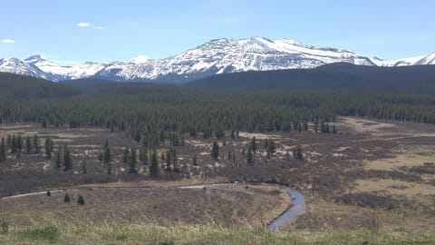 Easy · 2/10
Forestry Trunk Road
Alberta Rockies foothills, Canada
79 mi · Most vehicles; high clearance helps
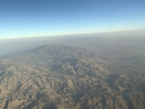 Easy · 3/10
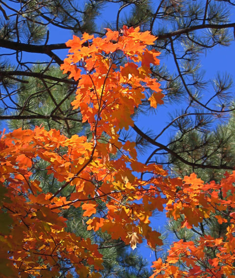
Four Peaks Road (FR 143)
Four Peaks / Mazatzal Mountains, northeast of Phoenix, Arizona
19 mi · High-clearance SUV or truck recommended; cars possible when dry
 Easy · 2/10
Fourth of July Canyon Road (FR 55)
Tajique / Manzano Mountains, New Mexico
7.3 mi · Most stock vehicles in dry weather; high clearance helps after rain
 Difficult · 7/10
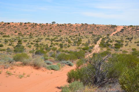
French Line (Simpson Desert)
Munga-Thirri–Simpson Desert, Australia
104 mi · Prepared 4×4 — sand flag, recovery gear, low tyre pressures
 Difficult · 7/10
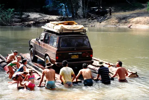
Frenchmans Track (Cape York)
Cape York Peninsula, Far North Queensland, Australia
55 mi · High-clearance 4WD with low range, snorkel and traction aids; no trailers
 Moderate · 4/10
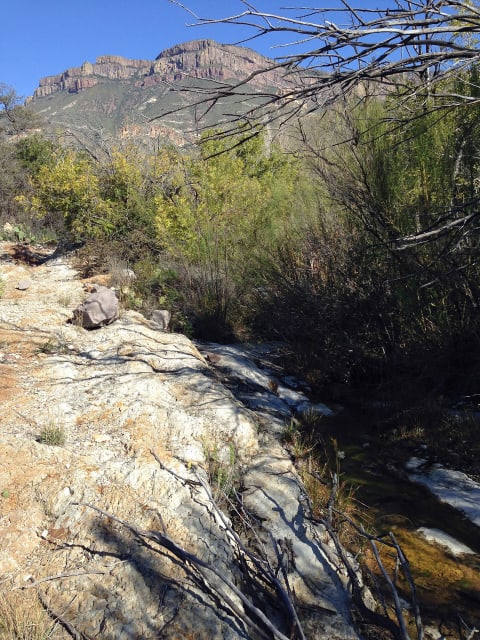
Fresno Canyon Road
Big Bend Ranch State Park, Texas
8 mi · Street-legal high-clearance 4WD (no side-by-sides)
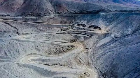 Easy · 3/10
Gamkaskloof Road to Die Hel
Swartberg Nature Reserve, near Prince Albert, Western Cape, South Africa
23 mi · Sedans make it in dry weather, but a bakkie or SUV with good tyres is much safer. Use low range on the Elands Pass descent.
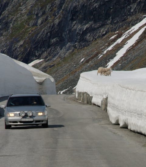 Easy · 2/10
Gamle Strynefjellsvegen
Stryn / Grotli, Norway
6.2 mi · Most vehicles; narrow gravel
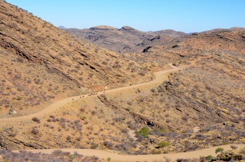 Easy · 3/10
Gamsberg Pass (C26 Windhoek to the Namib)
Khomas Region (Khomas Highland to the Namib edge), Namibia
80 mi · High-clearance 4x4 recommended; SUV acceptable in dry conditions
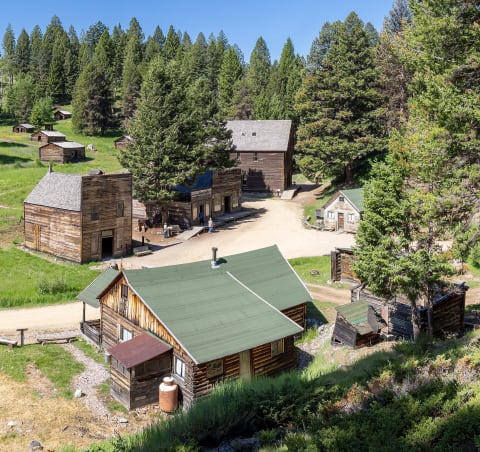 Easy · 2/10
Garnet Range Road (Garnet Back Country Byway)
Missoula / Drummond, Montana
12 mi · Passenger car or high-clearance vehicle on the main byway; high clearance for the side roads
 Easy · 3/10
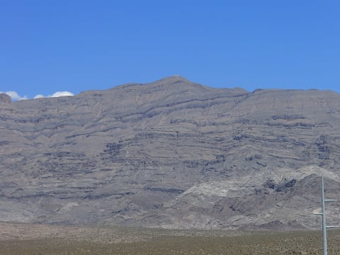
Gass Peak Road
Desert National Wildlife Refuge, Las Vegas Range, Clark County, Nevada
8.6 mi · High-clearance SUV or 4x4
 Easy · 3/10
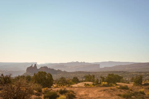
Gemini Bridges
Moab, Utah
13 mi · High-clearance vehicle; 4×4 recommended
 Easy · 3/10
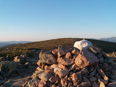
Georgia Pass
Jefferson / Breckenridge, Colorado
10.4 mi · High-clearance SUV; 4WD recommended for the north side
 Moderate · 4/10
Gibb River Road
The Kimberley, Western Australia, Australia
380 mi · High-clearance 4×4; two spare tyres
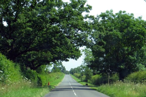 Easy · 3/10
Gibbons Pass Road (Bitterroot–Big Hole Road, FR 106)
Sula / Lost Trail Pass, Montana
16.5 mi · High-clearance vehicle under 25 ft; no trailers
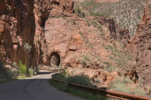 Easy · 3/10
Gilman Tunnels & Guadalupe Box (FR 376)
Jemez Mountains, Santa Fe National Forest, New Mexico
18 mi · High-clearance SUV or truck
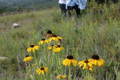 Easy · 2/10
Glade Top Trail (FS 147)
Ava / Longrun, Ozark & Taney Counties, Missouri
23 mi · Any high-clearance vehicle; a careful passenger car can manage in dry weather
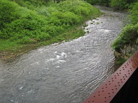 Easy · 1/10
Glady to Durbin Road (FR 44)
Monongahela National Forest, Greenbrier Ranger District, West Virginia
20 mi · Any high-clearance vehicle; graded gravel
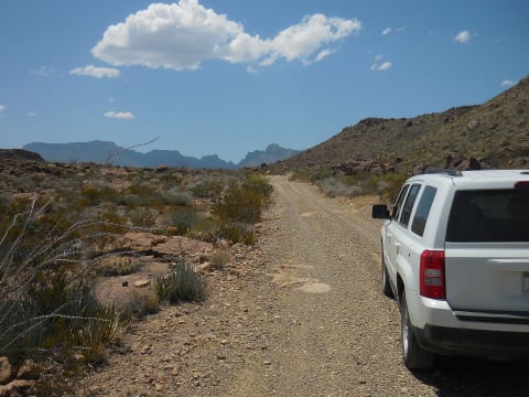 Moderate · 4/10
Glenn Springs Road
Big Bend National Park, Brewster County, West Texas, Texas
16 mi · High-clearance vehicle required; 4WD needed after heavy rain. Not maintained for passenger cars; OHVs/ATVs not allowed
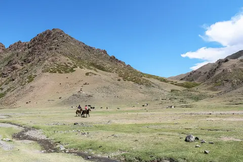 Moderate · 4/10
Gobi Gurvansaikhan Track (Dalanzadgad – Yolyn Am – Khongoryn Els)
Gobi Gurvansaikhan National Park, Ömnögovi Province, Mongolia
140 mi · 4x4 with good clearance and sand experience, or hire a local Land Cruiser or UAZ with a driver
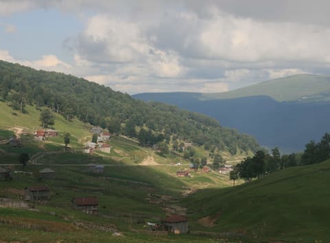 Easy · 3/10
Goderdzi Pass (Khulo–Akhaltsikhe)
Adjara – Samtskhe-Javakheti, Georgia
49 mi · High-clearance 4WD strongly recommended
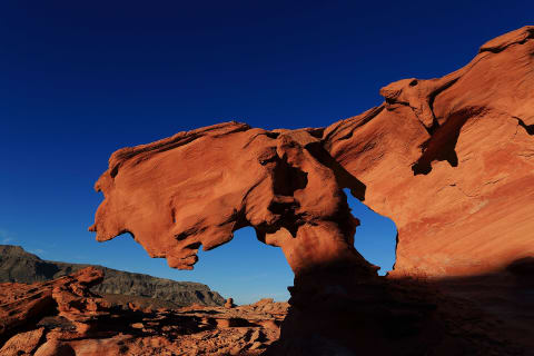 Easy · 2/10
Gold Butte Backcountry Byway
Gold Butte National Monument, Nevada
38 mi · High-clearance vehicle; 4×4 for side roads
 Easy · 2/10
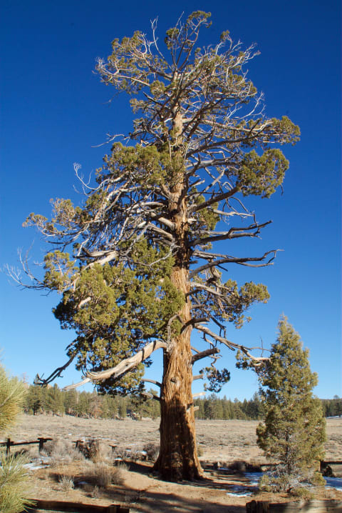
Gold Fever Trail (Holcomb Valley 3N16)
Big Bear / San Bernardino Mountains, California
11.5 mi · High-clearance SUV or truck; 4WD helpful when wet or rutted
 Extreme · 8/10
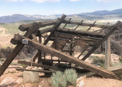
Gold Mountain
Big Bear, California
4.5 mi · Built 4×4 — lockers, 35"+ tires
 Easy · 2/10
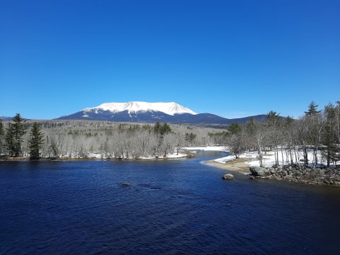
Golden Road
Millinocket / North Maine Woods, Maine
96 mi · High-clearance vehicle; two spare tires recommended
 Extreme · 8/10
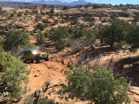
Golden Spike
Moab, Utah
6.6 mi · Built 4×4 — lockers, 35"+ tires, armor
 Moderate · 5/10
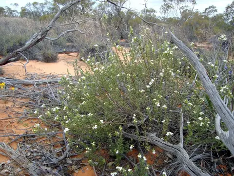
Googs Track (Ceduna to Malbooma)
Far West Coast, Eyre Peninsula / Outback South Australia, Australia
115 mi · High-clearance 4WD with low range and sand flag; trailers not recommended
 Moderate · 5/10
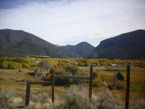
Goose Lake
Red River, New Mexico
6.8 mi · High-clearance 4×4 with low range
 Moderate · 5/10
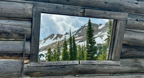
Goose Lake Jeep Trail (FS 3230)
Cooke City, Montana
8 mi · High-clearance 4x4 with low range; lockers and sliders helpful near the end
 Moderate · 5/10
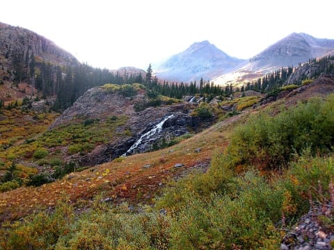
Governor Basin
Ouray, Colorado
2.9 mi · High-clearance 4×4 with low range
 Difficult · 6/10
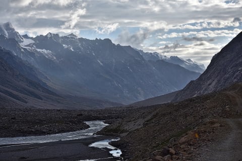
Gramphu–Batal Road & Chandra Taal
Lahaul, Lahaul and Spiti, Himachal Pradesh, India
29 mi · High-clearance 4x4 recommended; adventure motorcycles common.
 Easy · 2/10
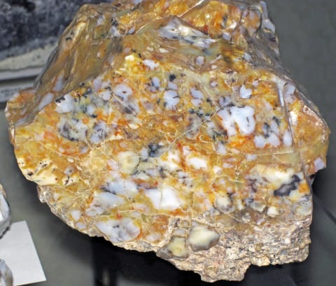
Granite Creek Road (Forest Road 30500)
Hoback Junction / Jackson, Wyoming
9 mi · High-clearance vehicle recommended; 4WD when wet or in spring and fall
 Easy · 3/10
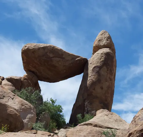
Grapevine Hills Road (Big Bend National Park)
Big Bend National Park, Brewster County, Texas
7.5 mi · Sturdy high-clearance vehicle to the trailhead; 4x4 beyond it and after rain
 Easy · 3/10
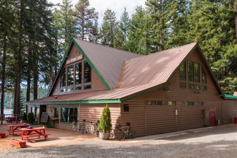
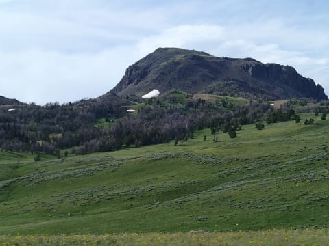
Grassy Lake Road (Ashton–Flagg Ranch Road)
Ashton, ID to Flagg Ranch, WY, Idaho
46 mi · High-clearance SUV or truck; 4WD helpful after rain
 Easy · 2/10
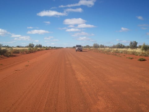
Gravelly Range Road
Ennis / Virginia City, Montana
45 mi · High-clearance vehicle
 Easy · 2/10
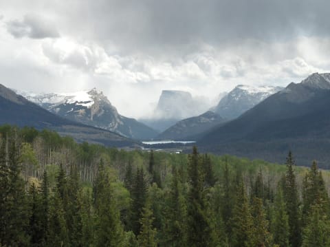
Great Central Road
Western Desert, Western Australia to Northern Territory, Australia
700 mi · High-clearance vehicle recommended; graded for 2WD and caravans when dry
 Easy · 2/10
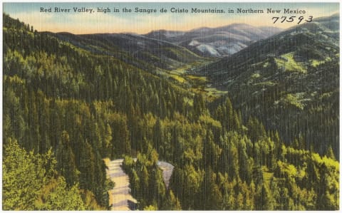
Green River Lakes Road
Pinedale / Cora, Wyoming
47 mi · Any high-clearance vehicle when dry; full-size rigs fine at slow speed
 Moderate · 4/10
Greenie Peak (FS 54K / 54D / 54)
Carson National Forest, Red River, New Mexico
6 mi · High-clearance 4x4
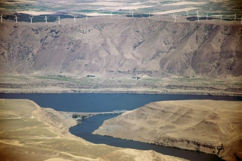 Easy · 2/10
Greys River Road (Forest Road 10138)
Alpine / Star Valley, Wyoming
35 mi · Any high-clearance vehicle; RVs manage the main road in good weather
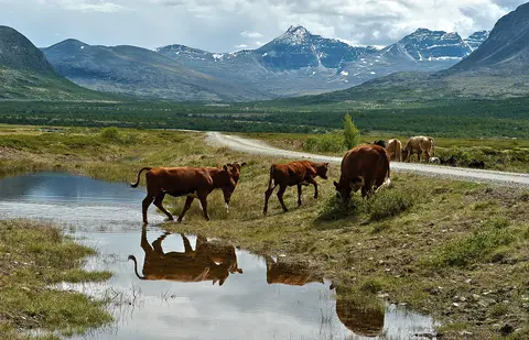 Easy · 2/10
Grimsdalsvegen (Dovre to Folldal)
Grimsdalen, Dovre / Folldal, Innlandet, Norway
24 mi · Graded gravel - any car driven with care; higher clearance more comfortable
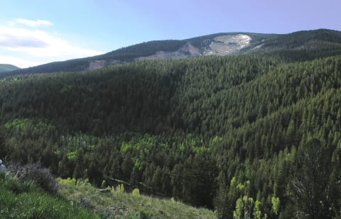 Easy · 2/10
Gros Ventre River Road (Forest Road 30400)
Kelly, Jackson Hole, Wyoming
13 mi · Any high-clearance vehicle; 4x4 helpful on rough upper sections
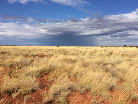 Moderate · 5/10
Gunbarrel Highway
Gibson Desert, Western Australia to Northern Territory, Australia
837 mi · Well-prepared high-clearance 4x4, ideally in convoy
 Moderate · 4/10
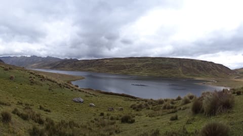
HU-110 Lauricocha Lakes Road
Lauricocha Province, Huánuco, Peru
27 mi · High-clearance 4x4 recommended
 Easy · 3/10
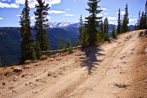
Hagerman Pass
Leadville / Basalt, Colorado
12 mi · High-clearance vehicle; 4×4 recommended
 Moderate · 5/10
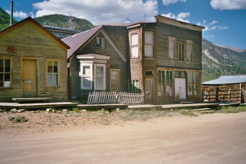
Hancock Pass
St. Elmo / Pitkin, Colorado
8.5 mi · High-clearance 4x4 with low range and skid plates; aggressive stock SUVs OK when dry
 Moderate · 4/10
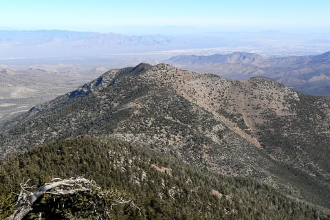
Harris Mountain Road
Spring Mountains National Recreation Area, Clark County, Nevada
5.7 mi · High-clearance vehicle with off-highway tires
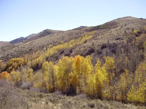 Easy · 2/10
Harrison Pass Road
Ruby Mountains, Elko County, Nevada
25 mi · High-clearance 2WD or any 4x4
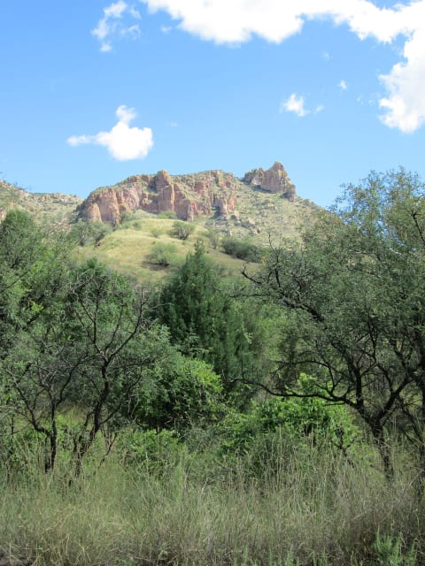 Easy · 2/10
Harshaw Road & Patagonia Mountains Ghost Towns
Patagonia, Arizona
10 mi · High-clearance SUV or truck; 4WD not needed in good weather
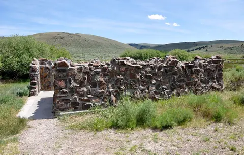 Easy · 2/10
Hart Mountain Hot Springs & Blue Sky Road
Hart Mountain, Lake County, Oregon
14 mi · High-clearance SUV or pickup; washboard dirt road
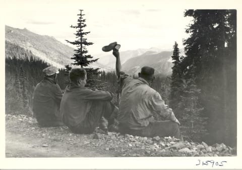 Easy · 3/10
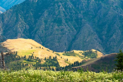
Harts Pass & Slate Peak Road (Forest Road 5400)
Mazama / upper Methow Valley, North Cascades, Washington
21 mi · High-clearance vehicle recommended; trailers prohibited past the West Fork Methow junction; motorhomes discouraged
 Easy · 2/10
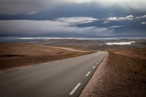
Hat Point Road (Hells Canyon)
Imnaha / Hells Canyon NRA, Wallowa County, northeast Oregon, Oregon
23 mi · High-clearance vehicle, 4x4 recommended; no RVs or trailers
 Easy · 2/10
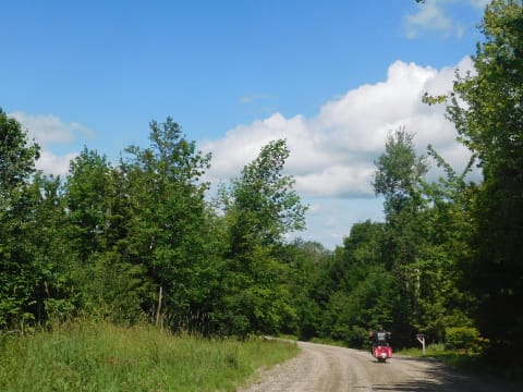
Haustsjøen Mountain Road (Grimsbu to Fv686)
Folldal / Alvdal, Innlandet, Norway
13.7 mi · Ordinary car OK on most of it; high clearance (4x4 recommended) for the rough stretch east of Reinslia
 Easy · 2/10
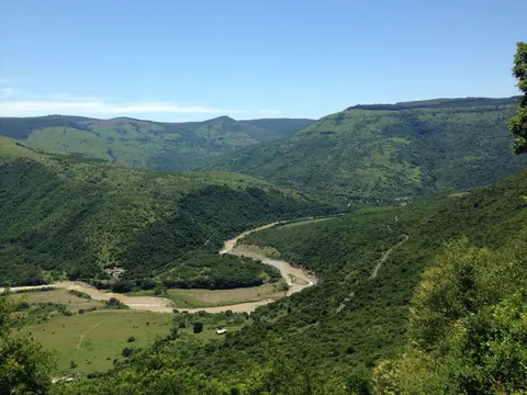
Hazen's Notch Road
Montgomery / Lowell, Vermont
4.7 mi · Most vehicles in dry weather
 Easy · 3/10
Hela Hela Pass (Richmond to Owambeni)
KwaZulu-Natal Midlands, west of Richmond, South Africa
29 mi · A high-clearance vehicle on dry gravel. Leave it alone when wet.
 Difficult · 7/10
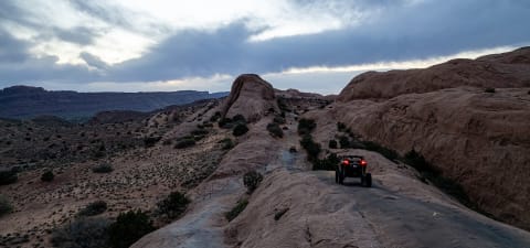
Hell's Revenge
Moab — Sand Flats, Utah
6.5 mi · Modified 4×4 — lifted, 33"+ tires; lockers recommended
 Moderate · 4/10
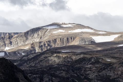
Hellroaring Plateau Road
Red Lodge / Beartooth Front, Montana
6.6 mi · High-clearance 4x4; short-wheelbase rigs preferred, full-size long-bed pickups and trailers not recommended
 Easy · 2/10
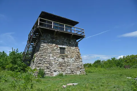
High Knob via Route 619
High Knob, Scott and Wise counties (near Norton), Virginia
21 mi · Any high-clearance 2WD or AWD vehicle in dry weather; 4WD advisable in wet or wintry conditions
 Moderate · 4/10
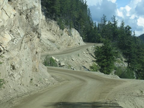
Highway 20 - The Hill (Freedom Road)
Chilcotin and Bella Coola Valley, British Columbia, Canada
87 mi · Any vehicle in good mechanical shape with sound brakes; use low gear on the descent; not suited to large trailers
 Easy · 2/10
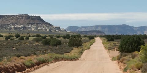
Hole-in-the-Rock Road
Escalante, Utah
56 mi · High-clearance vehicle; 4×4 for the last miles
 Extreme · 8/10
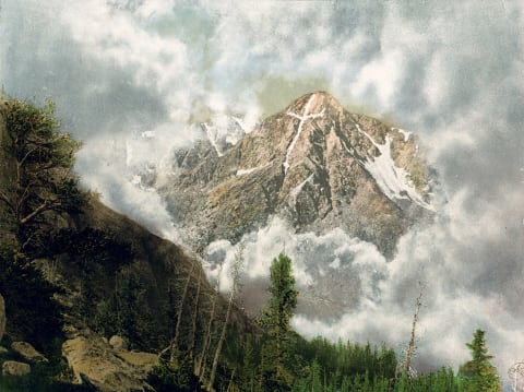
Holy Cross City
Minturn / Leadville, Colorado
3.9 mi · Built 4×4 — lockers, 35"+ tires, armor
 Difficult · 6/10
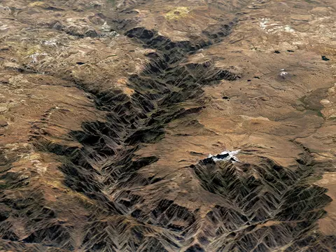
Huacullo to Cotahuasi via Abra Huarcaya
Cotahuasi Subbasin Landscape Reserve, La Unión, Arequipa Region, Peru
109 mi · Capable high-clearance 4x4, fully self-sufficient
 Easy · 3/10
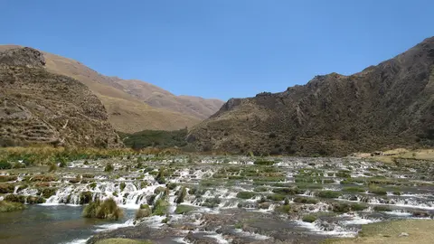
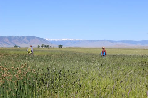
Huancaya to Vilca and Laguna Papacocha
Nor Yauyos-Cochas Landscape Reserve, Yauyos, Lima Region, Peru
11 mi · Any high-clearance vehicle in the dry season; 4x4 when wet
 Easy · 3/10
Hunt Mountain Road (Forest Road 10)
Lovell / Burgess Junction, northern Bighorns, Wyoming
22.6 mi · High-clearance 4x4 or SxS; 4WD needed when muddy or drifted
 Easy · 3/10
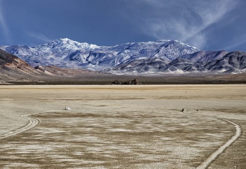
Hunter Mountain Road
Death Valley, California
25 mi · High-clearance vehicle; 4×4 recommended
 Easy · 3/10
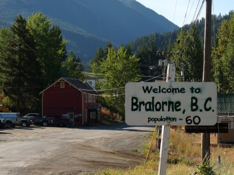
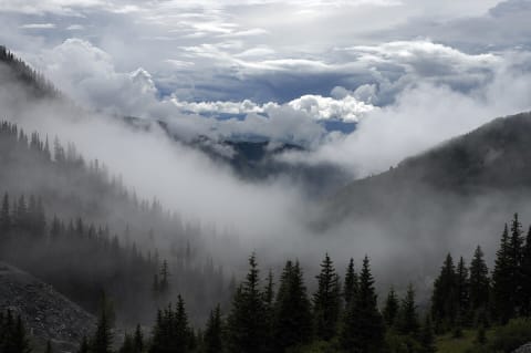
Hurley Forest Service Road
Pemberton / Gold Bridge, British Columbia, Canada
24 mi · High-clearance vehicle
 Moderate · 5/10
Imogene Pass
Ouray / Telluride, Colorado
17 mi · Stock high-clearance 4×4 with low range
 Easy · 2/10
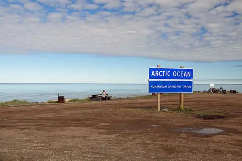
Inuvik–Tuktoyaktuk Highway (NWT Highway 10)
Inuvik Region, Northwest Territories, Canada
86 mi · Any well-prepared car or SUV in summer; high clearance and good tyres help on wet or rough gravel
 Moderate · 5/10
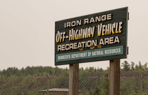
Iron Range OHV State Recreation Area - Overlook & Rock Crawls
Gilbert, St. Louis County, Minnesota
3 mi · Stock 4x4 for connector roads; built rigs with lockers for the rock crawls
 Moderate · 4/10
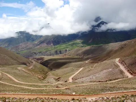
Iruya Road over Abra del Cóndor (RP133 / RP13)
Quebrada de Humahuaca / Iruya, Jujuy & Salta, Argentina
45 mi · High-clearance pickup or SUV; 4WD recommended after rain because of the river crossings
 Easy · 2/10
Jacks River Fields Road (FS 64): Watson Gap to Potato Patch
Cohutta Mountains / Blue Ridge, Georgia
13 mi · High-clearance SUV or pickup; RVs over 24 ft not recommended
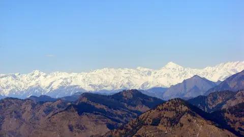 Easy · 2/10
Jalori Pass (NH305, Jibhi to Anni)
Kullu district (Banjar / Anni), Himachal Pradesh, India
27 mi · Any car with good brakes; hill-driving experience recommended
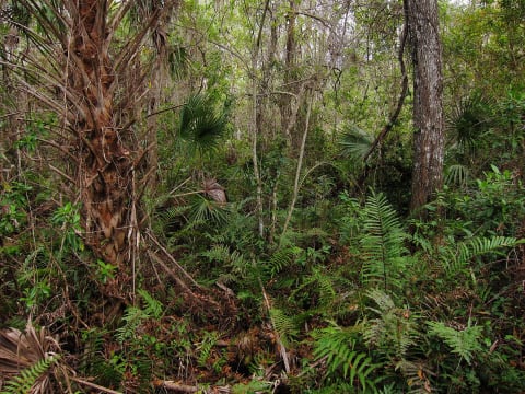 Easy · 1/10
Janes Memorial Scenic Drive
Fakahatchee Strand Preserve State Park, Florida
11 mi · Most vehicles in the dry season
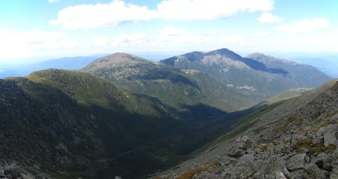 Easy · 2/10
Jefferson Notch Road
Jefferson / Bretton Woods, New Hampshire
8.4 mi · Most vehicles in dry weather; high clearance helps
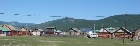 Difficult · 6/10
Jigleg Pass Road (Khövsgöl to Renchinlhümbe)
Khövsgöl Province, Mongolia
41 mi · High-clearance 4x4 suited to bog and wet ground
 Easy · 2/10
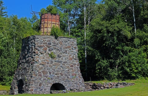
Jo-Mary Road
Millinocket / KI Jo-Mary, Maine
20 mi · High-clearance vehicle
 Easy · 1/10
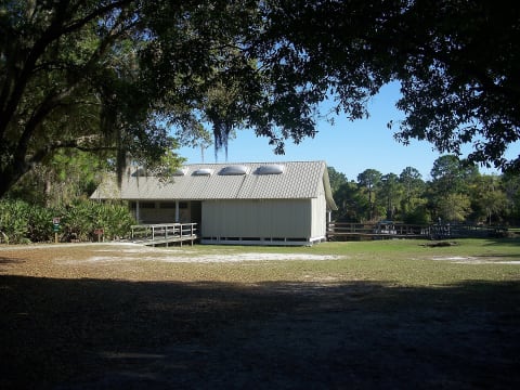
Joe Overstreet Road
Kenansville / Lake Kissimmee, Florida
5.5 mi · Any vehicle
 Difficult · 7/10
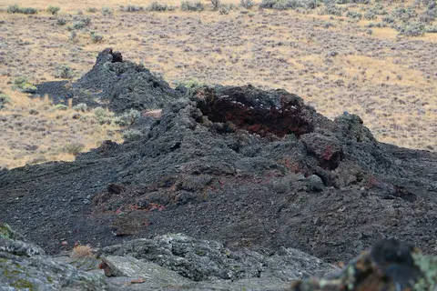
John Bull Trail
Big Bear, California
5.6 mi · Modified 4×4 — lockers and 33"+ tires
 Easy · 3/10
Jordan Craters Road (Coffeepot Crater)
Jordan Valley, Malheur County, Oregon
33 mi · High-clearance 4x4; rocky, rutted dirt in the final miles
 Easy · 1/10
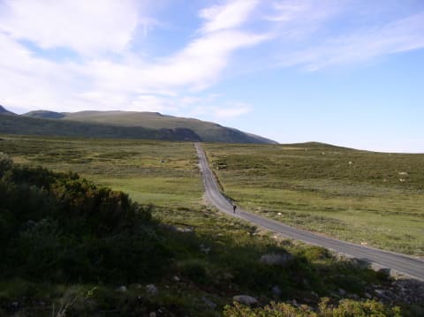
Jotunheimvegen (Bygdin–Skåbu)
Jotunheimen / Valdres–Gudbrandsdalen, Innlandet, Norway
28 mi · Any car; well-maintained gravel
 Easy · 3/10
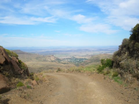
Joubert's Pass (Lady Grey)
Witteberg, Senqu (Joe Gqabi District), Eastern Cape Highlands, South Africa
32 mi · High-clearance car or SUV in dry weather; 4x4 in rain, snow or ice
 Moderate · 4/10
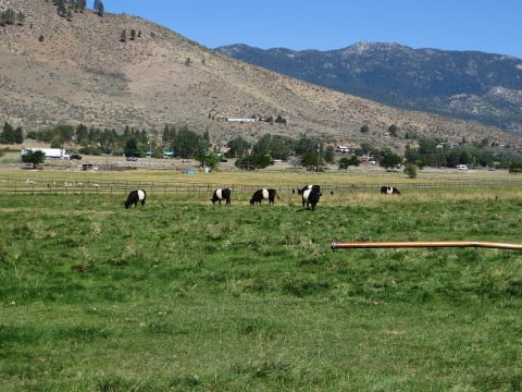
Jumbo Grade
Washoe Valley / Virginia City, Nevada
8 mi · High-clearance 4x4 (31-inch tires adequate); popular with OHVs
 Easy · 3/10
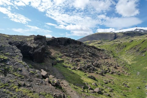
Jökulháls (Route 570)
Snæfellsnes Peninsula, Iceland
11.4 mi · High-clearance 4x4
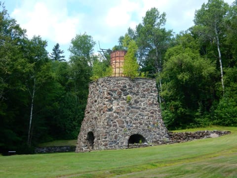 Easy · 2/10
KI Road
Brownville Junction / KI Jo-Mary, Maine
24 mi · High-clearance vehicle
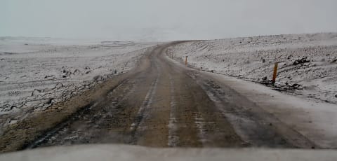 Easy · 2/10
Kaldidalur (Route 550)
Western Highlands, Iceland
25 mi · 4x4 or high-clearance SUV strongly recommended, though not legally required. Many rental companies ban 2WD cars here.
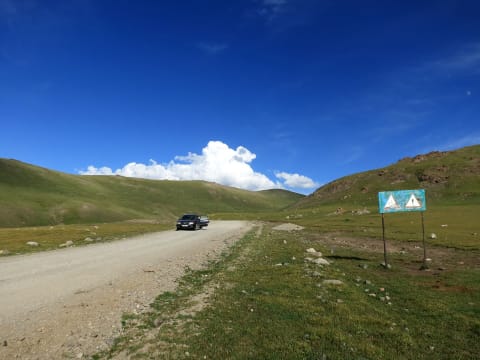 Easy · 3/10
Kalmak-Ashuu Pass Road to Song-Köl
Naryn Region, Kyrgyzstan
56 mi · High-clearance 4x4 (local guides advise 4WD only)
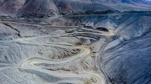
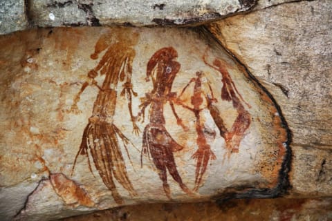 Moderate · 5/10
Kalumburu Road
North Kimberley, Western Australia, Australia
166 mi · High-clearance 4WD only (north of Port Warrender Rd the Shire limits vehicles to 5 t)
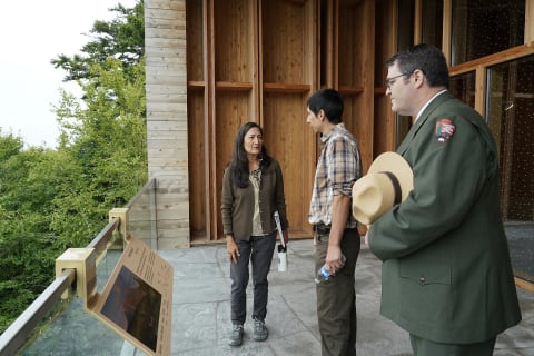
 Moderate · 4/10
Kao Mine Road (Letšeng turn-off to Ha Lejone)
Butha-Buthe / Leribe districts, northern Lesotho highlands, Lesotho
37 mi · High-clearance vehicle; 4x4 needed in rain or snow and on the unmaintained western section.
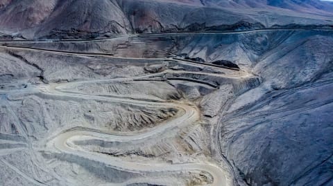
 Easy · 2/10
Katahdin Loop Road
Katahdin Woods and Waters National Monument, Maine
9.6 mi · High-clearance vehicle recommended
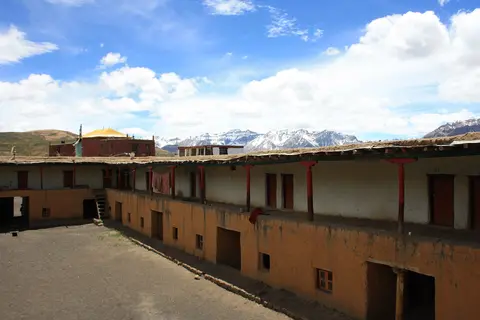
 Moderate · 5/10
Kazarman Road over Kaldama Pass
Jalal-Abad Region, Kyrgyzstan
66 mi · High-clearance 4WD
 Easy · 3/10
Kaza–Hikkim–Komic–Langza Loop
Spiti Valley, Lahaul and Spiti, Himachal Pradesh, India
27 mi · Any high-clearance car in summer; 4x4 for snow or the rough Komic–Demul extension
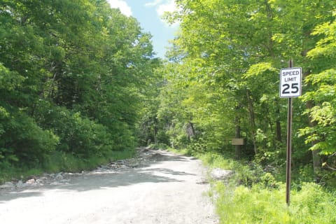 Easy · 2/10
Kelley Stand Road
Arlington / Stratton, Vermont
6.7 mi · Most vehicles in dry weather; high clearance helps
 Easy · 3/10
Kendall Skyline Road to Table Rock
Dayton / Blue Mountains, Columbia County, Washington
30 mi · High-clearance vehicle on the skyline road; high-clearance 4x4 for the Table Rock spur
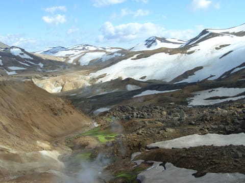 Moderate · 4/10
Kerlingarfjallavegur (F347)
Kjölur, Central Highlands, Iceland
10 mi · 4x4 required by law on F-roads; high clearance for the rocky upper section to Hveradalir
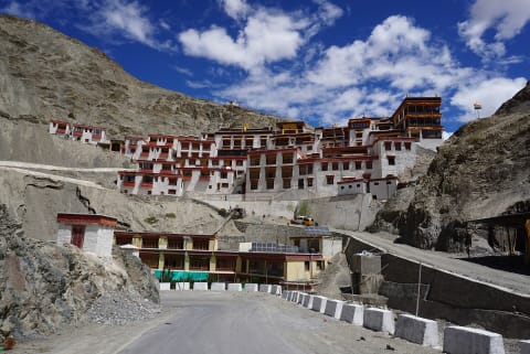 Moderate · 5/10
Kharbu La (Shashila Road)
Kargil district, Ladakh, India
22 mi · High-clearance 4x4
 Moderate · 5/10
Khaudum National Park Traverse (Tsumkwe to Divundu)
Kavango East / Otjozondjupa, Namibia
190 mi · 4x4 with low range only, minimum two vehicles; no trailers or caravans
 Moderate · 5/10
Khwai to Savuti and Linyanti
North-West District (Chobe National Park), Botswana
80 mi · High-clearance 4x4 with low range; deflate tyres for sand; snorkel advised in flood season
 Moderate · 4/10
Killpecker Sand Dunes Open Play Area
Rock Springs / Eden, Wyoming
4WD with aired-down tires, sand rails, UTVs, ATVs and dirt bikes; high clearance for the Boar's Tusk spur
 Easy · 3/10
Kingston Canyon Road
Toiyabe Range, Lander County, Nevada
12.8 mi · High-clearance SUV or 4x4
 Moderate · 4/10
Kirwin Ghost Town Road (Wood River / FR 200)
Meeteetse, Wyoming
11 mi · High-clearance 4x4; full-size rigs fine, depth of water crossings varies
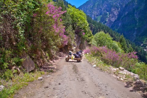 Difficult · 6/10
Kishtwar–Killar Road (Cliffhanger)
Kishtwar district (J&K) to Pangi, Himachal Pradesh, India
71 mi · High-clearance 4x4 with low range and an experienced driver
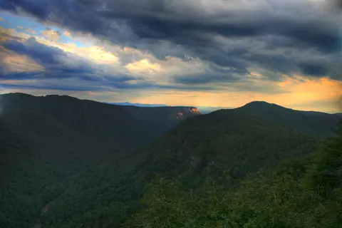 Easy · 3/10
Kistler Memorial Highway (Old NC 105)
Linville Gorge, Burke County (Linville Falls to Lake James), North Carolina
4 mi · High-clearance vehicle recommended; 4WD helps on the steep, rutted hill past the information cabin. Not suited to trailers or large RVs.
 Easy · 3/10
Kjölur (F35)
Central Highlands, Iceland
97 mi · 4×4 required by rental rules; high clearance recommended
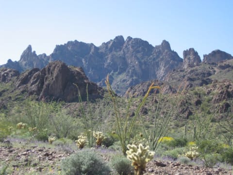 Moderate · 4/10
Kofa Queen Canyon
Quartzsite / Kofa NWR, Arizona
9 mi · High-clearance 4x4 recommended; sand and wash boulders; no trailers advised
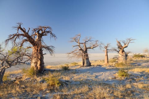 Easy · 3/10
Kubu Island (Lekhubu) via Mmatshumo
Central District (Makgadikgadi / Sua Pan), Botswana
47 mi · High-clearance 4x4 recommended (sand and pan surface)
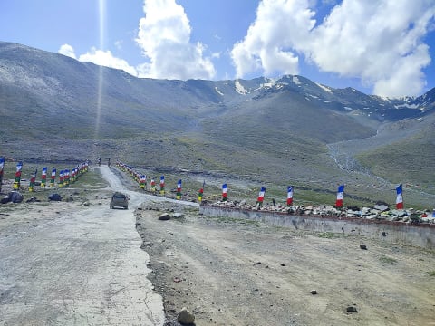 Moderate · 4/10
Kunzum La (Batal to Losar)
Lahaul and Spiti, Himachal Pradesh, India
19 mi · High-clearance SUV (2WD or 4WD); 4x4 helps at the fords
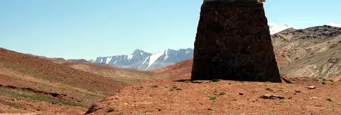 Moderate · 4/10
Kyzyl-Art Pass on the Pamir Highway (Sary-Tash to Karakul)
Alay Valley (Osh Region, KG) to Murghob District, Gorno-Badakhshan (TJ), Tajikistan
61 mi · High-clearance SUV or 4x4; carry vehicle papers for both border posts
 Moderate · 4/10
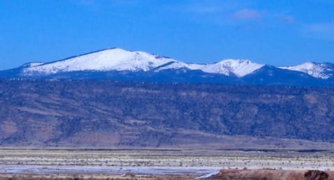
LM-108: Huaral to Trapiche
Huaral & Lima provinces, Lima Region, Peru
33 mi · High-clearance 4x4; not for normal cars
 Easy · 3/10
La Mosca Lookout Road (FR 453)
Grants / Mount Taylor, New Mexico
5.5 mi · High-clearance SUV or truck; 2WD reaches most of it when dry
 Easy · 3/10
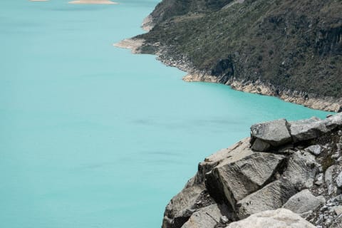
Laguna Parón Road (Caraz to Laguna Parón)
Caraz, Huaylas Province, Áncash, Peru
19 mi · High-clearance vehicle; 2WD vans manage in the dry season, but a 4x4 is more comfortable
 Moderate · 4/10
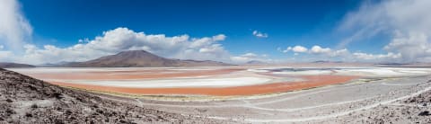
Lagunas Route (Uyuni to Laguna Verde)
Potosí Department, Nor Lípez and Sur Lípez (Altiplano), Bolivia
250 mi · High-clearance 4x4 with extra fuel and spare tyres; most travellers go with a licensed Uyuni tour operator
 Moderate · 5/10
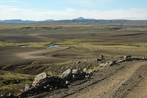
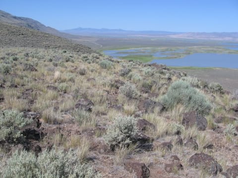
Lakagígar Road (F206)
Southern Highlands, Iceland
28 mi · Large high-clearance 4x4. F-road, so 4x4 is legally required.
 Easy · 2/10
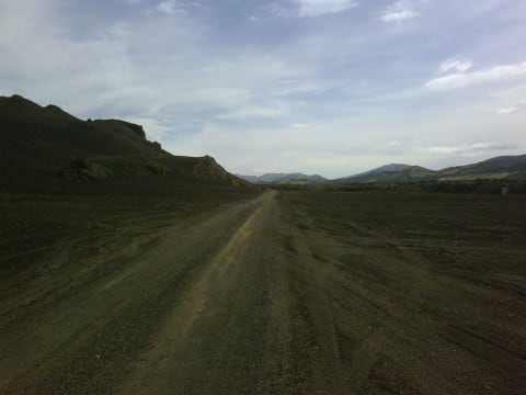
Lakeview to Steens Back Country Byway
Lakeview – Plush – Hart Mountain – Frenchglen, Lake and Harney counties, Oregon
90 mi · Passenger car OK on the main gravel in dry weather; high clearance for refuge side roads
 Moderate · 4/10
Landmannaleið (F225)
Southern Highlands, Iceland
25.5 mi · High-clearance 4x4. F-road, so 4x4 is legally required.
 Moderate · 4/10
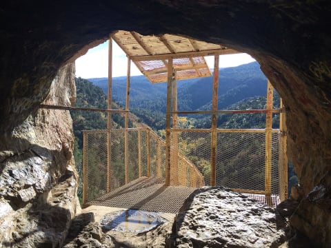
Las Burras Road (Big Bend Ranch State Park)
Big Bend Ranch State Park, Presidio County, Texas
5 mi · Street-legal high-clearance 4x4 with low range and Load Range E tires; no side-by-sides or dirt bikes
 Easy · 3/10
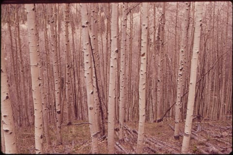
Las Huertas Canyon Road (NM 165)
Placitas / Sandia Mountains, New Mexico
10 mi · High-clearance SUV or truck; 4WD helps on the rough upper section
 Easy · 2/10
Last Dollar Road
Telluride / Ridgway, Colorado
20 mi · High-clearance vehicle; 4×4 when wet
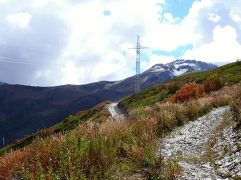 Moderate · 5/10
Latpari Pass (Davberi to Chvelpi)
Svaneti (Mestia and Lentekhi municipalities), Georgia
13.3 mi · High-clearance 4x4; a short-wheelbase vehicle copes best with the switchbacks
 Moderate · 5/10
Lead King Basin Loop
Marble / Crystal, Colorado
13 mi · Short-wheelbase high-clearance 4x4 recommended; stock 4x4 SUVs OK when dry with an experienced driver
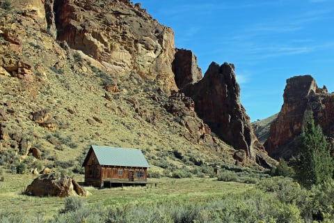 Easy · 2/10
Leslie Gulch Road
Owyhee Uplands near Jordan Valley, Malheur County, southeast Oregon, Oregon
15 mi · High-clearance vehicle recommended; large RVs not recommended
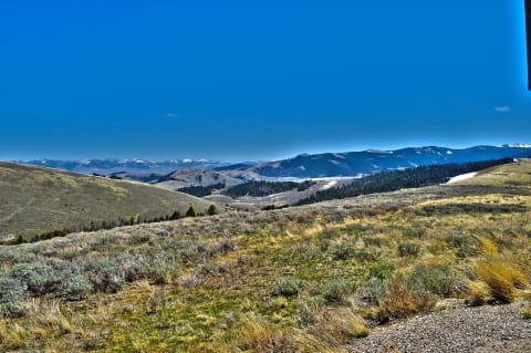 Easy · 2/10
Lewis and Clark Back Country Byway
Tendoy / Lemhi Valley, south of Salmon, Idaho
36 mi · Passenger vehicle with good tires in dry weather; high clearance better; no RVs or trailers
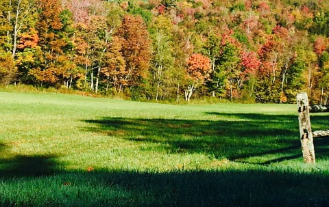 Easy · 2/10
Lincoln Gap Road
Lincoln / Warren, Vermont
7.6 mi · Most vehicles when open; not for trailers or RVs
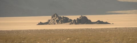 Moderate · 5/10
Lippincott Road
Death Valley, California
8.2 mi · High-clearance 4×4 with low range
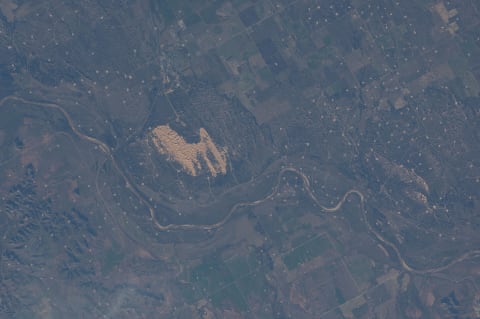 Moderate · 4/10
Little Sahara State Park Dunes
Waynoka / Woods County, Oklahoma
10 mi · ATV, UTV, dune buggy or 4x4 with roll bar and seat belts; aired-down tires
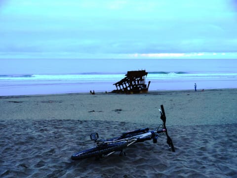 Easy · 3/10
Little Shepherd Trail (KY 1679)
Harlan / Cumberland / Whitesburg, Kentucky
38 mi · High-clearance 4x4 recommended on gravel sections; licensed vehicles only, no ATVs
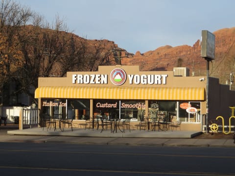 Difficult · 6/10
Lockhart Basin Road
Moab / Indian Creek, Utah
37 mi · High-clearance 4WD with low range; lockers, skid plates and a winch recommended for the northern section
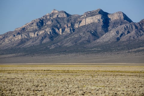 Easy · 3/10
Logan Canyon Road over Logan Pass
Basin and Range National Monument (Hiko / Alamo), Nevada
15.4 mi · High-clearance 2WD in dry conditions; 4WD preferred for the steep east side of Logan Pass and washouts
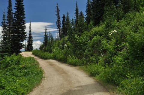 Moderate · 4/10
Lolo Motorway (Forest Road 500)
Powell / Kamiah, north-central Idaho, Idaho
93 mi · High-clearance 4x4 or SUV; RVs and trailers not recommended
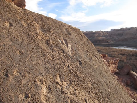 Easy · 3/10
Long Canyon
Moab — Potash Road, Utah
7.5 mi · High-clearance 4×4
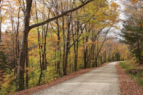 Easy · 2/10
Long Pond Road
Benton / North Woodstock, New Hampshire
7.2 mi · Most vehicles in dry weather; high clearance helps
 Easy · 3/10
Loon Creek Road
Stanley / Sunbeam, Yankee Fork, Idaho
High-clearance 4x4 or SUV
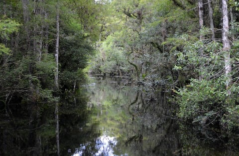 Easy · 1/10
Loop Road
Big Cypress National Preserve, Florida
24 mi · Most vehicles in the dry season; high clearance helps
 Moderate · 5/10
Lord Flat Trail (Warnock Corral to Lord Flat)
Hat Point / Hells Canyon, Wallowa County, Oregon
15 mi · Stock high-clearance 4x4 with low range; slow, rutted two-track
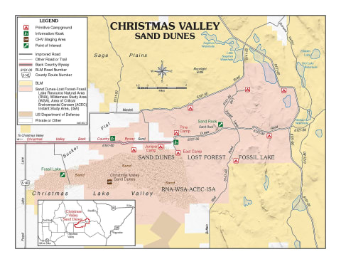 Easy · 3/10
Lost Forest & Christmas Valley Sand Dunes
Christmas Valley, Oregon
23 mi · High-clearance 4x4 recommended, especially in spring mud
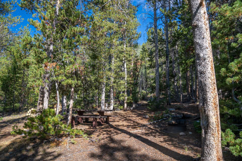 Easy · 2/10
Louis Lake Road (The Loop Road)
Lander / South Pass, Wyoming
25 mi · Any vehicle in dry conditions; high clearance more comfortable on washboard; no trailers over 24 ft
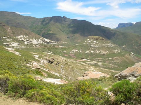 Moderate · 4/10
Lundean's Nek Pass
Wartrail-Barkly East, Eastern Cape, South Africa
9 mi · 4x4 recommended; high-clearance 4x2 only in fair weather, not for sedans
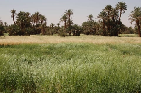 Moderate · 5/10
M'Hamid to Foum Zguid via Erg Chigaga and Lake Iriki
Draa Valley / Lower Draa, Drâa-Tafilalet & Souss-Massa, Morocco
100 mi · High-clearance 4x4 with low range and good sand tyres; travel with two vehicles if possible
 Easy · 1/10
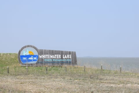
MN Highway 74 Gravel Section (Whitewater WMA)
Elba / Weaver, Winona and Wabasha counties, Minnesota
11 mi · Any vehicle in dry weather; graded gravel
 Difficult · 6/10
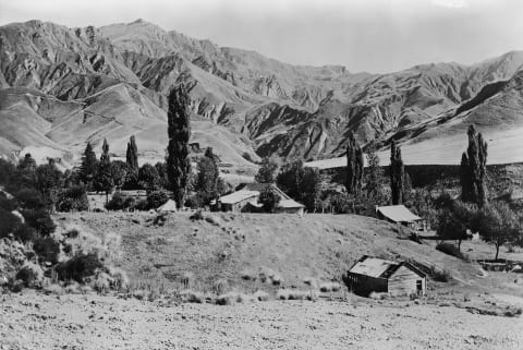
Macetown Road
Queenstown Lakes, New Zealand
9.3 mi · Capable 4WD with off-road tyres and a snorkel; experienced drivers only
 Easy · 3/10
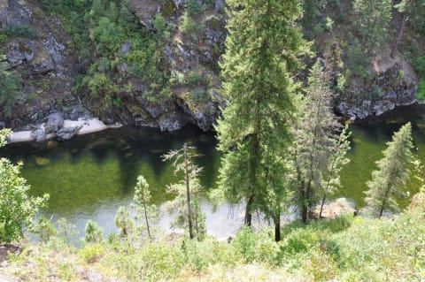
Magruder Corridor
Bitterroot / Nez Perce national forests, Idaho
78 mi · High-clearance vehicle; 4×4 recommended
 Easy · 3/10
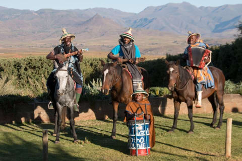
Malealea to Makhaleng River Gravel Route
Malealea, Mafeteng District, Lesotho
15 mi · 4x4 recommended; low range useful on steep grade changes
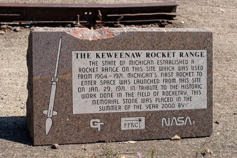 Easy · 3/10
Mandan Road to High Rock Bay
Copper Harbor / Keweenaw Peninsula, Michigan
7.7 mi · High-clearance 4x4; not for small cars, especially after storms
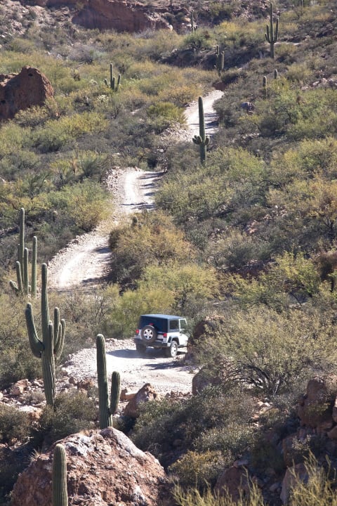 Difficult · 7/10
Martinez Canyon (East)
Florence / Gila River, Arizona
3.1 mi · Modified 4×4 — lockers and 33"+ tires
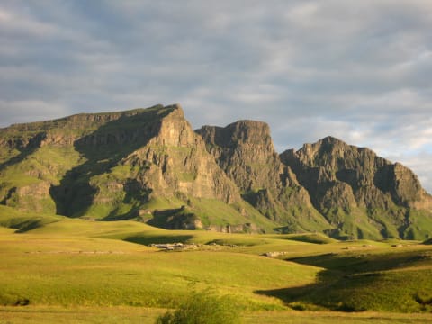 Moderate · 5/10
Matebeng Pass (A4 from Sehlabathebe)
Qacha's Nek District, Lesotho
15 mi · High-clearance 4x4 with low range; all-terrain tyres
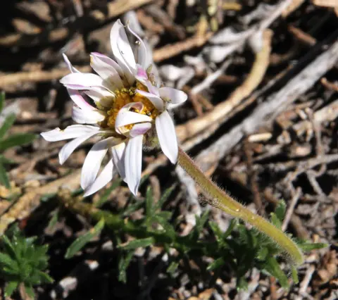 Difficult · 6/10
Matroosberg 4x4 Trail
Hex River Mountains, near Ceres, Western Cape, South Africa
9 mi · A high-clearance 4x4 with low range. Rocky ledges and steep loose climbs are harder than they look.
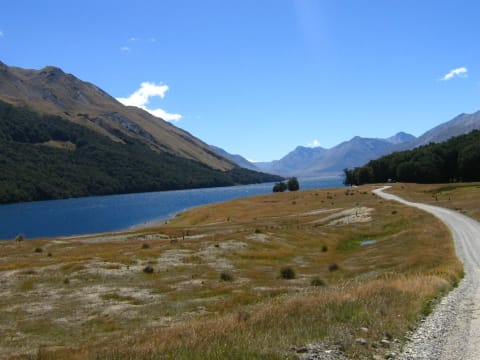 Easy · 3/10
Mavora Lakes Road
Mavora Lakes Conservation Park, Southland, New Zealand
43 mi · Any car with reasonable clearance to the campsite; 4WD for the North Mavora track to Careys Hut
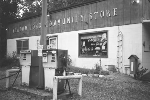 Easy · 1/10
Max Patch Road via Lemon Gap
Hot Springs / Madison–Haywood County line, North Carolina
Any high-clearance vehicle; graded gravel
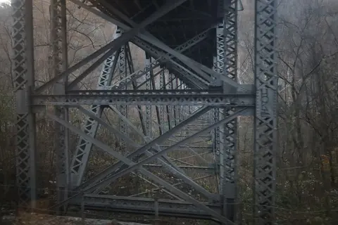 Moderate · 4/10
McKendree Road (Thurmond to Prince)
New River Gorge National Park and Preserve, West Virginia
13 mi · High-clearance 4WD SUV or pickup; no trailers or RVs
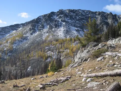 Easy · 2/10
Meadows–Toats Road (FR 39) via Tiffany Springs
Conconully / Tiffany Mountain, Okanogan County, Washington
32 mi · High-clearance vehicle recommended; not suited to trailers
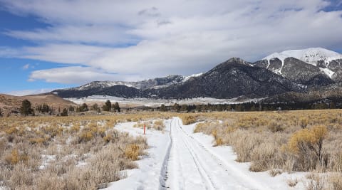 Moderate · 4/10
Medano Pass
Great Sand Dunes, Colorado
16 mi · High-clearance 4×4; air down for the sand
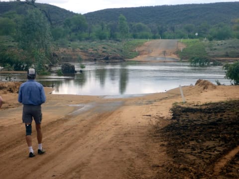 Easy · 3/10
Mereenie Loop
Red Centre, Northern Territory, Australia
122 mi · High-clearance 4WD recommended; off-road AWD acceptable when dry; off-road trailers only
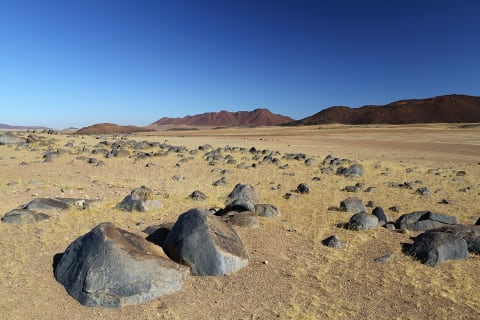 Moderate · 4/10
Messum Crater Track (Uis to Henties Bay)
Erongo (Dorob National Park), Namibia
125 mi · 4x4 with low range; GPS track recommended
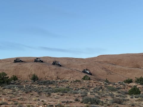 Extreme · 8/10
Metal Masher
Moab, Utah
12 mi · Built 4×4 — lockers, 35"+ tires, armor
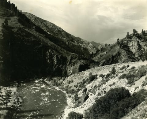 Easy · 2/10
Middle Fork Boise River Road to Atlanta
Boise to Atlanta, Idaho
Any high-clearance vehicle in dry weather; 2WD trucks manage
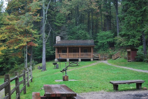 Easy · 2/10
Middle Mountain Road (Forest Road 14)
Wymer / Bartow, Randolph & Pocahontas counties, West Virginia
30 mi · Any high-clearance vehicle in dry weather; 4WD useful in mud or early/late-season snow
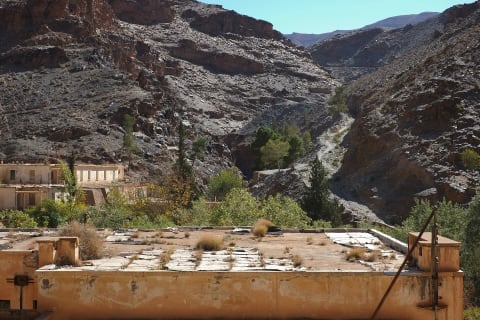 Easy · 3/10
Midelt to the Ahouli Mines (Moulouya Gorge)
Midelt Province, Drâa-Tafilalet (upper Moulouya), Morocco
16 mi · High-clearance vehicle; 4x4 recommended after rain
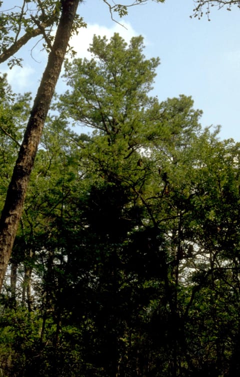 Easy · 3/10
Mill Creek Road (FR 1007 / FR 1509) & Mill Creek OHV Trail
Combs / Cass, Madison & Franklin counties, Arkansas
8 mi · High-clearance 4x4 on the forest roads; OHV loops are for motorcycles, ATVs and UTVs only (no Jeeps or SUVs)
 Moderate · 4/10
Millican Plateau OHV Area
Millican Valley between Bend and Prineville, Deschutes/Crook counties, Oregon
15 mi · ATV, UTV, dirt bike (Class I-III OHVs)
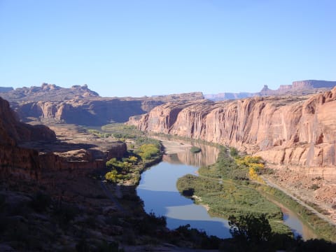 Difficult · 7/10
Moab Rim
Moab, Utah
3.8 mi · Modified 4×4 — lockers and 33"+ tires
 Easy · 2/10
Mogollon Rim Road (FR 300)
Mogollon Rim, north of Payson, Arizona
Passenger car in dry weather; SUV more comfortable
 Easy · 2/10
Mohale Dam Gravel Loop
Maseru District, central Lesotho highlands (Mohale reservoir), Lesotho
25 mi · High-clearance 2WD in good conditions; 4x4 advisable in wet weather.
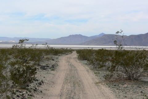 Easy · 3/10
Mojave Road
Mojave National Preserve, California
57 mi · High-clearance 4×4
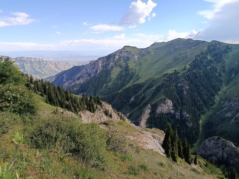 Easy · 3/10
Moldo-Ashuu Pass Road to Song-Köl
Naryn Region, Kyrgyzstan
28 mi · High-clearance 4x4 recommended
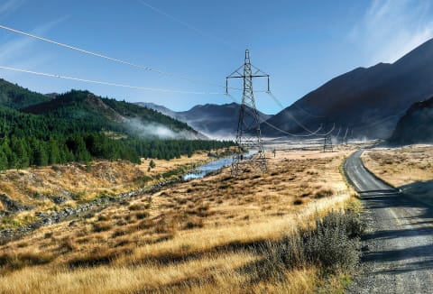 Easy · 2/10
Molesworth Road
Marlborough / Canterbury, New Zealand
14 mi · Most vehicles in dry weather; 4×4 not required
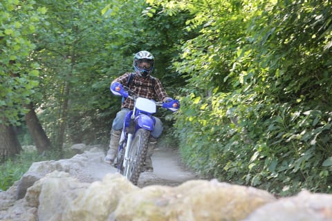 Moderate · 4/10
Monday Creek OHV Trail System
Nelsonville / Perry, Hocking and Athens counties, Ohio
30 mi · ATV or dirt bike up to 50 in wide (no full-size 4x4s or wide UTVs)
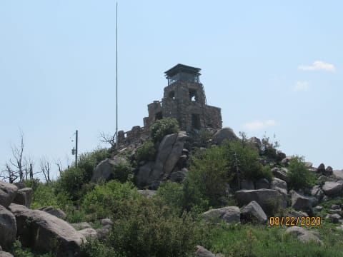 Easy · 2/10
Monjeau Lookout Road (FR 117)
Lincoln National Forest, Ruidoso, New Mexico
5.8 mi · Most vehicles when dry; high clearance helps
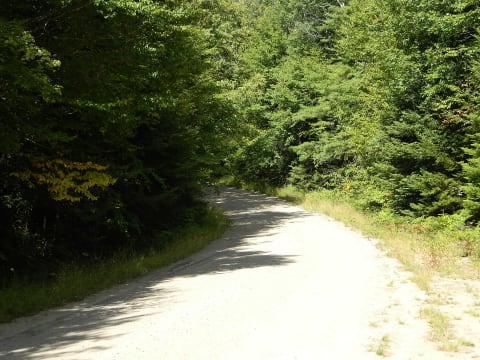 Easy · 2/10
Moose River Plains Road (Limekiln Lake-Cedar River Road)
Inlet / Moose River Plains Wild Forest (Adirondacks), New York
15 mi · Any high-clearance car or SUV in dry conditions; 15 mph limit
 Moderate · 4/10
Moremi South Gate to Third Bridge
Ngamiland (Moremi Game Reserve), Botswana
36 mi · 4x4 high clearance; snorkel useful in high-flood years
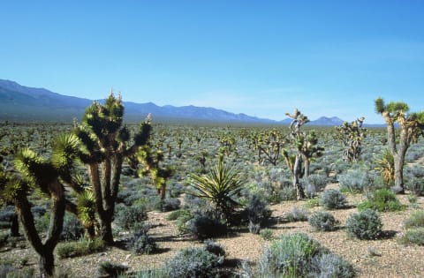 Easy · 3/10
Mormon Well Road
Desert National Wildlife Refuge, Sheep Range, Clark County, Nevada
41.7 mi · High-clearance 2WD minimum; 4WD recommended
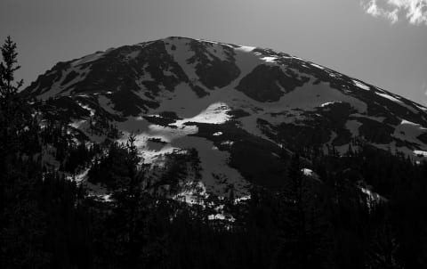 Moderate · 5/10
Mosquito Pass
Alma / Leadville, Colorado
17 mi · High-clearance 4×4 with low range
 Easy · 3/10
Mount Arvon Logging Roads
L'Anse / Skanee, Baraga County (Huron Mountains), Michigan
26 mi · High-clearance SUV or truck; 4WD helps on the muddy, overgrown final spur
 Easy · 3/10
Mount Lemmon Control Road (FR 38)
Santa Catalina Mountains, north of Tucson, Arizona
28 mi · High-clearance 2WD in dry weather; 4WD in wet or snow
 Moderate · 5/10
Mount Moorosi to Ketane Valley
Ketane, Quthing District, Lesotho
25 mi · 4x4 essential with some off-road experience
 Easy · 2/10
Mount Walker Road (Forest Road 2730)
Quilcene, Olympic Peninsula, Washington
5 mi · Most high-clearance vehicles; trailers and motorhomes prohibited
 Easy · 3/10
Mount Wilson Backcountry Byway
Wilson Creek Range, Lincoln County, Nevada
66 mi · High-clearance vehicle; 4WD in wet weather
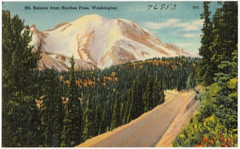 Moderate · 5/10
Naches Pass Trail (Naches Wagon Trail 4x4)
Greenwater / Cliffdell, between SR 410 and Stampede Pass, Washington
13 mi · High-clearance 4x4 with low range; 33-inch tires recommended; short wheelbase helps in tight sections
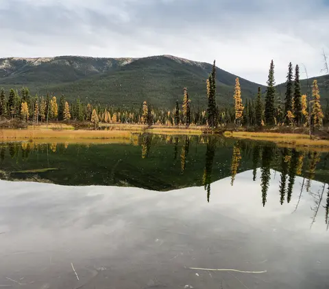 Easy · 3/10
Nahanni Range Road (Yukon Highway 10)
Southeast Yukon to the NWT border (Hyland River valley), Canada
120 mi · High-clearance 4x4 or pickup with two spares and long-range fuel
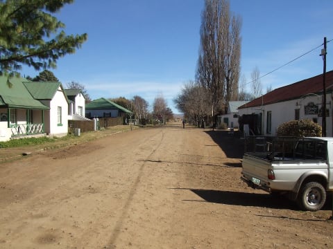 Easy · 3/10
Naudé's Nek Pass
Rhodes, Eastern Cape, South Africa
55 mi · High-clearance vehicle in dry weather; 4x4 recommended, essential in snow or rain
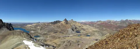 Moderate · 4/10
Nevado Huayracancha: Casapalca to Victoria
Cordillera Central, Huarochirí (Lima) / Yauli (Junín), Peru
18 mi · High-clearance 4x4; acclimatise first
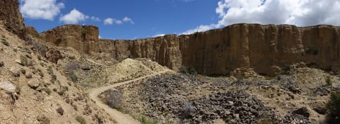 Moderate · 4/10
Nevis Road
Bannockburn / Garston, New Zealand
42 mi · High-clearance 4×4
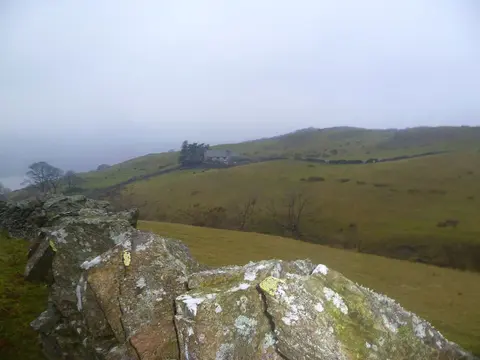 Easy · 3/10
Nibthwaite to Parkamoor Road (U5051/U5052)
Coniston Water east shore, Lake District, Cumbria, United Kingdom
2.2 mi · High-clearance 4x4 or trail bike; rough unsealed fell road
 Easy · 2/10
North River Road (FR 217)
Tellico Ranger District, Cherokee National Forest, Monroe County, Tennessee
11 mi · Graveled forest road; stock high-clearance 2WD in dry weather
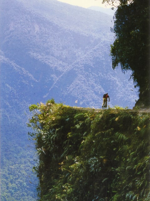 Moderate · 4/10
North Yungas Road (Death Road)
La Paz Department, Nor Yungas (Coroico Municipality), Bolivia
25 mi · High-clearance 4x4 or experienced motorcyclist; small vehicles only, no trailers
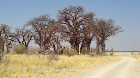 Moderate · 4/10
Nxai Pan and Baines' Baobabs
Central District (Nxai Pan National Park), Botswana
80 mi · 4x4 only; deflate tyres for the sand
 Easy · 2/10
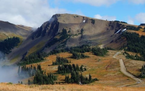
Obstruction Point Road
Hurricane Ridge / Port Angeles, Washington
7.8 mi · Most careful drivers in summer; high clearance helps. No RVs or trailers.
 Moderate · 4/10
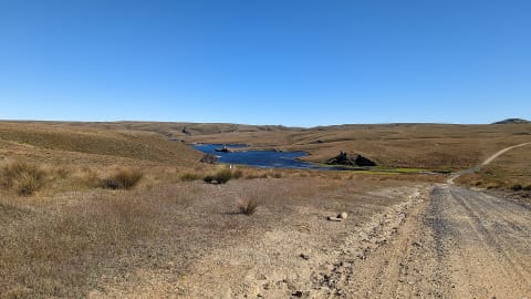
Old Andado Track (Binns Track: Santa Teresa – Old Andado – Mt Dare)
Simpson Desert fringe, Central Australia (NT) to Witjira (SA), Australia
270 mi · High-clearance 4WD; offroad campers OK to Old Andado, 4WD only beyond
 Moderate · 4/10
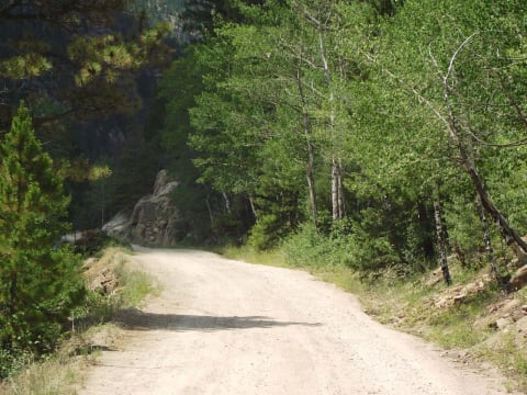
Old Dunstan Road
Central Otago, New Zealand
28.6 mi · High-clearance 4WD; 2WD is only practical on the first section to Loganburn in dry weather
 Easy · 2/10
Old Fall River Road
Estes Park / Rocky Mountain National Park, Colorado
9.4 mi · Any careful passenger car or SUV in dry conditions; no vehicles over 25 ft or trailers
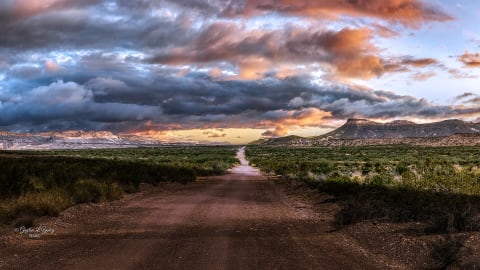 Easy · 2/10
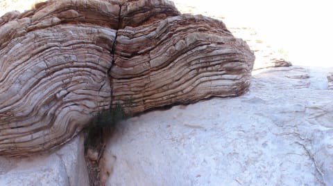
Old Maverick Road
Big Bend National Park west side, near Terlingua/Study Butte, Brewster County, Texas
13 mi · High-clearance vehicle recommended; 4x4 helpful in sand or mud. No RVs or low-clearance cars
 Moderate · 5/10
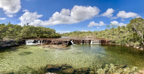
Old Ore Road
Big Bend National Park, Texas
26 mi · High-clearance 4WD truck or SUV with low range; street-legal vehicles only
 Extreme · 8/10
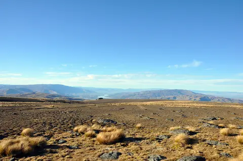
Old Telegraph Track
Cape York Peninsula, Queensland, Australia
43 mi · Built 4×4 — snorkel, lift, recovery gear
 Difficult · 6/10
Old Woman Range Road (Kopuwai 4WD Road from Duffers Saddle)
Old Woman Range / Kopuwai Conservation Area, Central Otago, New Zealand
22 mi · High-clearance 4WD with low range and mud-capable tyres; not for soft-roaders or rental cars
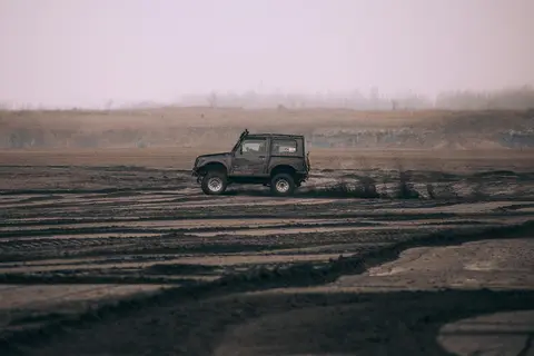 Difficult · 6/10
Ongeluksnek Pass
Near Matatiele, Eastern Cape / Lesotho border, South Africa
17 mi · A high-clearance 4x4 with low range is required, and diff locks are recommended.
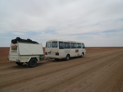 Easy · 3/10
Oodnadatta Track
Outback South Australia, Australia
248 mi · High-clearance vehicle; 4×4 recommended
 Easy · 3/10
Ophir Pass
Silverton / Ophir, Colorado
7.2 mi · Stock high-clearance 4×4
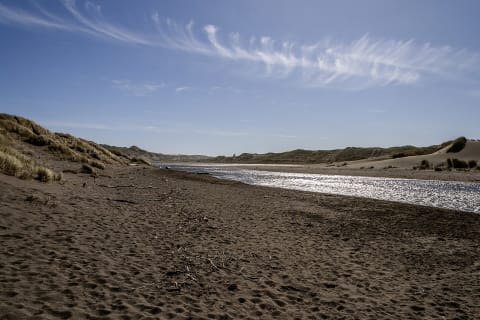 Moderate · 4/10
Oregon Dunes NRA South Riding Area (Spinreel to Horsfall)
Lakeside to North Bend, Coos County, southern Oregon Coast, Oregon
12 mi · Sand-capable 4x4, UTV/ATV or dune buggy; air down, whip flag required
 Moderate · 4/10
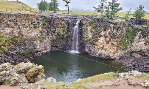
Orkhon Valley Road to Ulaan Tsutgalan Waterfall
Övörkhangai Province, Mongolia
46 mi · Sturdy high-clearance 4x4; experienced driver recommended
 Moderate · 5/10
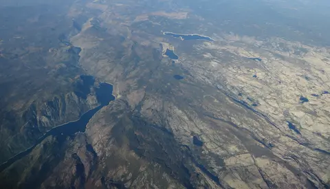
Oso Loop and Guale Road to Guale Mesa (Big Bend Ranch State Park)
Big Bend Ranch State Park, Presidio County, Texas
9 mi · Street-legal high-clearance 4x4 with low range; no side-by-sides or dirt bikes
 Easy · 3/10
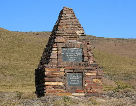
Otto du Plessis Pass
Eastern Cape Highlands, between Clifford and Ida (near Elliot), South Africa
6 mi · A normal car can drive it in fair weather. You need a 4x4 when heavy rain turns it to mud.
 Easy · 2/10
Ouberg Pass (Montagu)
Montagu, Western Cape, South Africa
14.2 mi · Most vehicles in dry weather; high clearance preferred
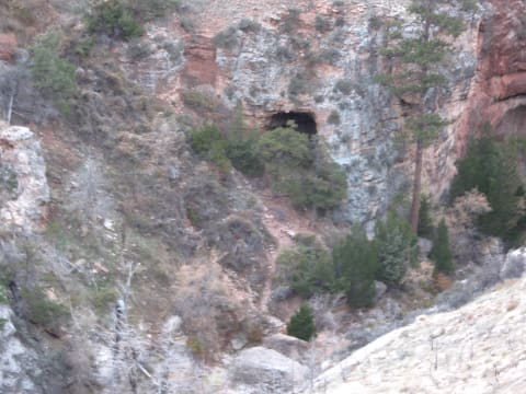 Easy · 3/10
Outlaw Cave Road (Bar C Road)
Kaycee / Barnum, Wyoming
8 mi · High-clearance vehicle; 4WD advisable when wet
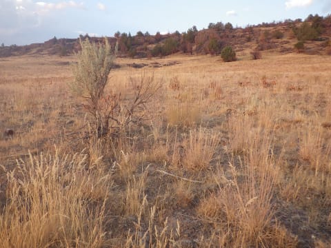 Easy · 2/10
Owyhee Uplands Back Country Byway
Grand View, ID / Jordan Valley, OR, Idaho
102.7 mi · Passenger car in dry summer conditions; high clearance preferred
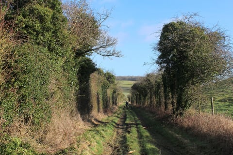 Easy · 3/10
Ox Drove (Win Green to Middleton Down)
Cranborne Chase, south Wiltshire, United Kingdom
8 mi · High-clearance 4x4 with mud-terrain or all-terrain tyres
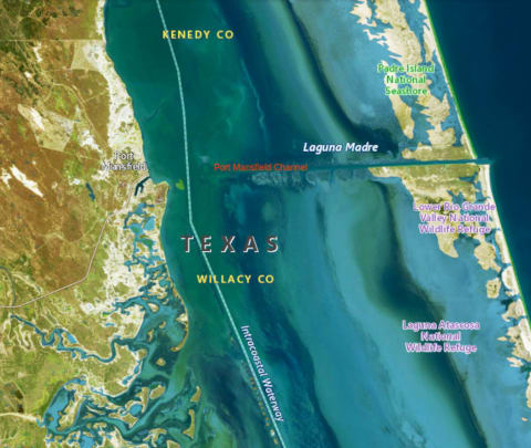 Moderate · 4/10
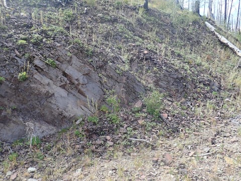
Padre Island National Seashore South Beach to Mansfield Channel
North Padre Island, south of Corpus Christi, Kleberg/Kenedy counties, Texas Gulf Coast, Texas
60 mi · 4WD required from mile 5 to 60 (high clearance for Yarborough Pass). Street-legal, registered, plated vehicles only; ATVs, UTVs and golf carts prohibited
 Easy · 3/10
Paliza Canyon Road (FR 10)
Jemez Mountains, Santa Fe National Forest, New Mexico
14.2 mi · High-clearance 2WD or 4x4
 Easy · 2/10
Panther Mountain Road (Gauley River NRA)
Gauley River National Recreation Area, West Virginia
9.6 mi · Stock 4WD, SUV or high-clearance car
 Easy · 2/10
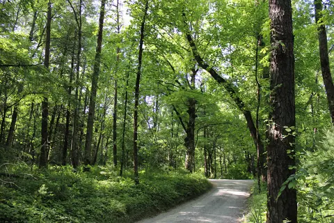
Park Tote Road
Baxter State Park, Maine
40 mi · Vehicles under 9 ft tall, 7 ft wide and 22 ft long; no motorcycles or ATVs
 Easy · 3/10
Parson Branch Road
Great Smoky Mountains National Park (Cades Cove), Blount County, Tennessee
8 mi · High clearance recommended; no motorhomes, buses, vans over 25 ft or vehicles towing trailers
 Easy · 3/10
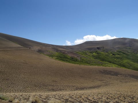
Paso Pichachén via Laguna del Laja
Antuco, Biobío Region, Chile
50 mi · High-clearance SUV or 4x4
 Easy · 3/10
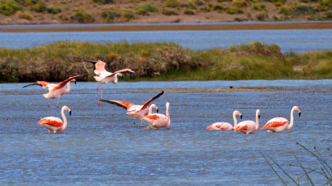
Paso Roballos (X-83 / RP 41)
Aysén Region (Chile) – Santa Cruz (Argentina), Chile
101 mi · High-clearance vehicle; 4x4 helpful when wet
 Easy · 3/10
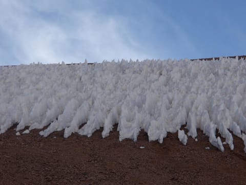
Paso de Agua Negra (RN 150)
San Juan Province, Iglesia Department, Argentina
45 mi · Any sound vehicle in dry summer conditions; high clearance helps on the upper ripio
 Easy · 3/10
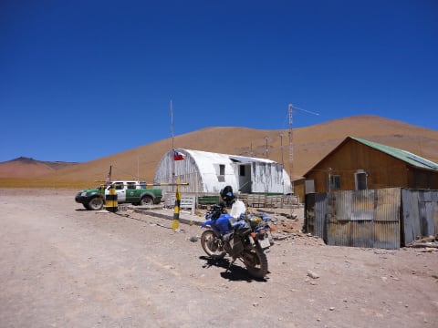
Paso de Sico (Ruta 23 CH / RN 51)
Puna de Atacama – Antofagasta (Chile) / Salta (Argentina), Argentina
209 mi · High-clearance vehicle with good tyres; 4x4 recommended on RN 51
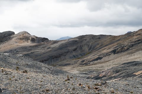 Easy · 3/10
Pastoruri Road and Abra Huarapasca
Huascarán National Park, Recuay Province, Áncash, Peru
28 mi · High-clearance SUV or 4x4
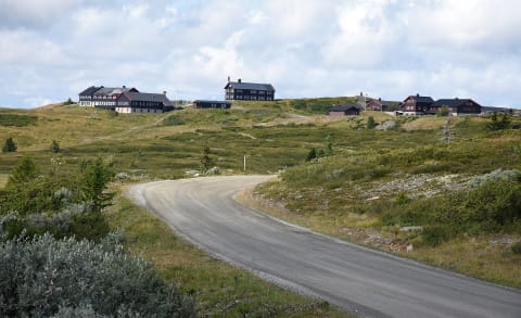 Easy · 1/10
Peer Gynt-vegen
Gausdal / Sør-Fron / Nord-Fron, Gudbrandsdalen, Innlandet, Norway
37 mi · Any car; gravel
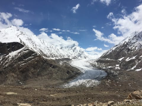 Easy · 3/10
Pensi La – Kargil–Zanskar Road (NH301)
Kargil district, Ladakh, India
93 mi · High-clearance SUV; 4x4 useful early and late season
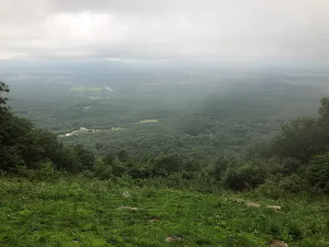
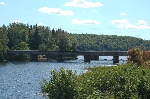 Easy · 2/10
Peshekee Grade (County Road 607)
Champion / Van Riper, Marquette County, Michigan
14 mi · High-clearance 4x4 recommended; narrow single-lane sections and washouts
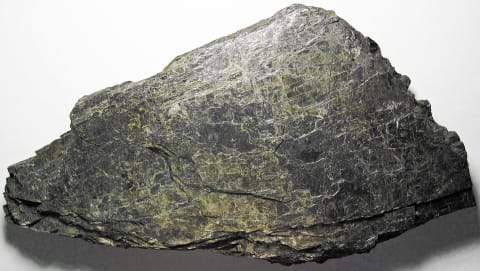
 Moderate · 4/10
Peters Mill Run OHV Trail
Massanutten Mountain, Lee Ranger District (near Edinburg / Fort Valley), Virginia
8.4 mi · Stock high-clearance 4x4 with decent tires; air down and use 4-Low for the rocky southern climb, especially after rain
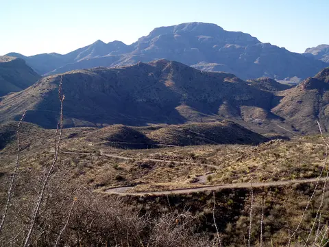
 Moderate · 4/10
Picket Pin–Iron Mountain Road
Nye / Stillwater Valley, Montana
22 mi · High-clearance 4x4 with low range for the steep upper section
 Easy · 3/10
Pinto Canyon Road (FM 2810, Marfa to Ruidosa)
Chinati Mountains, Presidio County, Texas
52 mi · High-clearance SUV or truck; 4x4 advised after rain; not for sedans or trailers
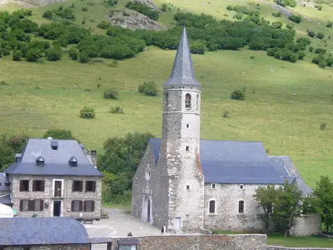 Easy · 2/10
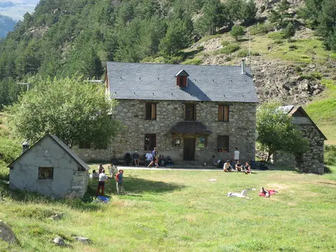
Pista de Montgarri (Pla de Beret to Alòs d'Isil)
Val d'Aran / Alt Àneu, Lleida (Catalonia), Spain
Graded gravel to Montgarri; beyond it, rougher track that is still SUV-friendly. Extra clearance helps.
 Easy · 2/10
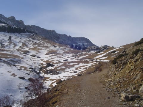
Pista de Viadós (Plan to Refugio de Viadós)
Valle de Chistau, Sobrarbe, Huesca (Aragón), Spain
8 mi · Any careful car in dry summer conditions; 4x4 recommended outside summer or after rain
 Moderate · 4/10
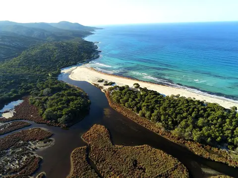
Pista del Refugi de Prat d'Aguiló
Cerdanya, Lleida (Catalonia), Spain
7.4 mi · High-clearance 4x4 recommended; rocky, steep, unpaved hairpins
 Moderate · 4/10
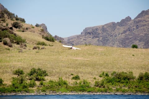
Piste de Saleccia (Désert des Agriates)
Désert des Agriates, Haute-Corse, Corsica, France
7.5 mi · High-clearance 4x4 strongly advised; some low cars attempt it and leave parts behind
 Easy · 2/10
Pittsburg Landing Road (Deer Creek Road)
White Bird, Idaho, Idaho
17.5 mi · Any careful driver in dry weather; large RVs and trailers use extreme caution
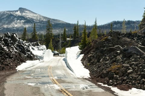 Easy · 3/10
Plenty & Donohue Highways
Central Australia, Northern Territory to western Queensland, Australia
421 mi · High-clearance 4x4 or AWD; dry weather only
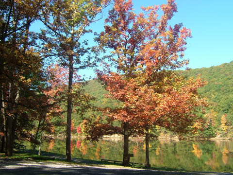 Easy · 3/10
Poe Paddy Drive
Coburn / Millheim, Centre County, Pennsylvania
5 mi · Gravel to the vistas for any car; high-clearance 4x4 for the rocky eastern descent
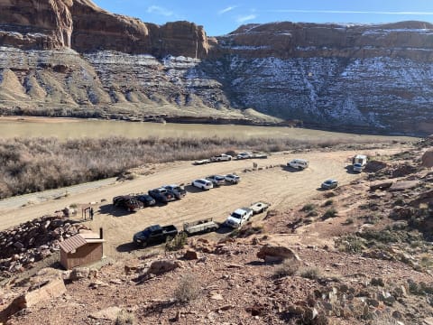 Difficult · 6/10
Poison Spider Mesa
Moab, Utah
8.2 mi · Modified 4×4 — 33"+ tires; lockers help
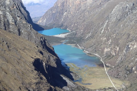 Easy · 3/10
Portachuelo de Llanganuco (Yungay to Yanama)
Huascarán National Park, Yungay Province, Áncash, Peru
44 mi · High-clearance SUV or 4x4; low gears for the long climb and descent
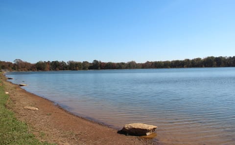 Easy · 2/10
Potato Patch Road (FS 68) to Lake Conasauga
Cohutta Mountains / Chatsworth & Ellijay, Georgia
9 mi · Any high-clearance SUV or pickup; trailers over 25 ft not recommended
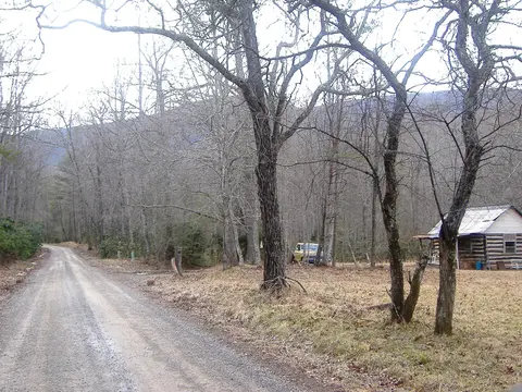 Extreme · 8/10
Potts Mountain Jeep Trail (FR 5036)
Potts Mountain, Craig County (near New Castle / Paint Bank), Virginia
7.5 mi · Modified street-legal 4x4 with high-clearance suspension, all-terrain tires, armor and lockers; winch recommended
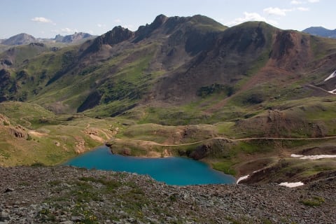 Difficult · 7/10
Poughkeepsie Gulch
Lake Como / Silverton, Colorado
3.8 mi · Modified 4×4 — lockers and 33"+ tires recommended
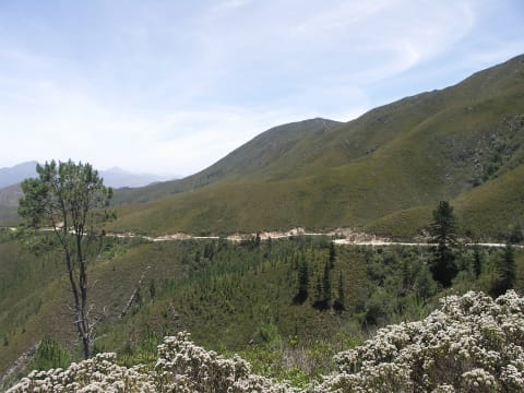 Easy · 3/10
Prince Alfred's Pass (R339)
Garden Route, Western Cape, South Africa
42.3 mi · High-clearance vehicle, ideally a 4x4; no caravans or quad bikes
 Easy · 3/10
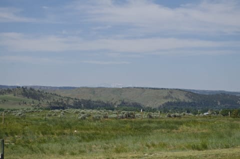
Pryor Mountain Road to Big Ice Cave (FR 2308)
Bridger / Pryor Mountains, Montana
34 mi · High-clearance SUV or truck; 4WD past Big Ice Cave
 Easy · 3/10
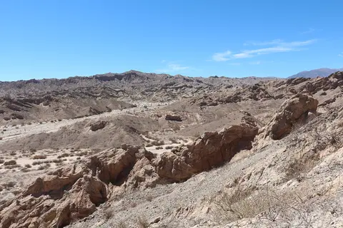
Quebrada de las Flechas – RN40 Cachi to Cafayate
Valles Calchaquíes, Salta, Argentina
100 mi · Any high-clearance car in the dry; SUV preferred for washboard and sandy patches
 Easy · 2/10
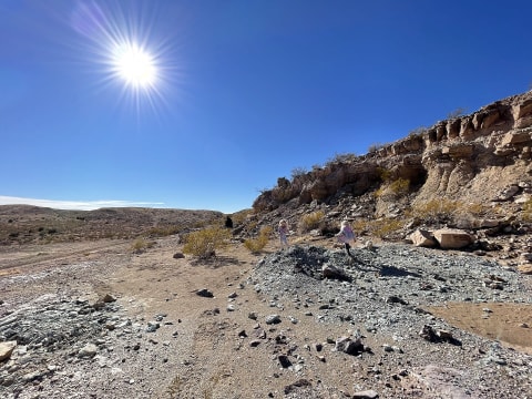
Quebradas Backcountry Byway
Socorro, New Mexico
24 mi · High-clearance 2WD in dry weather; 4WD recommended after rain
 Easy · 2/10
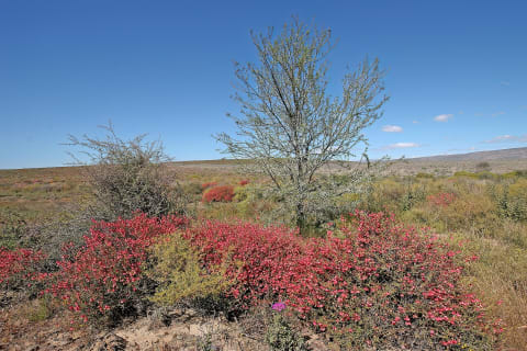
R355 Tankwa Karoo (Ceres to Calvinia)
Tankwa Karoo, Western Cape / Northern Cape, South Africa
180 mi · Any sound vehicle driven slowly; high-clearance SUV or 4x4 with all-terrain tyres preferred
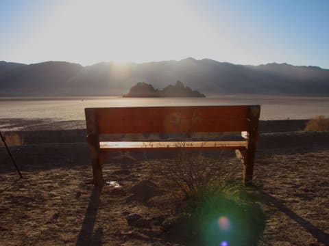 Easy · 3/10
Racetrack Valley Road
Death Valley, California
29 mi · High-clearance vehicle with heavy-duty tires
 Moderate · 5/10
Railroad Ridge via Jim Creek Road
Clayton / East Fork Salmon River, Idaho
4WD with good tires and high clearance
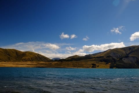 Easy · 3/10
Rainbow Road
St Arnaud / Hanmer Springs, New Zealand
16 mi · High-clearance vehicle; 4×4 recommended
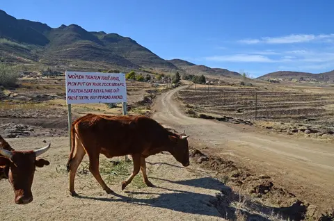 Moderate · 4/10
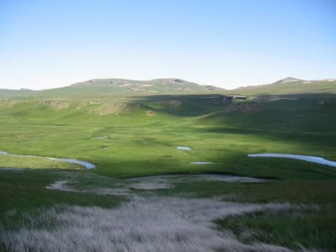
Ramabanta to Malealea via Botsoela
Maseru / Mafeteng districts, western Lesotho highlands, Lesotho
30 mi · 4x4 with high clearance; low range needed for the steep Botsoela switchbacks.
 Moderate · 5/10
Ramatseliso's Gate to Sehlabathebe
Qacha's Nek District, Lesotho
22 mi · High-clearance 4x4 with low range
 Difficult · 7/10
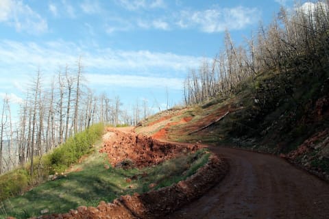
Red Cone
Montezuma / Hall Valley, Colorado
5.9 mi · High-clearance 4×4 with low range; steep, loose descent
 Easy · 3/10
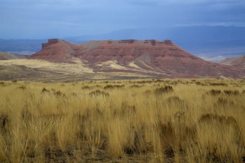
Red Grade Road
Big Horn / Sheridan, Wyoming
35 mi · High-clearance 4x4 recommended for the steep, rocky climb
 Easy · 2/10
Red Gulch / Alkali Backway
Shell / Hyattville, Wyoming
35 mi · High-clearance vehicle
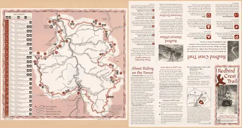 Moderate · 5/10
Redbird Crest Trail
Redbird Ranger District, Daniel Boone National Forest, Clay and Leslie Counties, Kentucky
69 mi · ATV/UTV to 64 in (sections 1-6) or 50 in (7-13); street-legal 4x4 on sections 14-15; dirt bikes on 16-22
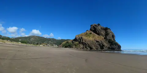 Easy · 2/10
Reecer Creek Road to Lion Rock & Liberty
Ellensburg / Table Mountain, Kittitas County, Washington
25 mi · Any high-clearance vehicle or careful AWD SUV; 4x4 more comfortable on the loose, rocky Lion Rock spur
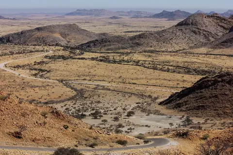 Easy · 3/10
Remhoogte Pass (Nauchas to Solitaire)
Khomas / Hardap boundary, central Namibia, Namibia
30 mi · High-clearance vehicle; 4x4 preferred for the sandy, steep sections. Sedans and light 2WD cars not recommended.
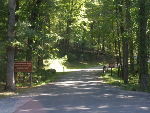 Easy · 2/10
Rich Mountain Road
Cades Cove / Townsend, Tennessee
6.9 mi · Any high-clearance car or SUV in dry conditions; no vehicles over 25 ft, buses, RVs or trailers
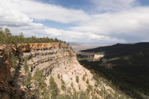 Easy · 2/10
Rio Chama Canyon Road (FR 151)
Abiquiu / Ghost Ranch, New Mexico
13 mi · High-clearance 2WD when dry; do not attempt when wet
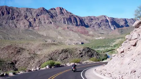 Easy · 3/10
River Road East (Big Bend National Park)
Big Bend National Park, Brewster County, Texas
20 mi · Street-legal high-clearance 4x4 (NPS: 15" rims, low range, 8"+ clearance); no OHVs/UTVs
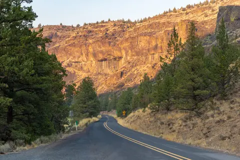 Moderate · 4/10
River Road West (Big Bend National Park)
Big Bend National Park, Brewster County, Texas
31 mi · Street-legal high-clearance 4x4 with low range; no OHVs/UTVs, no trailers
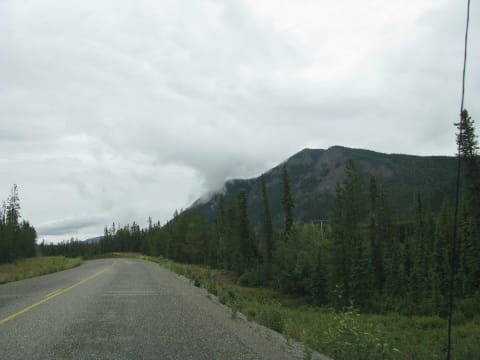 Easy · 3/10
Robert Campbell Highway
Southeast and Central Yukon, Canada
362 mi · High-clearance vehicle with good tires recommended; passenger cars possible in dry weather
 Easy · 2/10
Rock Creek Road to Great Meadows
Stearns Ranger District, Daniel Boone National Forest, McCreary County, Kentucky
12.5 mi · Well-maintained gravel; most passenger cars in dry weather, no long trailers
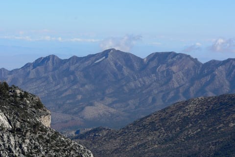 Difficult · 6/10
Rocky Gap Road
Red Rock Canyon / Spring Mountains (Las Vegas), Nevada
8.9 mi · High-clearance 4WD with low range; lifted/locked rigs and skilled drivers for the west-side washout
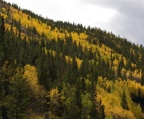 Easy · 2/10
Rollins Pass
Winter Park / Rollinsville, Colorado
14 mi · High-clearance vehicle
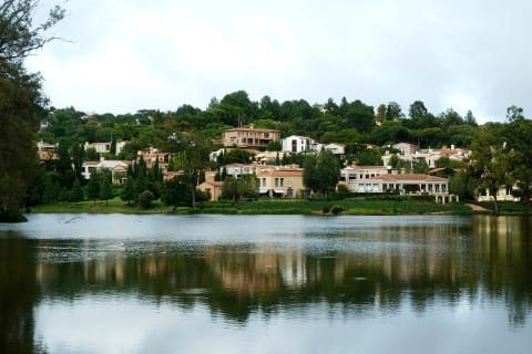 Easy · 3/10
Rooiberg Pass
Klein Karoo, Western Cape, South Africa
32.4 mi · High-clearance vehicle recommended; normal cars in dry weather
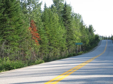 Easy · 3/10
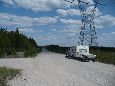
Route 389 (Baie-Comeau to Fermont)
Cote-Nord, Quebec, Canada
352 mi · Any high-clearance vehicle; passenger cars manage with care on gravel sections
 Easy · 2/10
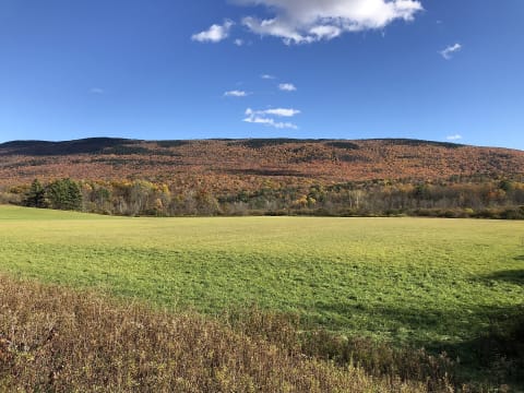
Route Transtaïga
Eeyou Istchee Baie-James, Quebec, Canada
414 mi · High-clearance vehicle with two full-size spares; 4WD east of Brisay
 Easy · 2/10
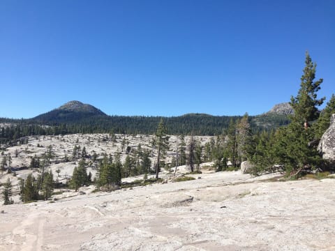
Roxbury Gap Road
Roxbury / Warren, Vermont
3 mi · Most vehicles in dry weather; 4×4 helps in mud season
 Extreme · 9/10
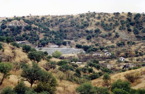
Rubicon Trail
Lake Tahoe, California
22 mi · Built rock crawler — lockers, 35"+ tires, armor, winch
 Easy · 2/10
Ruby Road
Nogales / Arivaca, Arizona
37 mi · High-clearance vehicle; 4WD recommended but not required in dry weather
 Moderate · 4/10
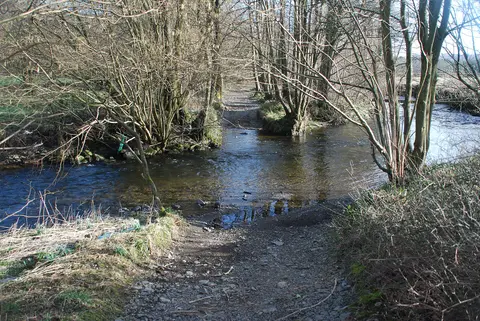
Rusland Pool Fords (U5566, The Strands)
Rusland valley, Lake District, Cumbria, United Kingdom
0.3 mi · 4x4 or trail bike; deep fords and a steep rocky exit
 Easy · 2/10
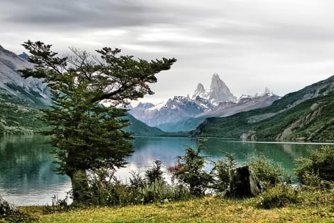
Ruta 23 to Lago del Desierto
Santa Cruz Province, El Chaltén / Los Glaciares National Park, Argentina
23 mi · Any car in summer; high clearance helpful after rain or early in the season
 Moderate · 5/10
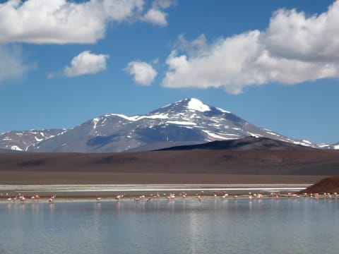
Ruta 76: Villa Unión to Laguna Brava and Pircas Negras
La Rioja Province, Vinchina / Laguna Brava Provincial Reserve, Argentina
161 mi · High-clearance 4x4
 Easy · 3/10
Ruta A-23 (Putre to Chislluma)
Parinacota Province, Arica y Parinacota, Chile
52 mi · 2WD with good clearance in dry weather; 4x4 after storms
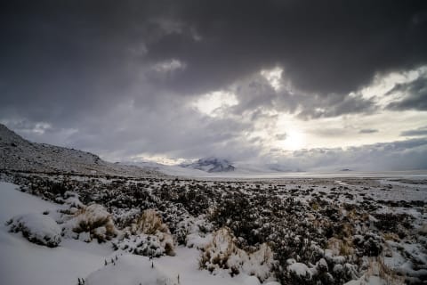 Easy · 3/10
Ruta A-235 to Salar de Surire
Las Vicuñas National Reserve, Arica y Parinacota, Chile
55 mi · High-clearance 4x4 recommended; 2WD possible in dry weather
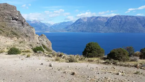 Easy · 3/10
Ruta X-265: Puerto Guadal to Chile Chico (Paso Las Llaves)
General Carrera Province, Aysén Region, Chile
76 mi · Any high-clearance vehicle in dry weather; take hairpins slowly
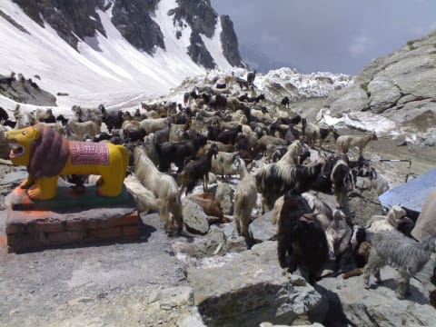 Moderate · 5/10
Saach Pass (Bairagarh to Killar)
Chamba district, Himachal Pradesh, India
42 mi · High-clearance 4x4 or SUV with good ground clearance; drive slowly
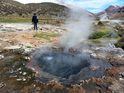 Easy · 3/10
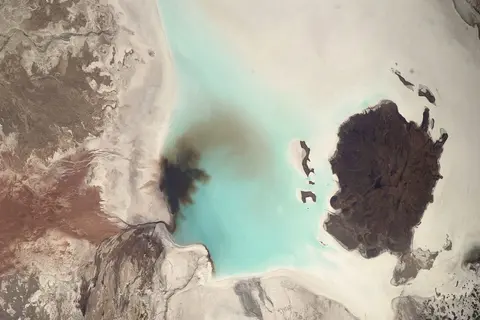
Sajama National Park Tracks (Geysers – Sajama – Huañacota)
Sajama National Park, Sajama Province, Oruro Department, Bolivia
15 mi · High-clearance vehicle; 4x4 recommended for the river crossings and the final narrow stretch to the geysers
 Moderate · 4/10
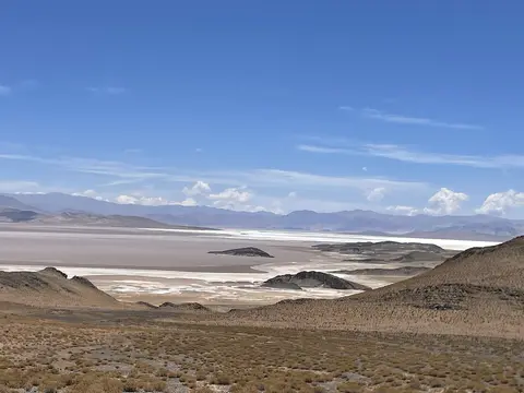
Salar de Coipasa Crossing (Llica – Coipasa – Sabaya)
Altiplano, Daniel Campos Province (Potosí) to Sabaya Province (Oruro), Bolivia
75 mi · 4x4 with good clearance; carry recovery gear and wash the underbody after the salt
 Moderate · 5/10
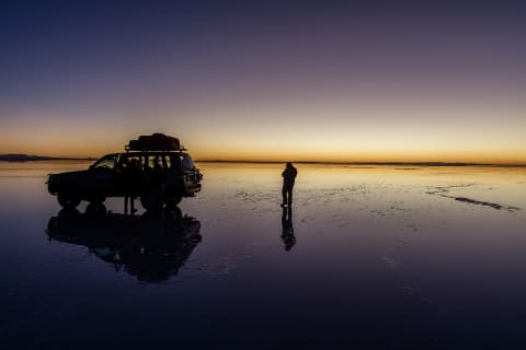
Salar de Pocitos to Antofagasta de la Sierra via Abra Falda Ciénaga (RP43)
Puna de Atacama, Salta & Catamarca, Argentina
142 mi · 4x4 with good clearance; carry fuel and water for 230 km with no services
 Easy · 2/10
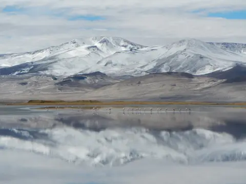
Salar de Uyuni Crossing (Colchani to Isla Incahuasi)
Potosí Department, Daniel Campos and Antonio Quijarro provinces (Altiplano), Bolivia
60 mi · 4x4 recommended; rinse salt from the underbody afterwards
 Easy · 3/10
Salar del Huasco Altiplano Road
Pica commune, Tarapacá Region, Chile
85 mi · High-clearance 2WD in dry conditions; 4WD for sand and altiplano winter
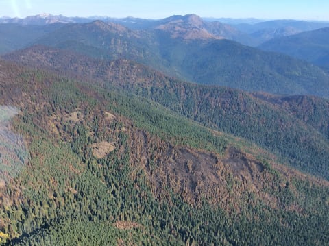 Easy · 3/10
Salmo Mountain Lookout Road (FR 2220 / 2220270)
Sullivan Lake / Metaline Falls, Pend Oreille County, Washington
21 mi · High-clearance SUV or 4x4
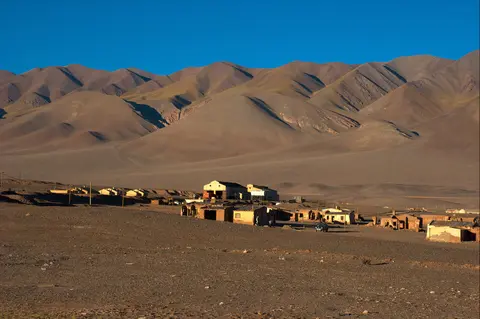 Moderate · 4/10
San Antonio de los Cobres to Tolar Grande via Salar de Pocitos
Puna Salteña, Los Andes Department, Salta, Argentina
115 mi · High-clearance SUV or pickup; 4WD advised for sand and after rain
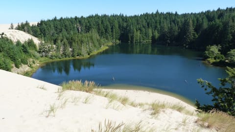 Moderate · 4/10
Sand Lake Recreation Area OHV Dunes
Sand Lake, between Tillamook and Pacific City, Tillamook County, Oregon
4 mi · ATV, UTV, dune buggy or sand-capable 4x4; whip flag required
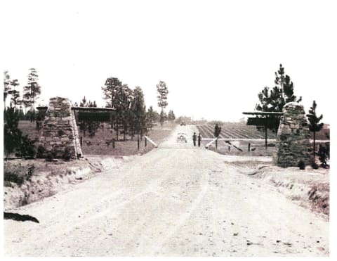 Moderate · 4/10
Sandstone Multiple-Use Trail
Kisatchie Ranger District / Natchitoches Parish, Louisiana
31 mi · ATV, UTV or dirt bike (OHV trail, not a full-size 4x4 route)
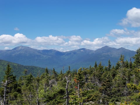 Easy · 3/10
Sandwich Notch Road
Center Sandwich / Thornton, New Hampshire
7.9 mi · High-clearance vehicle; 4×4 recommended after rain
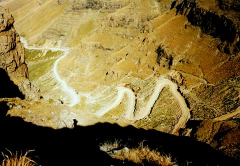 Moderate · 5/10
Sani Pass
KwaZulu-Natal / Lesotho border, South Africa
21 mi · 4×4 required on the unsealed sections
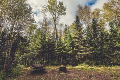 Easy · 1/10
Sawbill Trail to The Grade (FR 170)
Tofte, Cook County (North Shore), Minnesota
20 mi · Any high-clearance vehicle or SUV; graded gravel with washboard
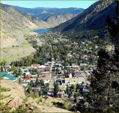 Moderate · 5/10
Saxon Mountain
Georgetown, Colorado
4.7 mi · High-clearance 4×4 with low range
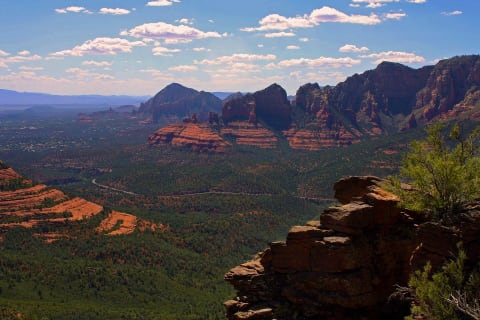 Moderate · 4/10
Schnebly Hill Road
Sedona, Arizona
12 mi · High-clearance 4×4 — not suitable for cars or low SUVs
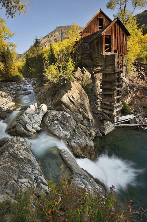 Difficult · 7/10
Schofield Pass
Marble / Crested Butte, Colorado
5 mi · Experienced driver in a capable 4×4
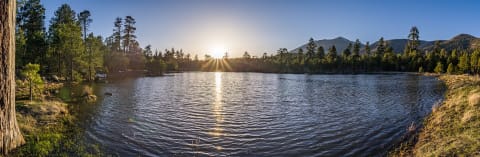 Easy · 2/10
Schultz Pass Road
Flagstaff, Arizona
5.5 mi · Most vehicles in dry weather; high clearance recommended when wet; street-legal only
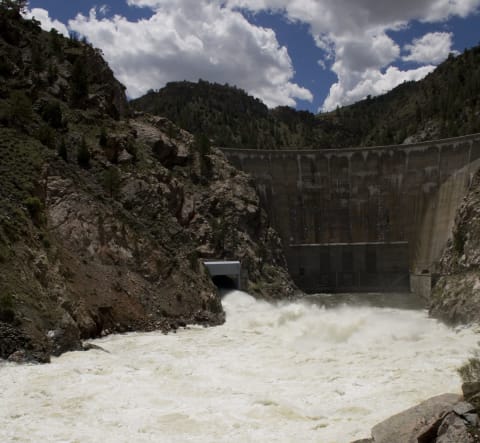 Easy · 2/10
Seminoe to Alcova Backcountry Byway
Alcova / Sinclair, Wyoming
64 mi · Passenger car in dry weather; high clearance helps when muddy; no big RVs/trailers through Seminoe Mountains
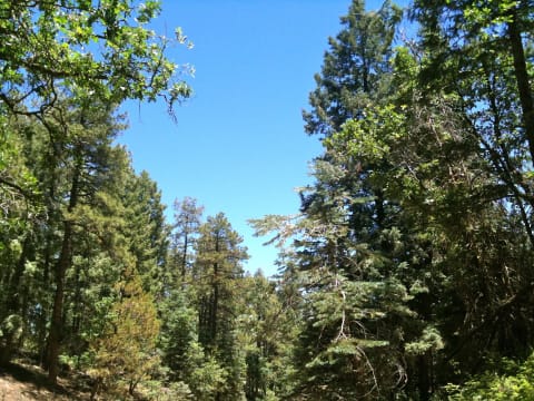 Moderate · 4/10
Senator Highway (FR 52) – Prescott to Crown King
Bradshaw Mountains, south of Prescott, Arizona
39 mi · High-clearance 4WD
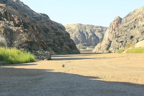 Moderate · 5/10
Sesfontein to Puros and Orupembe (D3707, Kaokoland)
Kaokoland (Kaokoveld), Kunene Region, Namibia
130 mi · High-clearance 4x4 with low range; two vehicles recommended north of Puros
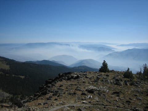 Easy · 3/10
Seven Devils Road to Heavens Gate (FR 517)
Riggins / Hells Canyon, Idaho
19.5 mi · High-clearance vehicle; no RVs or trailers on the upper road
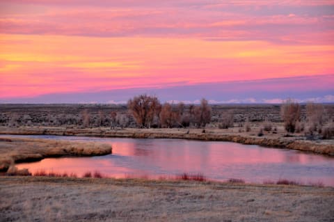 Easy · 2/10
Shadow Mountain Road (Forest Road 30340)
Kelly / Moose, Jackson Hole, Wyoming
7.9 mi · High-clearance vehicle; 4WD after rain
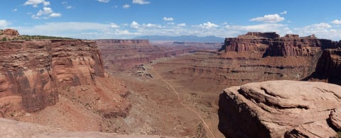 Easy · 3/10
Shafer Trail
Canyonlands — Island in the Sky, Utah
16 mi · High-clearance 4×4
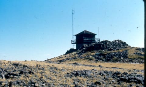 Easy · 2/10
Sheep Mountain Lookout Road (Pole Creek Road / FDR 28)
Buffalo, Wyoming
5.5 mi · Most vehicles when dry; 4WD recommended if weather turns
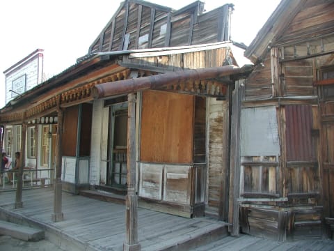 Easy · 2/10
Silver City Road
Murphy / Silver City, Owyhee County, Idaho
25 mi · High-clearance SUV or 4x4 recommended over cars
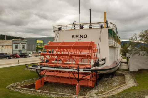 Easy · 2/10
Silver Trail (Yukon Highway 11)
Mayo district, Central Yukon, Canada
68 mi · Any passenger car on the highway; high clearance for the Keno Hill side road
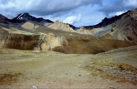 Moderate · 5/10
Sirsir La Road (Lamayuru to Photoksar)
Lamayuru–Wanla–Photoksar, Leh district, Ladakh, India
37 mi · High-clearance 4x4
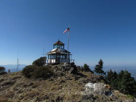 Easy · 3/10
Siskiyou Crest Road (Forest Road 20) to Dutchman Peak
Mt. Ashland / Applegate, Jackson County, Oregon
16 mi · High-clearance SUV or 4x4; Dutchman Peak spur needs 4WD and tough tires
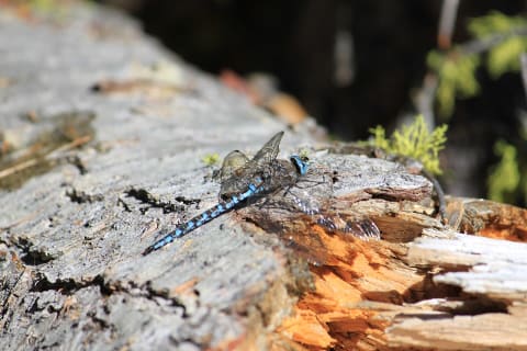 Easy · 2/10
Skalkaho Pass Road (Montana Highway 38)
Hamilton / Philipsburg, Montana
54 mi · Any high-clearance car or SUV in summer; narrow, winding gravel that does not suit long trailers or RVs
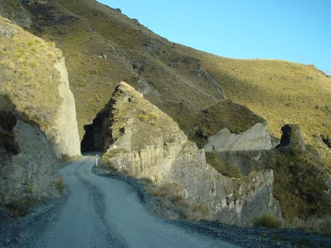 Moderate · 5/10
Skippers Road
Queenstown, New Zealand
10 mi · Narrow, exposed road — many rental companies ban it
 Moderate · 4/10
Skyline Drive (Wasatch Plateau, FR 150)
Wasatch Plateau (Sanpete / Emery / Sevier counties), Utah
100 mi · High-clearance 4WD for the southern section; north section is graded gravel
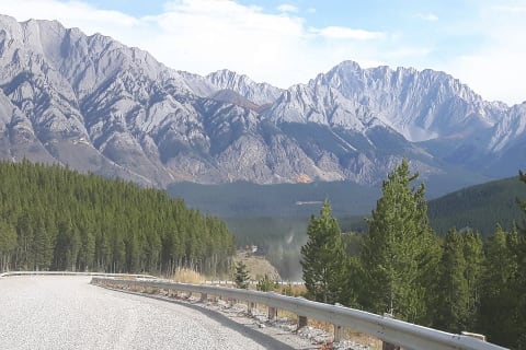 Easy · 2/10
Smith-Dorrien/Spray Trail
Kananaskis Country, Alberta, Canada
44 mi · Any passenger car in dry conditions; high clearance helps on washboard
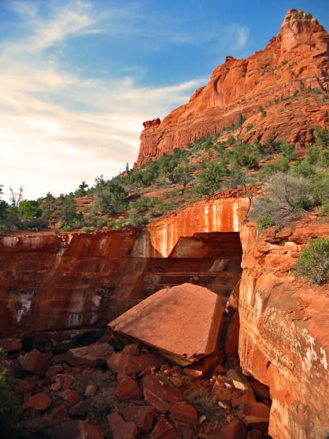 Moderate · 4/10
Soldier Pass
Sedona, Arizona
1 mi · High-clearance 4×4
 Moderate · 4/10
Solitario Road East
Big Bend Ranch State Park (El Solitario), Texas
4 mi · Street-legal high-clearance 4x4
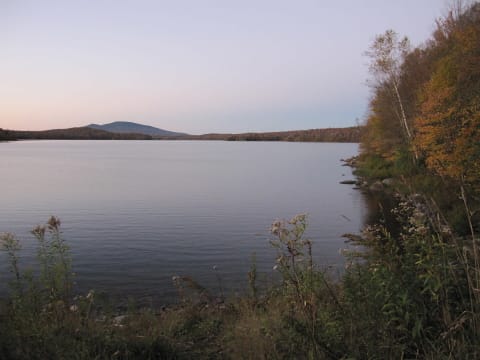 Easy · 2/10
Somerset Road
Searsburg, Vermont
9.4 mi · High-clearance vehicle recommended
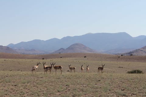 Easy · 3/10
South Baldy Road (FR 235)
Magdalena Mountains, Cibola National Forest, near Socorro, New Mexico
8 mi · High-clearance AWD or 4x4
 Easy · 3/10
South Bighorn / Red Wall Backcountry Byway
Casper / Arminto / Kaycee, Wyoming
101 mi · High-clearance vehicle; 4WD may be needed when wet; no trailers, fifth-wheels or RVs
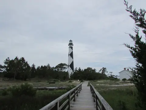 Easy · 3/10
South Core Banks Beach Drive (Cape Lookout)
Cape Lookout National Seashore, Carteret County (ferry from Davis), North Carolina
14 mi · Street-legal, registered and inspected 4WD; air down to 20 psi or less. ATVs and UTVs allowed with a permit; no motorcycles.
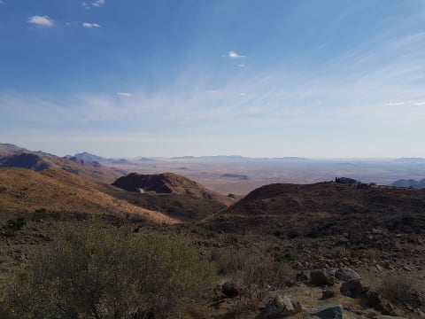 Easy · 3/10
Spreetshoogte Pass (D1275)
Khomas Region, Namib-Naukluft escarpment, Namibia
31 mi · High-clearance 2WD or 4x4 with good brakes; use low gear on the descent
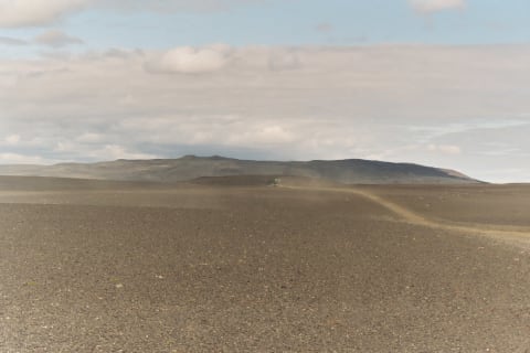 Moderate · 4/10
Sprengisandur (F26)
Central Highlands, Iceland
118 mi · 4×4 with high clearance
 Easy · 2/10
Spruce Knob Backroads (FR 112 & FR 1)
Spruce Knob-Seneca Rocks National Recreation Area, Monongahela National Forest, West Virginia
12 mi · Any car in dry weather; high clearance recommended on the gravel
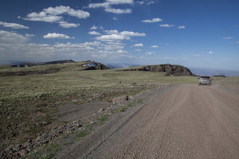 Easy · 3/10
Steens Mountain Loop Road
Frenchglen / Steens Mountain, Oregon
52 mi · High-clearance 2WD for most of it; high clearance or 4x4 recommended for the rocky south section
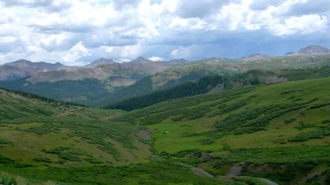 Moderate · 4/10
Stony Pass
Silverton / Creede, Colorado
36.6 mi · High-clearance 4x4 with low range; stock SUVs fine in dry conditions
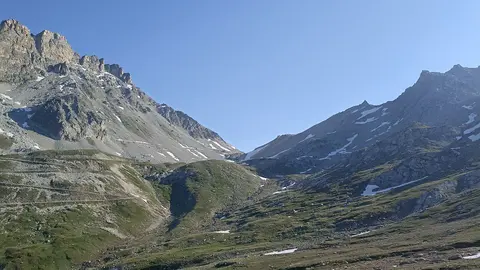 Moderate · 4/10
Strada del Colle del Sommeiller (Bardonecchia – Rochemolles – Colle Sommeiller)
Valle di Rochemolles, Bardonecchia, Alta Val di Susa (Piedmont), Italy
15.7 mi · High-clearance 4x4 recommended; a careful high-clearance car can manage in dry conditions
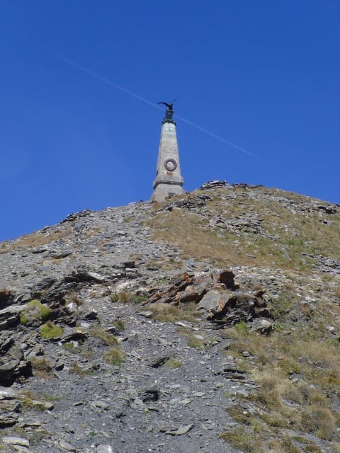 Easy · 3/10
Strada dell'Assietta
Piedmont — Susa / Chisone valleys, Italy
21 mi · Most high-clearance vehicles in dry weather
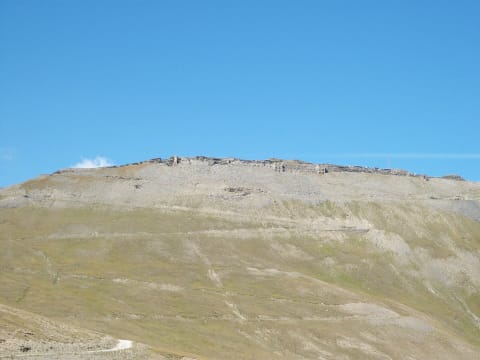 Moderate · 5/10
Strada militare del Jafferau (Via dei Saraceni)
Upper Susa Valley, Cottian Alps, Piedmont, Italy
20 mi · High-clearance 4x4 with low range; narrow (~3 m), rocky, rockfall-prone
 Moderate · 5/10
Strata Florida Mountain Road
Cambrian Mountains, Ceredigion / Powys, Wales, United Kingdom
6.5 mi · High-clearance 4x4 with low range, good tyres and a raised air intake or careful wading
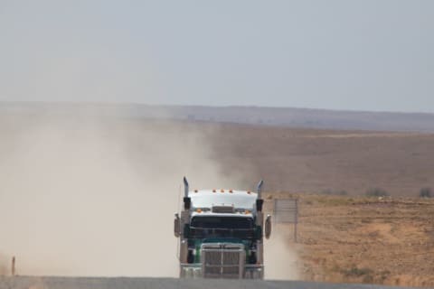 Easy · 2/10
Strzelecki Track
Far North, South Australia, Australia
293 mi · High-clearance 4x4 recommended; 2WD possible in dry conditions with care
 Easy · 1/10
Stuart Memorial Drive (Forest Road 91)
Elkins / Alpena, Randolph County, West Virginia
11 mi · Any vehicle when dry; not plowed in winter
 Easy · 3/10
Success Pond Road
Berlin / Grafton Notch, New Hampshire
11 mi · High-clearance vehicle; full-size spare recommended
 Easy · 2/10
Swaershoek Pass (R337 Cradock to Pearston)
Eastern Karoo, between Cradock and Pearston, Eastern Cape, South Africa
52 mi · Any vehicle in fair weather. High clearance helps on the corrugations.
 Easy · 3/10
Swartberg Pass (R328 Oudtshoorn to Prince Albert)
Swartberg, Western Cape (Klein Karoo / Great Karoo), South Africa
45 mi · Any vehicle in dry weather; high-clearance SUV or 4x4 preferred after rain. No caravans, trailers or heavy vehicles.
 Easy · 1/10
Tallulah River Road (FS 70) to Tate City
Clayton / Tate City, Georgia
5.5 mi · Any car with care; SUV or higher clearance preferred, large RVs not advised
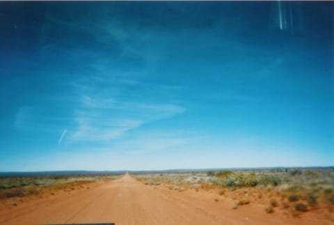 Easy · 3/10
Tanami Road
Tanami Desert, Northern Territory and Western Australia, Australia
643 mi · 4x4 recommended; caravans and trailers not recommended
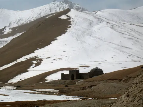 Easy · 2/10
Tash Rabat Road (Naryn to Tash Rabat Caravanserai)
At-Bashy District, Naryn Region, Kyrgyzstan
71 mi · Any high-clearance car in summer; 4x4 for snow or mud in the shoulder seasons
 Moderate · 5/10
Taylor Pass
Aspen / Taylor Park, Colorado
14 mi · High-clearance 4×4 with low range
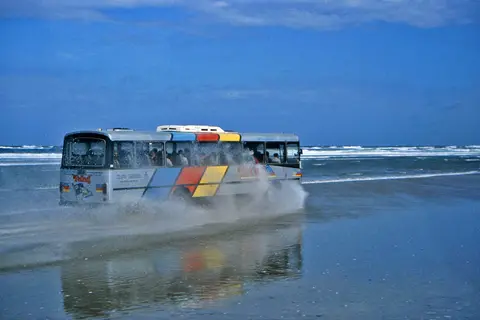 Easy · 2/10
Te Oneroa-a-Tōhē / Ninety Mile Beach
Aupōuri Peninsula, Far North, Northland, New Zealand
55 mi · Private 4WD with sand-capable tyres; not campervans or rental cars
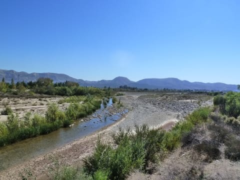 Easy · 3/10
Telegraph Creek Road (Highway 51)
Stikine Region, British Columbia, Canada
70 mi · High-clearance vehicle; no large RVs or trailers
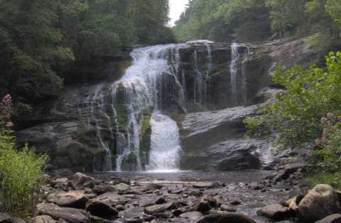 Easy · 2/10
Tellico River Road (FR 210)
Tellico Plains, Tennessee
Any vehicle with reasonable clearance; take narrow sections slowly
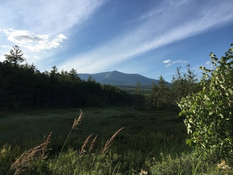 Easy · 2/10
Telos Road
North Maine Woods — Allagash, Maine
33 mi · High-clearance vehicle
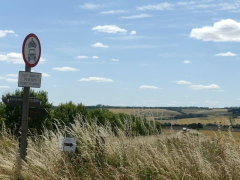 Easy · 3/10
The Ridgeway: Overton Hill to Hackpen Hill
Marlborough Downs, Wiltshire, United Kingdom
4.5 mi · High-clearance 4x4; road-legal, taxed and insured
 Easy · 3/10
Thomsons Gorge Road (Omakau to Tarras over Thomsons Saddle)
Dunstan Mountains, Central Otago, New Zealand
25 mi · High-clearance AWD/4WD; signs recommend 4WD, though 2WD is possible in dry summer conditions
 Moderate · 4/10
Three Forks Road & Fenwick Switchbacks (Owyhee Canyon)
Owyhee Canyonlands south of Jordan Valley, Malheur County, Oregon
38 mi · High-clearance 4x4 highly recommended for the final descent; no trailers or long-wheelbase rigs
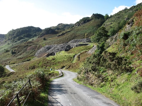 Moderate · 4/10
Tilberthwaite Road (High Tilberthwaite to Fell Foot)
Coniston / Little Langdale, Lake District, Cumbria, United Kingdom
1.6 mi · Short or medium-wheelbase 4x4 with good clearance
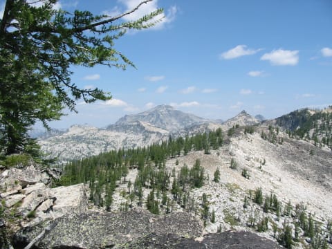 Moderate · 4/10
Tincup Pass
St. Elmo / Tincup, Colorado
6 mi · High-clearance 4×4
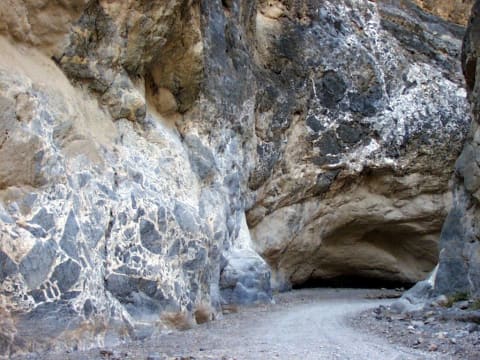 Easy · 3/10
Titus Canyon Road
Death Valley, California
26 mi · High-clearance vehicle; 4×4 recommended
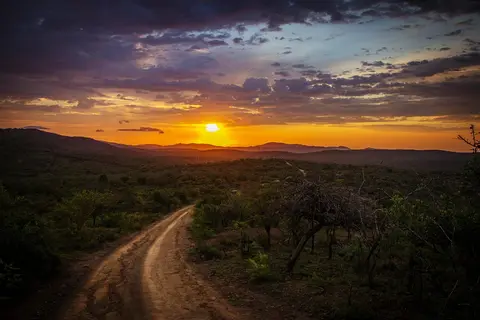 Difficult · 7/10
Tizi Tagountsa Helical Tunnel Piste (Agoudim to Ait Sidi Mhamed)
Eastern High Atlas, Midelt / Drâa-Tafilalet, Morocco
28 mi · Short-wheelbase high-clearance 4x4 with low range; not suitable for long vehicles or trailers
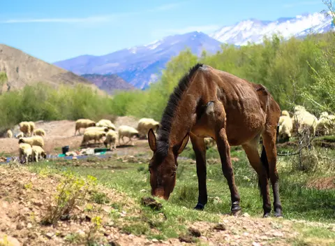 Difficult · 6/10
Tizi n'Ait Imi Piste (Tabant to Ighil N'Oumgoun)
Central High Atlas, Azilal (Béni Mellal-Khénifra) to Ouarzazate (Drâa-Tafilalet), Morocco
38 mi · High-clearance 4x4; low range is helpful on the upper switchbacks
 Difficult · 7/10
Tizi n'Oulaoun Piste (Amezri to Tamezrite N'Ait Affane)
Central High Atlas, Ouarzazate / Drâa-Tafilalet, Morocco
11 mi · High-clearance 4x4 with low range and strong tyres
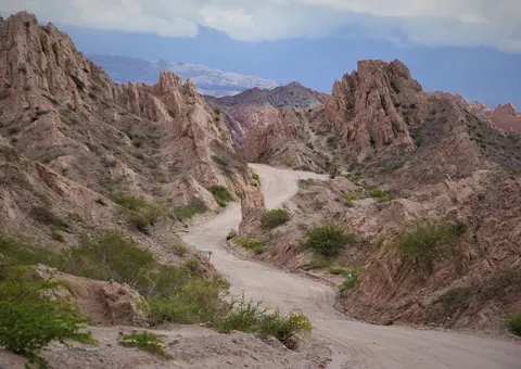 Difficult · 6/10
Tizi n'Targa Piste (from Tiwona)
Western High Atlas, Marrakesh-Safi, Morocco
23 mi · High-clearance 4x4 with low range
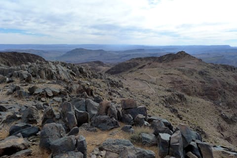 Moderate · 4/10
Tizi n'Tazazert (N'Kob to Iknioun across Jbel Saghro)
Jbel Saghro, Zagora and Tinghir Provinces, Drâa-Tafilalet, Morocco
30 mi · 4x4 required; high clearance
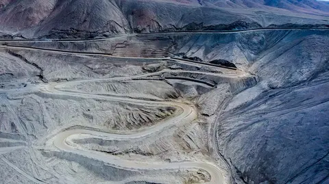 Difficult · 6/10
Tizi n'Teddi Three-Pass Track (from Tazeguezaoute)
High Atlas, Al Haouz / Marrakesh-Safi, Morocco
22.6 mi · High-clearance 4x4 with low range
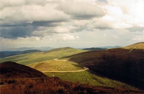 Easy · 3/10
Top of the World Highway
Klondike, Yukon, Canada
66 mi · Any high-clearance vehicle; passenger cars manage in dry weather
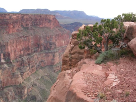 Moderate · 4/10
Toroweap Point Road (Tuweep)
Grand Canyon / Arizona Strip, Arizona
19.9 mi · High-clearance vehicle required by NPS; 4WD helpful for the last rocky miles; max 22 ft length
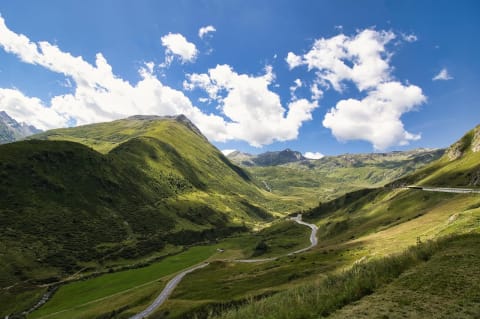 Difficult · 7/10
Tosor Pass Road
Issyk-Kul Region, Kyrgyzstan
21.6 mi · Well-equipped high-clearance 4x4 with off-road tyres; not for solo vehicles
 Easy · 3/10
Trail Creek Road (Trail Creek Summit)
Ketchum / Sun Valley to Chilly, Idaho
40.8 mi · Any stock AWD or high-clearance 4x4; no trailers or heavy vehicles
 Easy · 3/10
Tray Mountain Road via Indian Grave Gap
Helen / Hiawassee, Georgia
6 mi · High-clearance SUV or pickup; 4WD recommended after rain and in winter
 Easy · 1/10
Tripoli Road
Waterville Valley / Lincoln, New Hampshire
11 mi · Most vehicles when open
 Easy · 3/10
Truso Valley Road (Kobi to Zakagori)
Truso Gorge, Kazbegi Municipality, Mtskheta-Mtianeti, Georgia
10 mi · High-clearance SUV or 4x4; low cars risk getting stuck in mud and ruts
 Easy · 3/10
Tsaris Pass (C19 Sesriem to Maltahöhe)
Hardap Region, southern-central Namibia, Namibia
93 mi · High-clearance vehicle; 4x4 advised, especially after rain. Lower tyre pressures help on the corrugations.
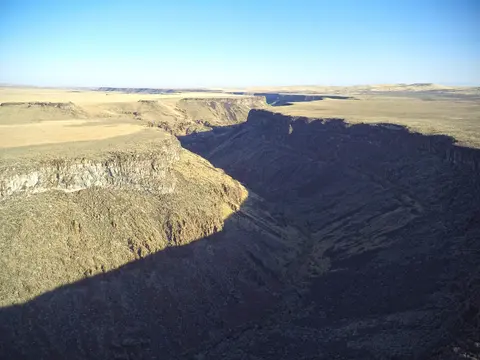 Easy · 2/10
Tumbling Creek Road (FR 45 / FR 221)
Ocoee Ranger District, Cherokee National Forest, Polk County (continues into Chattahoochee NF, Georgia), Tennessee
20 mi · Graded gravel; passenger cars can usually pass, high clearance more comfortable on the Georgia section
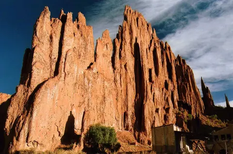 Moderate · 5/10
Tupiza to San Antonio de Lípez
Sud Chichas & Sur Lípez provinces, Potosí Department, Bolivia
140 mi · High-clearance 4x4 with long-range fuel; low range for steep loose climbs
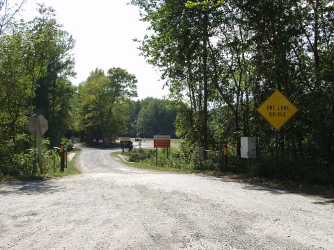 Moderate · 5/10
Turkey Bay OHV Area
Golden Pond / Land Between the Lakes, Kentucky
100 mi · Registered 4x4 with all-terrain or mud tires; some trails are limited to 50-inch width
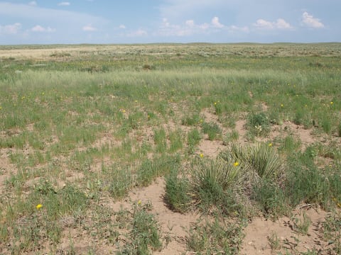 Easy · 3/10
Turkey Trail (FSR 798.B)
Cimarron National Grassland / Elkhart, Kansas
4.5 mi · High-clearance SUV, Jeep, UTV/ATV or dirt bike
 Easy · 1/10
Turner River Road
Big Cypress National Preserve, Florida
20 mi · Most vehicles in the dry season
 Moderate · 4/10
Twin Lakes Road (FR 3065)
Mount Baker Highway / Glacier, Whatcom County, Washington
7 mi · High-clearance 4x4 for the unmaintained last 2+ miles; SUVs and careful cars can reach the Yellow Aster Butte trailhead
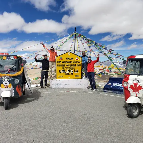 Moderate · 4/10
Umling La via Photi La (Hanle to Umling La)
Changthang (Hanle and Koyul), Leh district, Ladakh, India
50 mi · Well-maintained high-clearance 4x4 or SUV; carry extra fuel
 Easy · 2/10
Union Pass Road
Dubois / Pinedale, Wyoming
72.6 mi · High-clearance SUV or AWD/4WD recommended; 2WD manageable when dry
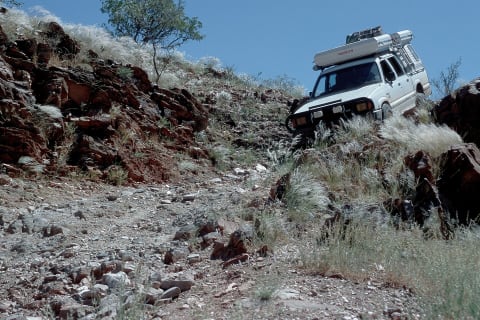 Extreme · 8/10
Van Zyl's Pass
Kaokoland, Namibia
6.1 mi · Built 4×4; descend west to east only
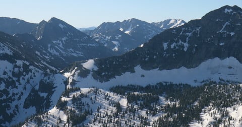 Easy · 2/10
Vermilion Pass Road (NF-367)
Thompson Falls / Cabinet Mountains, Montana
23.4 mi · High-clearance 2WD or 4x4 in dry conditions
 Easy · 2/10
Victory Road
Northeast Kingdom — Victory / Granby, Vermont
7 mi · High-clearance vehicle
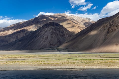 Moderate · 4/10
Wakhan Valley Road and Khargush Pass
Gorno-Badakhshan (GBAO), Tajikistan
180 mi · High-clearance 4x4
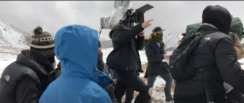 Moderate · 5/10
Wari La (Sakti to Agham)
Leh district (Sakti to Nubra/Shyok valley), Ladakh, India
39 mi · High-clearance 4x4 SUV in good condition; motorcycles common; not for low cars
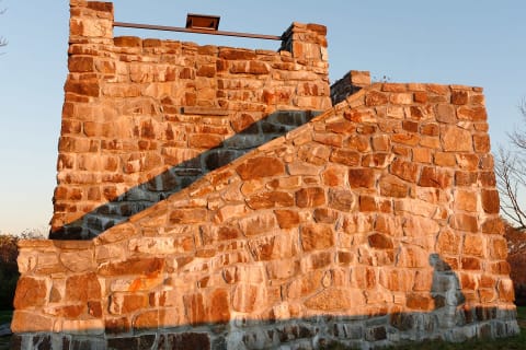 Easy · 2/10
Wayah Bald Road (Forest Road 69)
Franklin, Macon County, North Carolina
4.5 mi · High-clearance vehicles preferred; passenger cars manage it slowly when the road is dry
 Moderate · 5/10
Webster Pass
Montezuma / Hall Valley, Colorado
3.5 mi · High-clearance 4×4 with low range
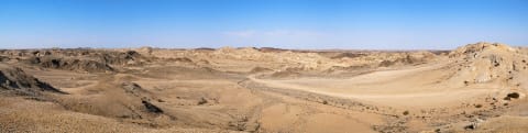 Easy · 2/10
Welwitschia Drive and Moon Landscape
Erongo (Namib-Naukluft National Park), Namibia
31 mi · Any high-clearance vehicle; 4x4 advised for the corrugations and river crossing
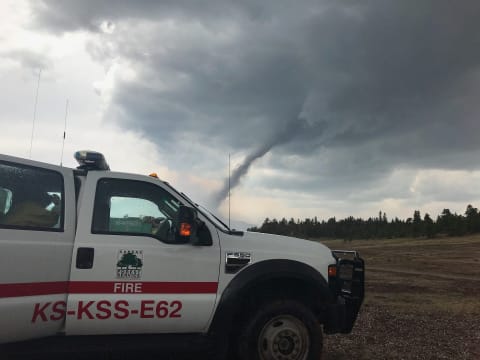 Easy · 2/10
Weston Pass
Fairplay / Leadville, Colorado
26 mi · High-clearance SUV or truck; the Leadville side is not maintained for low-clearance cars
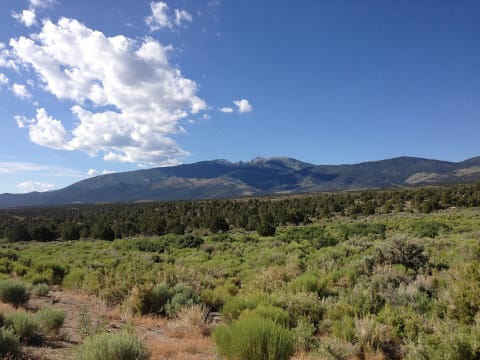 Moderate · 4/10
Wheeler Pass Road
Spring Mountains National Recreation Area, Clark County, Nevada
26 mi · High-clearance 4x4 SUV or pickup
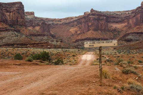 Moderate · 4/10
White Rim Road
Canyonlands — Island in the Sky, Utah
72 mi · High-clearance 4×4 with low range
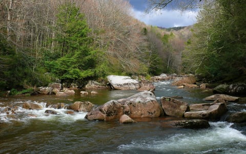 Easy · 1/10
Williams River Road (Forest Road 86)
Cowen / Marlinton, Webster & Pocahontas counties, West Virginia
20 mi · Any vehicle in normal conditions; high clearance is nice on unpaved sections
 Difficult · 6/10
Windrock Park
Oliver Springs, Tennessee
300 mi · Stock 4x4s handle the easy roads; difficult and extreme trails need lockers, armor and 33"+ tires
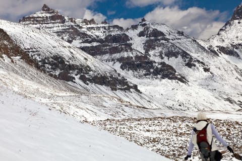 Easy · 3/10
Yankee Boy Basin
Ouray, Colorado
4.7 mi · High-clearance 4×4 (lower road suits most SUVs)
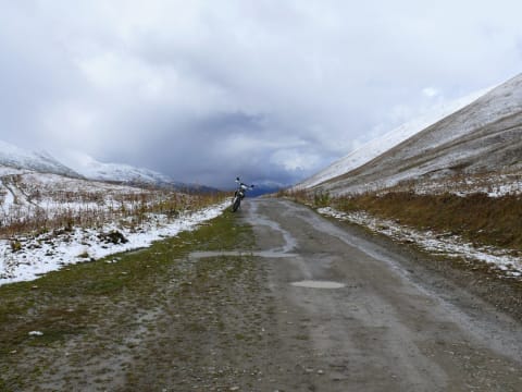 Easy · 3/10
Zagari Pass Road (Ushguli to Lentekhi)
Svaneti (Samegrelo-Zemo Svaneti / Racha-Lechkhumi and Kvemo Svaneti), Georgia
45 mi · High-clearance car or SUV; 4WD not required in dry conditions on the improved road.
 Easy · 1/10
Zealand Road
Twin Mountain, New Hampshire
3.5 mi · Most vehicles when open
 Difficult · 6/10
Zeka Spur Track to Wonnangatta Station
Alpine National Park, Wonnangatta Valley, Victorian High Country, Australia
20 mi · High-clearance 4WD with low range; trailers not recommended
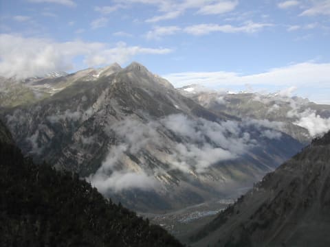 Moderate · 4/10
Zoji La (Sonamarg to Drass)
Ganderbal, Jammu & Kashmir / Kargil, Ladakh, India
39 mi · Any high-clearance vehicle; 4x4 helps in slush, snowmelt and early-season mud.
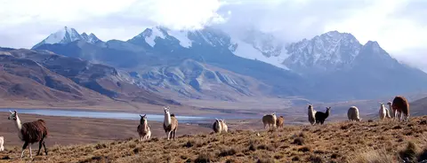 Moderate · 5/10
Zongo Valley Road (Ingenio – Milluni – Zongo)
Cordillera Real / Zongo Valley, Pedro Domingo Murillo Province, La Paz Department, Bolivia
35 mi · High-clearance 4x4; use 4LO engine braking on the descent
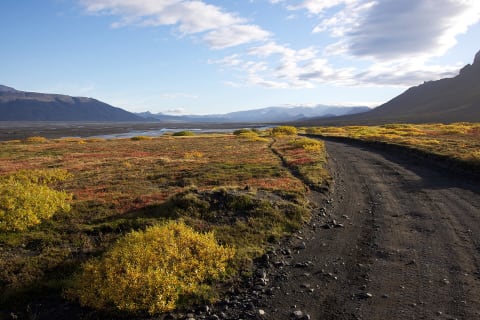 Difficult · 7/10
Þórsmörk road (F249)
Þórsmörk, Iceland
19 mi · Large, high-clearance 4×4 — the last fords are for experienced drivers only
Trail conditions, closures and rules change. Check with the land manager (forest or park service, local authority or landowner) before you go, stay on the trail, and travel with another vehicle. Ratings are a guide — your vehicle, the weather and recent damage can make a trail harder.