
Moremi South Gate to Third Bridge
Ngamiland (Moremi Game Reserve), Botswana
Sand tracks and mopane-pole bridges into the heart of the Okavango
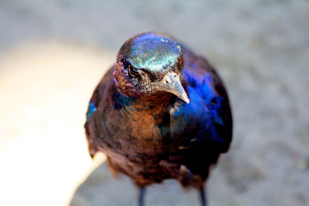
Photo: Rad Dougall / CC BY 3.0 / Wikimedia Commons
Nav gets you to the trailhead. On the trail, Follow trail shows the line and where you are on it — road directions don't work on dirt trails.
The line joins the trail's waypoints in straight lines — it shows the general route, not every turn.
From Moremi's South Gate (Maqwee) a sandy track runs about 58 km north-west through mopane woodland and floodplain, crossing First and Second Bridge to the famous log bridge and campsite at Third Bridge. The sand is moderate but slow, bridges and causeways change with the flood, and detours around closed crossings can be poorly signed. There is no fuel or food inside the reserve; fill up in Maun.
Waypoints
- 1South Gate (Maqwee)
Reserve entry, 99 km from Maun (namibweb). Coordinates from park4night South Gate Campsite listing.
-19.42500, 23.64490
- 2Second Bridge
Pole bridge on the First/Second Bridge route; coordinates from findlatitudeandlongitude.com. Check for detours if a bridge is closed.
-19.28287, 23.37558
- 3Third Bridge
Campsite at the log bridge; namibweb lists S19 14 20.21 E23 21 21.81. Crocodiles: do not swim, use the standpipe.
-19.23895, 23.35606