
Louis Lake Road (The Loop Road)
Lander / South Pass, Wyoming
Switchbacks out of Sinks Canyon to high Wind River lakes and South Pass
Photo: Tony Webster / CC BY 4.0 / Wikimedia Commons
Nav gets you to the trailhead. On the trail, Follow trail shows the line and where you are on it — road directions don't work on dirt trails.
The line joins the trail's waypoints in straight lines — it shows the general route, not every turn.
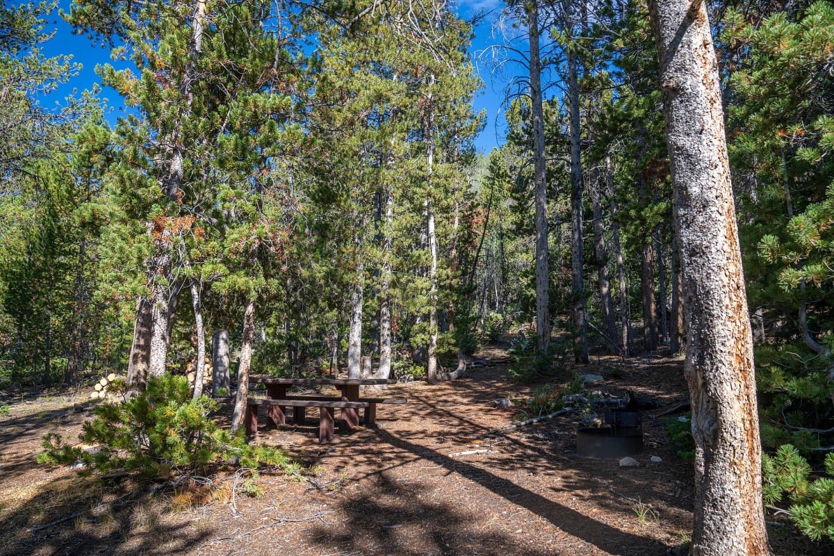
Locally called the Loop Road, Forest Road 300 climbs paved but guardrail-free switchbacks out of Sinks Canyon above Lander, then turns to gravel past the Worthen Meadow turnoff and rolls south through lodgepole and lake country to Louis Lake before dropping to WY-28 near South Pass City. It tops out around 9,600 ft and is passable to most vehicles, but expect heavy washboard and potholes; trailers over 24 ft are not allowed. Fiddlers and Louis Lake campgrounds sit along the way, and the road is closed by snow in winter.
Waypoints
- 1Sinks Canyon State Park (WY-131)
Wikipedia/Wikiwand 'Sinks Canyon State Park' coordinates 42°43'22"N 108°52'30"W; FR 300 begins a few miles past the park.
42.72278, -108.87500
- 2Worthen Meadow turnoff (end of pavement)
Worthen (Worten) Meadow Dam GNIS coordinates via topoquest.com; pavement ends just past the reservoir turnoff per Cowboy State Daily. Dam is a short spur off FR 300.
42.70662, -108.90234
- 3Fiddlers Lake Campground
Coordinates from campendium.com listing; accessed directly from Louis Lake Road.
42.62950, -108.88150
- 4Louis Lake Campground
Coordinates from outdoorithm.com listing; 7.5 miles north of WY-28 on FR 300.
42.59260, -108.84371
- 5South Pass City (via WY-28)
Wikipedia/Wikiwand 'South Pass City, Wyoming' 42°28'06"N 108°47'59"W; FR 300 meets WY-28 just before South Pass City.
42.46833, -108.79972