
Smith-Dorrien/Spray Trail
Kananaskis Country, Alberta, Canada
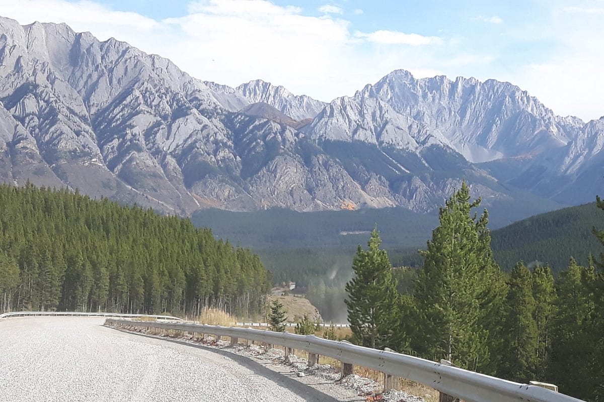
Dusty gravel mountain highway from Canmore over Smith-Dorrien Pass into Kananaskis
Photo: simpf / CC BY-SA 2.0 / Wikimedia Commons
Nav gets you to the trailhead. On the trail, Follow trail shows the line and where you are on it — road directions don't work on dirt trails.
The line joins the trail's waypoints in straight lines — it shows the general route, not every turn.
Alberta Highway 742 leaves Canmore on a narrow, steep, winding grade and then runs about 70 km of gravel past the Spray Lakes Reservoir, between the Goat Range and the Three Sisters, before topping out near 1,909 m at Smith-Dorrien Pass and dropping to Kananaskis Trail (Highway 40) by Peter Lougheed Provincial Park. Expect washboard, heavy dust that can crack windshields, moose and no cell service; any ordinary car handles it in dry weather.
Waypoints
- 1Canmore
Town coordinates 51°05′01″N 115°22′05″W from Wikipedia (via Wikiwand) Canmore, Alberta article; Highway 742 starts just south of town
51.08360, -115.36810
- 2Spray Lakes Reservoir
Reservoir coordinates 50°54′42″N 115°20′22″W from Wikipedia Spray Lakes Reservoir article; Highway 742 runs along its northern part
50.91167, -115.33944
- 3Peter Lougheed Provincial Park (Kananaskis Trail / Hwy 40)
Park infobox coordinates 50°41′58″N 115°11′16″W from Wikipedia Peter Lougheed Provincial Park article; approximate south end where 742 meets the Kananaskis Lakes area
50.69944, -115.18778