
Salar del Huasco Altiplano Road
Pica commune, Tarapacá Region, Chile
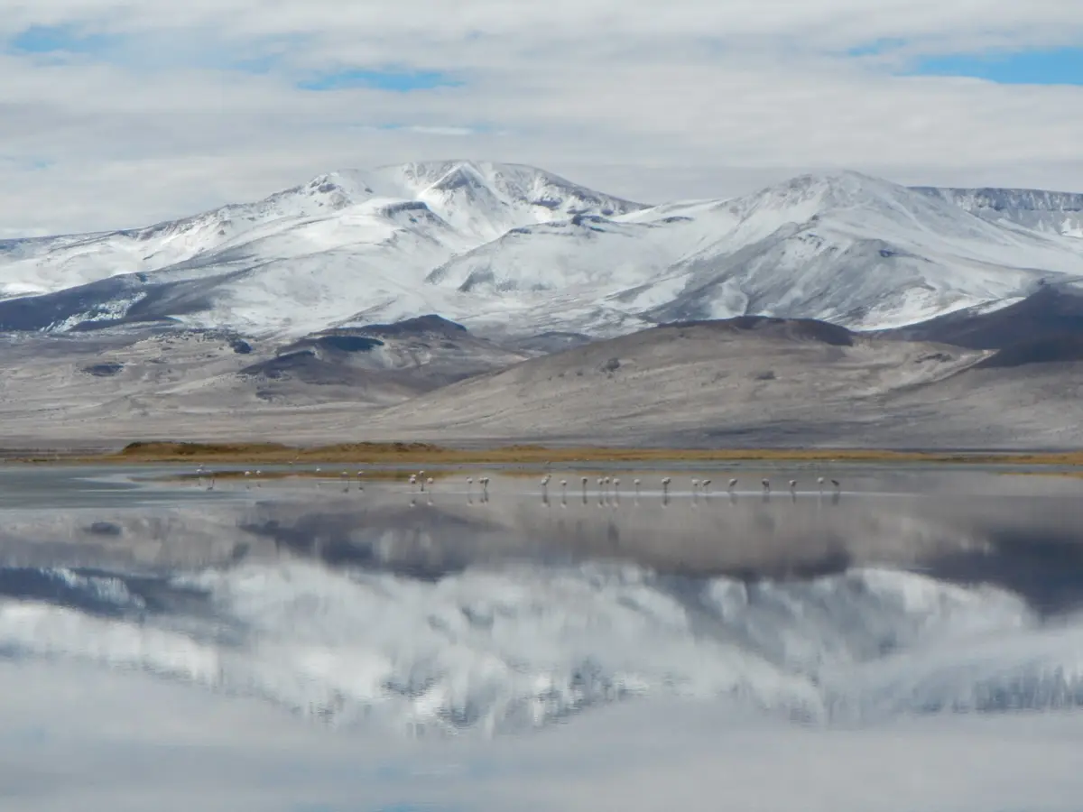
Flamingos and 3,800 m salt flats on dirt above the Pica oasis
Photo: Jfbustos / CC BY-SA 3.0 / Wikimedia Commons
Nav gets you to the trailhead. On the trail, Follow trail shows the line and where you are on it — road directions don't work on dirt trails.
The line joins the trail's waypoints in straight lines — it shows the general route, not every turn.
From the oasis town of Pica, roads climb onto the Tarapacá altiplano to Salar del Huasco, a Ramsar wetland and national park at about 3,800 m with flamingos and vicuñas, then follow the Collacagua valley north. The final approaches are gravel (A-675) with sandy patches and no services or phone coverage. Altitude sickness, cold nights and strong sun are the main hazards; carry fuel and water from Pica.
Waypoints
- 1Pica
Town coordinates from the Wikipedia article 'Pica, Chile' (IPFS mirror); 1,106 m. Last fuel.
-20.48917, -69.32944
- 2Salar del Huasco
Salar coordinates (20°18'S 68°51'W) from the Wikipedia article 'Salar del Huasco'; ~3,770 m.
-20.30000, -68.85000
- 3Collacagua
Converted from 20°02'21"S 68°49'47"W on the Wikipedia article 'Collacagua' (wikiwand); hamlet in the Collacagua valley 86 km from Pica.
-20.03917, -68.82972