
All trails
Difficult · 7/10
Charouleau Gap
Tucson / Oracle, Arizona
A rugged route through the Santa Catalinas north of Tucson.
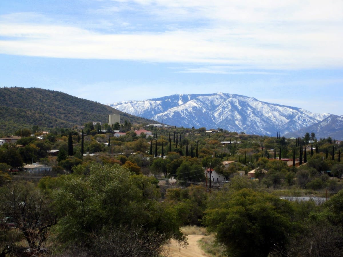
Photo: Representative photo, not this location (Ivgotit / CC BY-SA 3.0 / Wikimedia Commons)
Nav gets you to the trailhead. On the trail, Follow trail shows the line and where you are on it — road directions don't work on dirt trails.
Length
18 mi
Time
6 hr
Difficulty
7/10 · Difficult
Managed by
Coronado National Forest
Trail line © OpenStreetMap contributors (ODbL).
Charouleau Gap crosses the northern Santa Catalina Mountains between the Tucson area and Oracle on a rough route with rocky climbs, ledges and the steep Gunsight area. It is a well-known southern Arizona trail for modified rigs.
Waypoints
- 1Start of Charouleau Gap Road
32.60078, -110.77243
- 2Charouleau Gap Road, about 5 mi in
32.55864, -110.78298
- 3Charouleau Gap Road, about 9 mi in
32.52029, -110.78618
- 4Charouleau Gap Road, about 14 mi in
32.51554, -110.83098
- 5End of Charouleau Gap Road
32.52057, -110.88518