
All trails
Easy · 2/10
Gravelly Range Road
Ennis / Virginia City, Montana
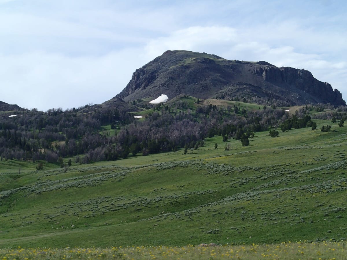
A high, open ridge road with huge views over southwest Montana.
Photo: Mike Cline / CC BY-SA 3.0 / Wikimedia Commons
Nav gets you to the trailhead. On the trail, Follow trail shows the line and where you are on it — road directions don't work on dirt trails.
Length
45 mi
Time
3 hr
Difficulty
2/10 · Easy
Managed by
Beaverhead-Deerlodge National Forest
Trail line © OpenStreetMap contributors (ODbL).
The Gravelly Range Road runs along the crest of the Gravelly Range at high elevation through open grassland and wildflower meadows, with views of the Madison and Tobacco Root ranges. It is a long, remote dirt road that becomes slick and rutted when wet.
Waypoints
- 1Start of Gravelly Range Road
44.69987, -111.90553
- 2Gravelly Range Road, about 11 mi in
44.81257, -111.88743
- 3Gravelly Range Road, about 22 mi in
44.93014, -111.83580
- 4Gravelly Range Road, about 34 mi in
45.05356, -111.83997
- 5End of Gravelly Range Road
45.17408, -111.88520