
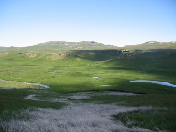
Ramatseliso's Gate to Sehlabathebe
Qacha's Nek District, Lesotho
Rocky border climb onto Lesotho's remote World Heritage plateau
Photo: Luke N. Vargas Dontexpect / Public domain / Wikimedia Commons
Nav gets you to the trailhead. On the trail, Follow trail shows the line and where you are on it — road directions don't work on dirt trails.
The line joins the trail's waypoints in straight lines — it shows the general route, not every turn.
This route enters Lesotho at the small Ramatseliso's Gate border post above Matatiele and follows the A4 gravel road north-east to Sehlabathebe National Park, part of the Maloti-Drakensberg World Heritage Site. The climb from the border is steep with loose rock, and trip reports call it only slightly easier than Sani Pass. The border post has historically closed mid-afternoon (around 15:00), so plan to cross early.
Waypoints
- 1Ramatseliso's Gate border post
Wilddog forum trip report: 'Go into Lesotho via Ramatseliso's Gate S30 02.968 E28 55.981'.
-30.04947, 28.93302
- 2Ha Edward
Wilddog forum trip report: Ha Edward S29 53.901 E29 02.990 (left turn here leads to Matebeng Pass; continue for Sehlabathebe).
-29.89835, 29.04983
- 3Sehlabathebe National Park
Wikipedia (Sehlabathebe National Park) 29°53′56″S 29°07′16″E.
-29.89889, 29.12111