
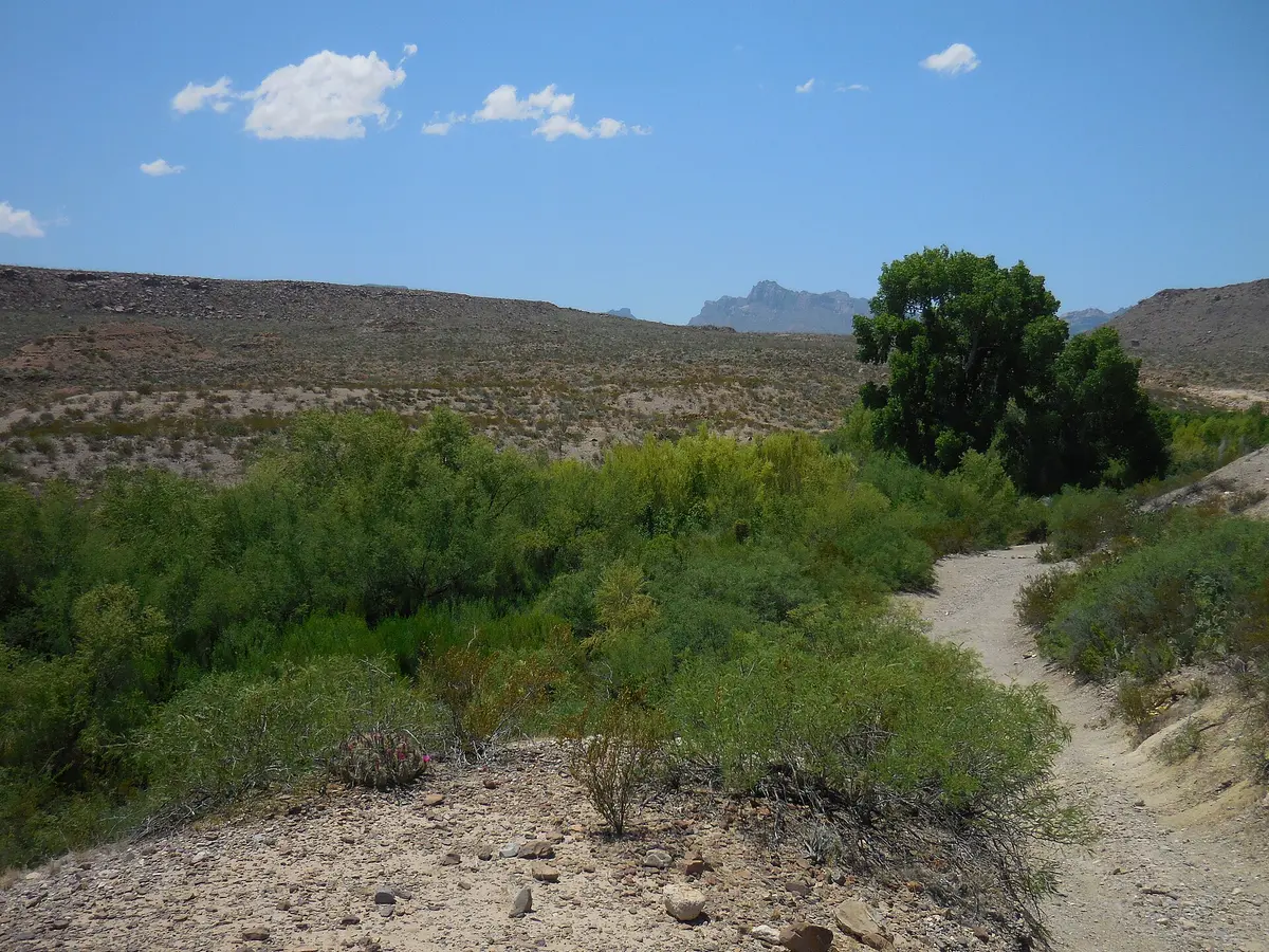
Black Gap Road (Big Bend National Park)
Big Bend National Park, Brewster County, Texas
Unmaintained 4WD link through the Black Gap between Glenn Springs and River Road
Photo: NPS / Public domain / Wikimedia Commons
Nav gets you to the trailhead. On the trail, Follow trail shows the line and where you are on it — road directions don't work on dirt trails.
The line joins the trail's waypoints in straight lines — it shows the general route, not every turn.
Black Gap Road runs 8.5 miles from Glenn Springs Road south to River Road, crossing a creek, open badlands and the shoulder of Talley Mountain beneath the Elephant Tusk spire. The NPS calls it extremely rough and unmaintained, with 4WD required at all times; the namesake gap has a ledge of about two feet that visitors have built up with stacked rock. The southern few miles toward River Road are smoother and reach the Elephant Tusk campsite.
Waypoints
- 1Black Gap Road north end (Glenn Springs Road)
Start coordinates from MTB Project. Leaves Glenn Springs Road near the Glenn Springs historic site; creek crossing right away.
29.17520, -103.15661
- 2Elephant Tusk roadside campsite
Coordinates from The Dyrt. About 3 miles north of the River Road junction (NPS); the rough, unmaintained section and the gap are north of here.
29.12688, -103.20703
- 3River Road at Mariscal Mine
Wikipedia coordinates for Mariscal Mine. Black Gap Road ends at a T-junction with River Road (onX); turn east a short way to the mine ruins.
29.09500, -103.18694