
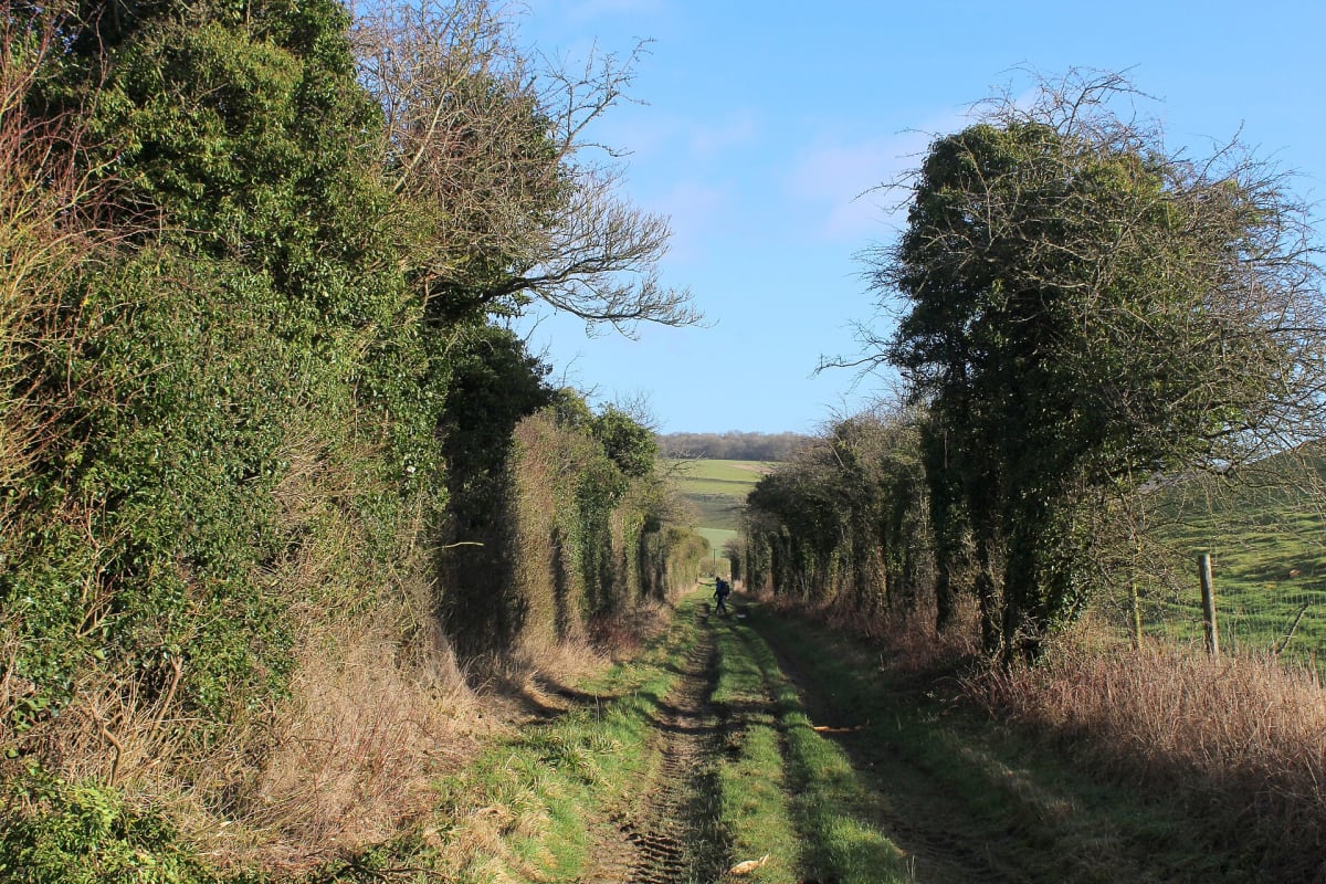
Ox Drove (Win Green to Middleton Down)
Cranborne Chase, south Wiltshire, United Kingdom
Ancient drovers' byway along the Cranborne Chase ridge
Photo: Chris Heaton / CC BY-SA 2.0 / Wikimedia Commons
Nav gets you to the trailhead. On the trail, Follow trail shows the line and where you are on it — road directions don't work on dirt trails.
The line joins the trail's waypoints in straight lines — it shows the general route, not every turn.
The Ox Drove follows the chalk ridge south of the Ebble valley from Win Green, the highest point on Cranborne Chase at 277 m, east past Woodminton Down and Marleycombe Hill to Middleton Down above Broad Chalke. It is mapped as a Byway Open to All Traffic, with a dirt-and-flint surface. The Great Chalk Way guide describes it as deeply rutted and often muddy or flooded in winter. Expect long views and grazing stock, and in a few places the route joins short lengths of lane.
Waypoints
- 1Win Green (277 m)
Wikipedia Win Green Down 50°59′08″N 2°06′29″W; the Ox Drove ends near the copse on Win Green (Great Chalk Way).
50.98560, -2.10810
- 2Woodminton Down (tarmac road crossing)
britishplacenames.uk Woodminton Down 50°59′39″N 1°59′55″W (SU001216); the Ox Drove meets a tarmac road here (Great Chalk Way).
50.99420, -1.99860
- 3Marleycombe Hill
ancientmonuments.uk Marleycombe Hill earthworks 51.0022, -1.9667 (SU024225); about 900 m north of the drove at SU023216.
51.00220, -1.96670
- 4Middleton Down reserve parking, Ox Drove
Wiltshire Wildlife Trust Middleton Down 51.005352707384, -1.9326564788989 (SU047238); address 'Ox Drove, Wilton SP5 5DT'.
51.00535, -1.93266