
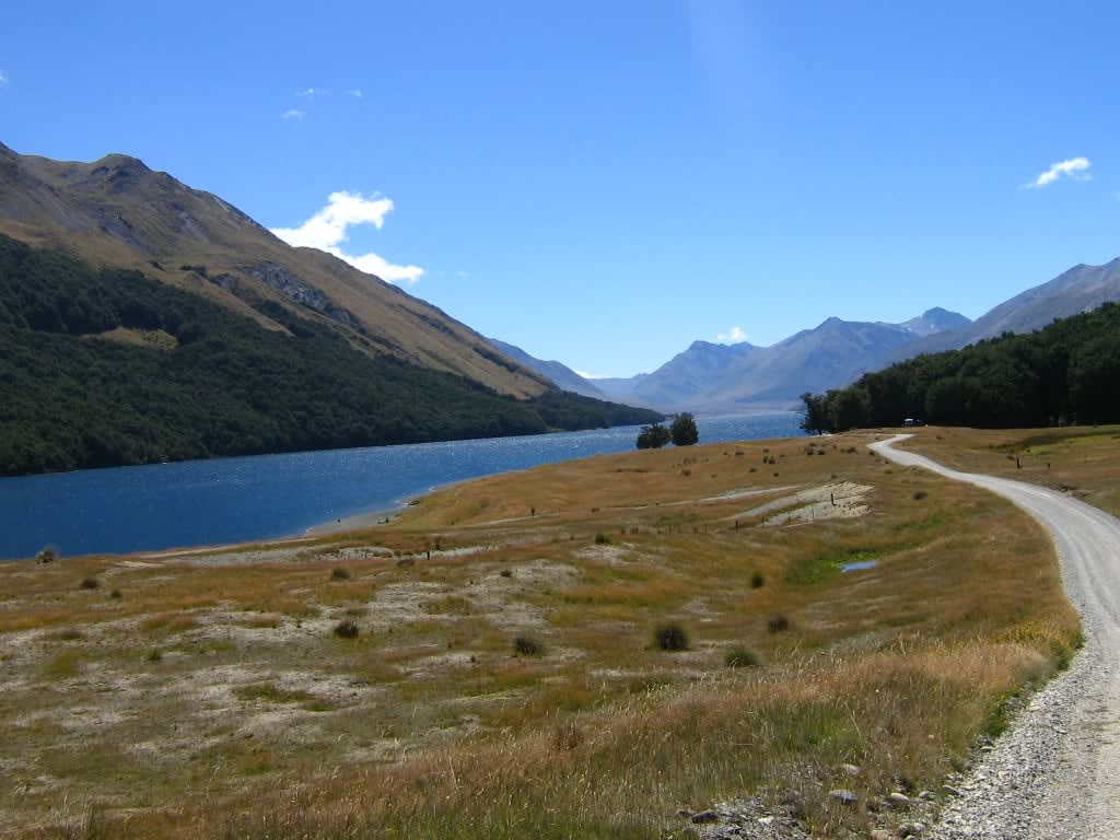
Mavora Lakes Road
Mavora Lakes Conservation Park, Southland, New Zealand
Southland high-country gravel to a pair of mountain lakes.
Photo: nova viator / CC BY-SA 2.0 / Wikimedia Commons
Nav gets you to the trailhead. On the trail, Follow trail shows the line and where you are on it — road directions don't work on dirt trails.
The line joins the trail's waypoints in straight lines — it shows the general route, not every turn.
From State Highway 94 between Mossburn and Te Anau, about 39 km of unsealed road runs up the Mararoa valley through tussock high country to the Mavora Lakes Conservation Park. Beyond the DOC campsite, a gated 4WD track follows the shore of North Mavora Lake for about 10 km to Careys Hut. Vehicles are not allowed past Boundary and Forks huts.
Waypoints
- 1Mossburn (SH94)
Wikipedia infobox for Mossburn. The gravel starts at the Centre Hill or Burwood turnoffs west of town on SH94 (no verified coordinate for the turnoffs).
-45.66700, 168.25000
- 2Mavora Lakes Campsite
DOC campsite page (lat/long given). Reached after 39 km of gravel from SH94.
-45.26801, 168.17500
- 3North Mavora Lake
Wikipedia Mavora Lakes infobox (North Mavora Lake). The gated 4WD track follows its shore.
-45.25556, 168.16806
- 4Careys Hut
OpenTrails Careys Hut page (map-link coordinate, possibly map centre). End of the vehicle-suitable track, about 10 km from the campsite.
-45.18835, 168.16464