
Twin Lakes Road (FR 3065)
Mount Baker Highway / Glacier, Whatcom County, Washington
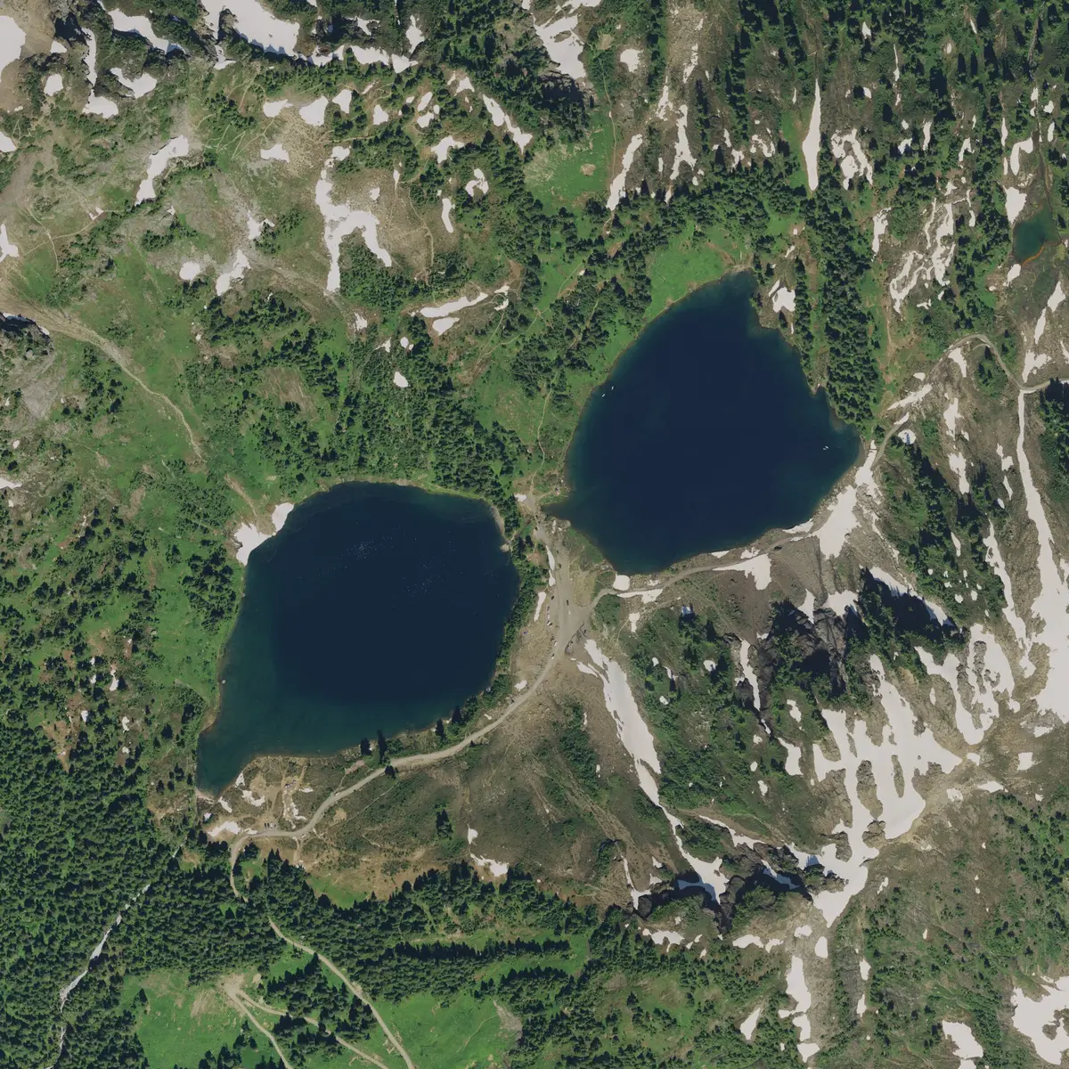
Rough old mining road to a pair of alpine lakes under Winchester Mountain
Photo: NOAA Office for Coastal Management / The USDA-FSA Aerial Photography Field office (crediting while reuse is desired as C / Public domain / Wikimedia Commons
Nav gets you to the trailhead. On the trail, Follow trail shows the line and where you are on it — road directions don't work on dirt trails.
The line joins the trail's waypoints in straight lines — it shows the general route, not every turn.
Twin Lakes Road leaves the Mount Baker Highway at the old Shuksan maintenance station and climbs 4.5 miles of rough gravel to the Yellow Aster Butte / Tomyhoi Lake trailhead. Past that point the Forest Service stops maintaining it: the last couple of miles are a narrow, rutted gold-rush mining road with tight switchbacks, few pullouts and a steep drop on one side, ending at about 5,200 ft beside the Twin Lakes in the Mount Baker Wilderness. Mining trucks can use the road in summer.
Waypoints
- 1Shuksan (SR 542 / FR 3065 junction)
Wikipedia coordinates for Shuksan, which sits at the SR 542 / FR 3065 (Twin Lakes Road) intersection; the road starts at the east end of the WSDOT maintenance facility about 12 miles east of Glacier.
48.90861, -121.69778
- 2Yellow Aster Butte / Tomyhoi Lake Trailhead
WTA trailhead coordinates, 4.5 miles up FR 3065. End of Forest Service maintenance; the road beyond is narrow with few pullouts.
48.94350, -121.66250
- 3Twin Lakes
Wikipedia coordinates for Twin Lakes (about 5,170 ft), roughly 6.5–7 miles from the highway. Campsites; Winchester Mountain Lookout trail starts here.
48.95121, -121.63838