
Cederberg Road via Uitkyk Pass
Cederberg, Western Cape, South Africa
Classic Cederberg traverse from Clanwilliam over the Uitkyk Pass to Op-die-Berg
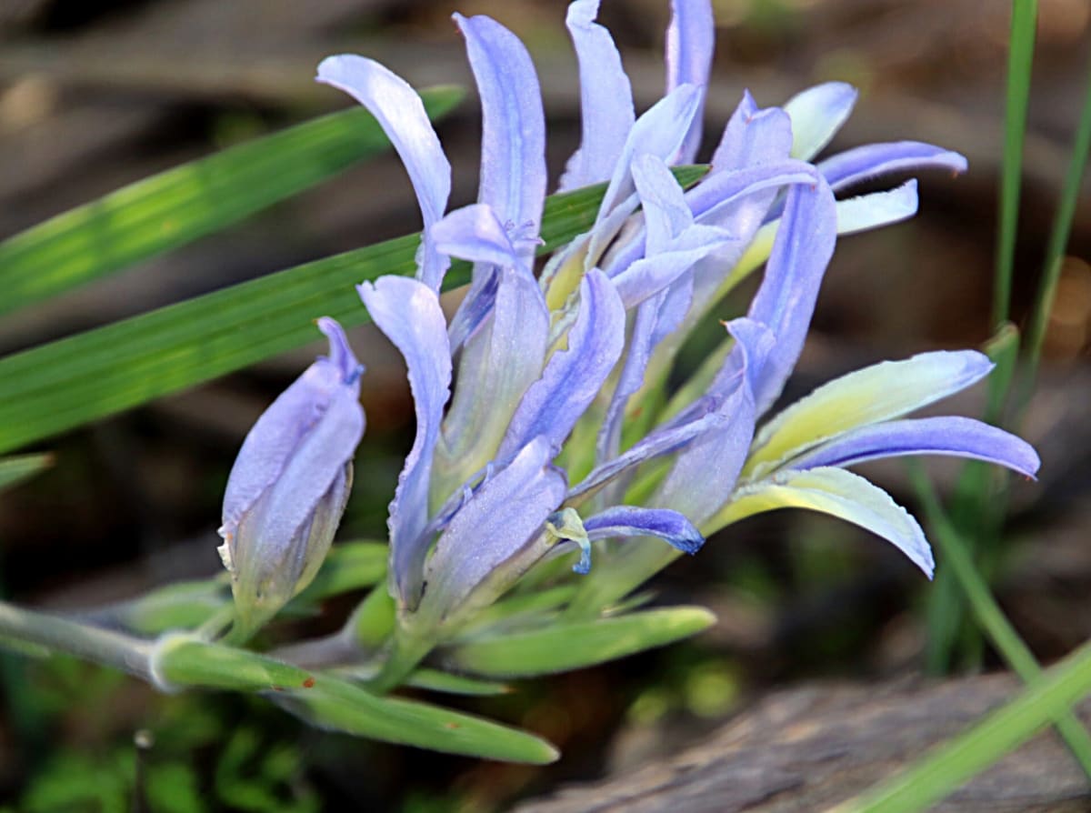
Photo: Representative photo, not this location (Tony Rebelo, South Africa / CC BY-SA 4.0 / Wikimedia Commons)
Nav gets you to the trailhead. On the trail, Follow trail shows the line and where you are on it — road directions don't work on dirt trails.
The line joins the trail's waypoints in straight lines — it shows the general route, not every turn.
This long Cederberg traverse runs from Clanwilliam over the Uitkyk (Cederberg) Pass at about 1,022 m and on through the Cederberg Wilderness to Op-die-Berg in the Koue Bokkeveld. The western side was paved in 2019, but the road east of the summit is still gravel, with ramps of up to 12%. It passes Algeria and the Cederberg Oasis area.
Waypoints
- 1Clanwilliam
First route point from the dangerousroads.org Uitkyk Pass map embed (Clanwilliam end)
-32.17547, 18.89269
- 2Algeria area
Second route point from the dangerousroads.org map embed, near Algeria at the foot of the pass
-32.35668, 19.04293
- 3Uitkyk (Cederberg) Pass summit
'Cederberg Pass' coordinate from the wilddog.net.za GPS list (dangerousroads.org gives Cederberg Pass as another name for Uitkyk); about 1,022 m
-32.40372, 19.09228
- 4Cederberg Oasis / Matjiesrivier area
Third route point from the dangerousroads.org map embed; next to the Cederberg Oasis point on the Eselbank page
-32.55432, 19.36072
- 5Southern gravel section
Fourth route point from the dangerousroads.org map embed
-32.91994, 19.45596
- 6Op-die-Berg
Final route point from the dangerousroads.org map embed (Op-die-Berg end)
-33.01210, 19.31552