
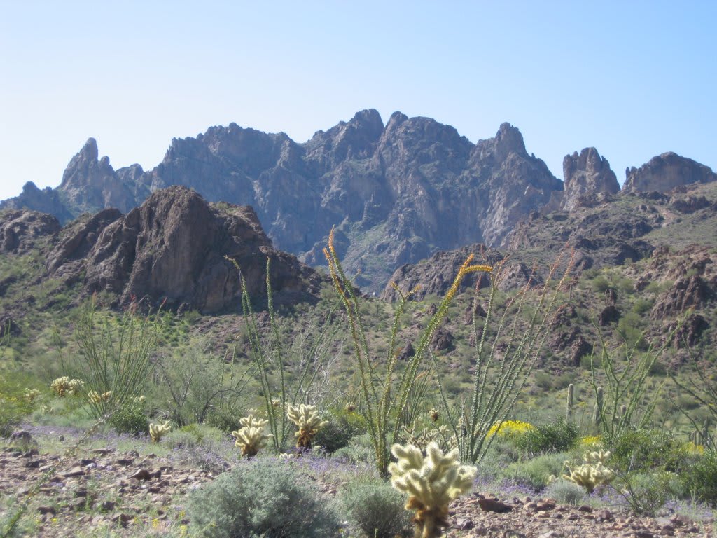
Kofa Queen Canyon
Quartzsite / Kofa NWR, Arizona
Sandy wash drive into the Kofa Mountains past Skull Rock to an old mine
Photo: Spirituscanis / CC BY-SA 3.0 / Wikimedia Commons
Nav gets you to the trailhead. On the trail, Follow trail shows the line and where you are on it — road directions don't work on dirt trails.
The line joins the trail's waypoints in straight lines — it shows the general route, not every turn.
This route branches off Palm Canyon Road in Kofa National Wildlife Refuge and follows a wide, sandy wash into the Kofa Mountains. Along the way are natural arches, the Skull Rock formation and plenty of dispersed campsites, and it ends at the stone walls and shafts of the Kofa Queen Mine. Shifting boulders in the canyon section can make it harder after storms, and bighorn sheep are often seen on the cliffs.
Waypoints
- 1Kofa Queen Canyon mouth (dispersed camping)
Coordinates per Campendium 'Kofa Queen Canyon' listing. Reach it from US 95 (MP 85) via Palm Canyon Road; the Kofa Queen fork is at the refuge entrance about 3.3 mi in (azoffroad.net).
33.38530, -114.10250
- 2Kofa Queen Canyon Peaks hiking trailhead
Coordinates per stavislost.com 'Kofa Queen Canyon Peaks' trailhead on Kofa Queen Canyon Road.
33.38182, -114.08610
- 3Skull Rock
Coordinates per Campendium reviewer note on the Kofa Queen Canyon listing.
33.37538, -114.06935
- 4Kofa Queen Mine
Coordinates per TopoQuest GNIS 'Kofa Queen Mine'. Only shafts and stone walls remain; stay out of the workings.
33.36059, -114.04160