
Vermilion Pass Road (NF-367)
Thompson Falls / Cabinet Mountains, Montana
Hairpin-laced gravel pass over the Cabinet Mountains
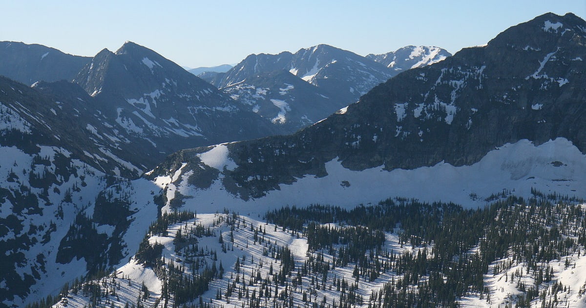
Photo: Representative photo, not this location (Jared Shear / CC BY 2.0 / Wikimedia Commons)
Nav gets you to the trailhead. On the trail, Follow trail shows the line and where you are on it — road directions don't work on dirt trails.
The line joins the trail's waypoints in straight lines — it shows the general route, not every turn.
A long, entirely unpaved Forest Service road through the Cabinet Mountains north of Thompson Falls, crossing Vermilion Pass at about 6,030 ft. Expect steep pitches, a lot of curves and around 15 sharp hairpins on a narrow forest road with no services. It is a quiet, scenic backcountry link rather than a technical trail, but it is not plowed and gets snowed in.
Waypoints
- 1South end (Vermilion Creek side)
Route waypoint 1 in the dangerousroads.org embedded route map.
47.68758, -115.40593
- 2Southern approach
Route waypoint 2 in the dangerousroads.org map.
47.75997, -115.30822
- 3Vermilion Pass (6,033 ft)
USGS GNIS gap position via topozone.
47.76716, -115.31766
- 4Northern descent
Route waypoint 3 in the dangerousroads.org map.
47.81464, -115.29804
- 5North end of route
Route waypoint 4 (last) in the dangerousroads.org map.
47.87123, -115.31111