
Where the pavement ends
4×4 and Jeep trails rated 1–10, with what each one takes, when it's open and who manages it. Drive to the trailhead with Nav, then follow the trail line on the map.
 Moderate · 5/10
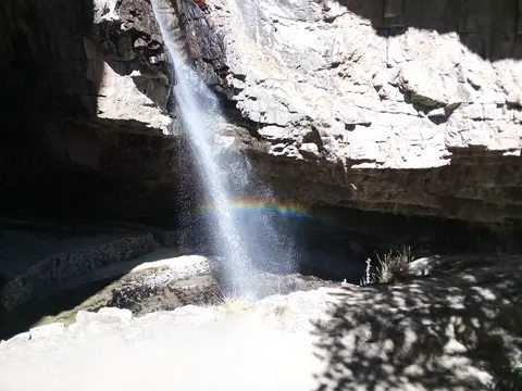
Abra Huayta: Orcopampa to Caylloma
Castilla & Caylloma provinces, Arequipa Region, Peru
61 mi · High-clearance 4x4 with low range, well acclimatised driver
 Moderate · 4/10
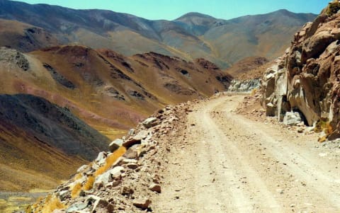
Abra del Acay (Ruta 40)
Salta Province, Puna / Valles Calchaquíes, Argentina
83 mi · High-clearance 4x4 recommended; turbo engines cope far better with the thin air
 Moderate · 4/10
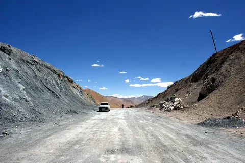
Ak-Baital Pass on the Pamir Highway (Karakul to Murghab)
Murghob District, Gorno-Badakhshan Autonomous Region, Tajikistan
78 mi · High-clearance 4x4; well-tuned engine for the altitude
 Moderate · 4/10
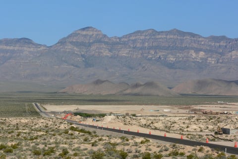
Alamo Road
Desert National Wildlife Refuge, Clark and Lincoln Counties, Nevada
70 mi · High-clearance 4x4
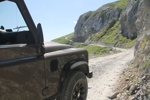 Moderate · 4/10
Alta Via del Sale (Limone–Monesi)
Ligurian Alps, Piedmont/Liguria (Italy–France border), Italy
19 mi · High-clearance 4x4 recommended; weight limits posted at the entrance
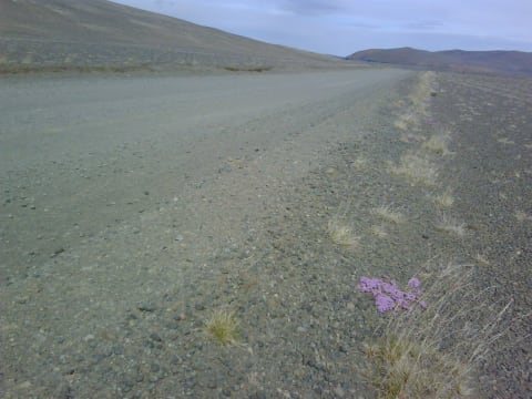 Moderate · 5/10
Askja road (F88)
Vatnajökull National Park — Askja, Iceland
99 mi · 4×4 with high clearance; river fords
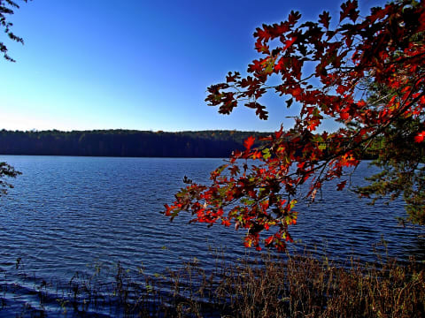 Moderate · 5/10
Badin Lake OHV Trail Complex
Troy / Eldorado, Montgomery County, North Carolina
17 mi · Stock 4x4 for the easy trails; lifted, locked rigs with armor for Dutch John, Dickey Bell, and Daniel
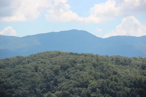 Moderate · 4/10
Bald River Road (FR 126) & Waucheesi Mountain
Tellico Ranger District, Cherokee National Forest, Monroe County, Tennessee
9.6 mi · High clearance; 4WD or low range helpful on the steep summit spur. Street-legal, licensed vehicles only
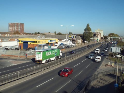 Moderate · 5/10
Bastervoetpad Pass
Elliot-Ugie, Eastern Cape, South Africa
30 mi · 4x4 with low range and high ground clearance required
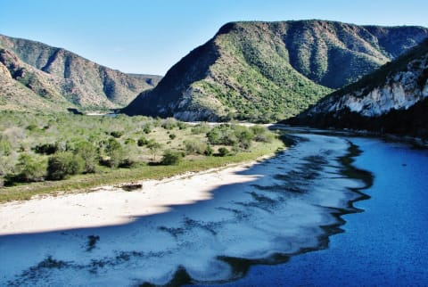 Moderate · 4/10
Baviaanskloof Road (Nuwekloof to Patensie)
Baviaanskloof, Eastern Cape, South Africa
105 mi · High-clearance 4x4 strongly encouraged inside the wilderness area; no trailers on Holgat Pass
 Moderate · 4/10
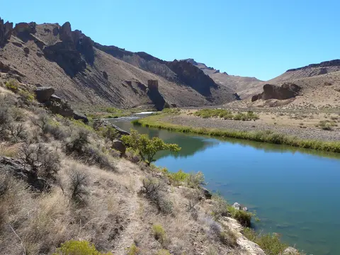
Birch Creek Road to Birch Creek Historic Ranch
Owyhee Canyonlands, Malheur County, Oregon
6 mi · High-clearance 4x4 with low range; trailers limited to 16 ft
 Moderate · 4/10
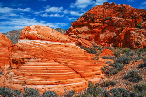
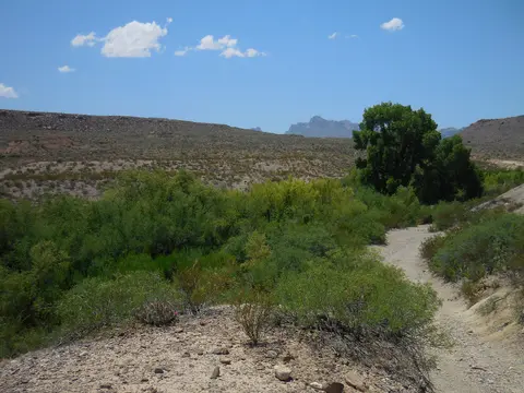
Bitter Springs Backcountry Byway
Muddy Mountains / Lake Mead (Overton–Las Vegas), Nevada
27 mi · High-clearance 4WD with good tires for rock and deep sand
 Moderate · 5/10
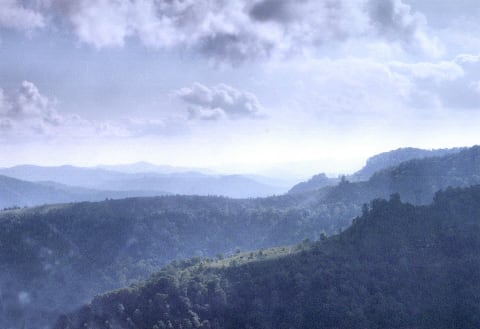
Black Gap Road (Big Bend National Park)
Big Bend National Park, Brewster County, Texas
8.5 mi · Street-legal high-clearance 4x4 with low range; small AWD crossovers will scrape or hang up
 Moderate · 4/10
Black Mountain Off-Road Adventure Area
Evarts / Harlan, Kentucky
150 mi · Registered stock 4x4 with good tires; some steep, rutted climbs
 Moderate · 4/10
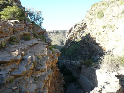
Blue Slide Road (NF-1020), Ahtanum
Ahtanum State Forest, west of Yakima / Tampico, Washington
14 mi · High-clearance 4x4
 Moderate · 4/10
Bosluiskloof Pass
Klein Karoo, Western Cape, South Africa
14.9 mi · High-clearance 4x4 recommended; steep loose sections and no services
 Moderate · 5/10
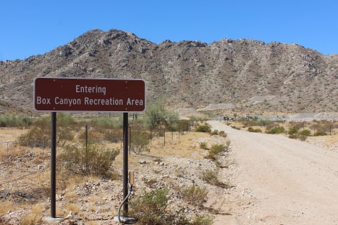
Box Canyon (Florence)
Florence Junction area, Pinal County, Arizona
High-clearance 4WD
 Moderate · 4/10
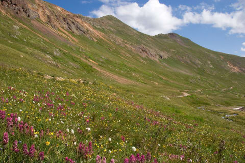
California Gulch
Animas Forks / Silverton, Colorado
5 mi · High-clearance 4×4 with low range
 Moderate · 4/10
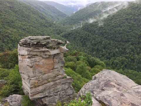
Canaan Loop Road
Canaan Mountain / Davis, West Virginia
14.5 mi · High-clearance 4x4; stock rigs on 33s get through with some pinstriping
 Moderate · 5/10
Carlisleshoekspruit Pass
Rhodes, Eastern Cape, South Africa
13 mi · 4x4 with low range recommended; normal cars only in stable dry conditions
 Moderate · 4/10
Central Kalahari: Deception Valley to Piper Pan
Ghanzi / Central District (Central Kalahari Game Reserve), Botswana
130 mi · 4x4 with low range; long-range fuel and water tanks
 Moderate · 4/10
Chacaltaya Road (Ruta Chacaltaya)
Cordillera Real, Pedro Domingo Murillo Province, La Paz Department, Bolivia
22 mi · High-clearance 4x4 with good brakes; low range helps on the steep upper ramps
 Moderate · 4/10
Cherry Creek Road (FR 203)
Sierra Ancha, between Globe and Young, Arizona
22 mi · High-clearance 4WD with full-size spare
 Moderate · 4/10
Cinnamon Pass
Silverton / Lake City (Alpine Loop), Colorado
20 mi · High-clearance 4×4 with low range
 Moderate · 5/10
Cirque de Jaffar Piste (Tounfit to Midelt)
Midelt Province, Drâa-Tafilalet (Eastern High Atlas), Morocco
42 mi · Normal-sized high-clearance 4x4; slow going
 Moderate · 4/10
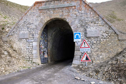
Col du Parpaillon
Embrun / Ubaye valley, France
7.1 mi · High-clearance vehicle; 4×4 helps
 Moderate · 4/10
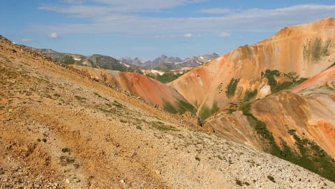
Corkscrew Gulch
Red Mountain / Ouray, Colorado
4.5 mi · High-clearance 4×4 with low range
 Moderate · 4/10
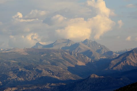
Coyote Flat Road
Bishop / Eastern Sierra, California
8.6 mi · Stock high-clearance 4x4
 Moderate · 4/10
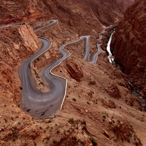
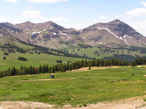
Dadès Gorges to Agoudal (R704 over Jebel Ouamenzri)
Tinghir Province, Drâa-Tafilalet (Central High Atlas), Morocco
76 mi · High-clearance 4x4; the paved lower gorge suits any car but the upper piste does not
 Moderate · 5/10
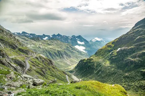
Daisy Pass & Lulu Pass Road
Cooke City, Montana
5 mi · High-clearance 4x4 or side-by-side
 Moderate · 4/10
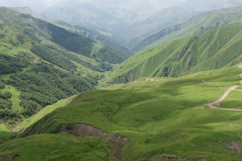
Darland Mountain via Middle Fork Ahtanum Road
Ahtanum State Forest, west of Yakima, Washington
10 mi · High-clearance 4x4 for the last 2 miles above Clover Flats; most vehicles can reach Clover Flats
 Moderate · 5/10
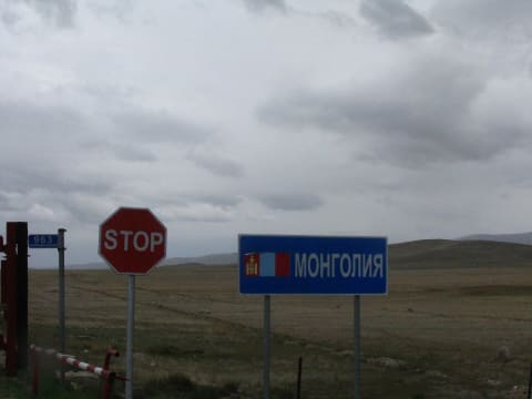
Datvisjvari Pass to Shatili (Barisakho–Shatili–Mutso)
Khevsureti, Dusheti Municipality, Mtskheta-Mtianeti, Georgia
38 mi · 4x4 with high clearance.
 Moderate · 5/10
Delüün to Bulgan Altai Road
Bayan-Ölgii Province, Mongolia
78 mi · High-clearance 4x4 (mandatory)
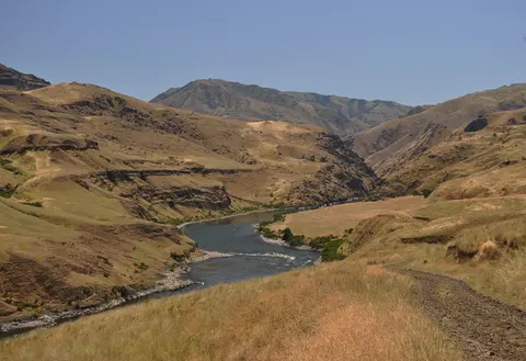 Moderate · 4/10
Dug Bar Road (Forest Road 4260)
Imnaha / Hells Canyon, Wallowa County, Oregon
31 mi · High-clearance 4x4; narrow single lane with steep grades, no trailers
 Moderate · 4/10
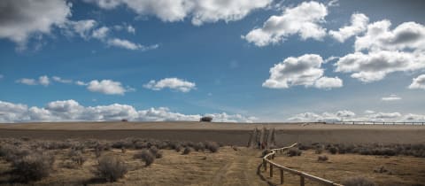
East Fort Rock OHV Trail System
Bend-Fort Rock Ranger District, southeast of Bend / east of La Pine, Deschutes County, Oregon
15 mi · ATV, UTV, dirt bike; 4x4 on designated routes
 Moderate · 4/10
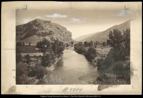
Echo Canyon Road (Inyo Mine)
Death Valley National Park (Furnace Creek), California
9.5 mi · High clearance for the first ~3 miles; 4WD beyond. Street-legal vehicles only
 Moderate · 4/10
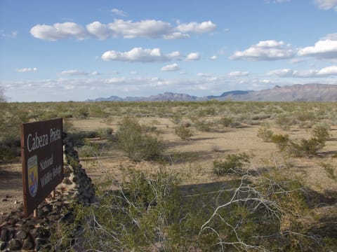
El Camino del Diablo
Ajo / Yuma, Arizona
131 mi · High-clearance 4WD required; groups of 4 vehicles max; no trailers
 Moderate · 4/10
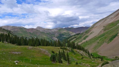
Engineer Pass
Ouray / Lake City, Colorado
30 mi · High-clearance 4×4 with low range (the Ouray side is the rough part)
 Moderate · 5/10
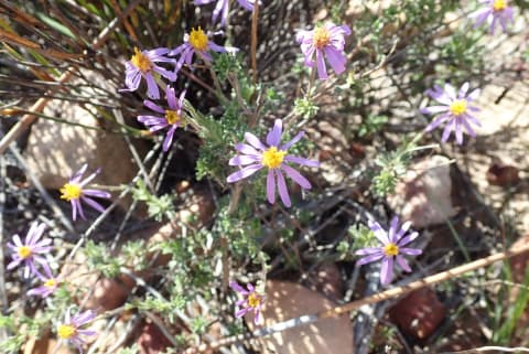
Eselbank Pass (Kerskop Pass)
Cederberg, Western Cape, South Africa
24.6 mi · 4x4 with low range and good clearance; not for normal cars
 Moderate · 4/10
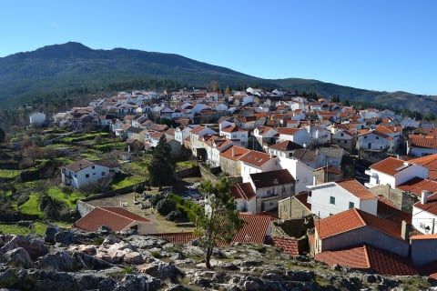
Estradão da Santinha (Folgosinho to N232)
Serra da Estrela, Guarda district, Portugal
9.3 mi · High-clearance 4x4 with low range
 Moderate · 5/10
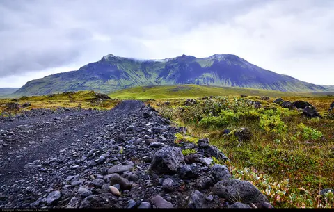
F210 Fjallabaksleið syðri (Keldur to Búland)
Fjallabak, Southern Highlands (Suðurland), Iceland
70 mi · High-clearance 4x4 (legally required on F-roads); a modified or larger jeep is better for the Hólmsá and Kaldaklofskvísl fords
 Moderate · 5/10
F910 Austurleið (Askja to Fljótsdalur via Kárahnjúkar)
Northeast Highlands (Ódáðahraun to Fljótsdalur), Austurland, Iceland
105 mi · High-clearance 4x4 (legally required on F-roads); not low-clearance crossovers
 Moderate · 5/10
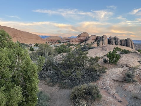
Fins N' Things
Moab — Sand Flats, Utah
6.4 mi · High-clearance 4×4; 33" tires help
 Moderate · 5/10
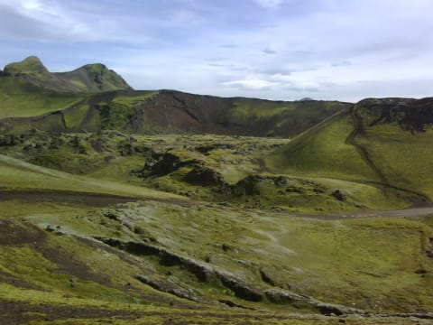
Fjallabaksleið nyrðri (F208)
Landmannalaugar, Iceland
48 mi · 4×4 with high clearance; experience with river fords
 Moderate · 4/10
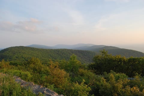
Flagpole Knob via Forest Road 85
Briery Branch / west of Harrisonburg, Virginia
3.6 mi · High-clearance 4x4. Ruts and rock get much worse in mud and snow.
 Moderate · 4/10
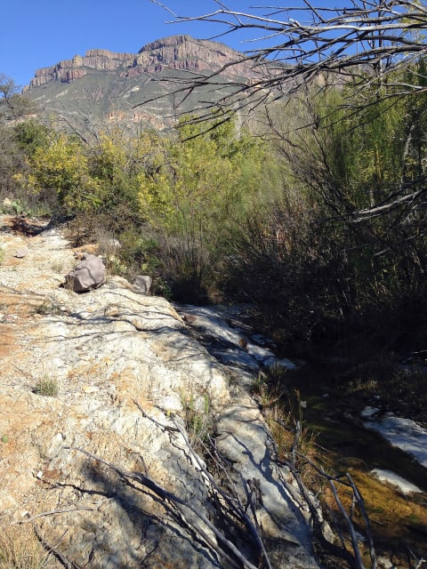
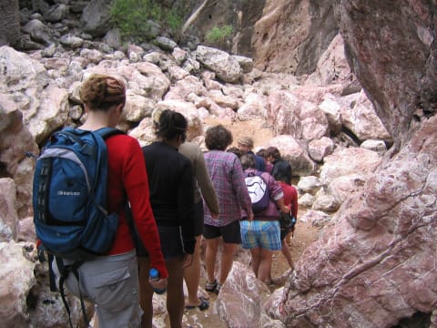
Fresno Canyon Road
Big Bend Ranch State Park, Texas
8 mi · Street-legal high-clearance 4WD (no side-by-sides)
 Moderate · 4/10
Gibb River Road
The Kimberley, Western Australia, Australia
380 mi · High-clearance 4×4; two spare tyres
 Moderate · 4/10
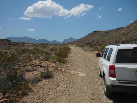
Glenn Springs Road
Big Bend National Park, Brewster County, West Texas, Texas
16 mi · High-clearance vehicle required; 4WD needed after heavy rain. Not maintained for passenger cars; OHVs/ATVs not allowed
 Moderate · 4/10
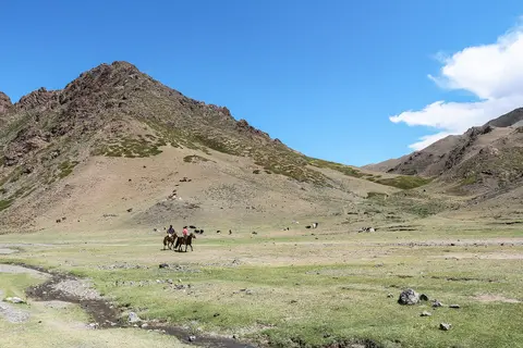
Gobi Gurvansaikhan Track (Dalanzadgad – Yolyn Am – Khongoryn Els)
Gobi Gurvansaikhan National Park, Ömnögovi Province, Mongolia
140 mi · 4x4 with good clearance and sand experience, or hire a local Land Cruiser or UAZ with a driver
 Moderate · 5/10
Googs Track (Ceduna to Malbooma)
Far West Coast, Eyre Peninsula / Outback South Australia, Australia
115 mi · High-clearance 4WD with low range and sand flag; trailers not recommended
 Moderate · 5/10
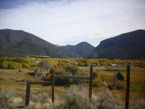
Goose Lake
Red River, New Mexico
6.8 mi · High-clearance 4×4 with low range
 Moderate · 5/10
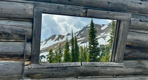
Goose Lake Jeep Trail (FS 3230)
Cooke City, Montana
8 mi · High-clearance 4x4 with low range; lockers and sliders helpful near the end
 Moderate · 5/10
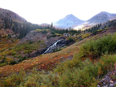
Governor Basin
Ouray, Colorado
2.9 mi · High-clearance 4×4 with low range
 Moderate · 4/10
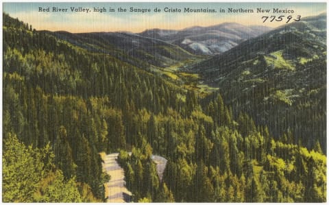
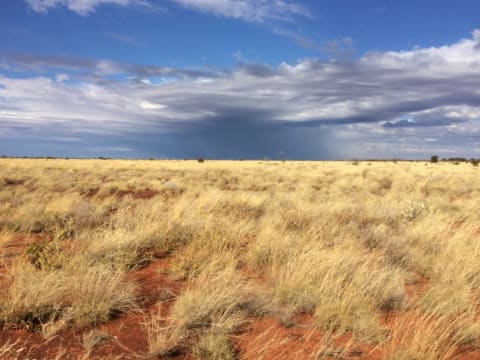
Greenie Peak (FS 54K / 54D / 54)
Carson National Forest, Red River, New Mexico
6 mi · High-clearance 4x4
 Moderate · 5/10
Gunbarrel Highway
Gibson Desert, Western Australia to Northern Territory, Australia
837 mi · Well-prepared high-clearance 4x4, ideally in convoy
 Moderate · 4/10
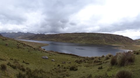
HU-110 Lauricocha Lakes Road
Lauricocha Province, Huánuco, Peru
27 mi · High-clearance 4x4 recommended
 Moderate · 5/10
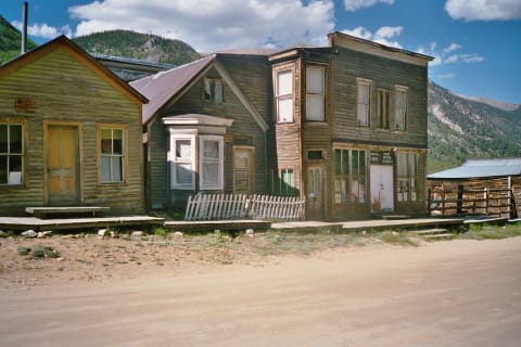
Hancock Pass
St. Elmo / Pitkin, Colorado
8.5 mi · High-clearance 4x4 with low range and skid plates; aggressive stock SUVs OK when dry
 Moderate · 4/10
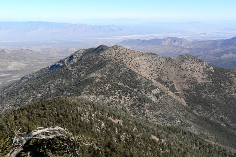
Harris Mountain Road
Spring Mountains National Recreation Area, Clark County, Nevada
5.7 mi · High-clearance vehicle with off-highway tires
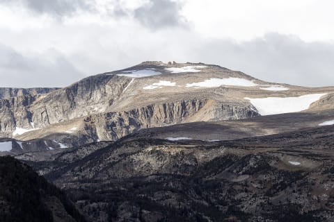 Moderate · 4/10
Hellroaring Plateau Road
Red Lodge / Beartooth Front, Montana
6.6 mi · High-clearance 4x4; short-wheelbase rigs preferred, full-size long-bed pickups and trailers not recommended
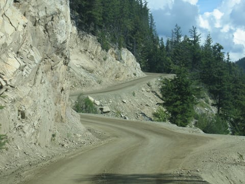 Moderate · 4/10
Highway 20 - The Hill (Freedom Road)
Chilcotin and Bella Coola Valley, British Columbia, Canada
87 mi · Any vehicle in good mechanical shape with sound brakes; use low gear on the descent; not suited to large trailers
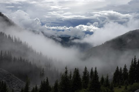 Moderate · 5/10
Imogene Pass
Ouray / Telluride, Colorado
17 mi · Stock high-clearance 4×4 with low range
 Moderate · 5/10
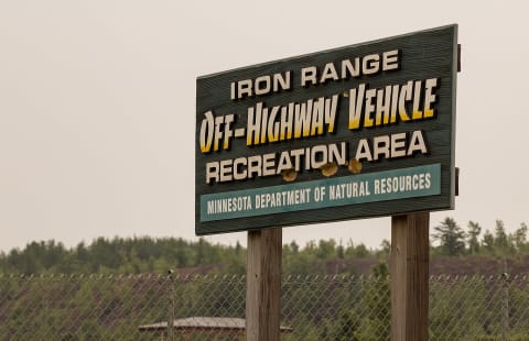
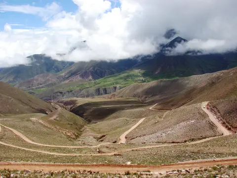
Iron Range OHV State Recreation Area - Overlook & Rock Crawls
Gilbert, St. Louis County, Minnesota
3 mi · Stock 4x4 for connector roads; built rigs with lockers for the rock crawls
 Moderate · 4/10
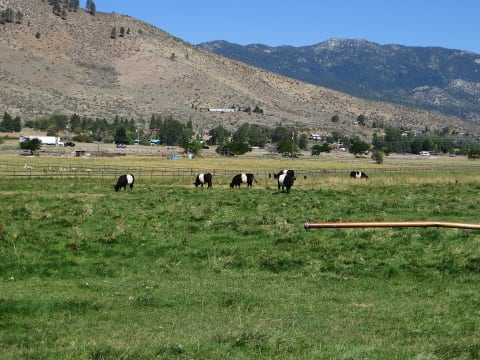
Iruya Road over Abra del Cóndor (RP133 / RP13)
Quebrada de Humahuaca / Iruya, Jujuy & Salta, Argentina
45 mi · High-clearance pickup or SUV; 4WD recommended after rain because of the river crossings
 Moderate · 4/10
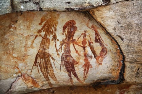
Jumbo Grade
Washoe Valley / Virginia City, Nevada
8 mi · High-clearance 4x4 (31-inch tires adequate); popular with OHVs
 Moderate · 5/10
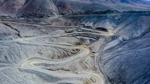
Kalumburu Road
North Kimberley, Western Australia, Australia
166 mi · High-clearance 4WD only (north of Port Warrender Rd the Shire limits vehicles to 5 t)
 Moderate · 4/10
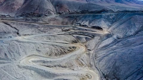
Kao Mine Road (Letšeng turn-off to Ha Lejone)
Butha-Buthe / Leribe districts, northern Lesotho highlands, Lesotho
37 mi · High-clearance vehicle; 4x4 needed in rain or snow and on the unmaintained western section.
 Moderate · 5/10
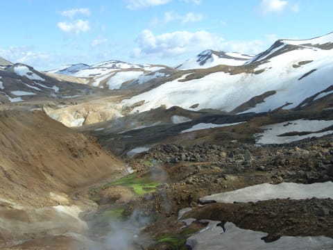
Kazarman Road over Kaldama Pass
Jalal-Abad Region, Kyrgyzstan
66 mi · High-clearance 4WD
 Moderate · 4/10
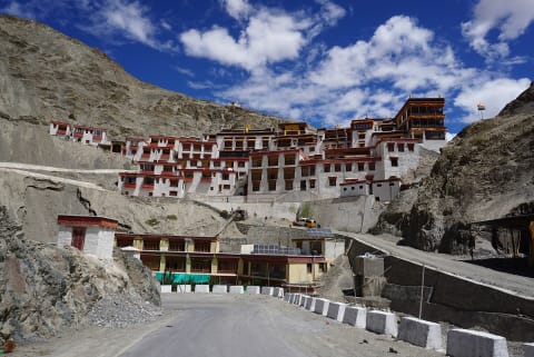
Kerlingarfjallavegur (F347)
Kjölur, Central Highlands, Iceland
10 mi · 4x4 required by law on F-roads; high clearance for the rocky upper section to Hveradalir
 Moderate · 5/10
Kharbu La (Shashila Road)
Kargil district, Ladakh, India
22 mi · High-clearance 4x4
 Moderate · 5/10
Khaudum National Park Traverse (Tsumkwe to Divundu)
Kavango East / Otjozondjupa, Namibia
190 mi · 4x4 with low range only, minimum two vehicles; no trailers or caravans
 Moderate · 5/10
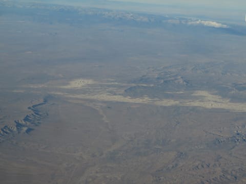
Khwai to Savuti and Linyanti
North-West District (Chobe National Park), Botswana
80 mi · High-clearance 4x4 with low range; deflate tyres for sand; snorkel advised in flood season
 Moderate · 4/10
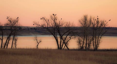
Killpecker Sand Dunes Open Play Area
Rock Springs / Eden, Wyoming
4WD with aired-down tires, sand rails, UTVs, ATVs and dirt bikes; high clearance for the Boar's Tusk spur
 Moderate · 4/10
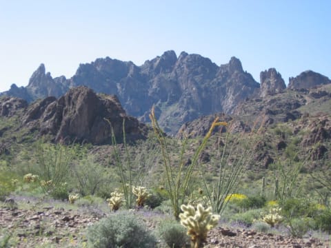
Kirwin Ghost Town Road (Wood River / FR 200)
Meeteetse, Wyoming
11 mi · High-clearance 4x4; full-size rigs fine, depth of water crossings varies
 Moderate · 4/10
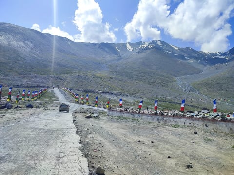
Kofa Queen Canyon
Quartzsite / Kofa NWR, Arizona
9 mi · High-clearance 4x4 recommended; sand and wash boulders; no trailers advised
 Moderate · 4/10
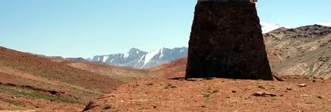
Kunzum La (Batal to Losar)
Lahaul and Spiti, Himachal Pradesh, India
19 mi · High-clearance SUV (2WD or 4WD); 4x4 helps at the fords
 Moderate · 4/10
Kyzyl-Art Pass on the Pamir Highway (Sary-Tash to Karakul)
Alay Valley (Osh Region, KG) to Murghob District, Gorno-Badakhshan (TJ), Tajikistan
61 mi · High-clearance SUV or 4x4; carry vehicle papers for both border posts
 Moderate · 4/10
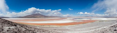
LM-108: Huaral to Trapiche
Huaral & Lima provinces, Lima Region, Peru
33 mi · High-clearance 4x4; not for normal cars
 Moderate · 4/10
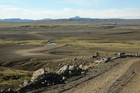
Lagunas Route (Uyuni to Laguna Verde)
Potosí Department, Nor Lípez and Sur Lípez (Altiplano), Bolivia
250 mi · High-clearance 4x4 with extra fuel and spare tyres; most travellers go with a licensed Uyuni tour operator
 Moderate · 5/10
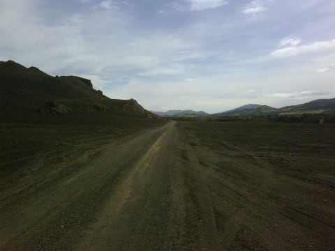
Lakagígar Road (F206)
Southern Highlands, Iceland
28 mi · Large high-clearance 4x4. F-road, so 4x4 is legally required.
 Moderate · 4/10
Landmannaleið (F225)
Southern Highlands, Iceland
25.5 mi · High-clearance 4x4. F-road, so 4x4 is legally required.
 Moderate · 4/10
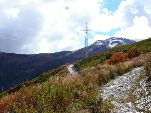
Las Burras Road (Big Bend Ranch State Park)
Big Bend Ranch State Park, Presidio County, Texas
5 mi · Street-legal high-clearance 4x4 with low range and Load Range E tires; no side-by-sides or dirt bikes
 Moderate · 5/10
Latpari Pass (Davberi to Chvelpi)
Svaneti (Mestia and Lentekhi municipalities), Georgia
13.3 mi · High-clearance 4x4; a short-wheelbase vehicle copes best with the switchbacks
 Moderate · 5/10
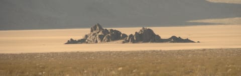
Lead King Basin Loop
Marble / Crystal, Colorado
13 mi · Short-wheelbase high-clearance 4x4 recommended; stock 4x4 SUVs OK when dry with an experienced driver
 Moderate · 5/10
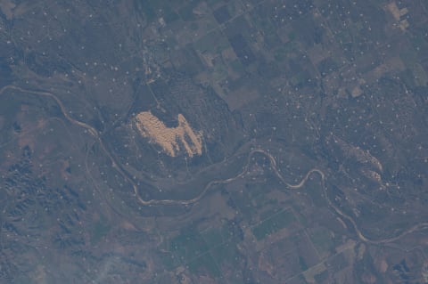
Lippincott Road
Death Valley, California
8.2 mi · High-clearance 4×4 with low range
 Moderate · 4/10
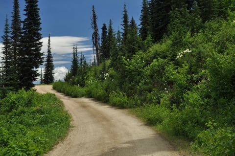
Little Sahara State Park Dunes
Waynoka / Woods County, Oklahoma
10 mi · ATV, UTV, dune buggy or 4x4 with roll bar and seat belts; aired-down tires
 Moderate · 4/10
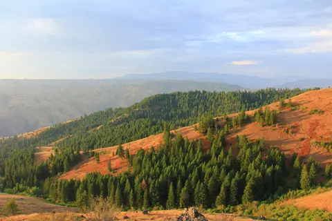
Lolo Motorway (Forest Road 500)
Powell / Kamiah, north-central Idaho, Idaho
93 mi · High-clearance 4x4 or SUV; RVs and trailers not recommended
 Moderate · 5/10
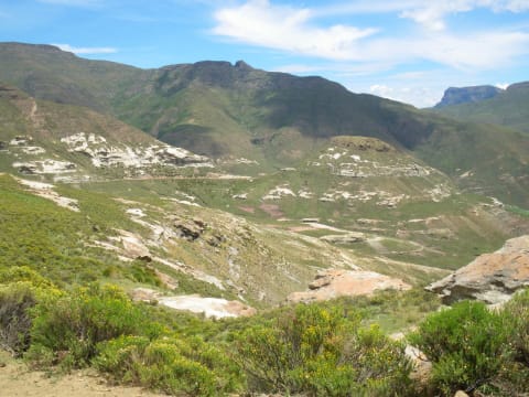
Lord Flat Trail (Warnock Corral to Lord Flat)
Hat Point / Hells Canyon, Wallowa County, Oregon
15 mi · Stock high-clearance 4x4 with low range; slow, rutted two-track
 Moderate · 4/10
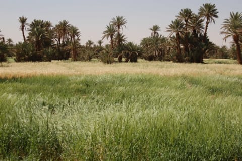
Lundean's Nek Pass
Wartrail-Barkly East, Eastern Cape, South Africa
9 mi · 4x4 recommended; high-clearance 4x2 only in fair weather, not for sedans
 Moderate · 5/10
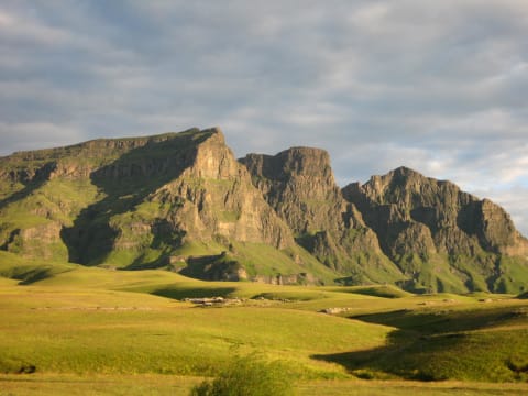
M'Hamid to Foum Zguid via Erg Chigaga and Lake Iriki
Draa Valley / Lower Draa, Drâa-Tafilalet & Souss-Massa, Morocco
100 mi · High-clearance 4x4 with low range and good sand tyres; travel with two vehicles if possible
 Moderate · 5/10
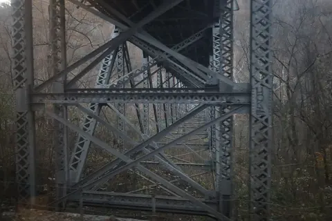
Matebeng Pass (A4 from Sehlabathebe)
Qacha's Nek District, Lesotho
15 mi · High-clearance 4x4 with low range; all-terrain tyres
 Moderate · 4/10
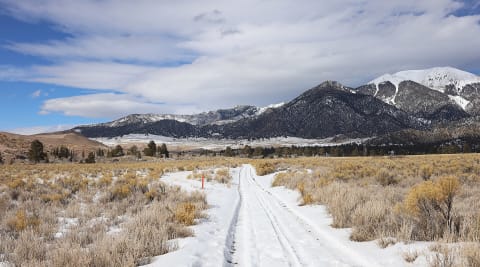
McKendree Road (Thurmond to Prince)
New River Gorge National Park and Preserve, West Virginia
13 mi · High-clearance 4WD SUV or pickup; no trailers or RVs
 Moderate · 4/10
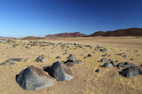
Medano Pass
Great Sand Dunes, Colorado
16 mi · High-clearance 4×4; air down for the sand
 Moderate · 4/10
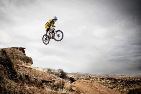
Messum Crater Track (Uis to Henties Bay)
Erongo (Dorob National Park), Namibia
125 mi · 4x4 with low range; GPS track recommended
 Moderate · 4/10
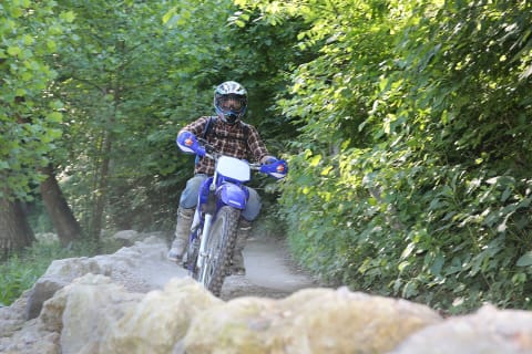
Millican Plateau OHV Area
Millican Valley between Bend and Prineville, Deschutes/Crook counties, Oregon
15 mi · ATV, UTV, dirt bike (Class I-III OHVs)
 Moderate · 4/10
Monday Creek OHV Trail System
Nelsonville / Perry, Hocking and Athens counties, Ohio
30 mi · ATV or dirt bike up to 50 in wide (no full-size 4x4s or wide UTVs)
 Moderate · 4/10
Moremi South Gate to Third Bridge
Ngamiland (Moremi Game Reserve), Botswana
36 mi · 4x4 high clearance; snorkel useful in high-flood years
 Moderate · 5/10
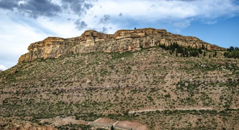
Mosquito Pass
Alma / Leadville, Colorado
17 mi · High-clearance 4×4 with low range
 Moderate · 5/10
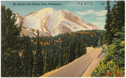
Mount Moorosi to Ketane Valley
Ketane, Quthing District, Lesotho
25 mi · 4x4 essential with some off-road experience
 Moderate · 5/10
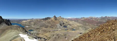
Naches Pass Trail (Naches Wagon Trail 4x4)
Greenwater / Cliffdell, between SR 410 and Stampede Pass, Washington
13 mi · High-clearance 4x4 with low range; 33-inch tires recommended; short wheelbase helps in tight sections
 Moderate · 4/10
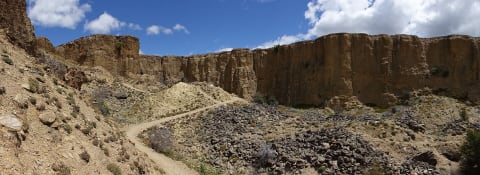
Nevado Huayracancha: Casapalca to Victoria
Cordillera Central, Huarochirí (Lima) / Yauli (Junín), Peru
18 mi · High-clearance 4x4; acclimatise first
 Moderate · 4/10
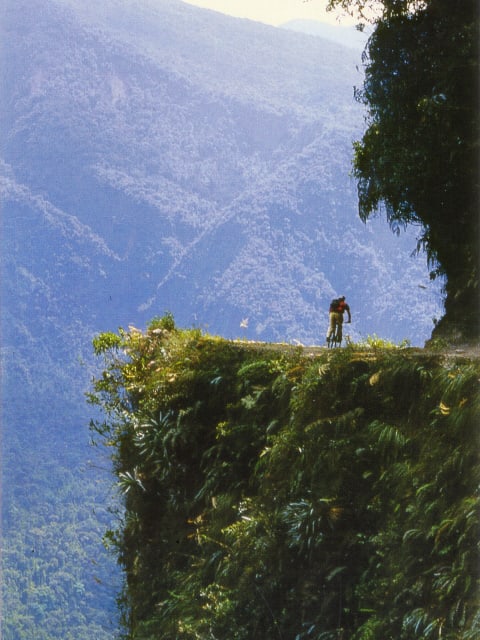
Nevis Road
Bannockburn / Garston, New Zealand
42 mi · High-clearance 4×4
 Moderate · 4/10
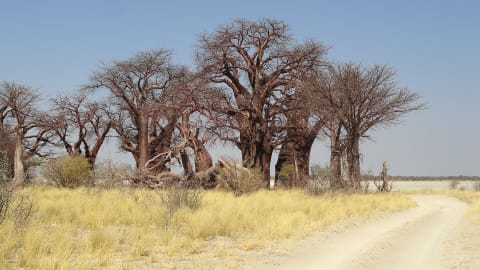
North Yungas Road (Death Road)
La Paz Department, Nor Yungas (Coroico Municipality), Bolivia
25 mi · High-clearance 4x4 or experienced motorcyclist; small vehicles only, no trailers
 Moderate · 4/10
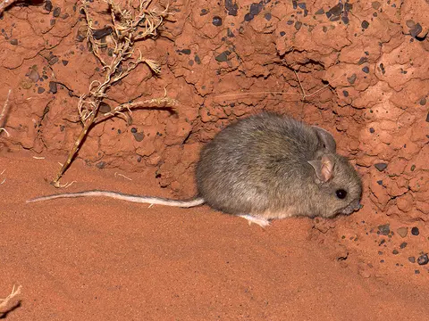
Nxai Pan and Baines' Baobabs
Central District (Nxai Pan National Park), Botswana
80 mi · 4x4 only; deflate tyres for the sand
 Moderate · 4/10
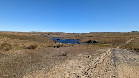
Old Andado Track (Binns Track: Santa Teresa – Old Andado – Mt Dare)
Simpson Desert fringe, Central Australia (NT) to Witjira (SA), Australia
270 mi · High-clearance 4WD; offroad campers OK to Old Andado, 4WD only beyond
 Moderate · 4/10
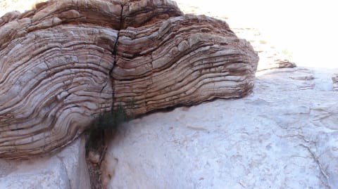
Old Dunstan Road
Central Otago, New Zealand
28.6 mi · High-clearance 4WD; 2WD is only practical on the first section to Loganburn in dry weather
 Moderate · 5/10
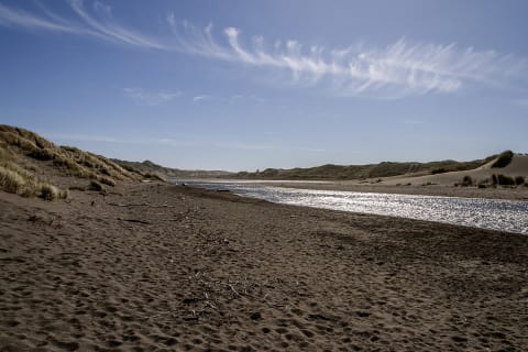
Old Ore Road
Big Bend National Park, Texas
26 mi · High-clearance 4WD truck or SUV with low range; street-legal vehicles only
 Moderate · 4/10
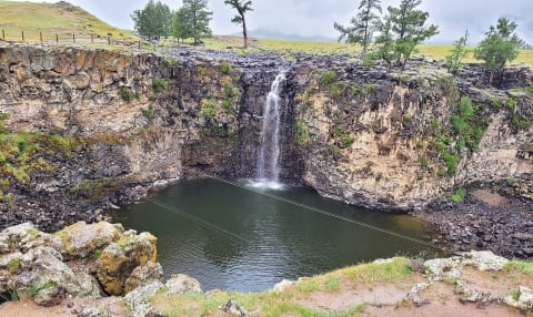
Oregon Dunes NRA South Riding Area (Spinreel to Horsfall)
Lakeside to North Bend, Coos County, southern Oregon Coast, Oregon
12 mi · Sand-capable 4x4, UTV/ATV or dune buggy; air down, whip flag required
 Moderate · 4/10
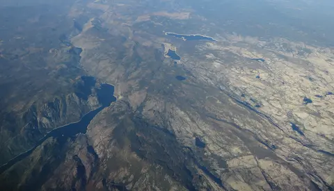
Orkhon Valley Road to Ulaan Tsutgalan Waterfall
Övörkhangai Province, Mongolia
46 mi · Sturdy high-clearance 4x4; experienced driver recommended
 Moderate · 5/10
Oso Loop and Guale Road to Guale Mesa (Big Bend Ranch State Park)
Big Bend Ranch State Park, Presidio County, Texas
9 mi · Street-legal high-clearance 4x4 with low range; no side-by-sides or dirt bikes
 Moderate · 4/10
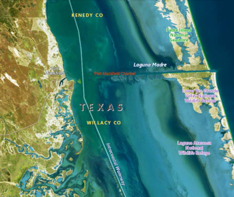
Padre Island National Seashore South Beach to Mansfield Channel
North Padre Island, south of Corpus Christi, Kleberg/Kenedy counties, Texas Gulf Coast, Texas
60 mi · 4WD required from mile 5 to 60 (high clearance for Yarborough Pass). Street-legal, registered, plated vehicles only; ATVs, UTVs and golf carts prohibited
 Moderate · 4/10
Peters Mill Run OHV Trail
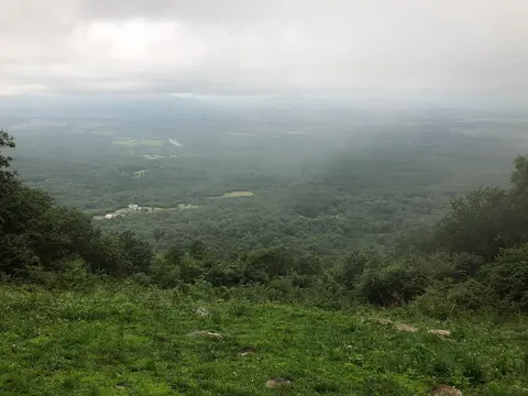
Massanutten Mountain, Lee Ranger District (near Edinburg / Fort Valley), Virginia
8.4 mi · Stock high-clearance 4x4 with decent tires; air down and use 4-Low for the rocky southern climb, especially after rain
 Moderate · 4/10
Picket Pin–Iron Mountain Road
Nye / Stillwater Valley, Montana
22 mi · High-clearance 4x4 with low range for the steep upper section
 Moderate · 4/10
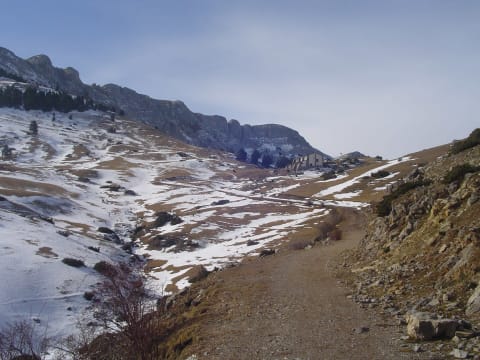
Pista del Refugi de Prat d'Aguiló
Cerdanya, Lleida (Catalonia), Spain
7.4 mi · High-clearance 4x4 recommended; rocky, steep, unpaved hairpins
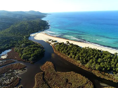 Moderate · 4/10
Piste de Saleccia (Désert des Agriates)
Désert des Agriates, Haute-Corse, Corsica, France
7.5 mi · High-clearance 4x4 strongly advised; some low cars attempt it and leave parts behind
 Moderate · 5/10
Railroad Ridge via Jim Creek Road
Clayton / East Fork Salmon River, Idaho
4WD with good tires and high clearance
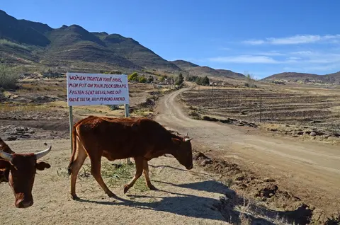 Moderate · 4/10
Ramabanta to Malealea via Botsoela
Maseru / Mafeteng districts, western Lesotho highlands, Lesotho
30 mi · 4x4 with high clearance; low range needed for the steep Botsoela switchbacks.
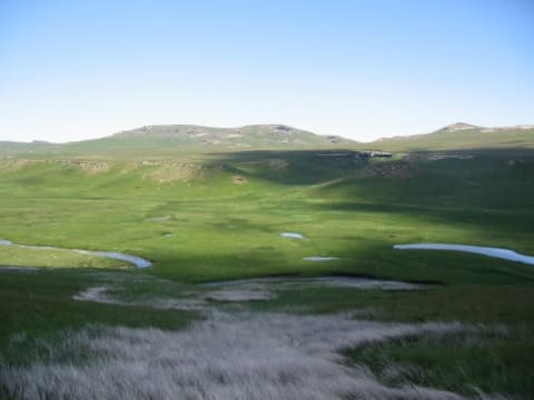 Moderate · 5/10
Ramatseliso's Gate to Sehlabathebe
Qacha's Nek District, Lesotho
22 mi · High-clearance 4x4 with low range
 Moderate · 5/10
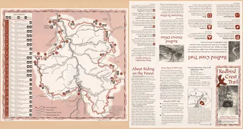
Redbird Crest Trail
Redbird Ranger District, Daniel Boone National Forest, Clay and Leslie Counties, Kentucky
69 mi · ATV/UTV to 64 in (sections 1-6) or 50 in (7-13); street-legal 4x4 on sections 14-15; dirt bikes on 16-22
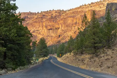 Moderate · 4/10
River Road West (Big Bend National Park)
Big Bend National Park, Brewster County, Texas
31 mi · Street-legal high-clearance 4x4 with low range; no OHVs/UTVs, no trailers
 Moderate · 4/10
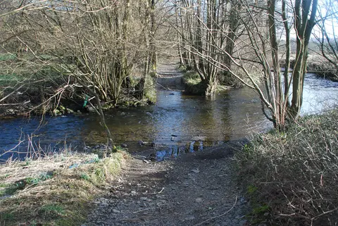
Rusland Pool Fords (U5566, The Strands)
Rusland valley, Lake District, Cumbria, United Kingdom
0.3 mi · 4x4 or trail bike; deep fords and a steep rocky exit
 Moderate · 5/10
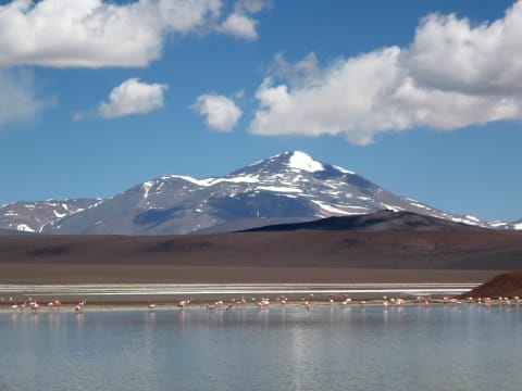
Ruta 76: Villa Unión to Laguna Brava and Pircas Negras
La Rioja Province, Vinchina / Laguna Brava Provincial Reserve, Argentina
161 mi · High-clearance 4x4
 Moderate · 5/10
Saach Pass (Bairagarh to Killar)
Chamba district, Himachal Pradesh, India
42 mi · High-clearance 4x4 or SUV with good ground clearance; drive slowly
 Moderate · 4/10
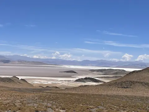
Salar de Coipasa Crossing (Llica – Coipasa – Sabaya)
Altiplano, Daniel Campos Province (Potosí) to Sabaya Province (Oruro), Bolivia
75 mi · 4x4 with good clearance; carry recovery gear and wash the underbody after the salt
 Moderate · 5/10
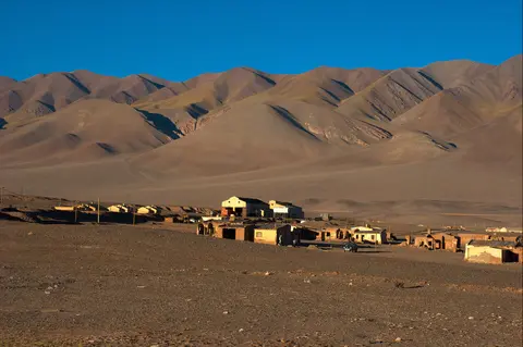
Salar de Pocitos to Antofagasta de la Sierra via Abra Falda Ciénaga (RP43)
Puna de Atacama, Salta & Catamarca, Argentina
142 mi · 4x4 with good clearance; carry fuel and water for 230 km with no services
 Moderate · 4/10
San Antonio de los Cobres to Tolar Grande via Salar de Pocitos
Puna Salteña, Los Andes Department, Salta, Argentina
115 mi · High-clearance SUV or pickup; 4WD advised for sand and after rain
 Moderate · 4/10
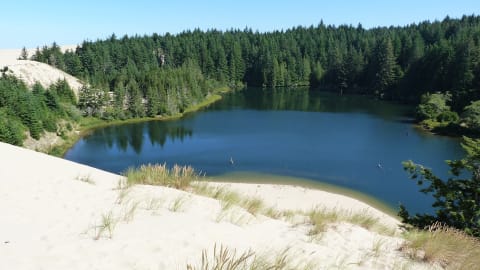
Sand Lake Recreation Area OHV Dunes
Sand Lake, between Tillamook and Pacific City, Tillamook County, Oregon
4 mi · ATV, UTV, dune buggy or sand-capable 4x4; whip flag required
 Moderate · 4/10
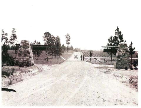
Sandstone Multiple-Use Trail
Kisatchie Ranger District / Natchitoches Parish, Louisiana
31 mi · ATV, UTV or dirt bike (OHV trail, not a full-size 4x4 route)
 Moderate · 5/10
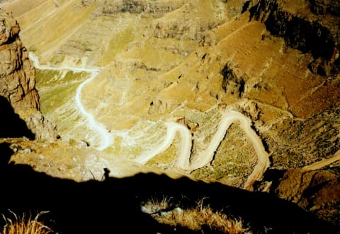
Sani Pass
KwaZulu-Natal / Lesotho border, South Africa
21 mi · 4×4 required on the unsealed sections
 Moderate · 5/10
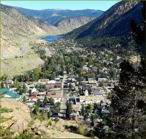
Saxon Mountain
Georgetown, Colorado
4.7 mi · High-clearance 4×4 with low range
 Moderate · 4/10
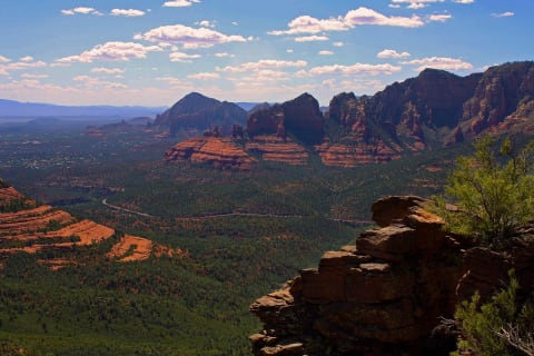
Schnebly Hill Road
Sedona, Arizona
12 mi · High-clearance 4×4 — not suitable for cars or low SUVs
 Moderate · 4/10
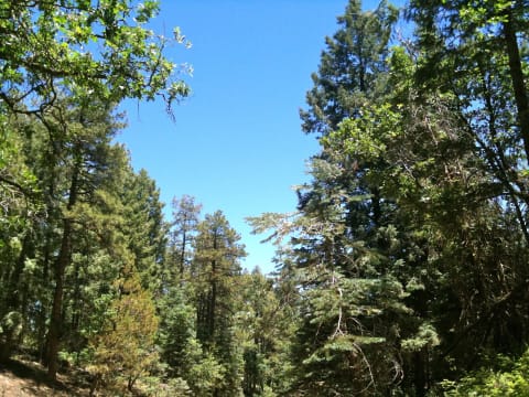
Senator Highway (FR 52) – Prescott to Crown King
Bradshaw Mountains, south of Prescott, Arizona
39 mi · High-clearance 4WD
 Moderate · 5/10
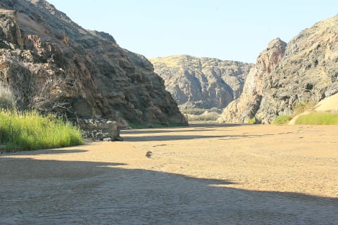
Sesfontein to Puros and Orupembe (D3707, Kaokoland)
Kaokoland (Kaokoveld), Kunene Region, Namibia
130 mi · High-clearance 4x4 with low range; two vehicles recommended north of Puros
 Moderate · 5/10
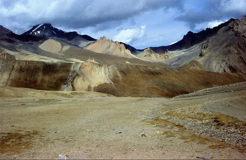
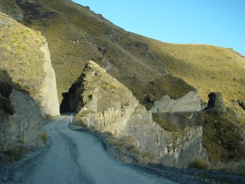
Sirsir La Road (Lamayuru to Photoksar)
Lamayuru–Wanla–Photoksar, Leh district, Ladakh, India
37 mi · High-clearance 4x4
 Moderate · 5/10
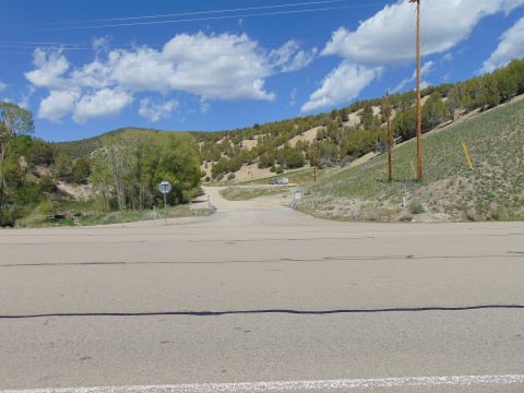
Skippers Road
Queenstown, New Zealand
10 mi · Narrow, exposed road — many rental companies ban it
 Moderate · 4/10
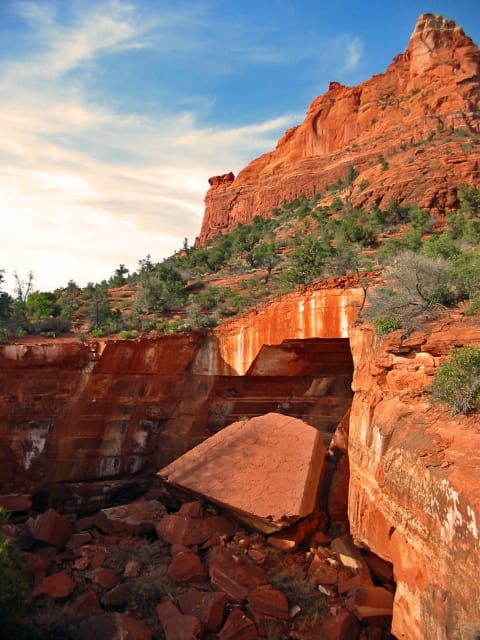
Skyline Drive (Wasatch Plateau, FR 150)
Wasatch Plateau (Sanpete / Emery / Sevier counties), Utah
100 mi · High-clearance 4WD for the southern section; north section is graded gravel
 Moderate · 4/10
Soldier Pass
Sedona, Arizona
1 mi · High-clearance 4×4
 Moderate · 4/10
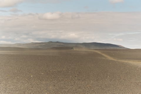
Solitario Road East
Big Bend Ranch State Park (El Solitario), Texas
4 mi · Street-legal high-clearance 4x4
 Moderate · 4/10
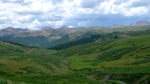
Sprengisandur (F26)
Central Highlands, Iceland
118 mi · 4×4 with high clearance
 Moderate · 4/10
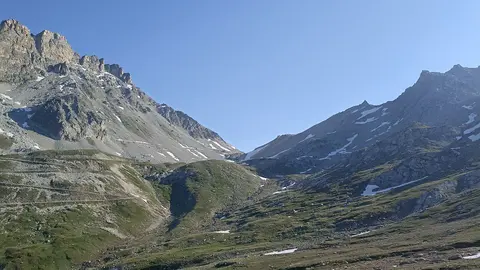
Stony Pass
Silverton / Creede, Colorado
36.6 mi · High-clearance 4x4 with low range; stock SUVs fine in dry conditions
 Moderate · 4/10
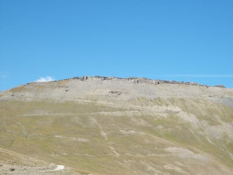
Strada del Colle del Sommeiller (Bardonecchia – Rochemolles – Colle Sommeiller)
Valle di Rochemolles, Bardonecchia, Alta Val di Susa (Piedmont), Italy
15.7 mi · High-clearance 4x4 recommended; a careful high-clearance car can manage in dry conditions
 Moderate · 5/10
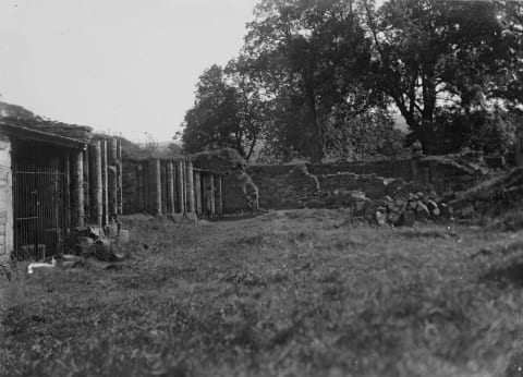
Strada militare del Jafferau (Via dei Saraceni)
Upper Susa Valley, Cottian Alps, Piedmont, Italy
20 mi · High-clearance 4x4 with low range; narrow (~3 m), rocky, rockfall-prone
 Moderate · 5/10
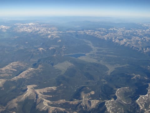
Strata Florida Mountain Road
Cambrian Mountains, Ceredigion / Powys, Wales, United Kingdom
6.5 mi · High-clearance 4x4 with low range, good tyres and a raised air intake or careful wading
 Moderate · 5/10
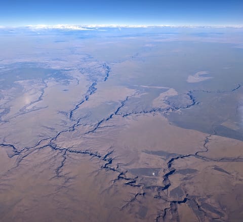
Taylor Pass
Aspen / Taylor Park, Colorado
14 mi · High-clearance 4×4 with low range
 Moderate · 4/10
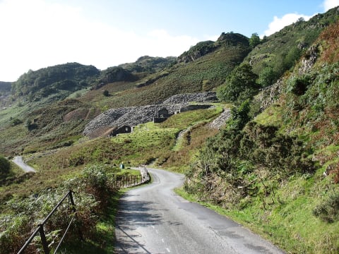
Three Forks Road & Fenwick Switchbacks (Owyhee Canyon)
Owyhee Canyonlands south of Jordan Valley, Malheur County, Oregon
38 mi · High-clearance 4x4 highly recommended for the final descent; no trailers or long-wheelbase rigs
 Moderate · 4/10
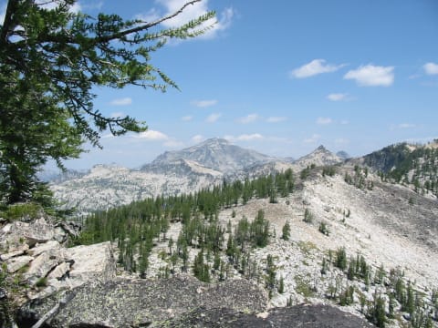
Tilberthwaite Road (High Tilberthwaite to Fell Foot)
Coniston / Little Langdale, Lake District, Cumbria, United Kingdom
1.6 mi · Short or medium-wheelbase 4x4 with good clearance
 Moderate · 4/10
Tincup Pass
St. Elmo / Tincup, Colorado
6 mi · High-clearance 4×4
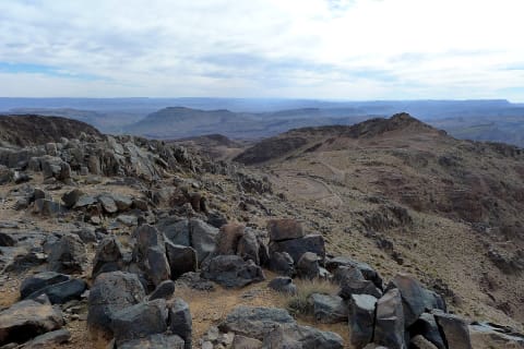 Moderate · 4/10
Tizi n'Tazazert (N'Kob to Iknioun across Jbel Saghro)
Jbel Saghro, Zagora and Tinghir Provinces, Drâa-Tafilalet, Morocco
30 mi · 4x4 required; high clearance
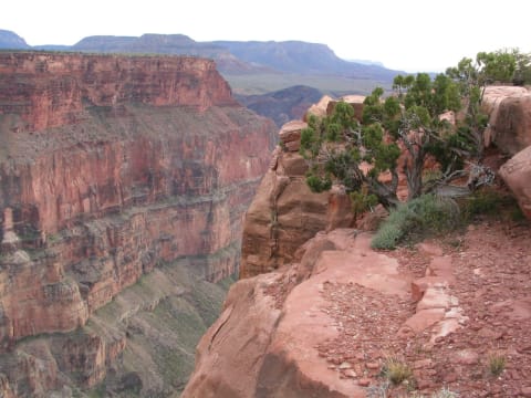 Moderate · 4/10
Toroweap Point Road (Tuweep)
Grand Canyon / Arizona Strip, Arizona
19.9 mi · High-clearance vehicle required by NPS; 4WD helpful for the last rocky miles; max 22 ft length
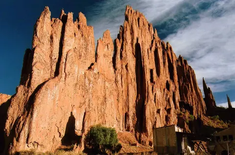 Moderate · 5/10
Tupiza to San Antonio de Lípez
Sud Chichas & Sur Lípez provinces, Potosí Department, Bolivia
140 mi · High-clearance 4x4 with long-range fuel; low range for steep loose climbs
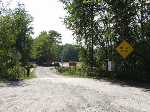 Moderate · 5/10
Turkey Bay OHV Area
Golden Pond / Land Between the Lakes, Kentucky
100 mi · Registered 4x4 with all-terrain or mud tires; some trails are limited to 50-inch width
 Moderate · 4/10
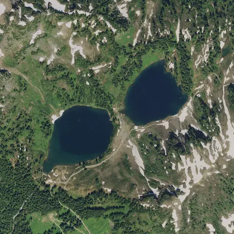
Twin Lakes Road (FR 3065)
Mount Baker Highway / Glacier, Whatcom County, Washington
7 mi · High-clearance 4x4 for the unmaintained last 2+ miles; SUVs and careful cars can reach the Yellow Aster Butte trailhead
 Moderate · 4/10
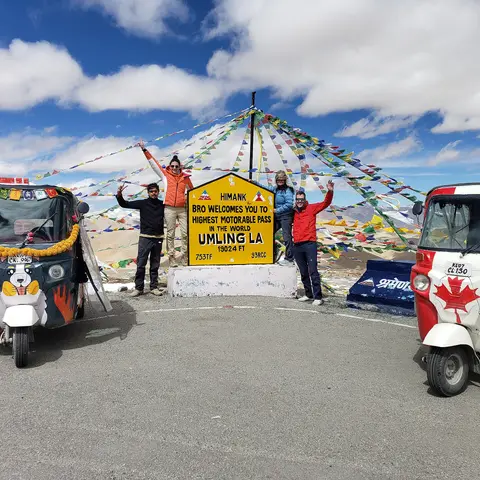
Umling La via Photi La (Hanle to Umling La)
Changthang (Hanle and Koyul), Leh district, Ladakh, India
50 mi · Well-maintained high-clearance 4x4 or SUV; carry extra fuel
 Moderate · 4/10
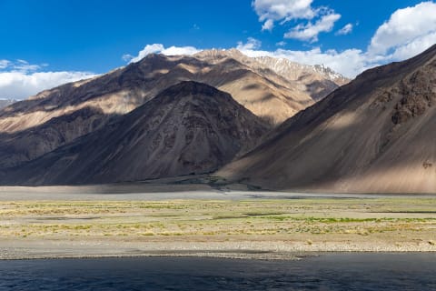
Wakhan Valley Road and Khargush Pass
Gorno-Badakhshan (GBAO), Tajikistan
180 mi · High-clearance 4x4
 Moderate · 5/10
Wari La (Sakti to Agham)
Leh district (Sakti to Nubra/Shyok valley), Ladakh, India
39 mi · High-clearance 4x4 SUV in good condition; motorcycles common; not for low cars
 Moderate · 5/10
Webster Pass
Montezuma / Hall Valley, Colorado
3.5 mi · High-clearance 4×4 with low range
 Moderate · 4/10
Wheeler Pass Road
Spring Mountains National Recreation Area, Clark County, Nevada
26 mi · High-clearance 4x4 SUV or pickup
 Moderate · 4/10
White Rim Road
Canyonlands — Island in the Sky, Utah
72 mi · High-clearance 4×4 with low range
 Moderate · 4/10
Zoji La (Sonamarg to Drass)
Ganderbal, Jammu & Kashmir / Kargil, Ladakh, India
39 mi · Any high-clearance vehicle; 4x4 helps in slush, snowmelt and early-season mud.
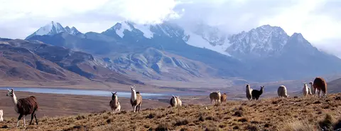 Moderate · 5/10
Zongo Valley Road (Ingenio – Milluni – Zongo)
Cordillera Real / Zongo Valley, Pedro Domingo Murillo Province, La Paz Department, Bolivia
35 mi · High-clearance 4x4; use 4LO engine braking on the descent
Trail conditions, closures and rules change. Check with the land manager (forest or park service, local authority or landowner) before you go, stay on the trail, and travel with another vehicle. Ratings are a guide — your vehicle, the weather and recent damage can make a trail harder.