
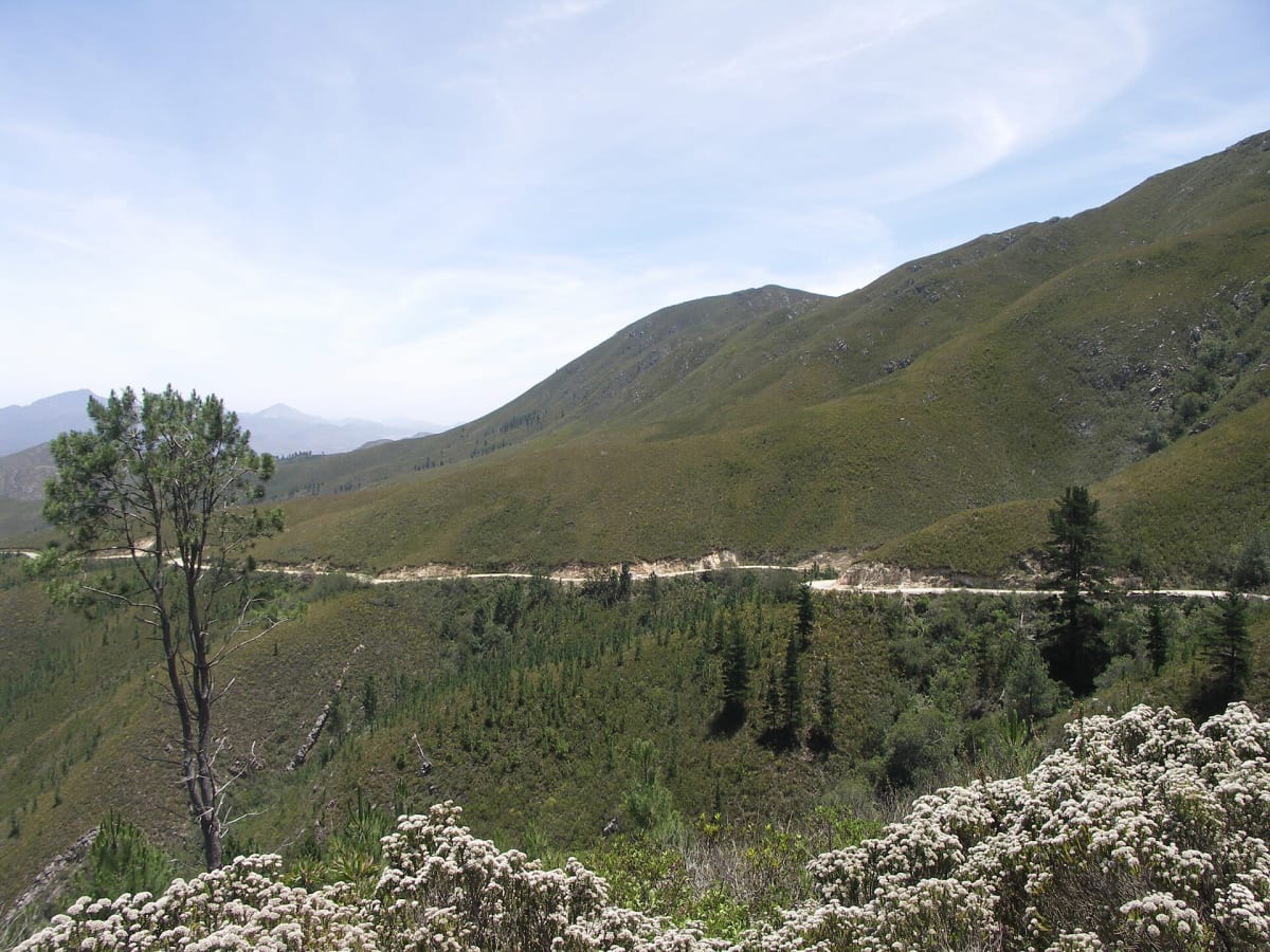
Prince Alfred's Pass (R339)
Garden Route, Western Cape, South Africa
South Africa's longest pass: 68 km of forest and mountain gravel from Knysna to Avontuur
Photo: NJR ZA / CC BY-SA 3.0 / Wikimedia Commons
Nav gets you to the trailhead. On the trail, Follow trail shows the line and where you are on it — road directions don't work on dirt trails.
The line joins the trail's waypoints in straight lines — it shows the general route, not every turn.
Thomas Bain's 68 km gravel pass on the R339 winds through the Knysna forests and over the Outeniqua range to Avontuur in the Langkloof, with hundreds of corners. The surface has corrugations, potholes and eroded patches, and parts of it narrow to a single lane. Caravans and quad bikes are not allowed, and there is no fuel or cell signal, so fill up beforehand and avoid it during or just after heavy rain.
Waypoints
- 1Knysna end (R339 off the N2)
Southern route point from the dangerousroads.org Prince Alfred's Pass map embed
-34.04159, 23.10493
- 2Forest section
Mid-route point from the dangerousroads.org map embed (Knysna forest section)
-33.93952, 23.16042
- 3Prince Alfred's Pass summit
'Prince Alfred Pass, Knysna - Avontuur' coordinate from the wilddog.net.za GPS list; about 1,040 m
-33.76983, 23.14339
- 4Avontuur end (Langkloof)
Northern route point from the dangerousroads.org map embed
-33.72598, 23.16471