
Eselbank Pass (Kerskop Pass)
Cederberg, Western Cape, South Africa
4x4-only sandstone track across the Cederberg Wilderness from Wuppertal to Cederberg Oasis
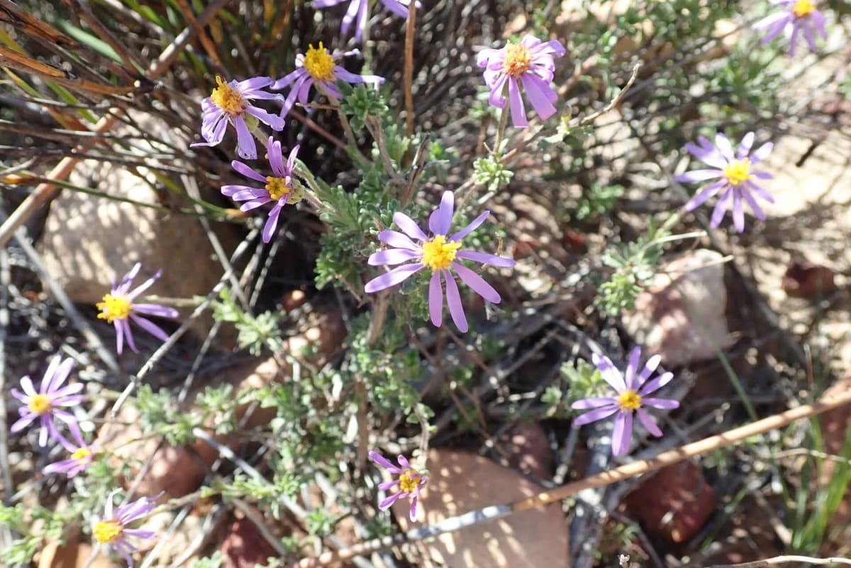
Photo: Representative photo, not this location (Peter R. Warren / CC0 / Wikimedia Commons)
Nav gets you to the trailhead. On the trail, Follow trail shows the line and where you are on it — road directions don't work on dirt trails.
The line joins the trail's waypoints in straight lines — it shows the general route, not every turn.
Also called the Kerskop Pass, this 40 km route links the mission village of Wuppertal with Cederberg Oasis across red-sandstone country in the Cederberg Wilderness. In places it is closer to a track than a road, with steep concreted ramps up to 1:5, narrow sections and soft sand in hot, dry months. A sign at the start recommends 4x4 vehicles only, and the low-level causeway on the southern approach is often under water.
Waypoints
- 1Wuppertal
Northern route point from the dangerousroads.org Eselbank Pass map embed (Wuppertal end)
-32.27642, 19.21719
- 2Climb south of Wuppertal
Second route point from the dangerousroads.org map embed
-32.33298, 19.21195
- 3Southern section near the summit plateau
Third route point from the dangerousroads.org map embed; the summit is about 978 m
-32.49934, 19.33852
- 4Cederberg Oasis
Named place in the dangerousroads.org map embed (southern end)
-32.55115, 19.36108