
Molesworth Road
Marlborough / Canterbury, New Zealand
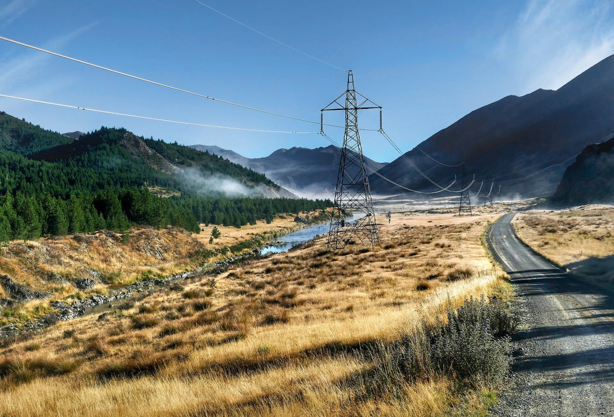
A gravel road through New Zealand's largest high-country cattle station.
Photo: Bernard Spragg. NZ from Christchurch, New Zealand / Public domain / Wikimedia Commons
Nav gets you to the trailhead. On the trail, Follow trail shows the line and where you are on it — road directions don't work on dirt trails.
The line joins the trail's waypoints in straight lines — it shows the general route, not every turn.
The Acheron and Molesworth roads cross Molesworth Station, New Zealand's largest farm, between Hanmer Springs and Blenheim through tussock high country, old cob houses and river valleys. The road is gravel and open only in summer and daylight hours; there are no services. The mapped line covers the Acheron Road section in the south.
Waypoints
- 1Start of Acheron Road
-42.39778, 172.95726
- 2Acheron Road, about 4 mi in
-42.35401, 172.98229
- 3Acheron Road, about 7 mi in
-42.31511, 173.00933
- 4Acheron Road, about 11 mi in
-42.27824, 173.04548
- 5End of Acheron Road
-42.23715, 173.06275