
All trails
Easy · 2/10
KI Road
Brownville Junction / KI Jo-Mary, Maine
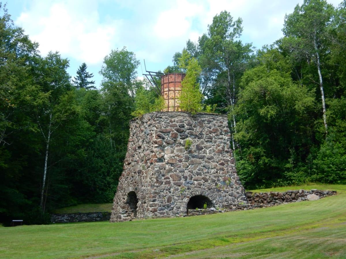
The gravel road past the old Katahdin Iron Works into the 100-Mile Wilderness area.
Photo: thepiper351 / CC BY 2.0 / Wikimedia Commons
Nav gets you to the trailhead. On the trail, Follow trail shows the line and where you are on it — road directions don't work on dirt trails.
Length
24 mi
Time
2 hr
Difficulty
2/10 · Easy
Managed by
KI Jo-Mary Multiple Use Forest (private timberland)
Trail line © OpenStreetMap contributors (ODbL).
The KI Road leads from the Brownville Junction area past the historic Katahdin Iron Works furnace into the KI Jo-Mary forest, toward Gulf Hagas and the Appalachian Trail's 100-Mile Wilderness. It is a private logging road with a checkpoint gate and fees.
Waypoints
- 1Start of Katahdin Iron Works Road
45.40798, -69.06189
- 2Katahdin Iron Works Road, about 6 mi in
45.44890, -69.16367
- 3Katahdin Iron Works Road, about 12 mi in
45.47625, -69.26328
- 4Katahdin Iron Works Road, about 18 mi in
45.48724, -69.37589
- 5End of Katahdin Iron Works Road
45.45020, -69.46525