
Frenchmans Track (Cape York)
Cape York Peninsula, Far North Queensland, Australia
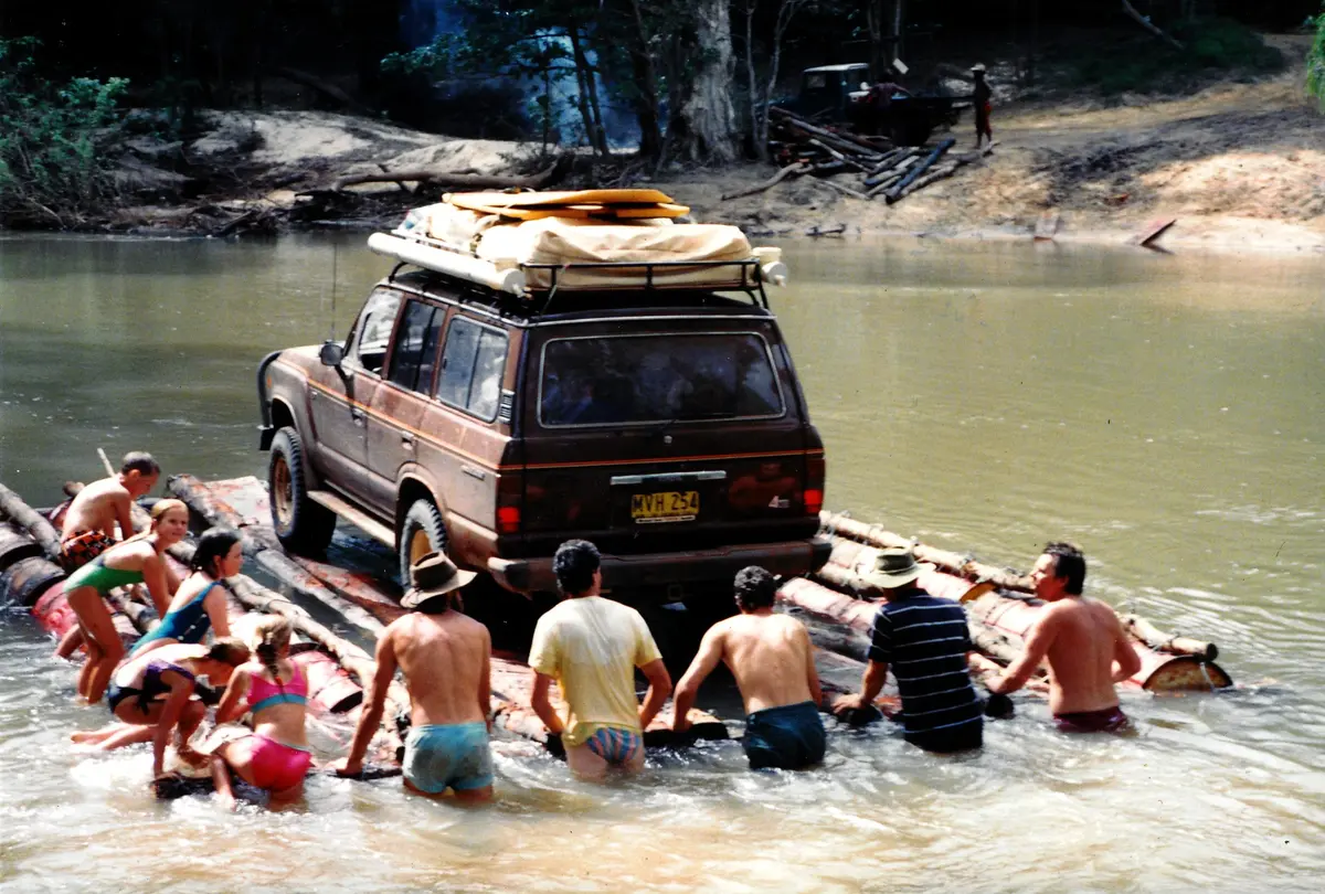
Cape York's rocky shortcut between the Portland Roads road and the Telegraph Track, with the deep Pascoe River ford.
Photo: Representative photo, not this location (John Hill / CC BY-SA 3.0 / Wikimedia Commons)
Nav gets you to the trailhead. On the trail, Follow trail shows the line and where you are on it — road directions don't work on dirt trails.
The line joins the trail's waypoints in straight lines — it shows the general route, not every turn.
Frenchmans Track links the Portland Roads/Lockhart River road near Iron Range with Telegraph Road south of Moreton Telegraph Station. The big obstacle is the Pascoe River: a deep (about 700–800 mm), rocky, fast-flowing ford with a steep bare-rock western exit that damages tyres and running gear, so walk it first. Further west the Wenlock River ford is easier but has a steep, slippery exit, and the track between has soft sand, washouts, deep ruts and a blocky hill climb. It is not suitable for trailers, and mud west of the Wenlock can keep it shut well into the dry season. There is no fuel at Moreton; the longest fuel gap is about 221 km from Archer River to Bramwell Junction.
Waypoints
- 1Junction of Portland Roads Road and Frenchmans Track
Coordinates from the ExplorOz 'Frenchmans Track' place page (Frenchmans Tk & Portland Rd Jn), about 11 km from the Pascoe.
-12.75487, 143.08745
- 2Pascoe River crossing
Coordinates from the ExplorOz 'Pascoe River Crossing' place page. About 700–800 mm deep, steep rocky west bank, slippery east exit; trees for winching.
-12.69958, 143.02547
- 3Wenlock River crossing
Coordinates from the Bushtracker/ExplorOz 'Wenlock River Crossing' place page, which describes the 34 km Wenlock–Pascoe section.
-12.66062, 142.89371
- 4Moreton Telegraph Station
Coordinates from the Moreton Telegraph Station Wikipedia article. The track meets Telegraph Road about 22 km south of here (per Hema); camping, no fuel.
-12.45312, 142.63881