
Eddy Peak Road
Thompson Falls, Montana
14 hairpins up to a staffed fire lookout above Thompson Falls
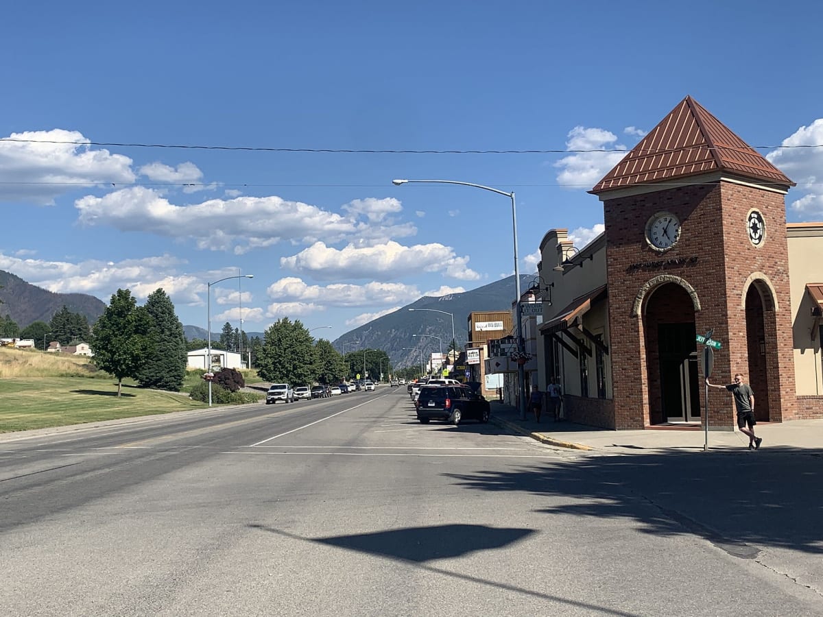
Photo: Representative photo, not this location (BrianHagan / CC BY-SA 4.0 / Wikimedia Commons)
Nav gets you to the trailhead. On the trail, Follow trail shows the line and where you are on it — road directions don't work on dirt trails.
The line joins the trail's waypoints in straight lines — it shows the general route, not every turn.
This single-lane dirt road climbs about 11 miles and roughly 4,400 ft from the Clark Fork valley near Thompson Falls to Eddy Peak, crowned by a 1982 fire lookout that is often staffed in summer. The road is generally in decent shape but has 14 tight hairpins and narrow shelf sections with nowhere to pass. A gate stops vehicles 0.7 mile below the summit, so finish on foot; a side path near the gate drops to Outlaw Lake.
Waypoints
- 1Valley start
Route waypoint 1 in the dangerousroads.org embedded route map.
47.54051, -115.18811
- 2Hairpin section
Route waypoint 2 in the dangerousroads.org map.
47.54480, -115.25700
- 3Eddy Peak lookout (gate below)
Route waypoint 3 (end) in the dangerousroads.org map; matches the onX trail-map pin (47.56379, -115.26568). Summit 6,866 ft.
47.56413, -115.26610