
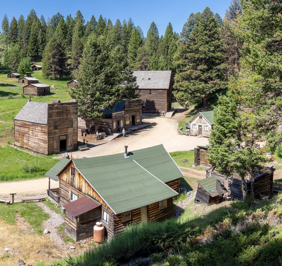
Garnet Range Road (Garnet Back Country Byway)
Missoula / Drummond, Montana
Twelve gravel miles up to Montana's best-preserved ghost town.
Photo: Rhododendrites / CC BY-SA 4.0 / Wikimedia Commons
Nav gets you to the trailhead. On the trail, Follow trail shows the line and where you are on it — road directions don't work on dirt trails.
The line joins the trail's waypoints in straight lines — it shows the general route, not every turn.
This BLM Back Country Byway leaves MT 200 east of Missoula and climbs about 2,000 feet on 12 miles of gravel, with views over the Blackfoot Valley toward the Swan and Mission ranges. It ends at Garnet, an 1890s gold camp where the BLM keeps the buildings in a state of arrested decay. From January through April the road is closed to wheeled vehicles and groomed as a snowmobile trail. The BLM warns that the other routes into Garnet are steep, narrow and rough.
Waypoints
- 1Garnet Range Road turnoff from MT 200
Furkot Garnet Back Country Byway page, start point 46.88908, -113.461014. The BLM puts the turnoff between MT 200 mile markers 22 and 23.
46.88908, -113.46101
- 2Garnet Ghost Town
BLM Garnet Ghost Town page coordinates 46.82559, -113.33945. Wikipedia gives 46.82528, -113.33889.
46.82559, -113.33945
- 3Byway end east of Garnet
Furkot Garnet Back Country Byway page, end point 46.82659, -113.29896.
46.82659, -113.29896