
All trails
Difficult · 6/10
Poison Spider Mesa
Moab, Utah
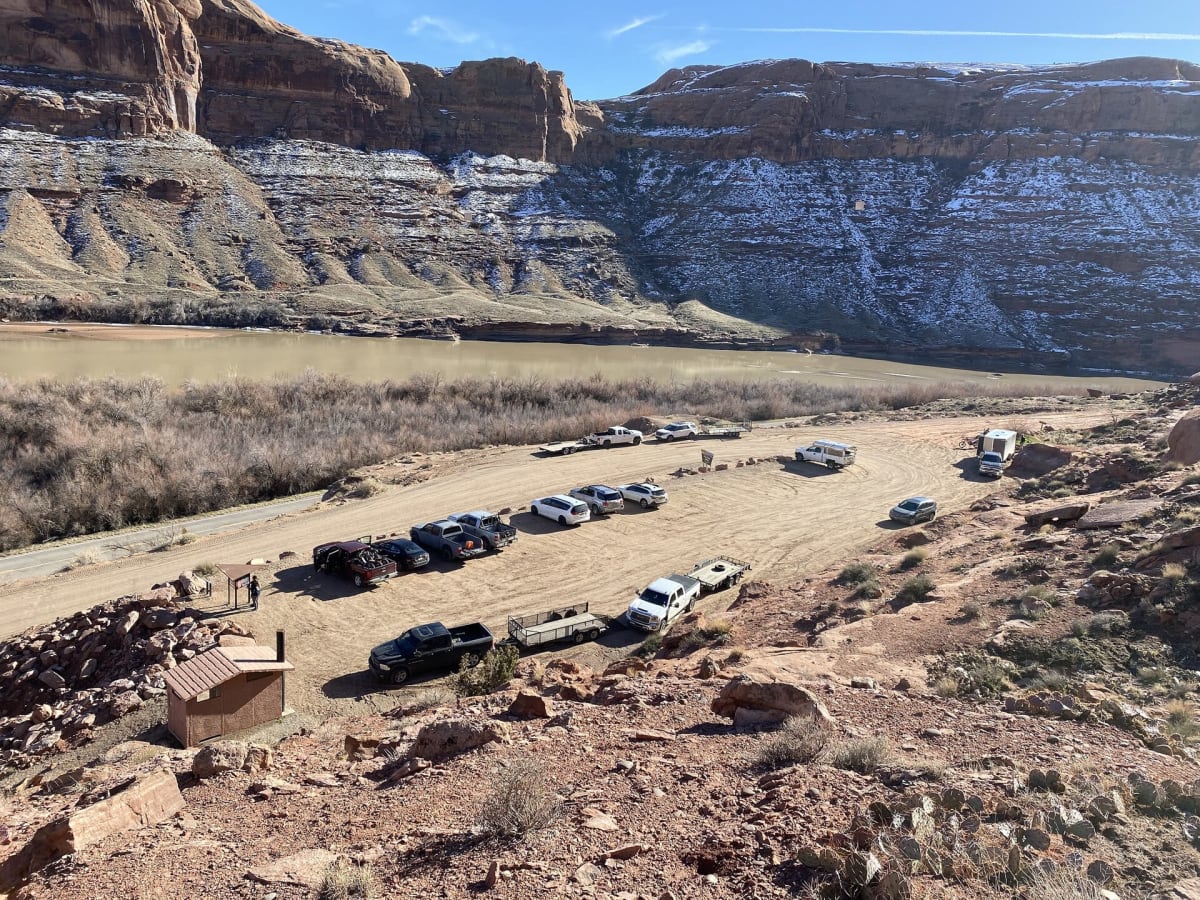
A classic Moab climb with dinosaur tracks at the start and big views from the mesa.
Photo: BLMUtah / Public domain / Wikimedia Commons
Nav gets you to the trailhead. On the trail, Follow trail shows the line and where you are on it — road directions don't work on dirt trails.
Length
8.2 mi
Time
2.5 hr
Difficulty
6/10 · Difficult
Managed by
BLM Moab Field Office
Trail line © OpenStreetMap contributors (ODbL).
Poison Spider Mesa leaves Potash Road along the Colorado River, passes dinosaur tracks near the trailhead and climbs ledges and sandy shelves onto the mesa, where slickrock routes lead toward Little Arch with views over Moab. The Waterfall and other ledges make lockers and good tires very helpful.
Waypoints
- 1Start of Poison Spider Trail
38.53332, -109.60759
- 2Poison Spider Trail, about 2 mi in
38.54075, -109.62614
- 3Poison Spider Trail, about 4 mi in
38.55466, -109.60704
- 4Poison Spider Trail, about 6 mi in
38.57291, -109.60290
- 5End of Poison Spider Trail
38.58479, -109.60532