
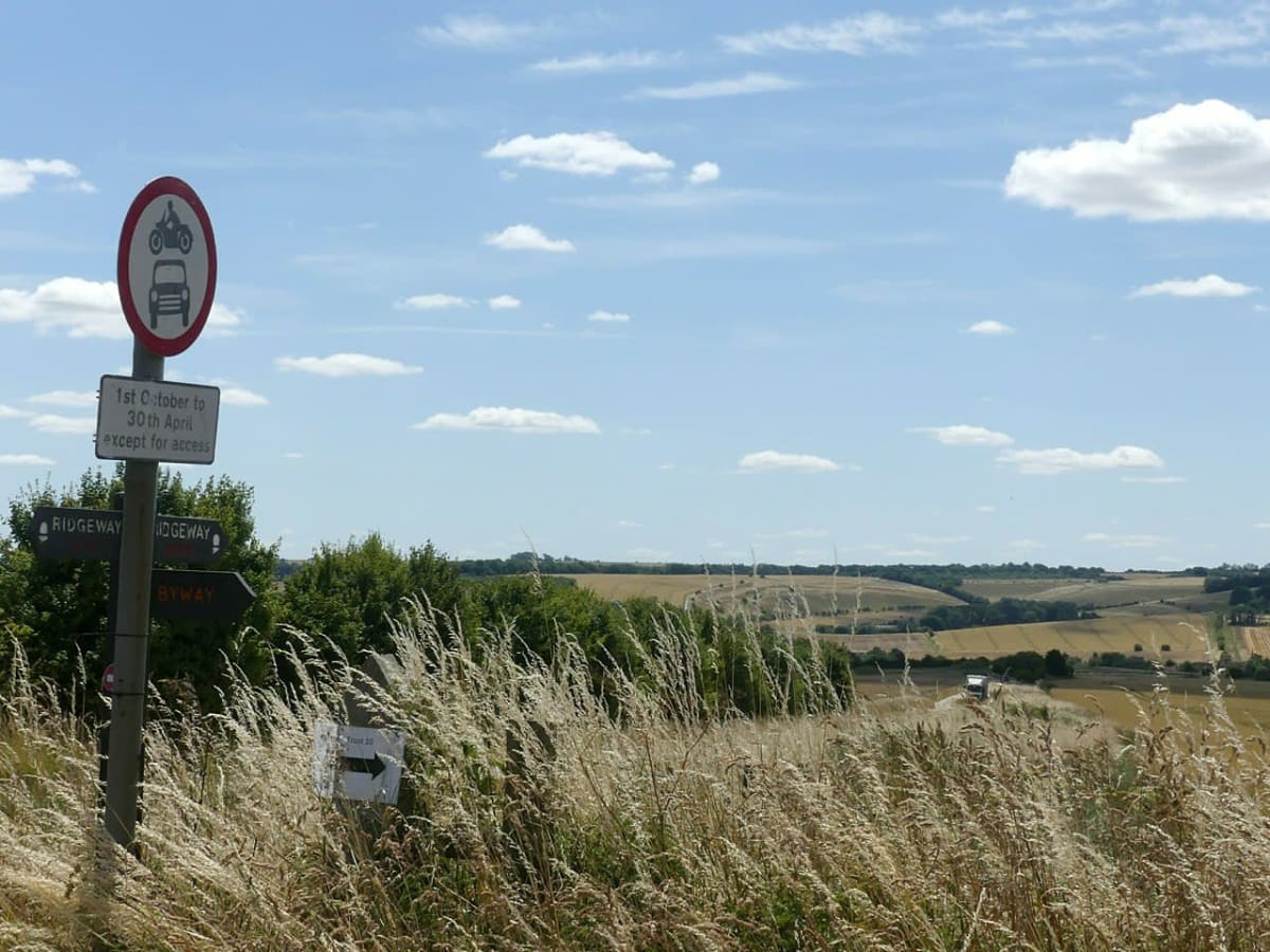
The Ridgeway: Overton Hill to Hackpen Hill
Marlborough Downs, Wiltshire, United Kingdom
Summer-only chalk byway along Britain's oldest road
Photo: Alan Murray-Rust / CC BY-SA 2.0 / Wikimedia Commons
Nav gets you to the trailhead. On the trail, Follow trail shows the line and where you are on it — road directions don't work on dirt trails.
The line joins the trail's waypoints in straight lines — it shows the general route, not every turn.
The Wiltshire start of the Ridgeway National Trail runs north from the A4 at Overton Hill along the open crest of the Marlborough Downs, past the sarsen-strewn Fyfield Down, to the B4041 crossing on Hackpen Hill. It is a wide, rutted chalk-and-flint byway with deep wheel ruts and puddles after rain. A seasonal Traffic Regulation Order closes this first section to vehicles from October to May, and gates at both ends enforce it.
Waypoints
- 1Overton Hill (Ridgeway start, A4)
Wikipedia Overton Hill 51°24′36″N 1°49′54″W; starting point of the Ridgeway, A4 runs past on the north side.
51.41000, -1.83173
- 2Fyfield Down sarsen fields
Wikipedia Fyfield Down 51°26′13″N 1°48′21″W (SU136709). Point is the centre of the down, about 1 km east of the byway.
51.43690, -1.80570
- 3Hackpen Hill (B4041 crossing)
Wikipedia Hackpen White Horse 51°28′21″N 1°49′03″W; the Ridgeway crosses the B4041 at the car park at the top of the hill, just above the horse.
51.47241, -1.81754