
All trails
Easy · 2/10
Red Gulch / Alkali Backway
Shell / Hyattville, Wyoming
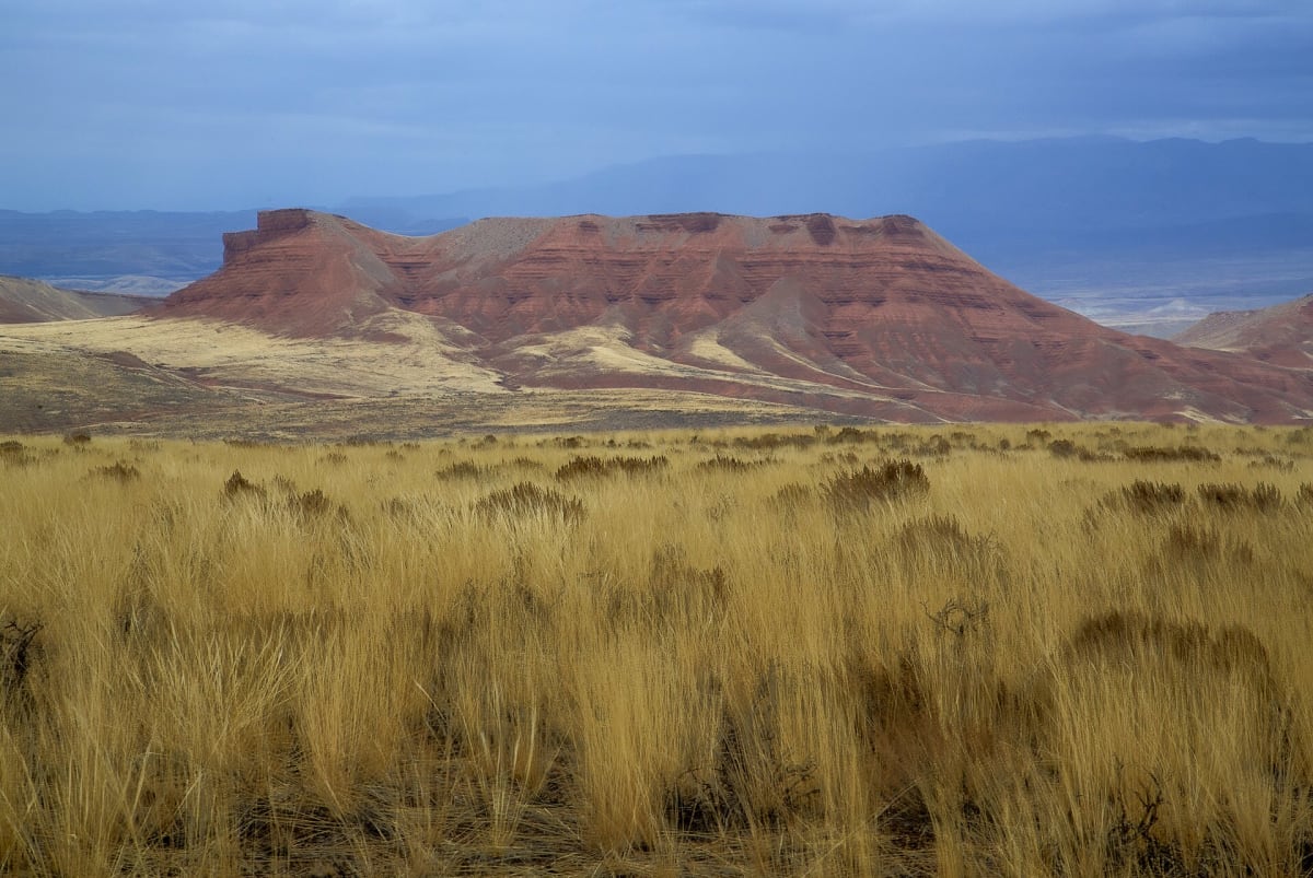
Red badlands and a dinosaur tracksite on the west slope of the Bighorns.
Photo: mypubliclands / Public domain / Wikimedia Commons
Nav gets you to the trailhead. On the trail, Follow trail shows the line and where you are on it — road directions don't work on dirt trails.
Length
35 mi
Time
2 hr
Difficulty
2/10 · Easy
Managed by
BLM Worland Field Office
Trail line © OpenStreetMap contributors (ODbL).
The Red Gulch/Alkali National Back Country Byway crosses colorful red badlands along the west slope of the Bighorn Mountains and passes the Red Gulch Dinosaur Tracksite. It is a graded dirt road that becomes very slick when wet.
Waypoints
- 1Start of Red Gulch Road
44.51983, -107.86159
- 2Red Gulch Road, about 9 mi in
44.43455, -107.75937
- 3Red Gulch Road, about 18 mi in
44.40426, -107.60549
- 4Red Gulch Road, about 26 mi in
44.35208, -107.59248
- 5End of Red Gulch Road
44.25331, -107.60336