
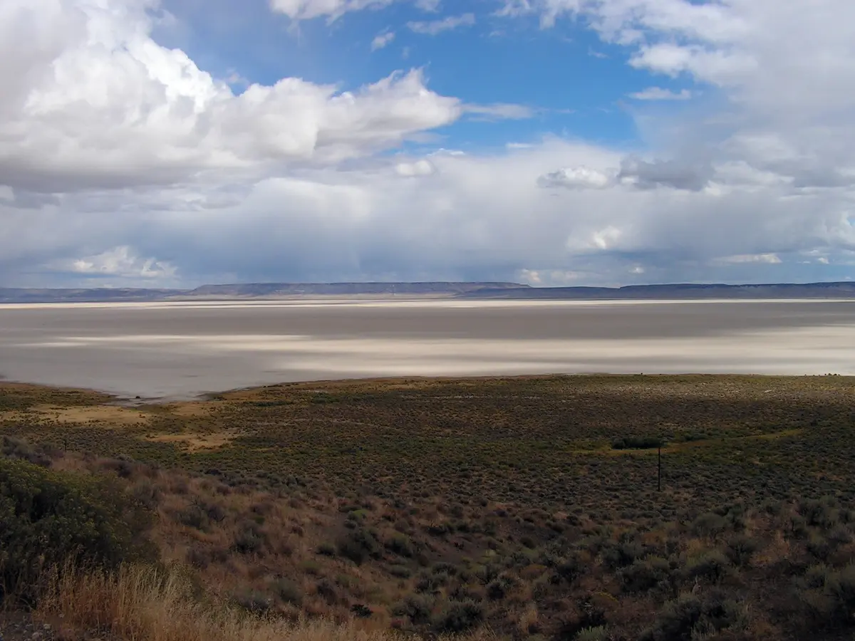
Alvord Desert Playa (Frog Springs access)
Fields / East Steens, Harney County, Oregon
Drive out onto a 12-mile dry lakebed beneath the east face of Steens Mountain
Photo: Sosobra at English Wikipedia / CC BY-SA 3.0 / Wikimedia Commons
Nav gets you to the trailhead. On the trail, Follow trail shows the line and where you are on it — road directions don't work on dirt trails.
The line joins the trail's waypoints in straight lines — it shows the general route, not every turn.
Below the east wall of Steens Mountain, the Alvord Desert is a 12-by-7-mile dry lake bed flat enough for land-speed attempts and small planes. From the East Steens Road near Alvord Hot Springs, the Frog Springs access road leads onto the playa, where you can drive freely once the clay is dry. BLM warns never to drive on any surface that is wet or even looks damp, because the clay becomes slick and sticky and towing out here is costly. There are no services, no water and only a vault toilet at Frog Springs.
Waypoints
- 1Alvord Hot Springs
Wikipedia coordinates; on the western edge of the playa beside the East Steens Road.
42.54417, -118.53389
- 2Frog Springs playa access
BLM Alvord Desert map marker; turn east on the Frog Springs Access Road to reach the playa (vault toilet).
42.55979, -118.53283
- 3Alvord Desert playa (center)
Wikipedia coordinates for the Alvord Desert (Wikipedia mirror); open driving on dry playa only.
42.53000, -118.46000