
Golden Road
Millinocket / North Maine Woods, Maine
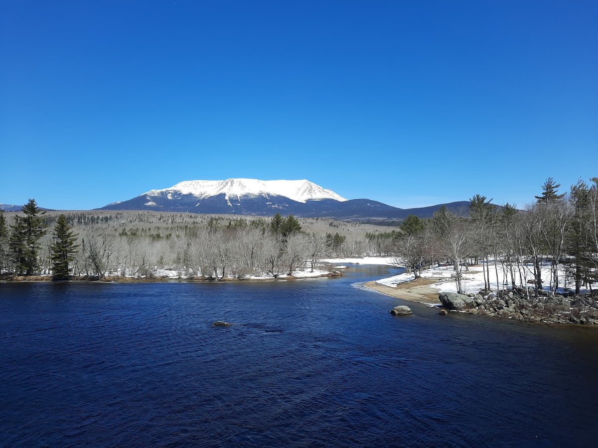
A 96-mile private logging road across the North Maine Woods, past Katahdin and the West Branch.
Photo: Michael Sipos / CC BY-SA 4.0 / Wikimedia Commons
Nav gets you to the trailhead. On the trail, Follow trail shows the line and where you are on it — road directions don't work on dirt trails.
Trail line © OpenStreetMap contributors (ODbL).
The Golden Road runs roughly 96 miles from near Millinocket west toward the Quebec border, past Abol Bridge with its classic view of Katahdin and along the West Branch of the Penobscot. It is a working logging road — gravel, fast logging trucks with the right of way, and no services for long stretches.
Waypoints
- 1Start of Golden Road
45.65093, -68.71929
- 2Golden Road, about 24 mi in
45.85104, -69.06897
- 3Golden Road, about 48 mi in
45.89716, -69.42994
- 4Golden Road, about 72 mi in
45.92967, -69.89931
- 5End of Golden Road
46.09287, -70.29051