
Arrowhead Trail (Cook County Road 16)
Hovland, Cook County (Arrowhead), Minnesota
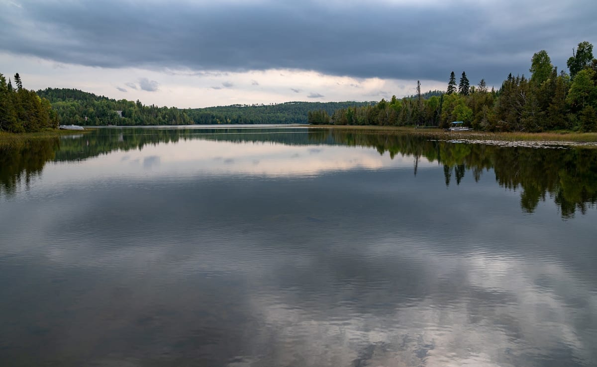
Gravel road to the BWCA edge at McFarland Lake
Photo: Tony Webster / CC BY 2.0 / Wikimedia Commons
Nav gets you to the trailhead. On the trail, Follow trail shows the line and where you are on it — road directions don't work on dirt trails.
The line joins the trail's waypoints in straight lines — it shows the general route, not every turn.
The Arrowhead Trail leaves MN 61 at Hovland and runs about 17 miles north to McFarland Lake, a jumping-off point for the Boundary Waters and the eastern end of the Border Route Trail. Beyond the paved lower section it's a wide, well-kept gravel road whose northern half climbs and drops over steep ridges. It ends at a small water access where a bridge spans the narrows between Little John and McFarland lakes. Watch for locals driving fast.
Waypoints
- 1Hovland (MN 61 & Arrowhead Trail)
47.83889, -89.97194
- 2Portage Brook bridge
13.1 mi north of MN 61
47.99857, -90.03612
- 3McFarland Lake Campground
Water access for BWCA entry points 68, 69, 70 and the Border Route Trail East
48.05360, -90.05539