
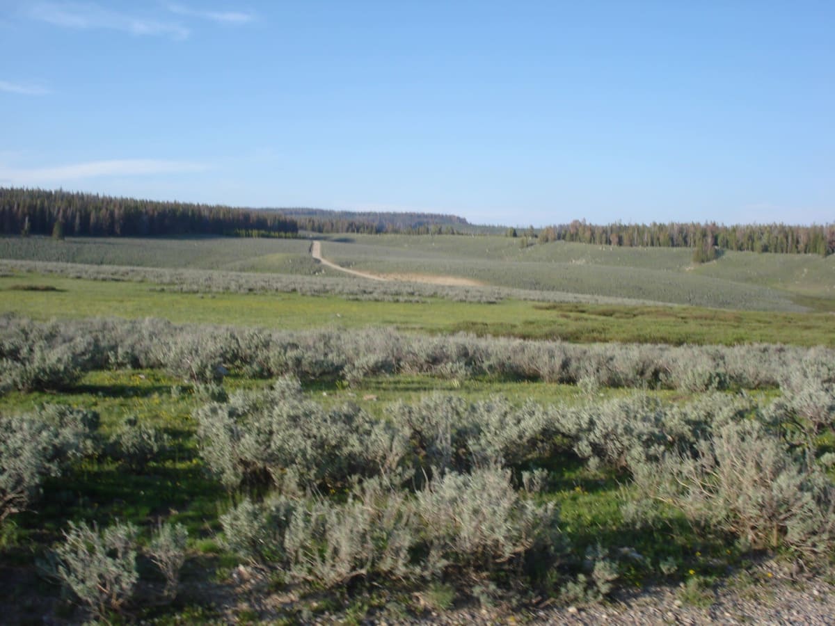
Union Pass Road
Dubois / Pinedale, Wyoming
Historic gravel crossing of the Continental Divide above Dubois
Photo: David Blaine from Spokane, USA / CC BY 2.0 / Wikimedia Commons
Nav gets you to the trailhead. On the trail, Follow trail shows the line and where you are on it — road directions don't work on dirt trails.
The line joins the trail's waypoints in straight lines — it shows the general route, not every turn.
Union Pass Road is a mostly unpaved backcountry route that links US-287 near Dubois with Pinedale, crossing the Continental Divide at 9,210 ft in the northern Wind River Range. The pass, named in 1860 by Capt. William Raynolds, sits on a triple divide that feeds the Wind/Missouri, Green/Colorado and Snake/Columbia systems, and an interpretive site with brass plaques marks the top. The Dubois climb is gravel; the Pinedale side is rougher, so a higher-clearance SUV is recommended and the full traverse takes about four hours one way.
Waypoints
- 1US-287 / Union Pass Road junction (Dubois)
HMdb marker #96313 at the intersection of US 287 and Union Pass Road, 43°35.942'N 109°47.106'W.
43.59903, -109.78509
- 2Union Pass (9,212 ft)
GNIS feature 1603861 as listed on passbagger.org: 43°28'53"N 109°52'36"W, Continental Divide.
43.48139, -109.87667
- 3Union Pass monument at FR 600 / Road 534
HMdb marker #180331 'Union Pass' on Union Pass Road (Forest Road 600) near Road 534: 43°28.857'N 109°52.498'W. Road continues ~40 mi west to Pinedale via FS-370600 and WY-352.
43.48095, -109.87497