
Roxbury Gap Road
Roxbury / Warren, Vermont
A steep gravel climb over the Northfield Range with big views of the Mad River Valley.
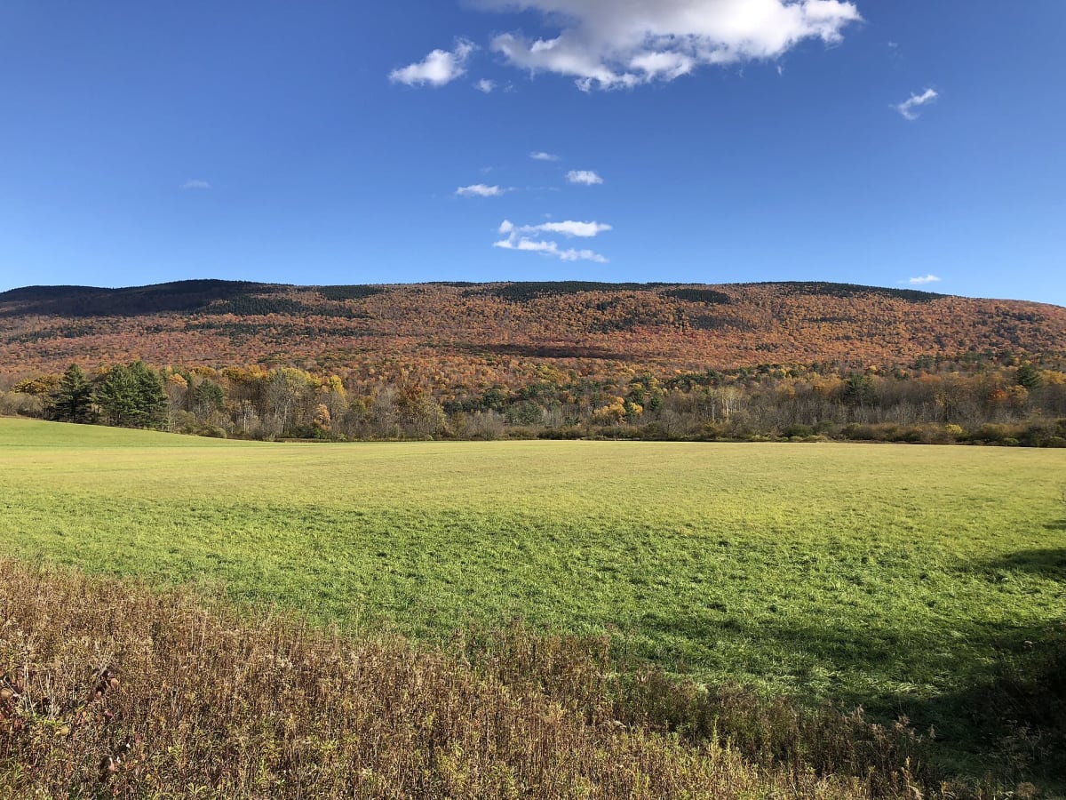
Photo: Representative photo, not this location (Famartin / CC BY-SA 4.0 / Wikimedia Commons)
Nav gets you to the trailhead. On the trail, Follow trail shows the line and where you are on it — road directions don't work on dirt trails.
Trail line © OpenStreetMap contributors (ODbL).
Roxbury Gap Road climbs steeply on gravel from the Mad River Valley over the Northfield Mountains to Roxbury, with wide views west to the main Green Mountain ridge, especially in fall. It is an easy but steep drive when dry and can be rutted in spring. The mapped line covers the steep Roxbury side, where it is signed Warren Mountain Road.
Waypoints
- 1Start of Warren Mountain Road
44.11327, -72.77943
- 2Warren Mountain Road, about 1 mi in
44.11271, -72.76568
- 3Warren Mountain Road, about 2 mi in
44.10662, -72.75397
- 4Warren Mountain Road, about 2 mi in
44.09800, -72.74343
- 5End of Warren Mountain Road
44.09316, -72.73323