
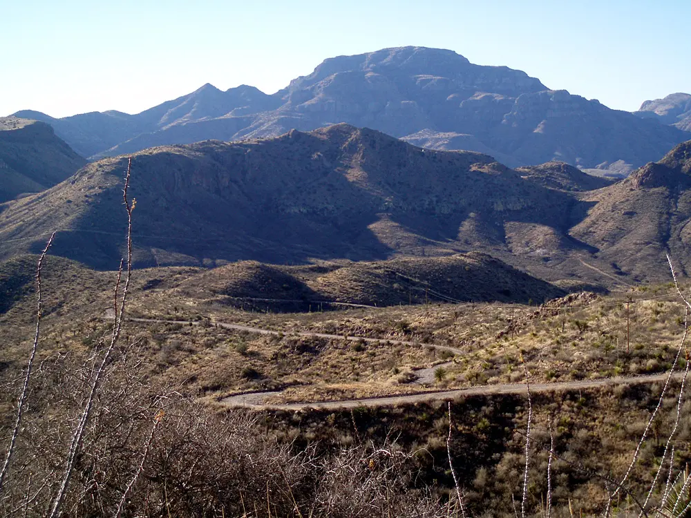
Pinto Canyon Road (FM 2810, Marfa to Ruidosa)
Chinati Mountains, Presidio County, Texas
Grassland blacktop that plunges as dirt through Pinto Canyon to the Rio Grande
Photo: jrossz71 ( talk ) / CC BY-SA 3.0 / Wikimedia Commons
Nav gets you to the trailhead. On the trail, Follow trail shows the line and where you are on it — road directions don't work on dirt trails.
The line joins the trail's waypoints in straight lines — it shows the general route, not every turn.
Ranch Road 2810 heads south-west from Marfa across the high grasslands for about 32 miles, then the pavement ends at the canyon rim and roughly 20 miles of county-maintained dirt drop steeply through Pinto Canyon beneath the Chinati Mountains to the river village of Ruidosa on FM 170. The road is graded but dusty and washboarded, with blind curves, steep drop-offs and wash crossings that turn slick and muddy after rain. There is no cell service and no help for miles.
Waypoints
- 1Marfa
Wikipedia coordinates. Fuel up; FM 2810 is paved for about 32 miles south-west to the canyon rim where the dirt begins (onX, Texas Monthly).
30.31056, -104.02556
- 2Pinto Canyon
GNIS valley coordinates via MyTopo (about 4,077 ft); the dirt road descends steeply through upper Pinto Canyon here. Use low gear on the descent.
29.90544, -104.48963
- 3Ruidosa (FM 170)
Wikipedia coordinates. Road meets paved FM 170 (River Road) at Ruidosa, home to the Sacred Heart Mission ruins; Presidio is south-east on FM 170.
29.98306, -104.67944