
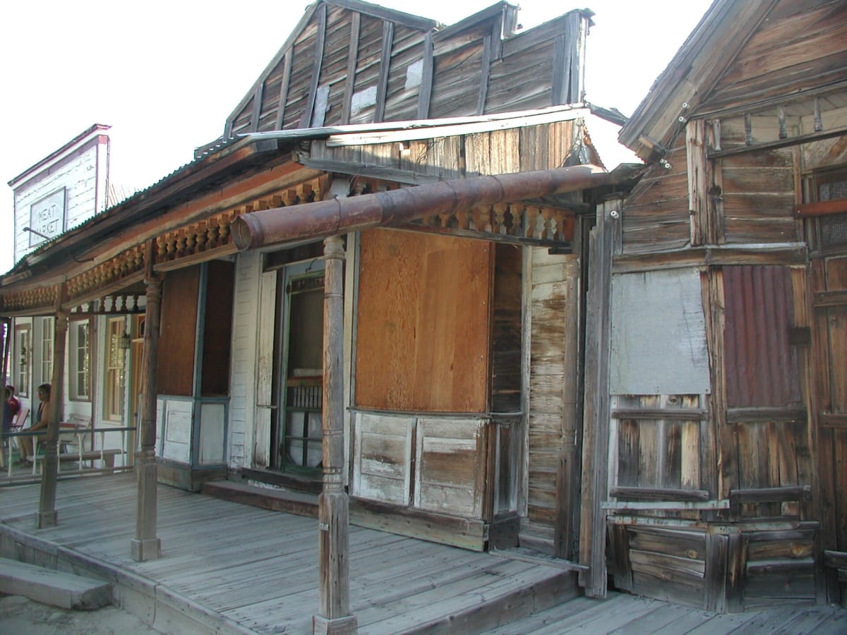
Silver City Road
Murphy / Silver City, Owyhee County, Idaho
Climb 4,000 ft into the Owyhee Mountains to a living ghost town
Photo: Bureau of Land Management / Public domain / Wikimedia Commons
Nav gets you to the trailhead. On the trail, Follow trail shows the line and where you are on it — road directions don't work on dirt trails.
The line joins the trail's waypoints in straight lines — it shows the general route, not every turn.
This county road leaves Highway 78 near Murphy and climbs nearly 4,000 ft through the Owyhee Mountains, with steep grades, hairpins and a blind-cornered drop to Sinker Creek before it reaches Jordan Creek and the 1860s mining town of Silver City. The upper miles are studded with 2 to 6 inch rocks, so a high-clearance rig is the better tool. Silver City keeps around 75 historic buildings and the Idaho Hotel, but there are no other services.
Waypoints
- 1Highway 78 / Silver City Road junction
War Eagle Mines historical marker at the SH-78 (milepost 34) / Silver City Road intersection, per HMdb.
43.15863, -116.50893
- 2Ruby City site
Wikipedia coordinates for the vanished 1860s camp on Jordan Creek, about a mile below Silver City.
43.02611, -116.73278
- 3Silver City
Town coordinates from Wikipedia, about 6,170 ft. 5 mph speed limit in town; primitive campground on Jordan Creek.
43.01694, -116.73306