
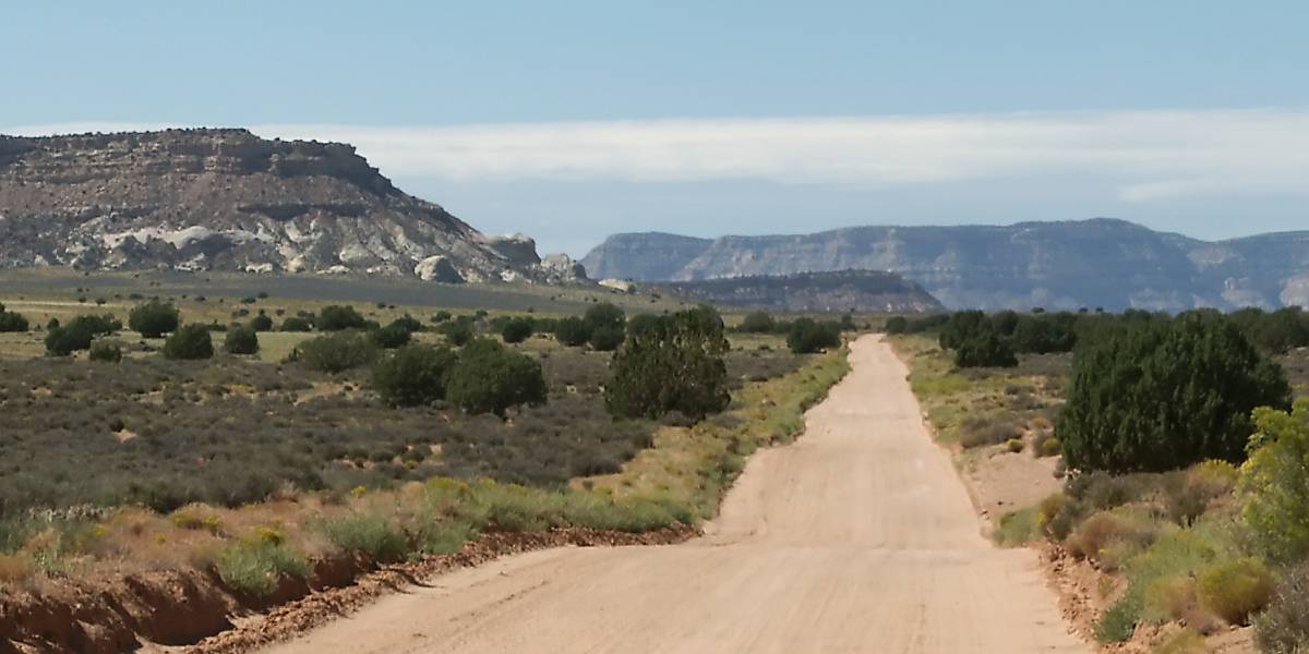
Hole-in-the-Rock Road
Escalante, Utah
A long desert road to where Mormon pioneers lowered wagons to the Colorado River.
Photo: G. Thomas at en.wikipedia / Public domain / Wikimedia Commons
Nav gets you to the trailhead. On the trail, Follow trail shows the line and where you are on it — road directions don't work on dirt trails.
Trail line © OpenStreetMap contributors (ODbL).
Hole-in-the-Rock Road runs south from Escalante across the desert toward Lake Powell, following the route of the 1879–80 Hole-in-the-Rock expedition. Most of it is graded dirt with washboard, giving access to slot canyons like Peek-a-boo and Spooky; the final miles are rocky and need high clearance.
Waypoints
- 1Start of Hole-in-the-Rock Road
37.72433, -111.52662
- 2Hole-in-the-Rock Road, about 14 mi in
37.56557, -111.38978
- 3Hole-in-the-Rock Road, about 28 mi in
37.44847, -111.19427
- 4Hole-in-the-Rock Road, about 42 mi in
37.31844, -111.04175
- 5End of Hole-in-the-Rock Road
37.25660, -110.90101