
Mormon Well Road
Desert National Wildlife Refuge, Sheep Range, Clark County, Nevada
41 rough miles across the Desert National Wildlife Refuge
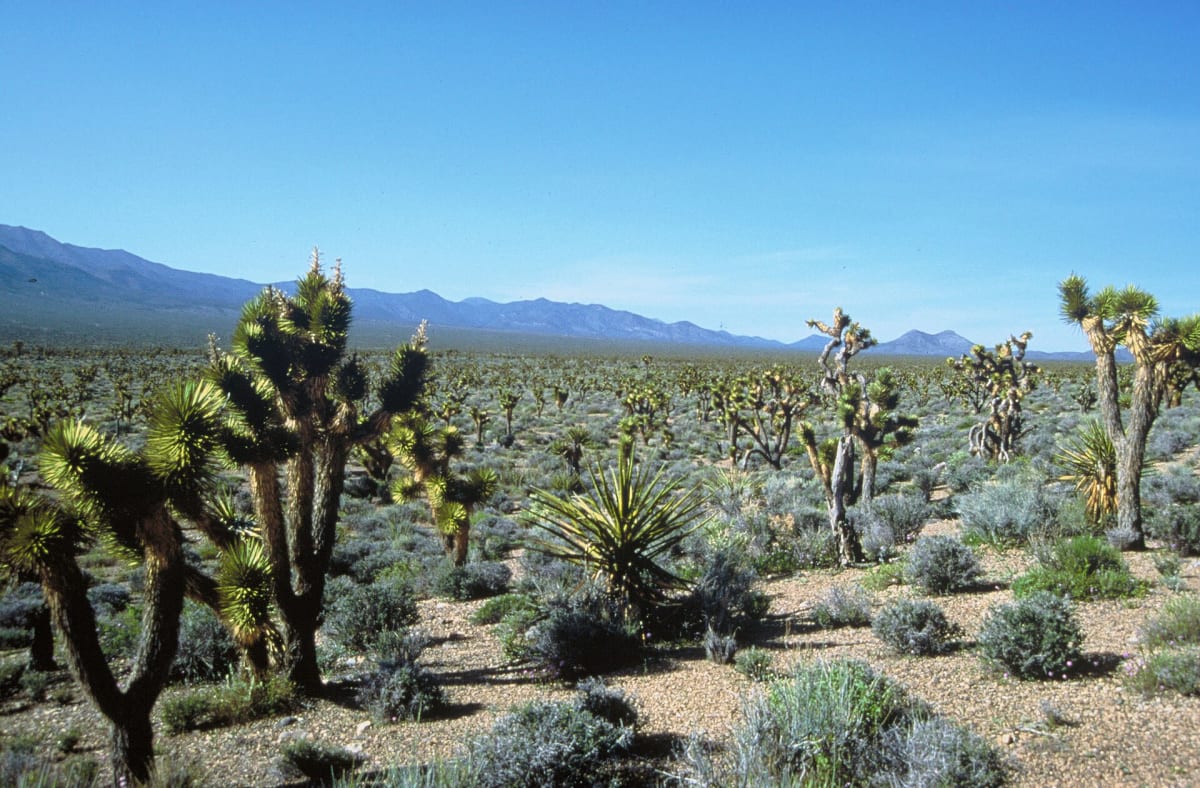
Photo: Representative photo, not this location (Department of the Interior. U.S. Fish and Wildlife Service. National Conservation Training Center. 10/1997-8888 / Public domain / Wikimedia Commons)
Nav gets you to the trailhead. On the trail, Follow trail shows the line and where you are on it — road directions don't work on dirt trails.
The line joins the trail's waypoints in straight lines — it shows the general route, not every turn.
A long, remote dirt road crossing the Desert National Wildlife Refuge from Corn Creek to US 93, climbing from Mojave scrub and a Joshua tree forest through Peek-a-boo Canyon to ponderosa pine at 6,700-foot Mormon Pass. It passes the historic Mormon Well corral and spring and a small campground at Desert Pass. Dry conditions suit high-clearance 2WD at low speed, but the section north of Mormon Well is rougher and storms can make 4WD necessary.
Waypoints
- 1Corn Creek Rd at Mormon-Alamo junction
Near Corn Creek Field Station off US 95
36.43808, -115.35654
- 2Gass Peak Road junction
Mile 4.4
36.43986, -115.28449
- 3Yucca Forest Overlook
Joshua tree forest
36.47893, -115.19540
- 4Peek-a-boo Canyon
Tight blind corners
36.50276, -115.15149
- 5Mormon Pass
About 6,700 ft; Desert Pass Camp adjacent
36.62253, -115.11110
- 6Mormon Well (historic corral)
Rougher road north of here
36.64625, -115.09942
- 7US 93 at Mormon Well Road
North end on US 93
36.76753, -114.94028