
Monday Creek OHV Trail System
Nelsonville / Perry, Hocking and Athens counties, Ohio
75 miles of wooded ATV and dirt bike trail north of Nelsonville
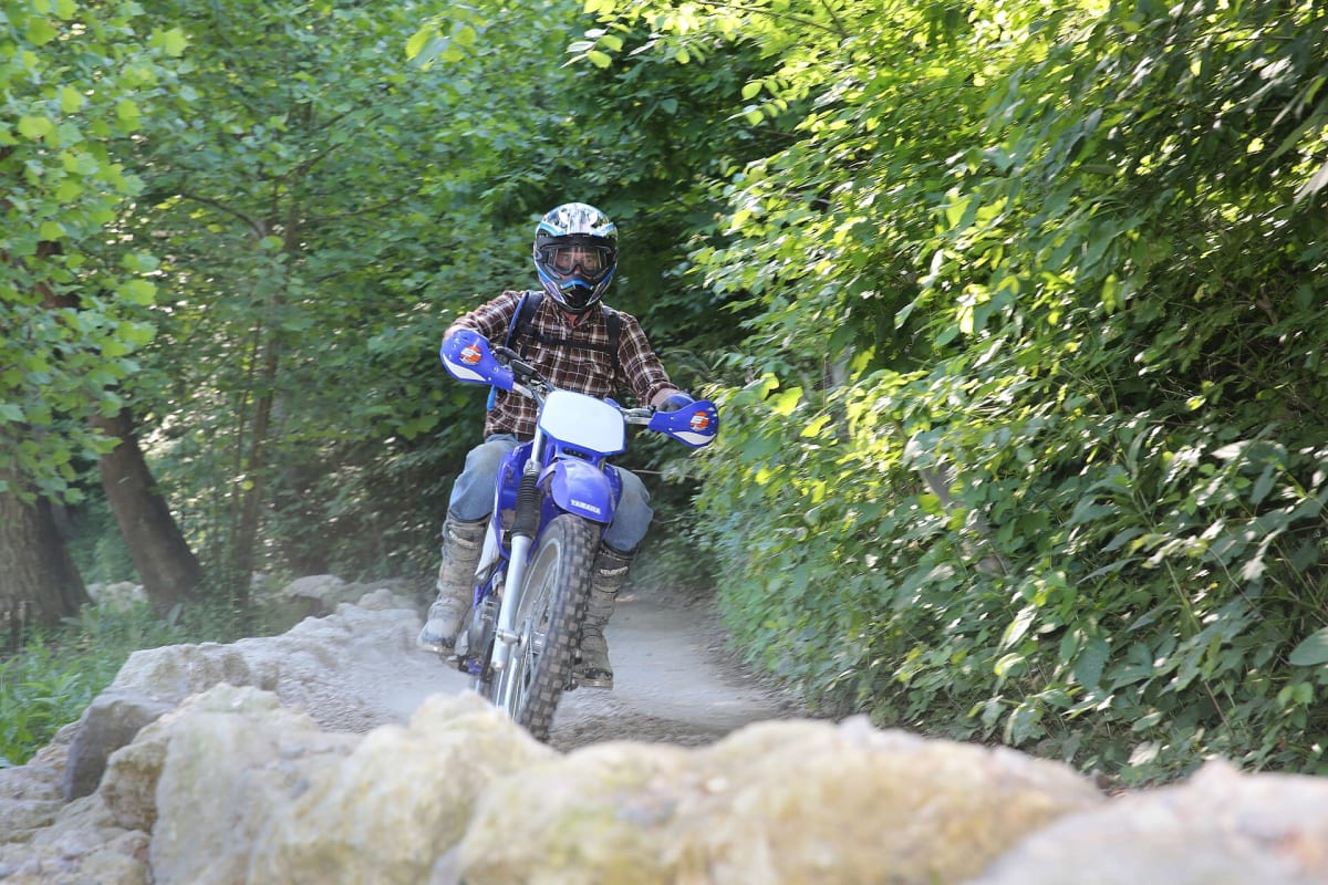
Photo: Representative photo, not this location (Forest Service Photography / Public domain / Wikimedia Commons)
Nav gets you to the trailhead. On the trail, Follow trail shows the line and where you are on it — road directions don't work on dirt trails.
The line joins the trail's waypoints in straight lines — it shows the general route, not every turn.
The largest OHV network in Ohio's Wayne National Forest, with about 75 miles of designated trail across old mining hills between New Straitsville, Monday Creek and the Long Ridge area. Trails are narrow and wooded, with climbs, ruts and creek crossings, and they are built for ATVs and dirt bikes no wider than 50 inches. A Wayne trail permit and Ohio APV registration are required, and the system closes to motor vehicles over winter.
Waypoints
- 1New Straitsville Trailhead
On SR 595 about 2 mi south of New Straitsville; loading ramp and vault toilets
39.57208, -82.24456
- 2Monday Creek Trailhead
On CR 24 between Carbon Hill and Buchtel
39.49175, -82.21238
- 3Long Ridge Trailhead
Off SR 78 north of Buchtel; 13-mile Long Ridge loops join the Monday Creek system
39.48890, -82.16657