
Where the pavement ends
4×4 and Jeep trails rated 1–10, with what each one takes, when it's open and who manages it. Drive to the trailhead with Nav, then follow the trail line on the map.
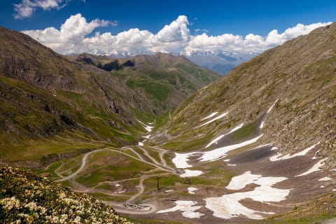 Difficult · 6/10
Abano Pass Road to Tusheti (Pshaveli–Omalo)
Kakheti – Tusheti, Georgia
42 mi · High-clearance 4x4; experienced mountain driver
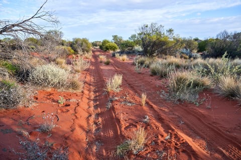 Difficult · 6/10
Anne Beadell Highway
Great Victoria Desert, South Australia to Western Australia, Australia
823 mi · Well-prepared 4x4 with long-range tanks, ideally two vehicles
 Difficult · 7/10
Antofagasta de la Sierra to Antofalla and Abra Antofalla
Puna de Atacama, Antofagasta de la Sierra, Catamarca, Argentina
125 mi · Equipped 4x4 with low range, sand recovery gear and long-range fuel; travel in convoy
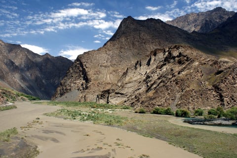 Difficult · 7/10
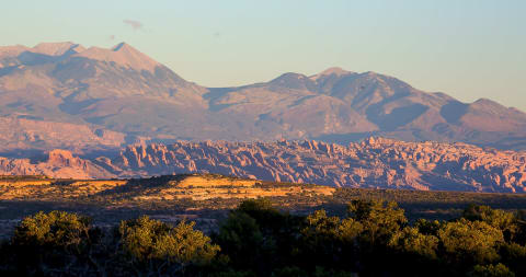
Bartang Valley Road
Gorno-Badakhshan (Rushon District), Tajikistan
80 mi · High-clearance 4x4 with low range; experienced driver
 Difficult · 7/10
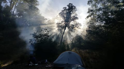
Behind the Rocks
Moab, Utah
14 mi · Modified 4×4 — lockers and 33"+ tires
 Difficult · 7/10
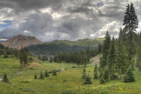
Billy Goat Bluff Track
Victorian High Country, Australia
5.2 mi · 4×4 with low range; experienced driver
 Difficult · 7/10
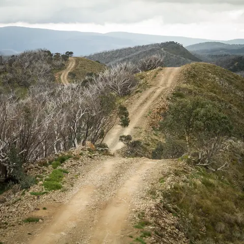
Black Bear Pass
Ouray / Telluride, Colorado
11 mi · Short-wheelbase, high-clearance 4×4 with low range and an experienced driver
 Difficult · 6/10
Blue Rag Range Track
Alpine National Park, Victorian High Country, Australia
10 mi · High-clearance 4WD with low range and good suspension; no trailers
 Difficult · 6/10
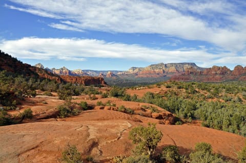
Broken Arrow Trail
Sedona, Arizona
3.7 mi · High-clearance 4WD with skid plates; street-legal only; not for extra-wide or extra-long rigs
 Difficult · 6/10
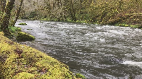
Browns Camp OHV Area & Firebreak 5 (Tillamook State Forest)
Gales Creek / Banks, Coast Range west of Portland, Washington & Tillamook counties, Oregon
10 mi · Modified 4x4 for Firebreak 5 (33-35 in. tires, lockers, winch); easier loops for stock high-clearance 4x4 and OHVs
 Difficult · 7/10
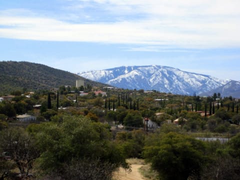
Charouleau Gap
Tucson / Oracle, Arizona
18 mi · Modified 4×4 — lockers and 33"+ tires
 Difficult · 6/10
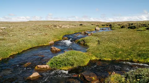
F578 Arnarvatnsheiði (Arnarvatnsvegur)
Arnarvatnsheiði, Western Highlands (Vesturland / Norðurland vestra), Iceland
49 mi · High-clearance 4x4 with good mud tyres; a modified jeep is better on the southern half
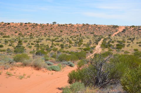 Difficult · 7/10
French Line (Simpson Desert)
Munga-Thirri–Simpson Desert, Australia
104 mi · Prepared 4×4 — sand flag, recovery gear, low tyre pressures
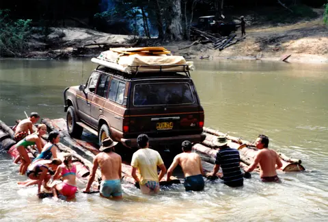 Difficult · 7/10
Frenchmans Track (Cape York)
Cape York Peninsula, Far North Queensland, Australia
55 mi · High-clearance 4WD with low range, snorkel and traction aids; no trailers
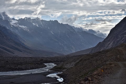 Difficult · 6/10
Gramphu–Batal Road & Chandra Taal
Lahaul, Lahaul and Spiti, Himachal Pradesh, India
29 mi · High-clearance 4x4 recommended; adventure motorcycles common.
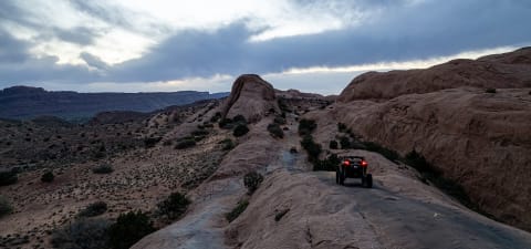 Difficult · 7/10
Hell's Revenge
Moab — Sand Flats, Utah
6.5 mi · Modified 4×4 — lifted, 33"+ tires; lockers recommended
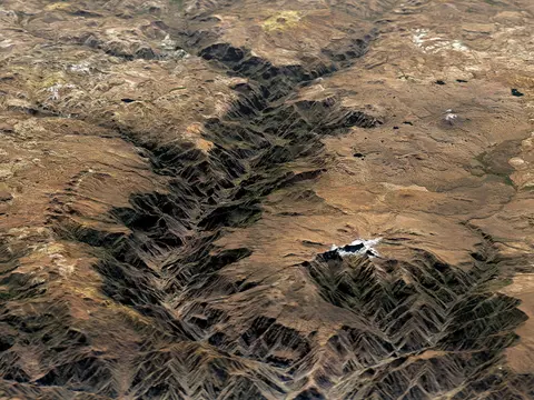 Difficult · 6/10
Huacullo to Cotahuasi via Abra Huarcaya
Cotahuasi Subbasin Landscape Reserve, La Unión, Arequipa Region, Peru
109 mi · Capable high-clearance 4x4, fully self-sufficient
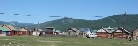 Difficult · 6/10
Jigleg Pass Road (Khövsgöl to Renchinlhümbe)
Khövsgöl Province, Mongolia
41 mi · High-clearance 4x4 suited to bog and wet ground
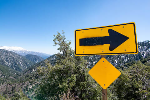 Difficult · 7/10
John Bull Trail
Big Bear, California
5.6 mi · Modified 4×4 — lockers and 33"+ tires
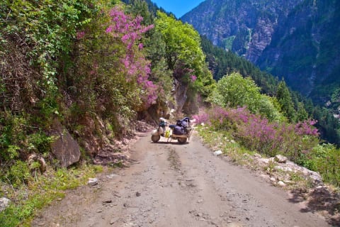 Difficult · 6/10
Kishtwar–Killar Road (Cliffhanger)
Kishtwar district (J&K) to Pangi, Himachal Pradesh, India
71 mi · High-clearance 4x4 with low range and an experienced driver
 Difficult · 6/10
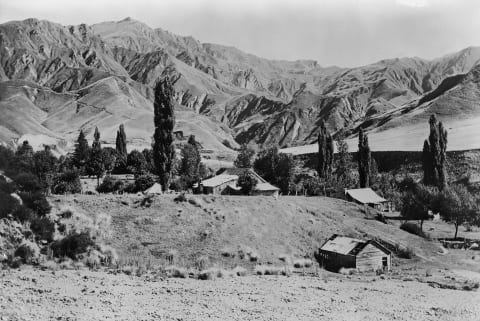
Lockhart Basin Road
Moab / Indian Creek, Utah
37 mi · High-clearance 4WD with low range; lockers, skid plates and a winch recommended for the northern section
 Difficult · 6/10
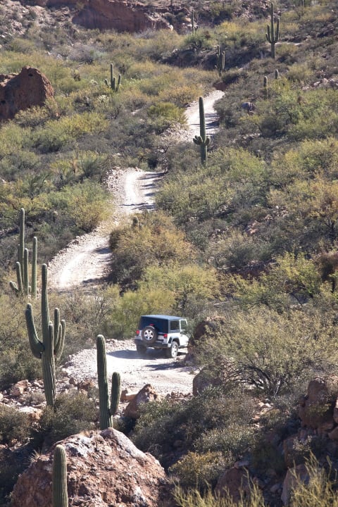
Macetown Road
Queenstown Lakes, New Zealand
9.3 mi · Capable 4WD with off-road tyres and a snorkel; experienced drivers only
 Difficult · 7/10
Martinez Canyon (East)
Florence / Gila River, Arizona
3.1 mi · Modified 4×4 — lockers and 33"+ tires
 Difficult · 6/10
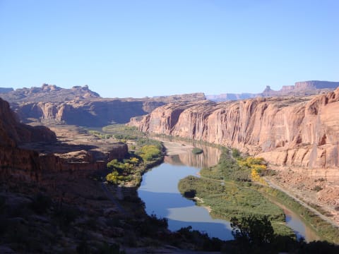
Matroosberg 4x4 Trail
Hex River Mountains, near Ceres, Western Cape, South Africa
9 mi · A high-clearance 4x4 with low range. Rocky ledges and steep loose climbs are harder than they look.
 Difficult · 7/10
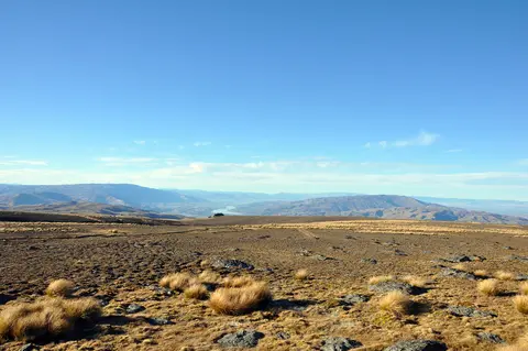
Moab Rim
Moab, Utah
3.8 mi · Modified 4×4 — lockers and 33"+ tires
 Difficult · 6/10
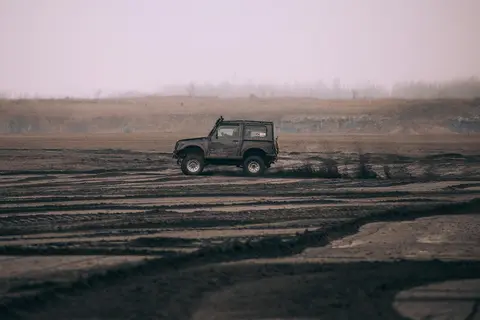
Old Woman Range Road (Kopuwai 4WD Road from Duffers Saddle)
Old Woman Range / Kopuwai Conservation Area, Central Otago, New Zealand
22 mi · High-clearance 4WD with low range and mud-capable tyres; not for soft-roaders or rental cars
 Difficult · 6/10
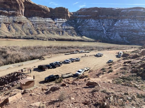
Ongeluksnek Pass
Near Matatiele, Eastern Cape / Lesotho border, South Africa
17 mi · A high-clearance 4x4 with low range is required, and diff locks are recommended.
 Difficult · 6/10
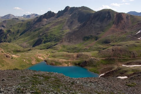
Poison Spider Mesa
Moab, Utah
8.2 mi · Modified 4×4 — 33"+ tires; lockers help
 Difficult · 7/10
Poughkeepsie Gulch
Lake Como / Silverton, Colorado
3.8 mi · Modified 4×4 — lockers and 33"+ tires recommended
 Difficult · 7/10
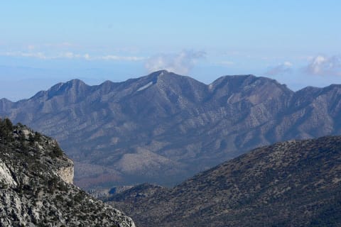
Red Cone
Montezuma / Hall Valley, Colorado
5.9 mi · High-clearance 4×4 with low range; steep, loose descent
 Difficult · 6/10
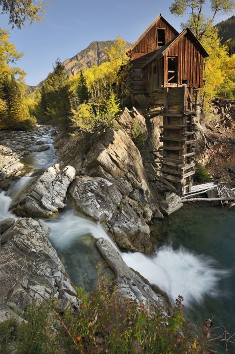
Rocky Gap Road
Red Rock Canyon / Spring Mountains (Las Vegas), Nevada
8.9 mi · High-clearance 4WD with low range; lifted/locked rigs and skilled drivers for the west-side washout
 Difficult · 7/10
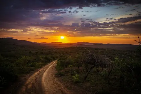
Schofield Pass
Marble / Crested Butte, Colorado
5 mi · Experienced driver in a capable 4×4
 Difficult · 7/10
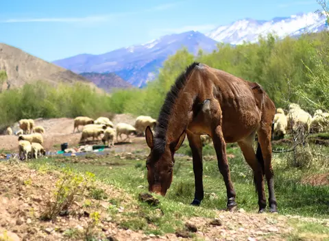
Tizi Tagountsa Helical Tunnel Piste (Agoudim to Ait Sidi Mhamed)
Eastern High Atlas, Midelt / Drâa-Tafilalet, Morocco
28 mi · Short-wheelbase high-clearance 4x4 with low range; not suitable for long vehicles or trailers
 Difficult · 6/10
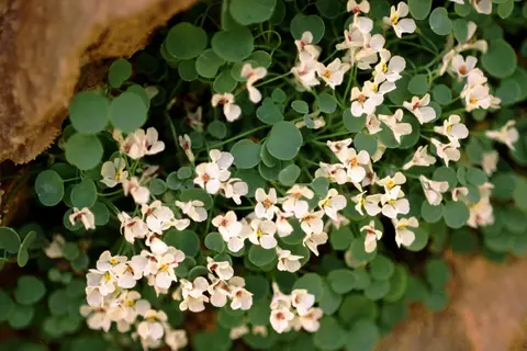
Tizi n'Ait Imi Piste (Tabant to Ighil N'Oumgoun)
Central High Atlas, Azilal (Béni Mellal-Khénifra) to Ouarzazate (Drâa-Tafilalet), Morocco
38 mi · High-clearance 4x4; low range is helpful on the upper switchbacks
 Difficult · 7/10
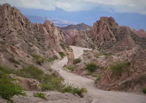
Tizi n'Oulaoun Piste (Amezri to Tamezrite N'Ait Affane)
Central High Atlas, Ouarzazate / Drâa-Tafilalet, Morocco
11 mi · High-clearance 4x4 with low range and strong tyres
 Difficult · 6/10
Tizi n'Targa Piste (from Tiwona)
Western High Atlas, Marrakesh-Safi, Morocco
23 mi · High-clearance 4x4 with low range
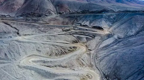 Difficult · 6/10
Tizi n'Teddi Three-Pass Track (from Tazeguezaoute)
High Atlas, Al Haouz / Marrakesh-Safi, Morocco
22.6 mi · High-clearance 4x4 with low range
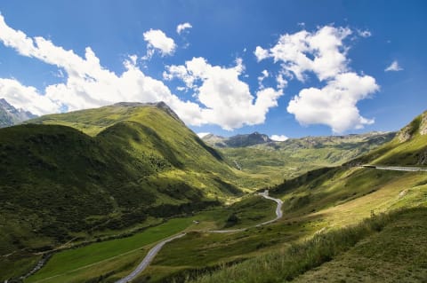 Difficult · 7/10
Tosor Pass Road
Issyk-Kul Region, Kyrgyzstan
21.6 mi · Well-equipped high-clearance 4x4 with off-road tyres; not for solo vehicles
 Difficult · 6/10
Windrock Park
Oliver Springs, Tennessee
300 mi · Stock 4x4s handle the easy roads; difficult and extreme trails need lockers, armor and 33"+ tires
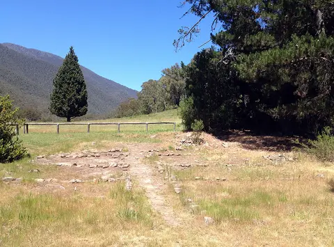 Difficult · 6/10
Zeka Spur Track to Wonnangatta Station
Alpine National Park, Wonnangatta Valley, Victorian High Country, Australia
20 mi · High-clearance 4WD with low range; trailers not recommended
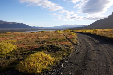 Difficult · 7/10
Þórsmörk road (F249)
Þórsmörk, Iceland
19 mi · Large, high-clearance 4×4 — the last fords are for experienced drivers only
Trail conditions, closures and rules change. Check with the land manager (forest or park service, local authority or landowner) before you go, stay on the trail, and travel with another vehicle. Ratings are a guide — your vehicle, the weather and recent damage can make a trail harder.