
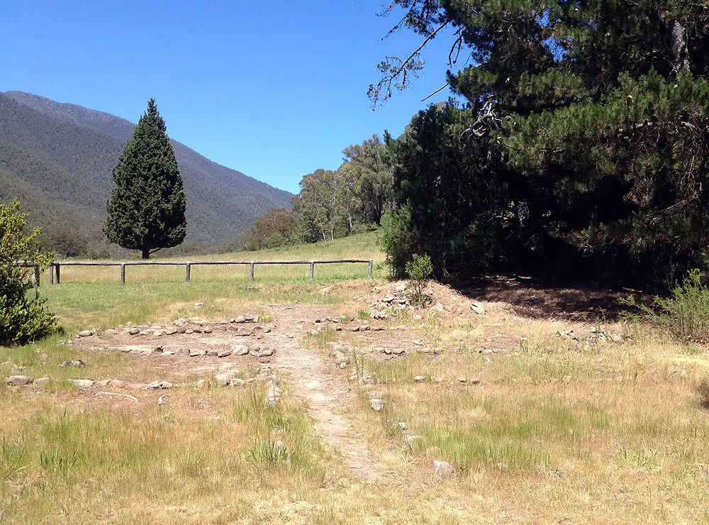
Zeka Spur Track to Wonnangatta Station
Alpine National Park, Wonnangatta Valley, Victorian High Country, Australia
A long, steep, washed-out spur from the Howitt Plains down into the remote Wonnangatta Valley.
Photo: Uberwolfe / CC BY-SA 3.0 / Wikimedia Commons
Nav gets you to the trailhead. On the trail, Follow trail shows the line and where you are on it — road directions don't work on dirt trails.
The line joins the trail's waypoints in straight lines — it shows the general route, not every turn.
Zeka Spur Track leaves Howitt Road on the Howitt Plains at about 1,590 m and drops roughly 1,100 m over about 30 km of sharp turns, washouts and loose, steep pinches to the Wonnangatta River and the old Wonnangatta Station homestead site. It is mostly downhill, and the slow pace (about 20 km/h, 2.5 hours or more) demands full concentration; towing is not advised. Two dry camps on the spur let you split the trip, and there is free camping beside the river with composting toilets only. Wasps are common in the valley, the area has no fuel or phone coverage, and conditions change quickly, so check Parks Victoria notices: the Humffray River Track is currently closed by a landslide.
Waypoints
- 1Howitt Road & Zeka Spur Track junction
Coordinates from the ExplorOz 'Howitt Rd & Zeka Spur Tk' place page (1,589 m), next to Howitt Plains Campground.
-37.21237, 146.69371
- 2Zeka Spur Track (upper spur)
Coordinates from the ExplorOz 'Zeka Spur Tk' place page (1,087 m).
-37.19387, 146.69507
- 3Wonnangatta Homestead Site
Coordinates from the ExplorOz 'Wonnangatta Homestead Site' place page (495 m). Free camping by the Wonnangatta River, composting toilets.
-37.20811, 146.83054