
All trails
Moderate · 4/10
Nevis Road
Bannockburn / Garston, New Zealand
One of New Zealand's highest public roads, over the Carrick Range into the Nevis valley.
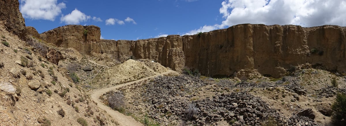
Photo: Representative photo, not this location (Cbabs / CC BY-SA 4.0 / Wikimedia Commons)
Nav gets you to the trailhead. On the trail, Follow trail shows the line and where you are on it — road directions don't work on dirt trails.
Length
42 mi
Time
2.5 hr
Difficulty
4/10 · Moderate
Managed by
Central Otago District Council
Trail line © OpenStreetMap contributors (ODbL).
Nevis Road climbs from Bannockburn over the Carrick Range — one of the highest public roads in New Zealand — and runs down the remote Nevis valley past gold-mining relics to Garston. It is unsealed with fords and is closed in winter.
Waypoints
- 1Start of Nevis Road
-45.13044, 169.15137
- 2Nevis Road, about 10 mi in
-45.17520, 169.00161
- 3Nevis Road, about 21 mi in
-45.29414, 168.91074
- 4Nevis Road, about 31 mi in
-45.41213, 168.79903
- 5End of Nevis Road
-45.45565, 168.69364