
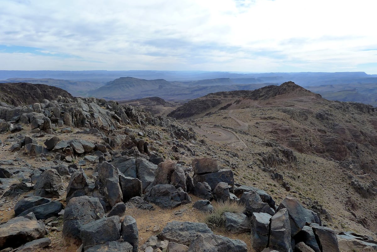
Tizi n'Tazazert (N'Kob to Iknioun across Jbel Saghro)
Jbel Saghro, Zagora and Tinghir Provinces, Drâa-Tafilalet, Morocco
Mostly unpaved 2,308 m crossing of the volcanic Jbel Saghro
Photo: Bernhard Holub / CC BY-SA 4.0 / Wikimedia Commons
Nav gets you to the trailhead. On the trail, Follow trail shows the line and where you are on it — road directions don't work on dirt trails.
The line joins the trail's waypoints in straight lines — it shows the general route, not every turn.
This mostly unpaved road runs 47.7 km north from the palm oasis of N'Kob, climbing with tight hairpins through the bare volcanic ridges of Jbel Saghro to the 2,308 m Tizi n'Tazazert, then dropping to Iknioun in the foothills of the High Atlas. The road is narrow and steep in places. There is a café and simple hotel at the summit, which makes a good place to stop on the way across.
Waypoints
- 1N'Kob
Wikipedia infobox 30°52′14″N 5°51′45″W.
30.87056, -5.86250
- 2Tizi n'Tazazert (2,308 m)
dangerousroads.org route map point labelled 'Tizi n'Tazazert'.
31.12386, -5.77123
- 3Iknioun
dangerousroads.org route map end point (Iknioun side).
31.17032, -5.72698