
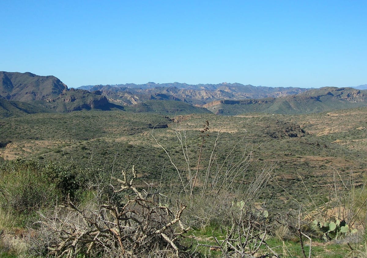
Apache Trail (SR 88) — Tortilla Flat to Roosevelt Dam
Superstition Mountains / Phoenix, Arizona
Historic cliffside dirt highway over Fish Creek Hill in the Superstitions
Photo: Bernard Gagnon / CC BY-SA 3.0 / Wikimedia Commons
Nav gets you to the trailhead. On the trail, Follow trail shows the line and where you are on it — road directions don't work on dirt trails.
The line joins the trail's waypoints in straight lines — it shows the general route, not every turn.
East of Tortilla Flat, State Route 88 turns to dirt and drops down the steep, one-lane switchbacks of Fish Creek Hill before following Apache Lake to Theodore Roosevelt Dam. After years of fire and flood closures, ADOT reopened mileposts 222–227 as a signed primitive road limited to high-clearance 4WD and UTVs, with no trailers. Monsoon storms still close it at times (most recently reopened in July 2026), so check ADOT/511 before you go.
Waypoints
- 1Tortilla Flat
Coordinates per Wikipedia 'Tortilla Flat, Arizona'. Arizona Highways puts the end of pavement about 5.5 miles east of here.
33.52639, -111.38972
- 2Fish Creek (foot of Fish Creek Hill)
Coordinates per TopoQuest GNIS entry 'Arizona Highway Maintenance Fish Creek Yard'. The steep primitive switchbacks run between Fish Creek Vista (MP 222) and the Fish Creek bridge (MP 223.5) per ADOT.
33.53894, -111.26901
- 3Apache Lake
Coordinates per Wikipedia 'Apache Lake' (lake point). SR 88 runs along the lake's south shore.
33.57861, -111.26333
- 4Theodore Roosevelt Dam
Coordinates per Wikipedia 'Theodore Roosevelt Dam'. ADOT's July 2026 notice covers the reopened stretch from Roosevelt Dam (MP 240) to Fish Creek Hill (MP 222).
33.67167, -111.16111