
Turkey Trail (FSR 798.B)
Cimarron National Grassland / Elkhart, Kansas
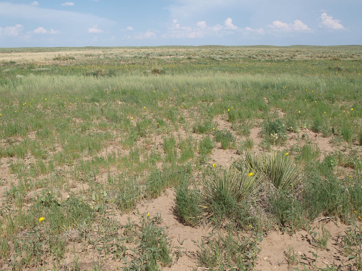
River-bottom two-track along the Cimarron in the Kansas grassland
Photo: Representative photo, not this location (Zorin09 / Public domain / Wikimedia Commons)
Nav gets you to the trailhead. On the trail, Follow trail shows the line and where you are on it — road directions don't work on dirt trails.
The line joins the trail's waypoints in straight lines — it shows the general route, not every turn.
The motorized part of the Turkey Trail follows Forest Service Road 798.B along the Cimarron River from Cottonwood Picnic Area to the Cimarron Recreation Area. It is a mostly hard-packed, wide two-track under cottonwoods, with a few sandy patches and water crossings, and it gets rougher and overgrown east of the campground. Beyond the recreation area the trail continues on foot only, so turn around there.
Waypoints
- 1Cottonwood Picnic Area
Trail starts at the far east end of the picnic area, just east of KS 27, about 7 mi north of Elkhart
37.11947, -101.89427
- 2Cimarron Campground
12 sites under cottonwoods, $7/night; trail gets rougher east of here
37.13547, -101.82402
- 3Cimarron Group Site (end of motorized section)
Cimarron Recreation Area; East Turkey Trail #1852 beyond is non-motorized
37.13611, -101.82018