
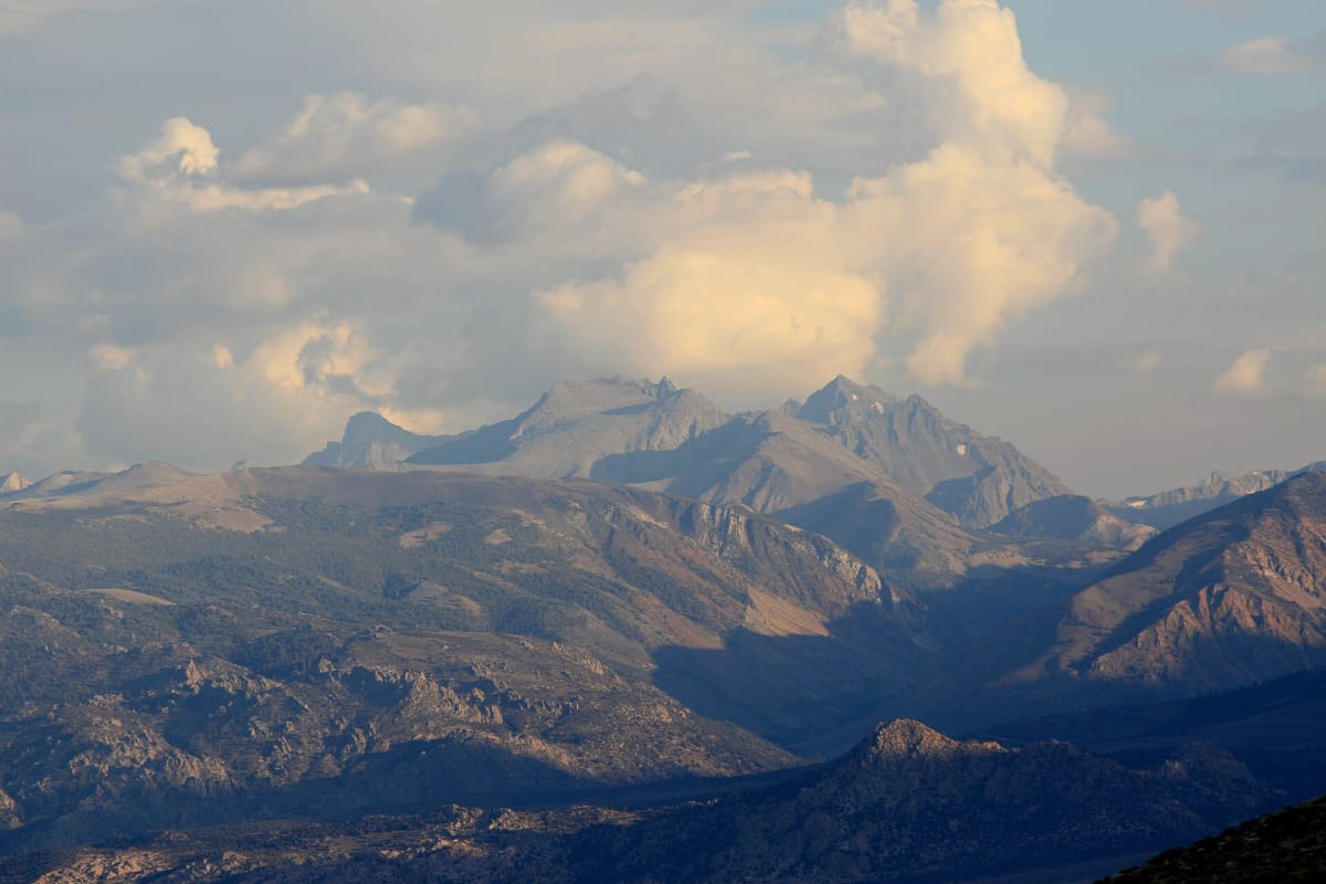
Coyote Flat Road
Bishop / Eastern Sierra, California
Steep, rocky climb to a 10,000-ft plateau facing the Palisade Glacier
Photo: Representative photo, not this location (Dcrjsr / CC BY 3.0 / Wikimedia Commons)
Nav gets you to the trailhead. On the trail, Follow trail shows the line and where you are on it — road directions don't work on dirt trails.
The line joins the trail's waypoints in straight lines — it shows the general route, not every turn.
A rough Forest Service road system above Bishop that climbs from the Coyote Valley road onto Coyote Flat, a broad plateau near 10,000 ft with views to the Palisade Glacier. The guidebook section from the 8S18/7S10 junction runs about 8.6 miles past Sanger Meadow and below Sugarloaf to campsites near Baker Creek, with spurs to Funnel and Rocky Bottom lakes. Inyo NF calls the road steep and rocky and recommends high-clearance 4WD.
Waypoints
- 1Coyote Flat Trail start (8S18 / 7S10 junction)
Reached from Bishop via Reata Rd and the steep Coyote Valley road; take the left fork
37.24400, -118.49250
- 2Coyote Flat
Plateau near 9,977 ft; Palisade Glacier visible from the south end
37.20021, -118.47122
- 3Baker Creek campsites
Primitive sites with pit toilets; trail over Sugarloaf to Big Pine beyond is very rough
37.16867, -118.47967