
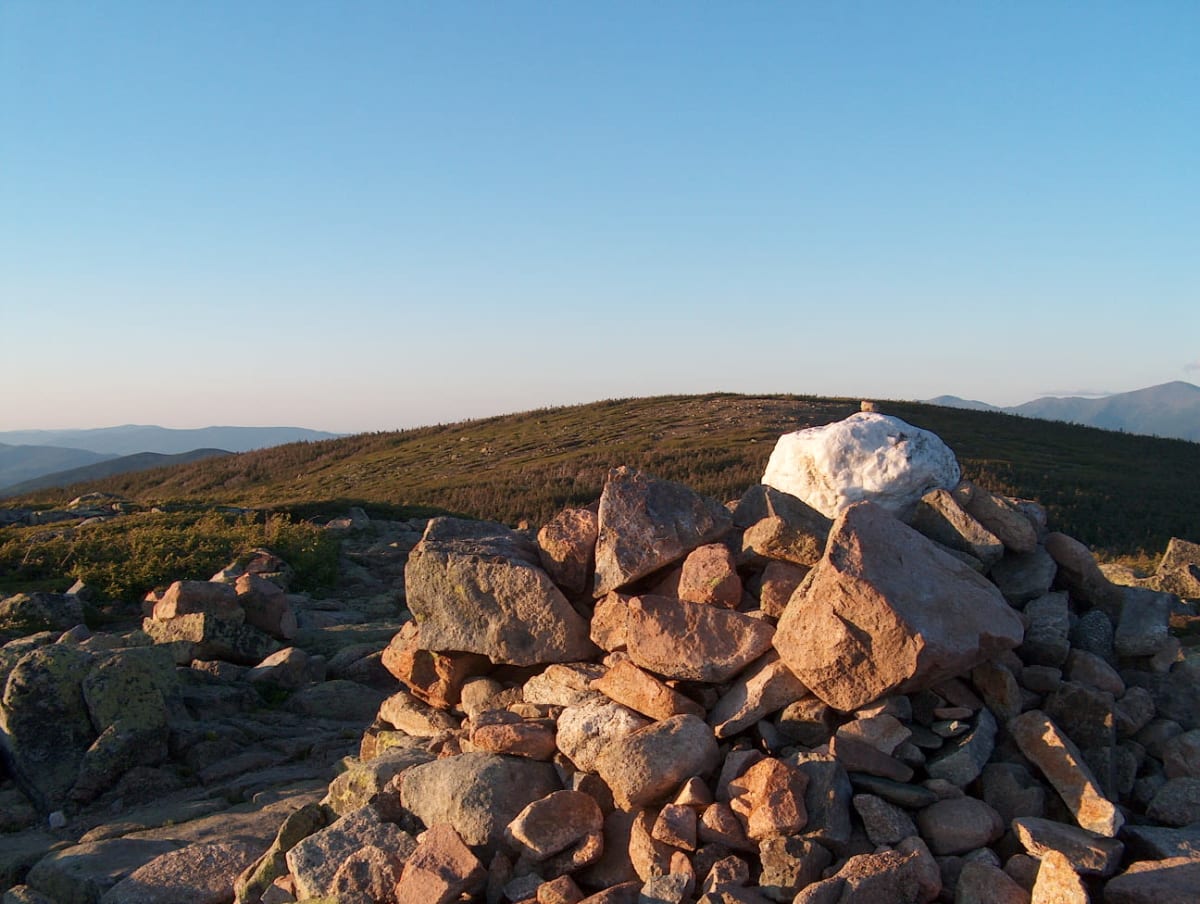
Georgia Pass
Jefferson / Breckenridge, Colorado
Easy Divide crossing between South Park and the Swan River
Photo: Representative photo, not this location (Ken Gallager at en.wikipedia / Public domain / Wikimedia Commons)
Nav gets you to the trailhead. On the trail, Follow trail shows the line and where you are on it — road directions don't work on dirt trails.
The line joins the trail's waypoints in straight lines — it shows the general route, not every turn.
From Jefferson, Michigan Creek Road climbs through forest past Michigan Creek Campground to Georgia Pass at about 11,585 ft, where the Colorado Trail crosses the Continental Divide and spurs head toward Mount Guyot. The south side is maintained and fine for most SUVs, but the north side down the South Fork of the Swan River on FR 355 is steeper and rougher and calls for high clearance and sometimes 4WD. Wildflowers peak in July.
Waypoints
- 1Jefferson
Head northwest from US 285 on CR 35 to CR 54
39.37722, -105.80056
- 2Georgia Pass Road (Michigan Creek Road)
Forested stretch near Michigan Creek Campground
39.41157, -105.88437
- 3Georgia Pass
About 11,585 ft; FR 355 continues north (rougher) to the Swan River
39.45797, -105.91659