
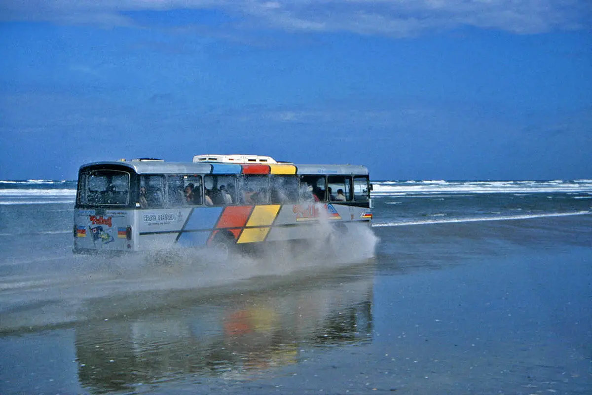
Te Oneroa-a-Tōhē / Ninety Mile Beach
Aupōuri Peninsula, Far North, Northland, New Zealand
An 88 km surf beach that is legally a public highway, from Ahipara to the Te Paki dunes.
Photo: W. Bulach / CC BY-SA 4.0 / Wikimedia Commons
Nav gets you to the trailhead. On the trail, Follow trail shows the line and where you are on it — road directions don't work on dirt trails.
The line joins the trail's waypoints in straight lines — it shows the general route, not every turn.
Te Oneroa-a-Tōhē runs about 88 km up the west coast of the Aupōuri Peninsula from near Ahipara to Scott Point, and it is officially a public highway. The usual access points are Ahipara, Waipapakauri and Hukatere, and Te Paki Stream at the northern end. The full run is only possible when the tide permits, so check tide times and stay off the soft sand and stream mouths on a rising tide. Te Paki Stream is a 4WD-only exit with soft, wet sand through the dunes. Speed limits are 60 km/h on the beach and 30 km/h within 200 m of the ramps. Camping, campervans and fires are banned on the beach. Cell coverage is patchy, and salt spray corrodes vehicles, so wash the underbody afterwards.
Waypoints
- 1Ahipara (southern end)
Town coordinates from the Wikipedia article 'Ahipara' (35°10′17″S 173°9′12″E), at the southern end of the beach. Waipapakauri, further north, is the easier ramp.
-35.17139, 173.15333
- 2Ninety Mile Beach (mid-beach)
Coordinates of the beach from the Wikipedia article 'Ninety Mile Beach, New Zealand' (34°43′S 172°56′E). Hukatere access is on this central stretch.
-34.71700, 172.93300
- 3Te Paki Stream / Te Paki Sand Dunes
Dune coordinates from the Wikipedia article 'Te Paki Sand Dunes' (34°32′S 172°46′E). The dunes abut the beach, and Te Paki Stream is the 4WD-only exit to Te Paki Road and SH1.
-34.54000, 172.77000