
Bardenas Reales – La Blanca loop
Bardenas Reales Natural Park, Navarre, Spain
Gravel loop around the firing range through Navarre's badlands desert
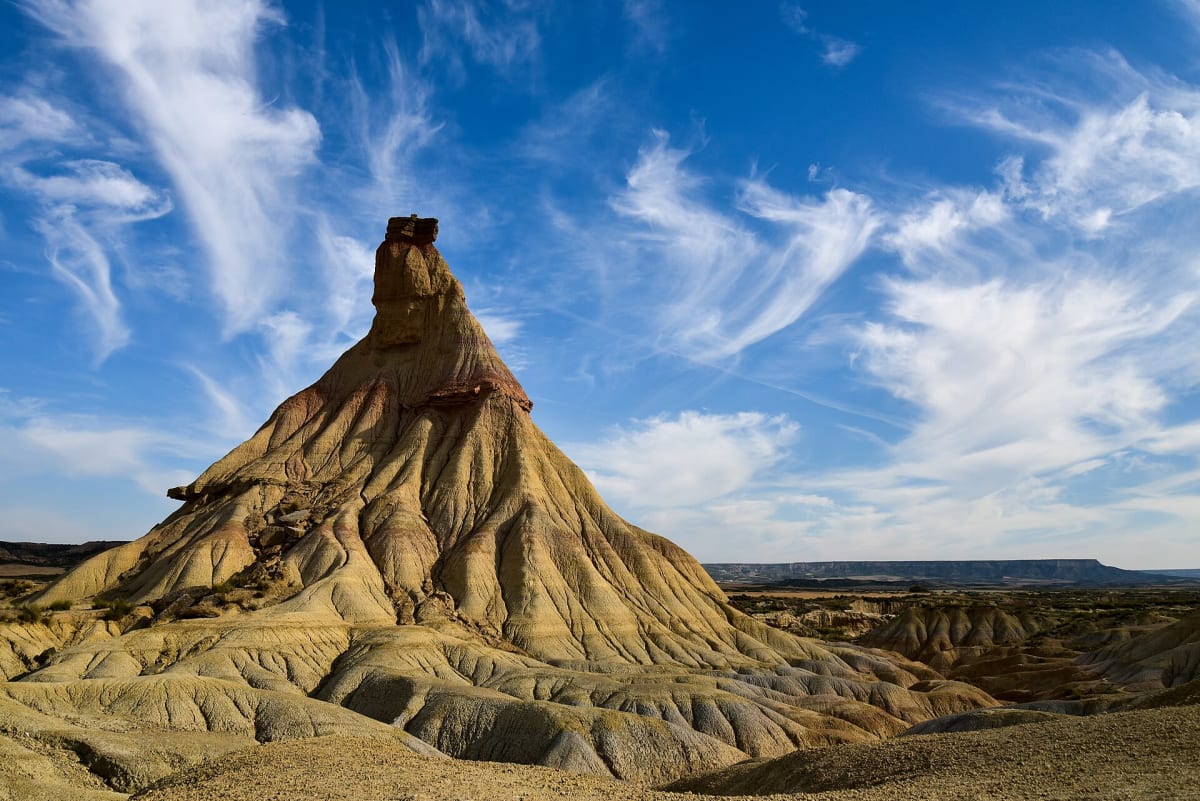
Photo: Representative photo, not this location (Ant°AM / CC BY-SA 4.0 / Wikimedia Commons)
Nav gets you to the trailhead. On the trail, Follow trail shows the line and where you are on it — road directions don't work on dirt trails.
The line joins the trail's waypoints in straight lines — it shows the general route, not every turn.
The main signed route for motor vehicles in the Bardenas Reales semi-desert, a UNESCO biosphere reserve. It runs about 44 km from Arguedas past the eroded clay-and-sandstone chimney of Castildetierra and around the fenced military firing range (Polígono de Tiro) to El Paso and Carcastillo. The tracks are gravel and uneven but mostly passable without 4WD, and they turn to slick mud after rain.
Waypoints
- 1Arguedas
Town on the western side. A tarmac park road (NA-8712, with the information centre) leads to the earth tracks. Coordinate from the Arguedas, Navarre Wikipedia article.
42.17694, -1.59833
- 2Castildetierra
Signature eroded chimney rock on La Blanca. Coordinate from aroundus.com Castildetierra listing.
42.21019, -1.51580
- 3Carcastillo
Northern exit via El Paso and the Carcastillo–Figarol road. Coordinate from the Carcastillo Wikipedia article.
42.35111, -1.41528