
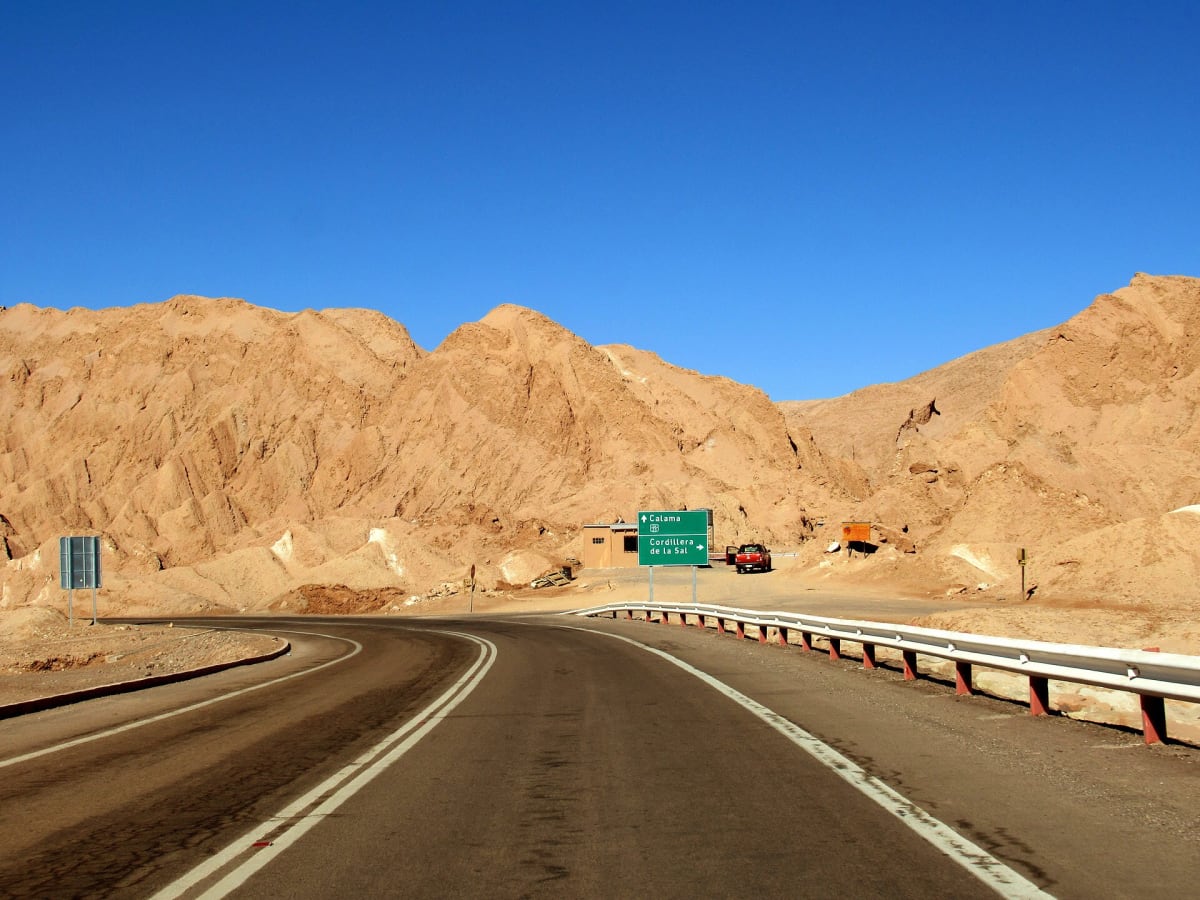
Ruta A-23 (Putre to Chislluma)
Parinacota Province, Arica y Parinacota, Chile
Lonely altiplano gravel past Taapaca and Tacora toward the tri-border
Photo: WeHaKa / CC BY-SA 3.0 / Wikimedia Commons
Nav gets you to the trailhead. On the trail, Follow trail shows the line and where you are on it — road directions don't work on dirt trails.
The line joins the trail's waypoints in straight lines — it shows the general route, not every turn.
Ruta A-23 leaves the paved CH-11 near Putre and heads north across the altiplano for about 83 km of gravel and sand, skirting the Taapaca volcano and passing herds of vicuñas and alpacas. At Chislluma, below Tacora volcano, it becomes asphalt for the last 31 km to Visviri, Chile's northernmost village. The surface varies from smooth to washboard and turns very muddy after rain. dangerousroads.org allows more than six hours for the full 114 km road.
Waypoints
- 1Putre
Wikipedia infobox 18°11′49″S 69°33′34″W; fuel and supplies.
-18.19694, -69.55944
- 2A-23 leaves CH-11
dangerousroads.org Ruta A-23 embedded map route point ≈ -18.1769, -69.5022.
-18.17690, -69.50220
- 3A-23 mid-route (altiplano)
dangerousroads.org Ruta A-23 embedded map route point ≈ -18.0101, -69.5945.
-18.01010, -69.59450
- 4A-23 northern section
dangerousroads.org Ruta A-23 embedded map route point ≈ -17.8751, -69.6879.
-17.87510, -69.68790
- 5Chislluma (start of asphalt to Visviri)
dangerousroads.org Abra Chapoco map, labelled Chislluma -17.69706, -69.68794.
-17.69706, -69.68794