
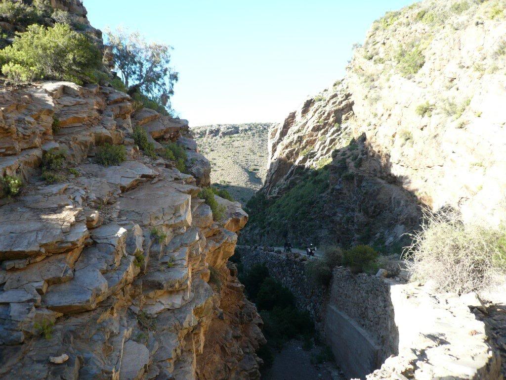
Bosluiskloof Pass
Klein Karoo, Western Cape, South Africa
Remote Klein Karoo gravel pass from Seweweekspoort down to the Gamkapoort Dam
Photo: Vdiest at English Wikipedia / Public domain / Wikimedia Commons
Nav gets you to the trailhead. On the trail, Follow trail shows the line and where you are on it — road directions don't work on dirt trails.
The line joins the trail's waypoints in straight lines — it shows the general route, not every turn.
A remote, unpaved pass that runs west to east from the Seweweekspoort road to the Gamkapoort Dam, with more than 60 curves, unguarded drop-offs and gradients of up to about 20%. The summit is at about 1,124 m, and there are no services along the way. Many Klein Karoo gravel roads were damaged by the May-June 2026 storms, so check conditions locally before you go.
Waypoints
- 1Western end (Seweweekspoort side)
West end route marker from the dangerousroads.org Bosluiskloof map embed
-33.36187, 21.41098
- 2Bosluiskloof Pass summit
Pass coordinate from the wilddog.net.za off-road passes GPS list; about 1,124 m per dangerousroads.org
-33.34217, 21.48519
- 3Eastern end (Gamkapoort Dam side)
East end route marker from the dangerousroads.org Bosluiskloof map embed
-33.30278, 21.62951