
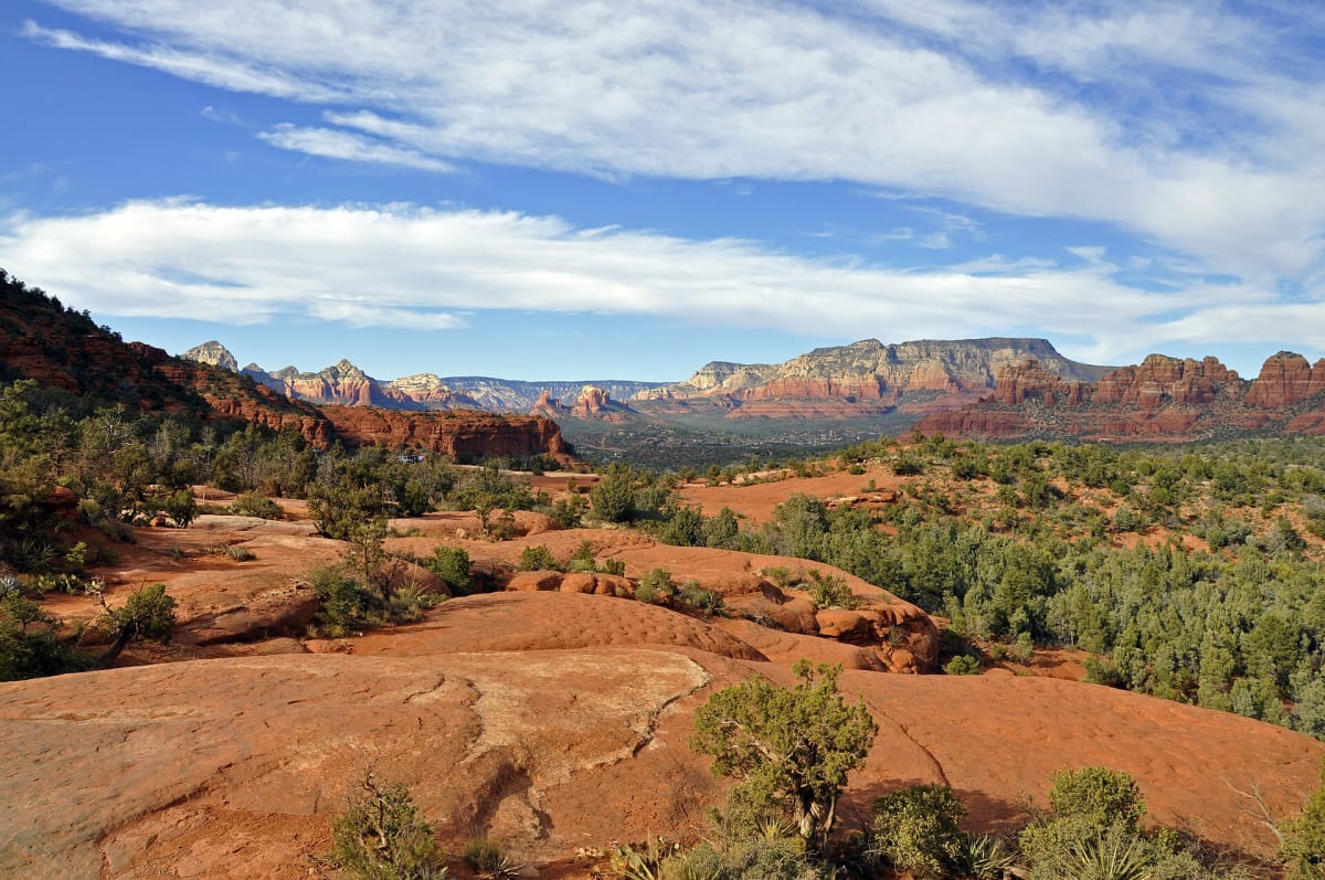
Broken Arrow Trail
Sedona, Arizona
Sedona's signature red-rock slickrock run to Chicken Point
Photo: Coconino National Forest / CC BY-SA 2.0 / Wikimedia Commons
Nav gets you to the trailhead. On the trail, Follow trail shows the line and where you are on it — road directions don't work on dirt trails.
The line joins the trail's waypoints in straight lines — it shows the general route, not every turn.
A short but punchy Forest Service 4x4 route that leaves the end of Morgan Road and climbs across red slickrock to Chicken Point, with side spurs to the Devil's Dining Room sinkhole and Submarine Rock. The return leg drops down the Devil's Staircase, a series of steep slickrock steps where stock vehicles commonly scrape, so skid plates are strongly advised. Expect heavy traffic from tour Jeeps, hikers and mountain bikers, and narrow spots where someone has to back up.
Waypoints
- 1Broken Arrow trailhead (end of Morgan Road)
Coordinates per schwarttzy.com Broken Arrow trail info page; onX anchor 34.8454713,-111.7574061 agrees within ~50 m.
34.84552, -111.75687
- 2Devil's Dining Room sinkhole
Converted from N34 50.424 W111 45.308 listed on geocache GC88Z7F page. Side trip at ~0.4 mi per AZOffroad.
34.84040, -111.75513
- 3Submarine Rock
Converted from N34 50.260 W111 44.825 on geocache GC88Z7F page. Spur at ~1.0 mi (+0.2 mi) per AZOffroad.
34.83767, -111.74708
- 4Mushroom Rock
Converted from N34 50.028 W111 45.133 on geocache GC88Z7F page.
34.83380, -111.75222
- 5Chicken Point
Converted from N34 49.743 W111 45.287 on geocache GC88Z7F page. Turnaround at ~1.7 mi; return via Devil's Staircase (no coordinates verified).
34.82905, -111.75478