
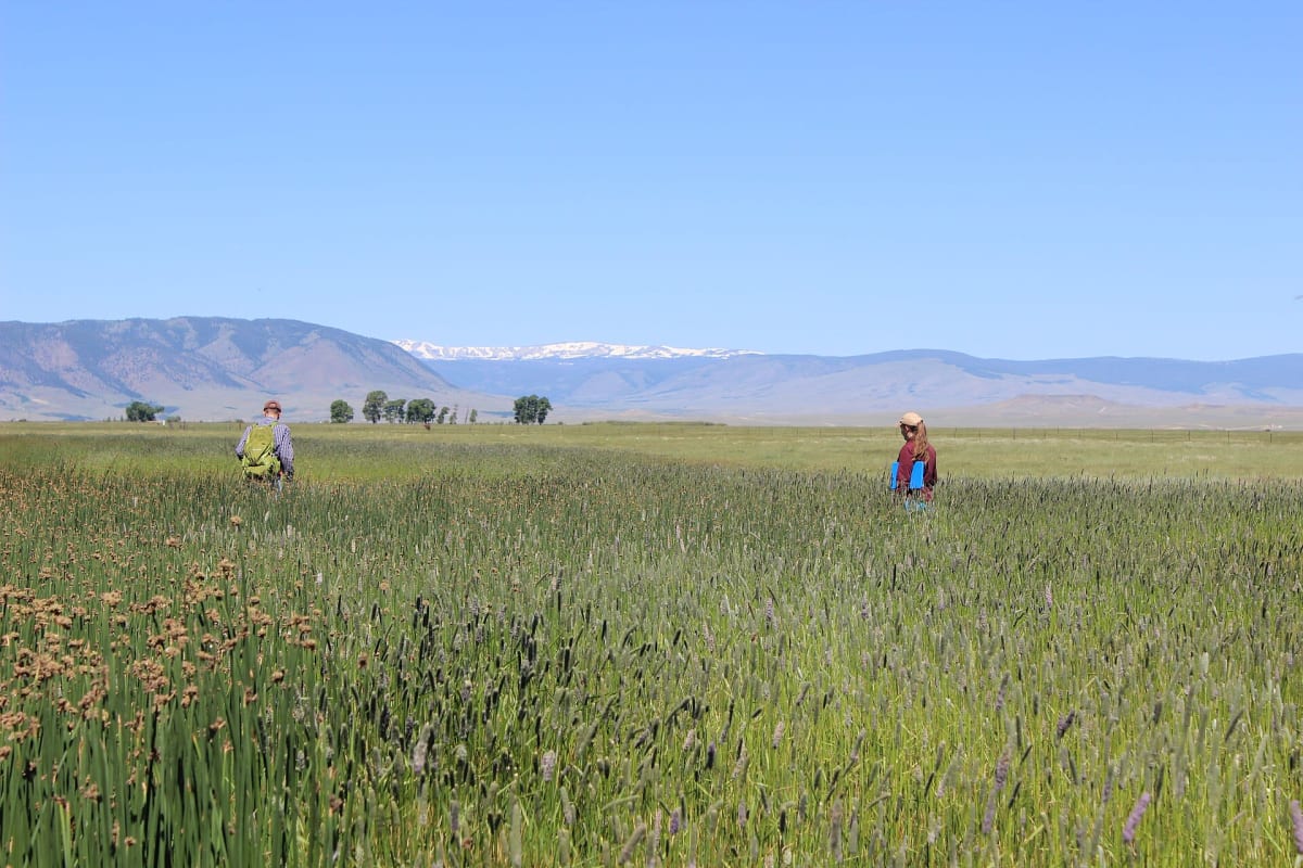
Hunt Mountain Road (Forest Road 10)
Lovell / Burgess Junction, northern Bighorns, Wyoming
Above-treeline traverse over 10,000 ft on the northern Bighorns
Photo: USFWS Mountain Prairie / Public domain / Wikimedia Commons
Nav gets you to the trailhead. On the trail, Follow trail shows the line and where you are on it — road directions don't work on dirt trails.
The line joins the trail's waypoints in straight lines — it shows the general route, not every turn.
Forest Road 10 links US-14A with US-14 north of Granite Pass, running about 22 miles along the crest of the northern Bighorn Mountains between roughly 9,000 and 10,000 ft. The gravel and dirt surface is easy when dry, with big views over the Bighorn Basin and west to the Absarokas, and spurs lead off to Sunlight Mesa and rougher four-wheel-drive and ATV routes. Snowdrifts linger well into summer and rain turns it to deep rutted mud.
Waypoints
- 1US-14A end
Route waypoint 1 of the dangerousroads.org embedded map, at the Highway 14A end.
44.76340, -107.75511
- 2Northern crest
Route waypoint 2 of the dangerousroads.org embedded map.
44.74046, -107.74354
- 3Hunt Mountain (10,045 ft)
Route waypoint 3 of the dangerousroads.org embedded map, across the Hunt Mountain high point.
44.69292, -107.62307
- 4US-14 end north of Granite Pass
Route waypoint 4 of the dangerousroads.org map; matches the onX trail map point 44.6441745,-107.5031588.
44.64407, -107.50359